☰ Menu
Images
Products
Log in
Basket:
0
items
Popular
Subjects
Artists
Collections
Art prints
Frames
Canvases
Postcards
Gift cards
Brooklyn borough posters & prints
Showing 1 to 36 of 643
Search these images +
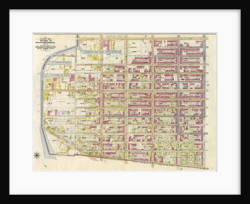
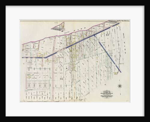
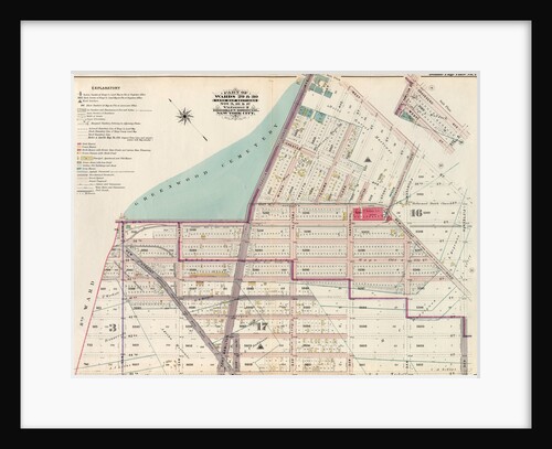
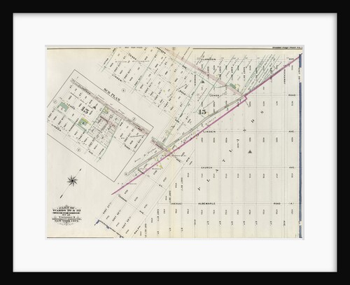
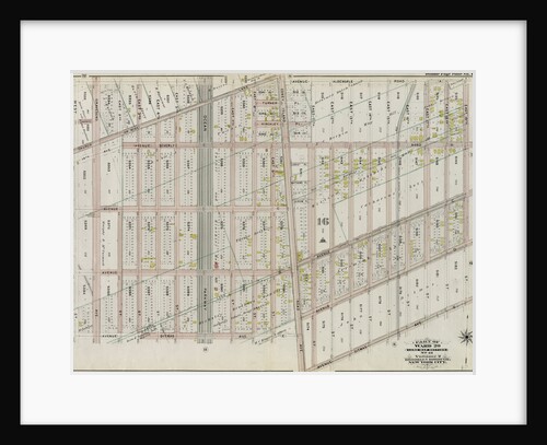
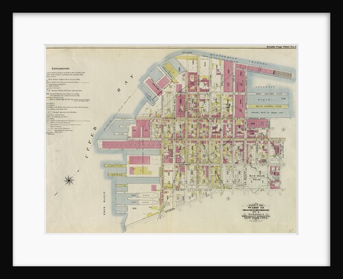
Part of Ward 22. Land Map Section, No. 4, Volume 1, Brooklyn Borough, New York City
Anonymous
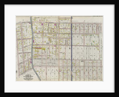
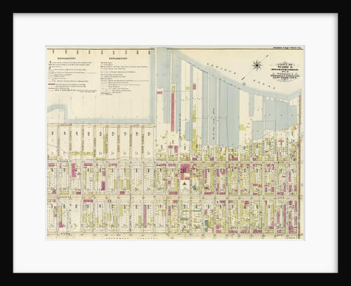
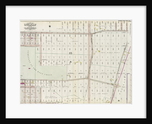
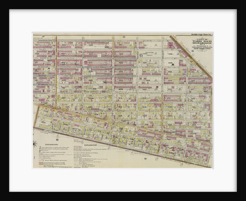
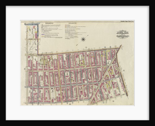
Part of Ward 29. Land Map Sections, Nos. 15, & 16. Volume 2, Brooklyn Borough, New York City
Anonymous
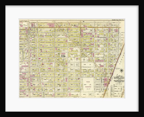
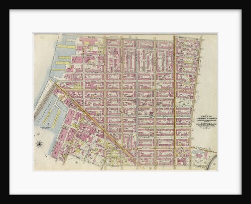
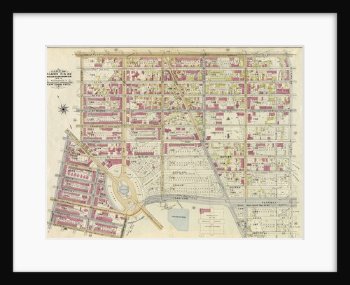
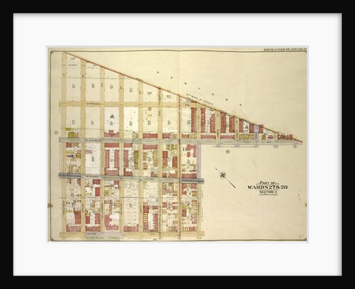
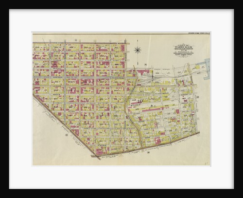
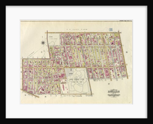
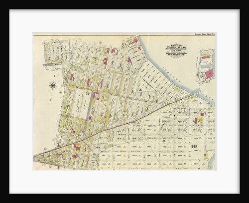
Part of Wards 27 & 28. Land Map Section, No. 11, Volume 1, Brooklyn Borough, New York City
Anonymous
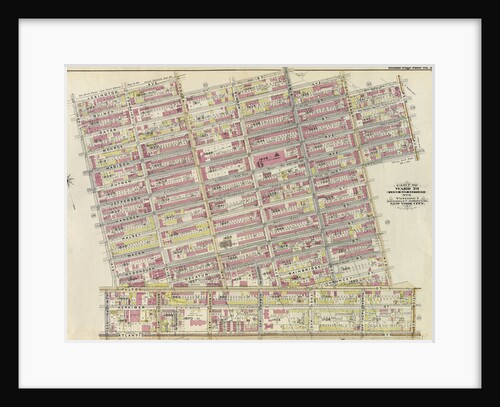
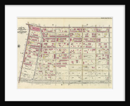
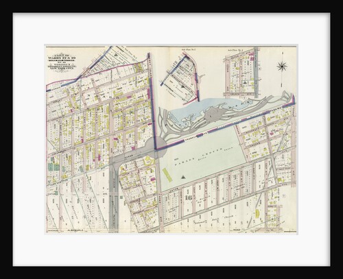
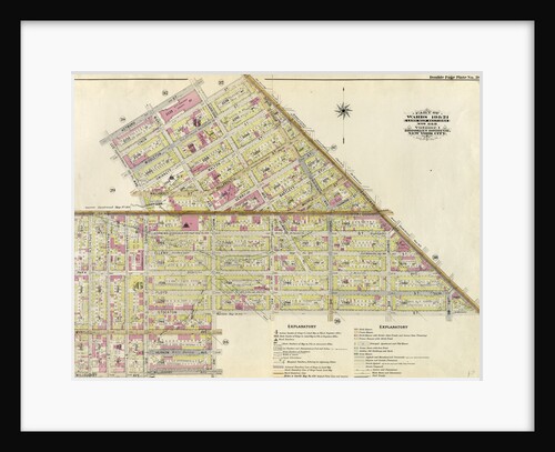
Part of Ward 23. Land Map Section, No. 6, Volume 1, Brooklyn Borough, New York City
Anonymous
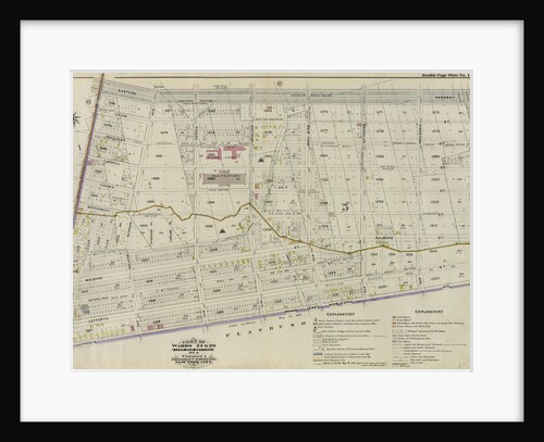
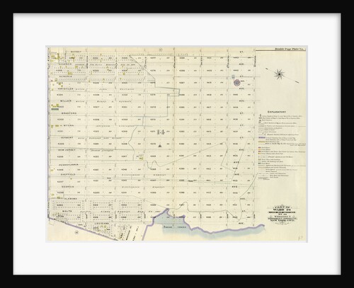
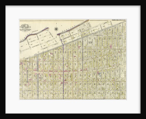
Part of Ward 24. Land Map Section, No. 5, Volume 1, Brooklyn Borough, New York City
Anonymous
Part of Wards 6,10 & 12. Land Map Section, No. 2, Volume 1, Brooklyn Borough, New York City
Anonymous
Part of Ward 12. Land Map Section, No. 2, Volume 1, Brooklyn Borough, New York City
Anonymous
Part of Wards 24 & 29. Land Map Section, No. 5, Volume 1, Brooklyn Borough, New York City
Anonymous
Part of Ward 30, Land Map Section, No. 18. Volume 2, Brooklyn Borough, New York City
Anonymous
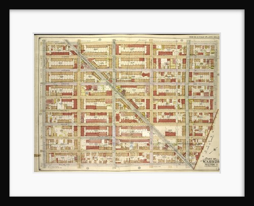
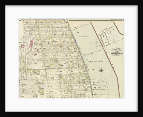
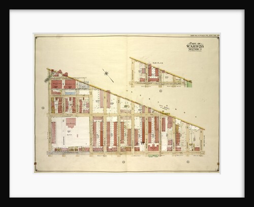
Part of Ward 26. Land Map Section, No. 14. Volume 1, Brooklyn Borough, New York City
Anonymous
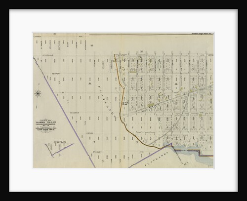
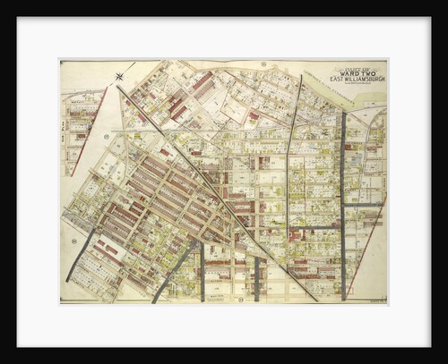
Map bounded by Stanhope St., St.Nicholas Ave., Boundary Line Borough of Brooklyn and Queens; Including Palmetto St., Central Ave., New...
Anonymous
Part of Ward 29. Land Map Sections, Nos. 5, 12, & 15. Volume 2, Brooklyn Borough, New York City
Anonymous
Part of Wards 29 & 30, Land Map Sections, Nos. 3, 16 & 17, Volume 2, Brooklyn Borough, New York...
Anonymous
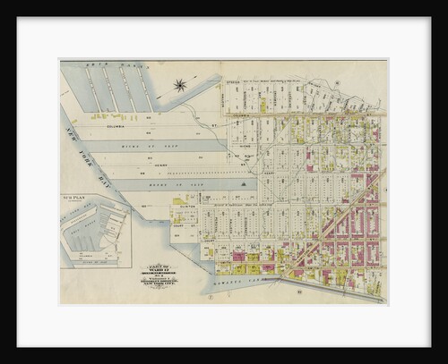
Part of Ward 8. Land Map Section, No. 3, Volume 1, Brooklyn Borough, New York City
Anonymous
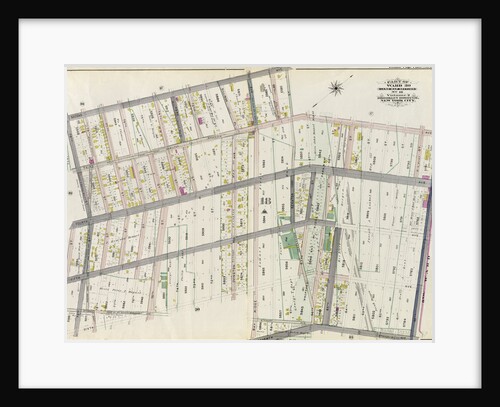
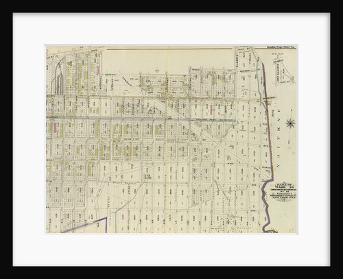
Part of Wards 9, 22 . Land Map Section, No. 4, Volume 1, Brooklyn Borough, New York City
Anonymous
Part of Wards 22 & 29. Land Map Section, No. 16. Volume 2, Brooklyn Borough, New York City
Anonymous
Part of Ward 30, Land Map Sections, Nos. 17, 18 & 19. Volume 2, Brooklyn Borough, New York City
Anonymous
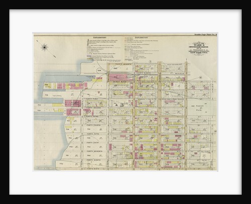
Part of Wards 13 & 14. Land Map Section, No. 8, Volume 1, Brooklyn Borough, New York City
Anonymous
Map bounded by Boundry Line of Borough of Brooklyn and Queens, Ralph St., St.Nicholas Ave; Including Stanhope St., Irving Ave.,...
Anonymous
Part of Wards 29 & 32, Land Map Section, No. 15. Volume 2, Brooklyn Borough, New York City
Anonymous
Part of Wards 29 & 32, Land Map Section, No. 15. Volume 2, Brooklyn Borough, New York City
Anonymous
Part of Wards 23 & 25. Land Map Section, No. 6, Volume 1, Brooklyn Borough, New York City
Anonymous
Part of Wards 16 & 18. Land Map Section, No. 10, Volume 1, Brooklyn Borough, New York City
Anonymous
Part of Wards 19 & 21. Land Map Sections, No. 6 & 8, Volume 1, Brooklyn Borough, New York City
Anonymous
Part of Ward 29. Land Map Section, No. 16. Volume 2, Brooklyn Borough, New York City
Anonymous
Part of Wards 9, 22 . Land Map Section, No. 4, Volume 1, Brooklyn Borough, New York City
Anonymous
Part of Ward 26. Land Map Sections, Nos. 12 & 13. Volume 1, Brooklyn Borough, New York City
Anonymous
Part of Wards 11 & 20. Land Map Section, No. 7, Volume 1, Brooklyn Borough, New York City
Anonymous
Part of Wards 26 & 32. Land Map Section, No. 12, Volume 1, Brooklyn Borough, New York City
Anonymous
Part of Ward 26. Land Map Section, No. 13. Volume 1, Brooklyn Borough, New York City
Anonymous
Part of Ward 12. Land Map Section, No. 2, Volume 1, Brooklyn Borough, New York City
Anonymous
Part of Ward 8. Land Map Section, No. 3, Volume 1, Brooklyn Borough, New York City
Anonymous
Part of Ward 26. Land Map Section, No. 13. Volume 1, Brooklyn Borough, New York City
Anonymous
Map bounded by Boundry line of borough of Brooklyn and Queens, Schaeffer St., Kinckerbocker Ave; Including Palmetto St., Myrtle Ave;...
Anonymous
Part of Wards 17 & 18. Land Map Sections, No. 9 & 10, Volume 1, Brooklyn Borough, New York City
Anonymous
Map bounded by Cooper Ave., Moffatt St., Irving Ave., Boundary line between borough of Queens and Brooklyn, Wyckof Ave., Madison...
Anonymous
1
2
3
…
18
Next »
Recently viewed
Clear history