☰ Menu
Images
Products
Log in
Basket:
0
items
Popular
Subjects
Artists
Collections
Art prints
Frames
Canvases
Postcards
Gift cards
Cartography posters & prints
Showing 1 to 36 of 1000
Search these images +
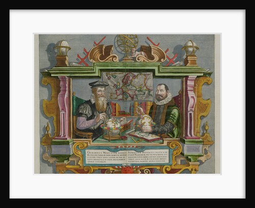
Cartographers Gerard Mercator and Jodocus Hondius
Anonymous
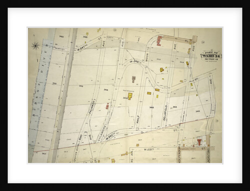
Atlas of the borough of the Bronx, city of New York, by and under the supervision of Hugo Ullitz
Anonymous
Use of the magnetic compass in map making, 1643
Unknown
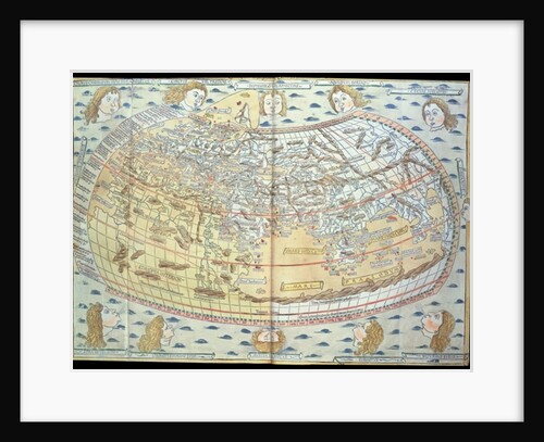
Map of the world, based on descriptions and co-ordinates given in 'Geographia', first published in Ulm, Germany
Ptolemy
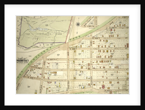
Atlas of the borough of the Bronx, city of New York, by and under the supervision of Hugo Ullitz
Anonymous
Rectangular world map
Anonymous master
Chart of the World, printed at the Lithographic Establishment, Horse Guards, 1821
James the Elder Wyld
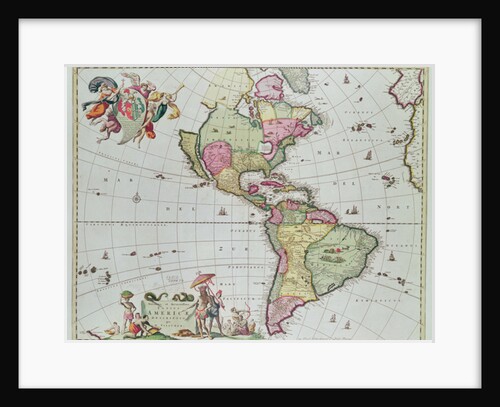
Novissima et Accuratissima Totius Americae Descriptio per N. Visscher, 1648
Nicolaes Jansz (1586-1652) Visscher
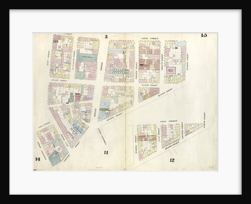
Map bounded by Division Street, Montgomery Street, South Street, Rutgers Street. 1857
Anonymous
Orbis terrarum nova et accuratissima tabula, ca 1690
Nicolaes Visscher
Sea chart of various Surinamese rivers
Anonymous
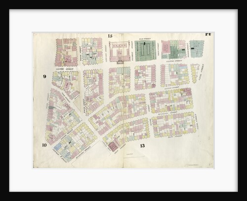
Map bounded by Canal Street, Mott Street, Cross Street, Mulberry Street, Chatham Street, Pearl Street, Elm Street. 1857
Anonymous
Map of the Kingdom of Bohemia, 1722
Anonymous
Portrait of the cartographer, Gerardus Mercator
Anonymous
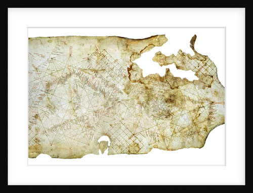
Carta Pisana, ca 1275-1300
Anonymous master
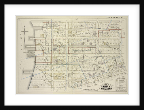
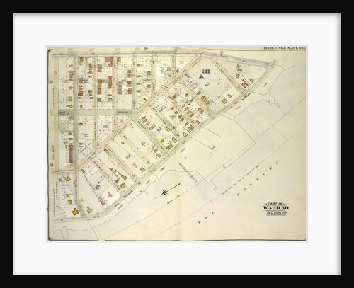
Map bound by Huron St., Oakland St., Calyer St., East River; Including India St., Java St., Kent St., Green Point...
Anonymous
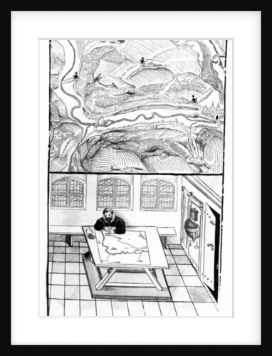
Cartographer at Work
European School
Map bounded by West 17th Street, Eighth Avenue, West 13th Street, Gansevoort Street, West 12th Street, Tenth Avenue. 1857
Anonymous
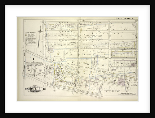
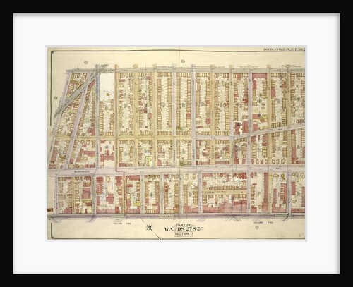
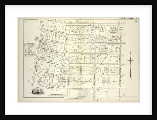
Map bounded by Putnam Ave., Tompkins Ave., Brooklyn Ave., New York Ave., Atlantic Ave., Franklin Ave., Brevoort Pl., Bedford Ave;...
Anonymous
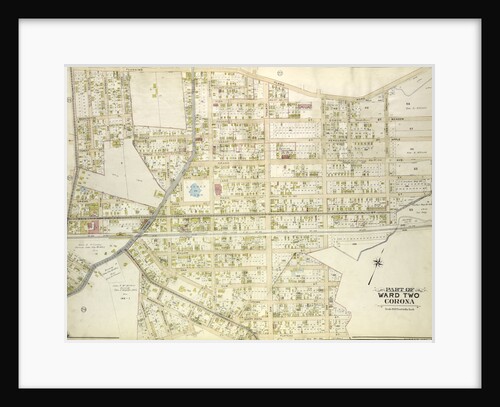
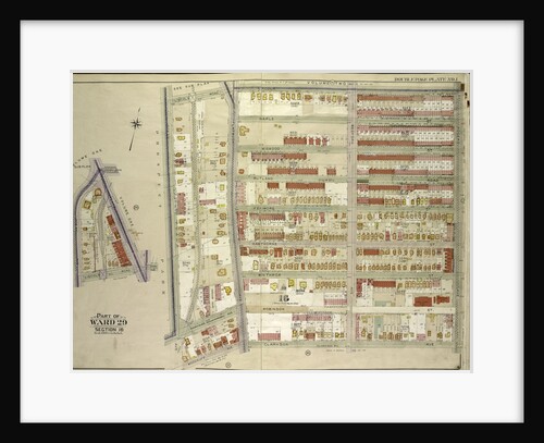
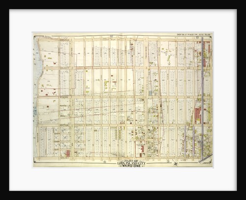
Map bounded by Flushing Plank Road, Peartree Summit Ave., Meadow St., Apple St., Grand Ave. Roosevelt St., Lake St., Park...
Anonymous
Vinland Map of New World
Anonymous
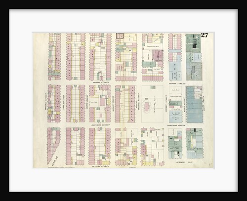
Map bounded by Canal Street, Division Street, Chatham Square, Mulberry Street, Cross Street, Mott Street. 1857
Anonymous
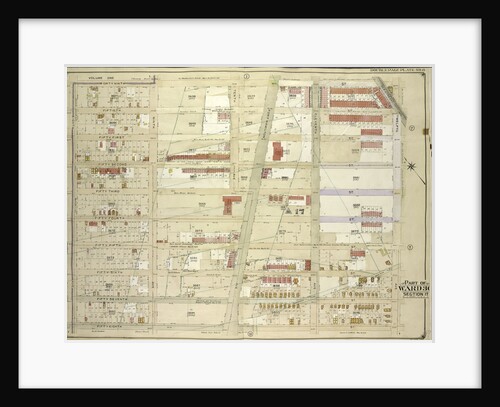
Map bounded by Central Ave., Palmetto St; Including Broadway, Lawton St., Hart St., New York
Anonymous
Map bound by Herkimer St., Rockaway Ave., Fulton St., Truxton St., City Line, Prospect Pl., Hopkinson Ave; Including Atlantic Ave.,...
Anonymous
Map bounded by Flatbush Ave., Lincoln Road, Ocean Ave., New York
Anonymous
Map bounded by 49th St., 12th Ave; Including 58th St., 8th Ave., New York
Anonymous
Map bound by Atlantic Ave., New York Ave., Butler St., Park Pl., Franklin Ave; Including Pacific St., Dean St., Bergen...
Anonymous
Map bounded by Kent Ave., Be Kalb Ave; Including Waverly Ave., Flushing Ave., New York
Anonymous
Map bounded by 3rd Ave., Bay Ridge Parkway; Including 91st St., New York
Anonymous
Part of Section 8: New York
Anonymous
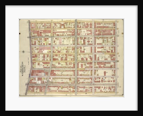
Map bounded by Winthrop Ave
Anonymous
Map bounded by 20th Ave., Benson Ave., Ruthrford Pl; Including 17th Ave., New Utrech Ave., 78th St., New York
Anonymous
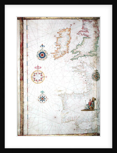
The British Isles and Iberia
Diego Homem
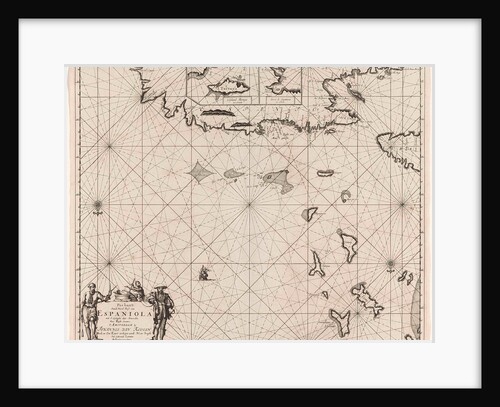
Sea chart of the north coast of Hispaniola, with two insert cards
Johannes van Keulen I
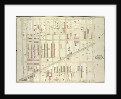
Map bounded by 18th Ave., 68th St; Including 15th Ave., 67th St., New York
Anonymous
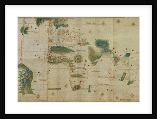
World Map
Anonymous
1
2
3
…
28
Next »
Recently viewed
Clear history