☰ Menu
Images
Products
Log in
Basket:
0
items
Popular
Subjects
Artists
Collections
Art prints
Frames
Canvases
Postcards
Gift cards
English cartographer posters & prints
Showing 1 to 36 of 1000
Search these images +
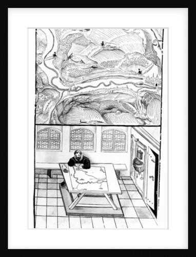
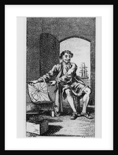
Cartographer at Work
European School
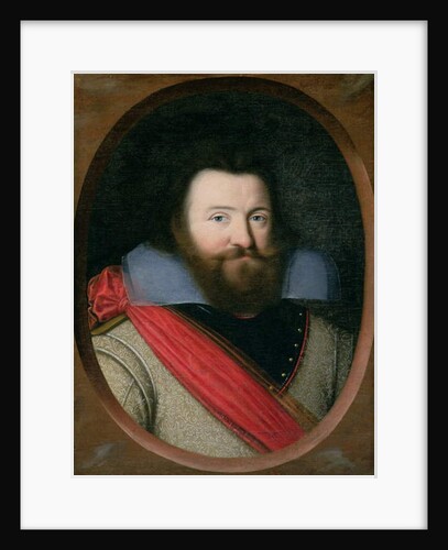
Captain John Smith, 1st Governor of Virginia, c.1616
English School
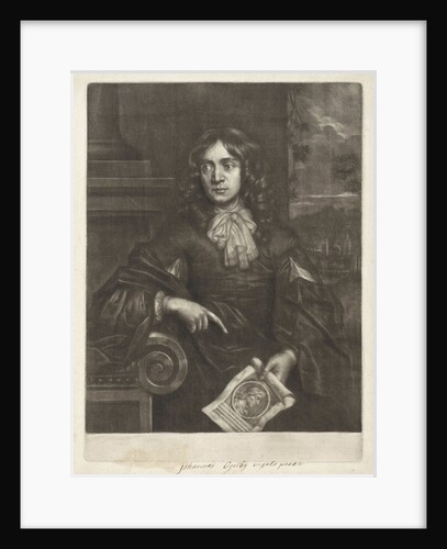
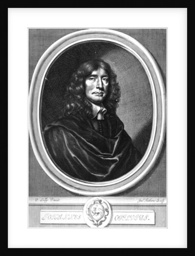
Portrait of John Ogilby
Paul van Somer II
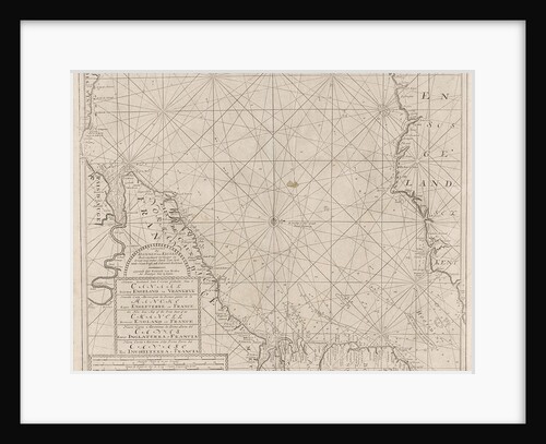
Sea chart of the Channel between England and France, Part 1
Anonymous
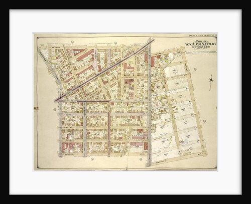
Map bounded by Engert Ave. Van Pelt Ave., Morgan Ave; Including Maspeth Ave., Skillman Ave., Manhattan Ave., New York
Anonymous
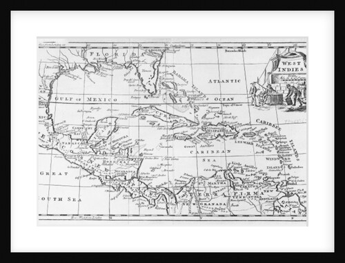
Map of the West Indies, Florida and South America
English School
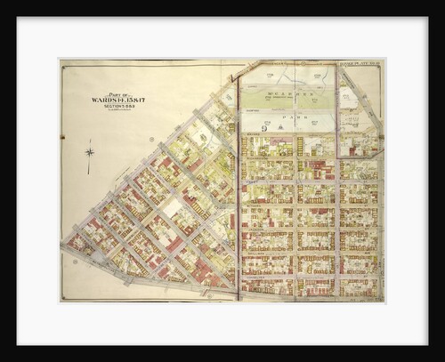
Map bounded by Park Ave., Southampton Ave., Ostend Ave., Dover Ave., Brighton Ave., Essex Ave., Norfolk Ave., Oxford Ave., Henley...
Anonymous
Reiner Gemma Frisius, Dutch astronomer, geographer, cartographer and mathematician, 1539
Unknown
Map bounded by Atlantic Ave., Rockaway Ave., East New York Ave; IncludingSt. Johns PL. Douglass St., Ralph Ave., New York
Anonymous
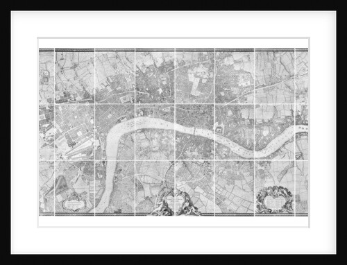
A plan of the cities of London and Westminster, and borough of Southwark, 1746
John Rocque
Sebastian Cabot, c.1750-70
Samuel (after) Wale
Map bound by Decatur St., Patchen Ave., Buffalo Ave., Pacific Ave., Dean St., Troy Ave., Yates Ave; Including Bainbridge St.,...
Anonymous
John Ogilby
Peter Lely
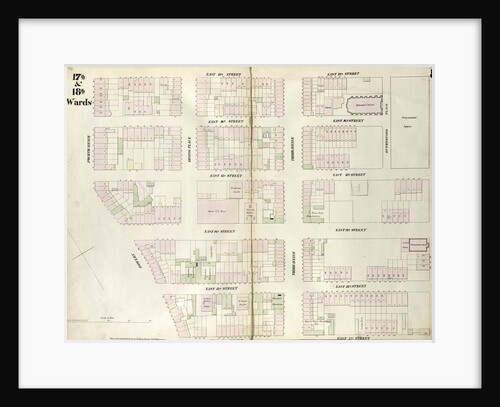
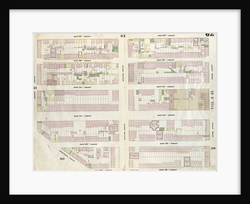
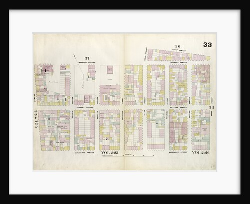
Map bounded by West 22nd Street, Sixth Avenue, West 18th Street, Eighth Avenue, New York
Anonymous
Map bounded by East 17th Street, Second Avenue, East 12th Street, Bowery, Fourth Avenue. 1852, 1854
Anonymous
Map bounded by W. 3rd St., E. 3rd St., Essex Ave., Broome St., S. 5th Ave., New York
Anonymous
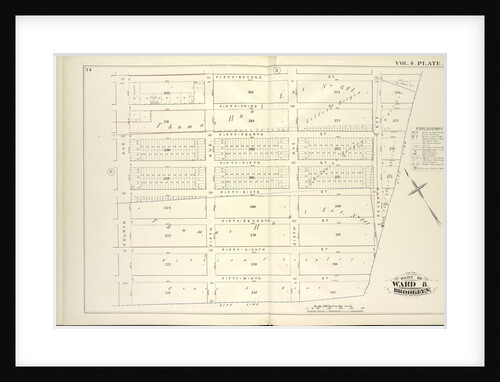
Map bound by Fifty-Second St., City Line, Fourth Ave; Including Fifty-Third St., Fifty-Fourth St., Fifty-Fifth St., Fifty-Sixth St., Fifty-Seventh St.,...
Anonymous
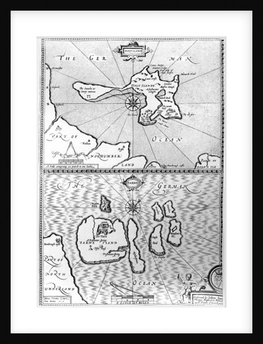
Maps of Holy Island and Farne Island, Northumberland
John Speed
Map bounded by West 17th Street, Sixth Avenue, 12th Street, Greenwich Avenue, Eighth Avenue. 1857
Anonymous
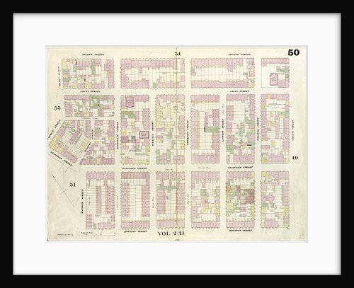
Map bounded by 4th Street, Green Street, Houston Street, Hancock Street, Bleeker Street, Carmine Street, Sixth Avenue. 1857
Anonymous
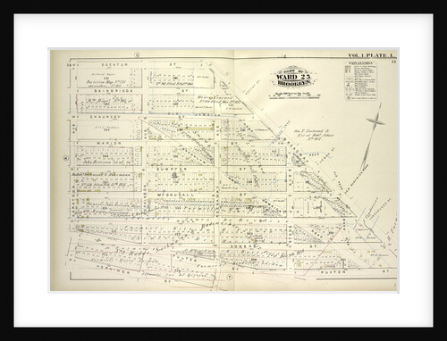
Map bound by Decatur St., Broadway, Ruxton St., Rockaway Ave., Herkimer St., Saratoga Ave; Including Bainbridge St., Chauncey St., Marion...
Anonymous
Map bounded by Grand Street, Attorney Street, Division Street, Allen Street. 1852, 1854
Anonymous
Map bounded by Washington Ave., Webster Ave., Freeman Ave., Rapelje Ave., Beebe Ave., Payntar Ave., Wilbur Ave., Hunter Ave., Jackson...
Anonymous
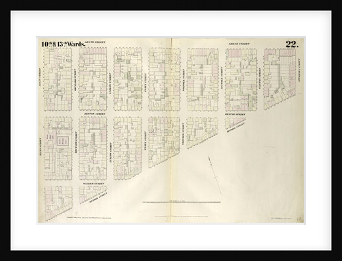
Map bound by Harrison St., Court St., Butler St., Hoyt St., Carroll St., Smith St., Henry St; Including Degraw St.,...
Anonymous
Map bounded by Carroll Street, Columbia Street, Rapelye Street, Henry Street, Luquer Street, Commerce Street, Richards Street
Anonymous
Abraham Ortel Ortelius and his world map of 1569
American School
Map bounded by Engert Ave., Manhattan Ave., Metropolitan Ave; Including Driggs Ave., New York
Anonymous
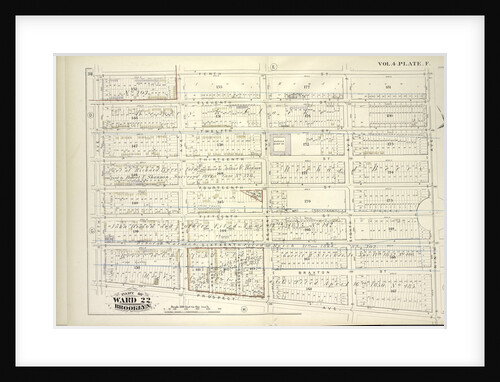
Map bound by Forty-Fourth St., City Line, Fifty-Second St., Fourth Ave; Including Forty-Fifth St., Forty-Sixth St., Forty-Seventh St., Forty-Eighth St.,...
Anonymous
Map bounded by Houston Street, Allen Street, 1st Street, Essex Street, Rivington Street, Bowery. 1857
Anonymous
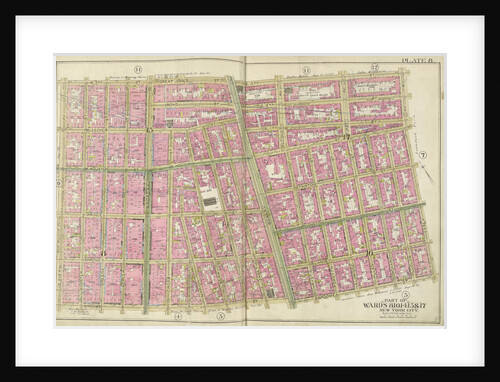
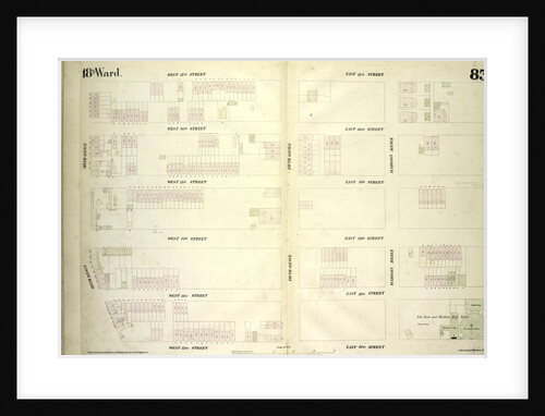
Map bounded by West 37th Street, East 37th Street, Fourth Avenue, East 32nd Street, West 32nd Street, Sixth Avenue, New...
Anonymous
Map bound by Tenth St., Ninth Ave., Prospect Ave., Fifth Ave; Including Eleventh St., Twelfth St., Thirteen St., Fourteenth St.,...
Anonymous
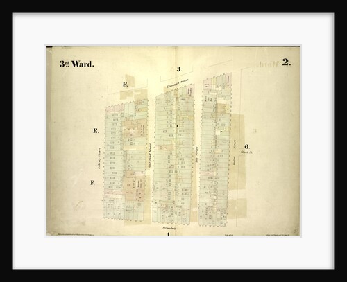
Map bounded by Greenwich Street, Fulton Street, Broadway, Liberty Street; Including Church St, Courtland Street, Dey Street, New York
Anonymous
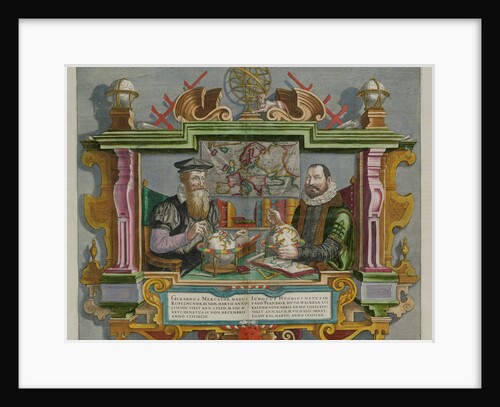
Cartographers Gerard Mercator and Jodocus Hondius
Anonymous
Map bounded by W. 47th St., Lexington Ave., W. 36th St., 8th Ave., New York
Anonymous
Map bounded by Bowery, Rivington Street, Ludlow Street, Canal Street; Including Chrystie Street, Forsyth Street, Eldridge Street, Allen Street, Orchard...
Anonymous
Map bounded by Fifth Ave., Sixth Ave., Seventh Ave., Eighth Ave., East Eighth Ave., East Ninth Ave., E. 10th Ave.,...
Anonymous
1
2
3
…
28
Next »
Recently viewed
Clear history