☰ Menu
Images
Products
Log in
Basket:
0
items
Popular
Subjects
Artists
Collections
Art prints
Frames
Canvases
Postcards
Gift cards
French miles posters & prints
Showing 1 to 36 of 1000
Search these images +
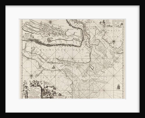
Sea chart of part of the Elbe, the Weser and Jadebusen
Anonymous
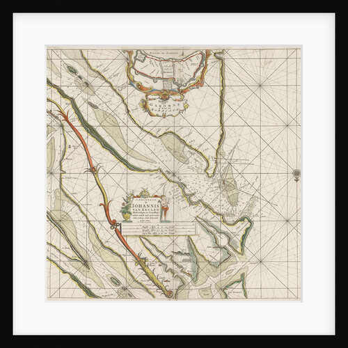
Sea chart of the River Gironde to Bordeaux
Johannes van Keulen I
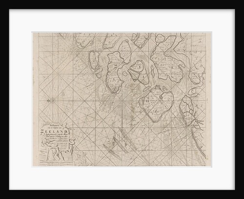
Sea chart of the Zeeland Islands and part of the North Sea
Johannes van Keulen I
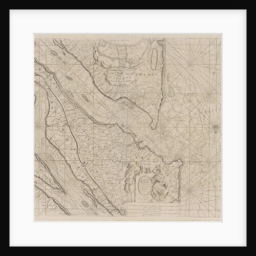
Sea chart of the Garonne, France
Anonymous
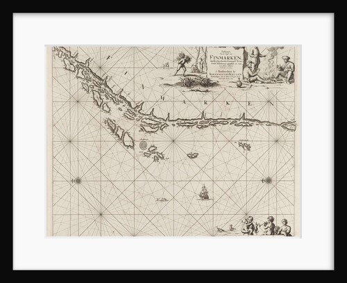
Sea chart of part of the Norwegian coast, Norway
unknown
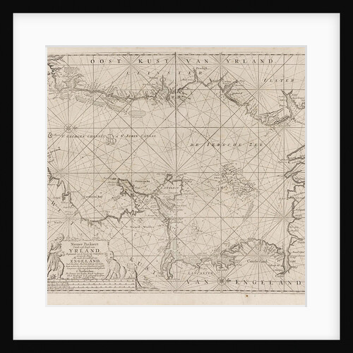
Sea chart of part of the Irish Sea between Ireland and Britain, and the St George's Channel
Jan Luyken
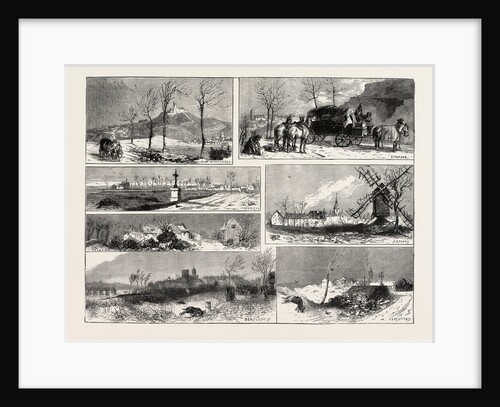
The Two Hundred Miles Through France on a Limber Waggon
Anonymous
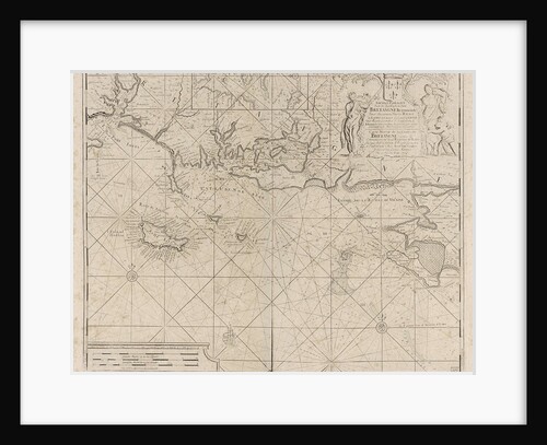
Sea chart of the coast of France between the island of Groix and the municipality of La Baule-Escoublac
Johannes van Keulen I
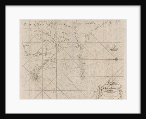
Map of the west coast of Brittany
Johannes van Keulen I
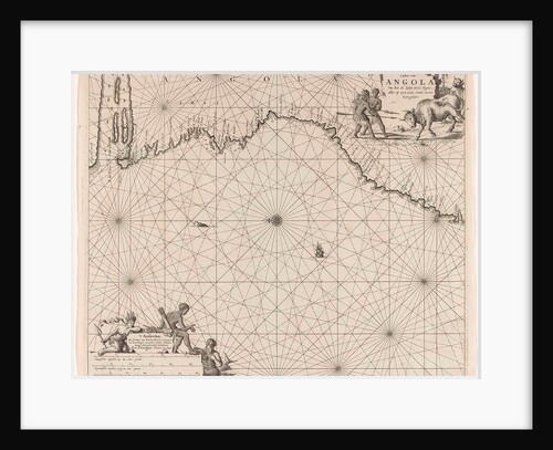
Sea chart of the coast of Congo and Angola
unknown
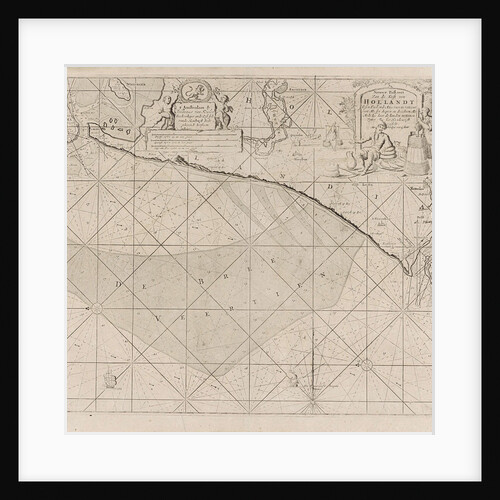
Sea chart of the coast of Holland between Texel and the Meuse
Johannes van Keulen I
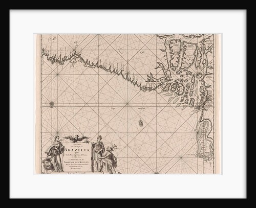
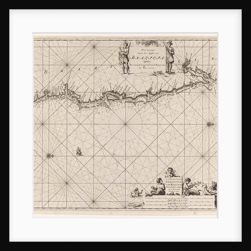
Sea chart of part of the coast of Brazil with the delta of the Amazon river
Johannes van Keulen I
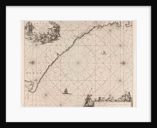
Sea chart of the coast of Congo, Gabon and Angola
Anonymous
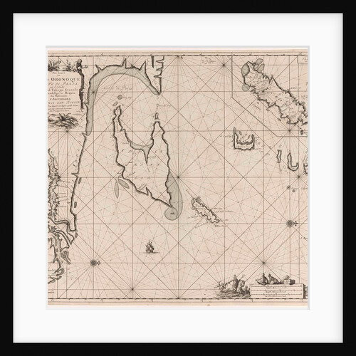
Sea chart of the Gulf of Paria to the mouth of the Orinoco river, Orinoquia, Venezuela
Johannes van Keulen I
Sea chart of part of the coast of Brittany
Anonymous
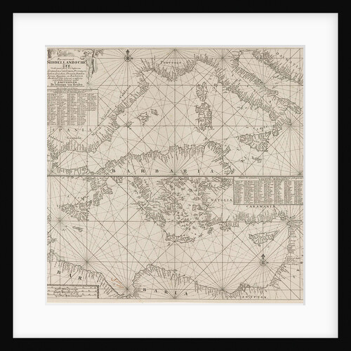
the Mediterranean Sea Map with over the western and the eastern part under
Anonymous
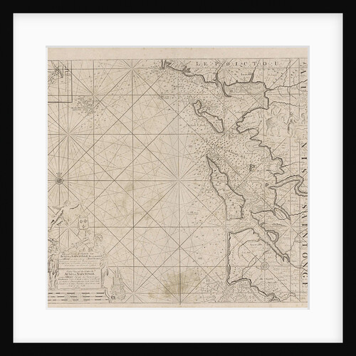
Sea chart of Saintonge and Aunis
Johannes van Keulen I
Sea chart of the east coast of Brazil
Johannes van Keulen I
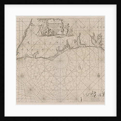
Sea map of part of the south coast of Portugal and Spain with the Algarve and Andalucia
Johannes van Keulen I
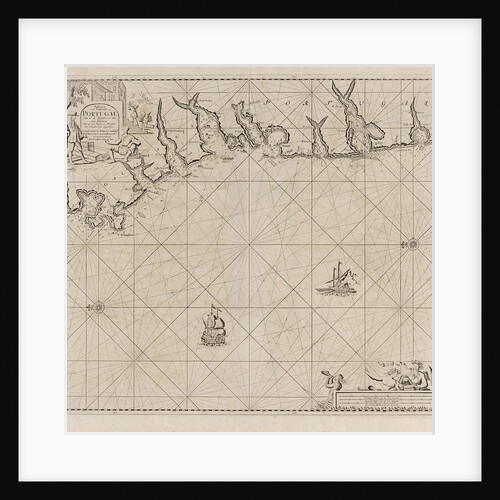
Sea chart of part of the south coast of Portugal
Johannes van Keulen I
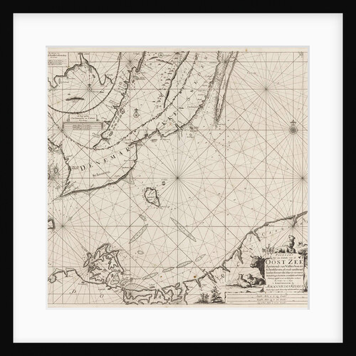
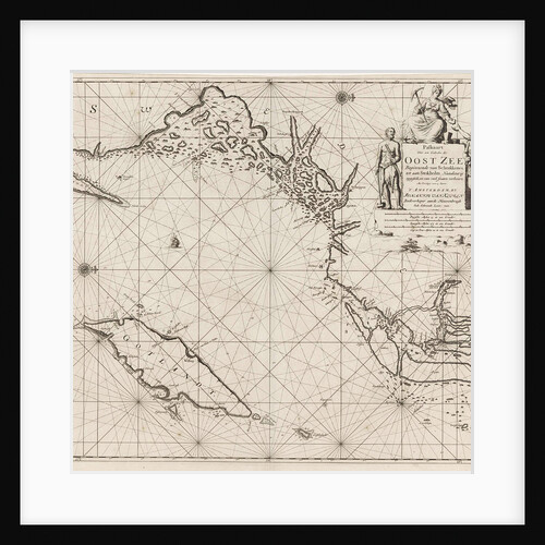
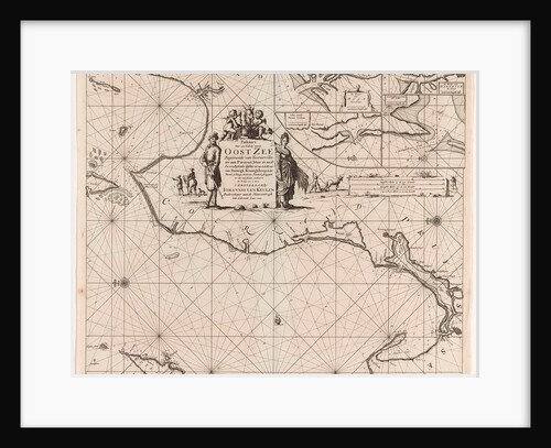
Sea chart of the southern part of the Baltic Sea
Anonymous
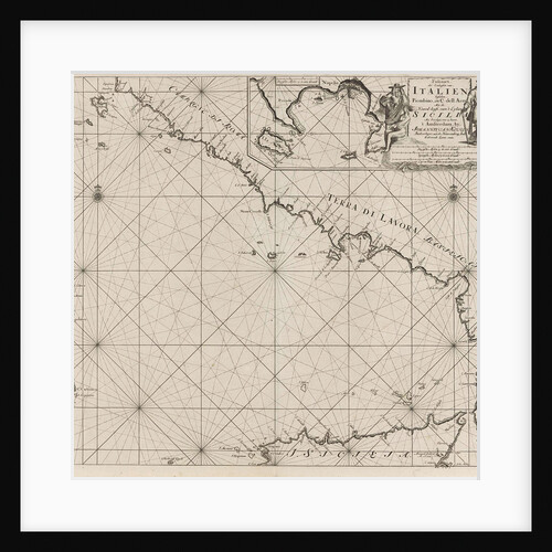
Sea chart of part of the southwest coast of Italy and the north coast of Sicily
Anonymous
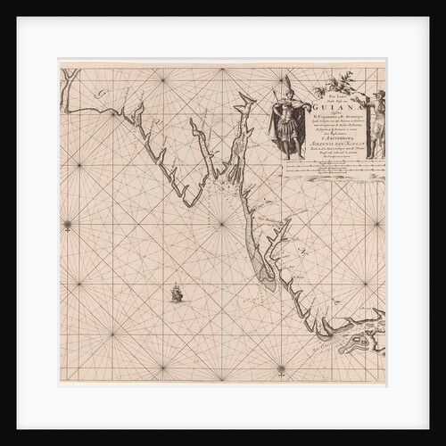
Sea chart of part of the coast of Suriname and Guyana
Johannes van Keulen I
Sea chart of various Surinamese rivers
Anonymous
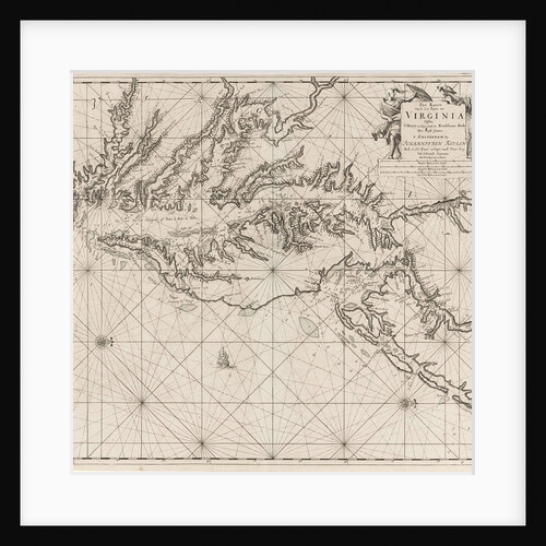
Sea chart of part of the coast of Virginia
Johannes van Keulen I
Sea chart of the northwestern part of the Baltic Sea by the Swedish coast
unknown
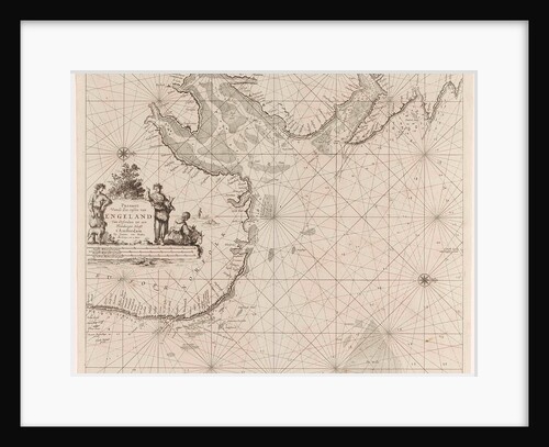
Sea chart of the east coast of England, with the mouth of the Humber
Anonymous
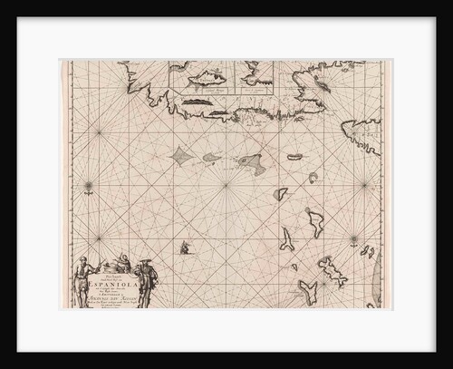
Sea chart of the north coast of Hispaniola, with two insert cards
Johannes van Keulen I
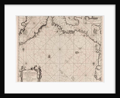
Sea chart of the coasts of Colombia, Panama, Costa Rica and Honduras, with an inset map of Cartagena
Johannes van Keulen I
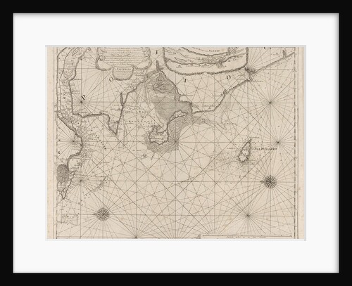
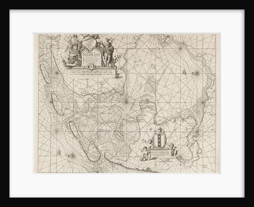
Sea chart of the Zuiderzee and the Wadden Sea
unknown
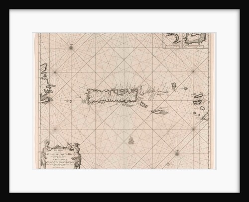
Sea chart of Puerto Rico
Johannes van Keulen I
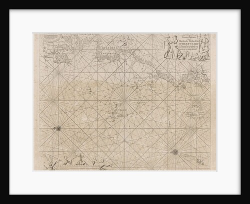
Sea chart of the Atlantic Ocean to the west coast of Europe and parts of Africa
unknown
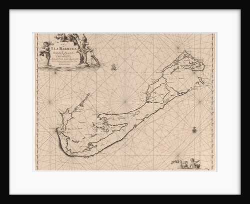
Sea chart of Bermuda
Johannes van Keulen I
Sea chart of a portion of the Baltic coast of Poland and Latvia
unknown
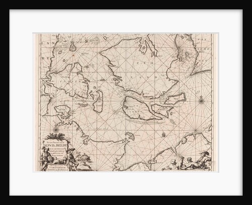
Sea chart of the Danish Islands, part of the coast of Sweden and Germany
Anonymous
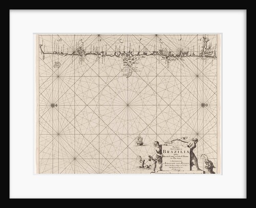
Sea map of part of the coast of Brazil
Johannes van Keulen I
1
2
3
…
28
Next »
Recently viewed
Clear history