☰ Menu
Images
Products
Log in
Basket:
0
items
Popular
Subjects
Artists
Collections
Art prints
Frames
Canvases
Postcards
Gift cards
Geographie posters & prints
Showing 1 to 36 of 1000
Search these images +
Earth from space - the Indian Ocean, c1980s
NASA
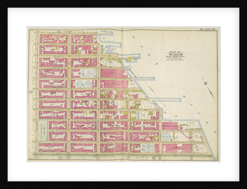
Map bounded by E. 2nd St., Avenue S, W. 6th St; Including Avenue P, Gravesend Ave., Avenue O., New York
Anonymous
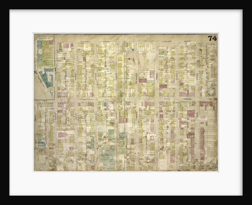
Atlas of the borough of the Bronx, city of New York, by and under the supervision of Hugo Ullitz
Anonymous
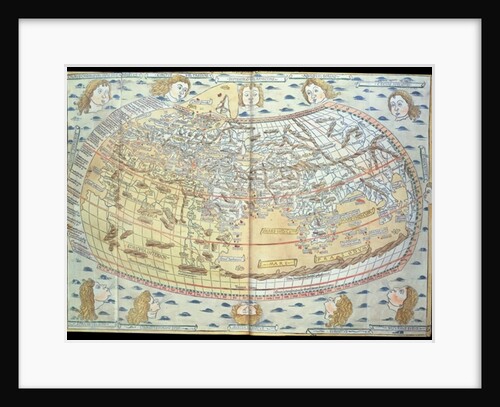
Map of the world, based on descriptions and co-ordinates given in 'Geographia', first published in Ulm, Germany
Ptolemy
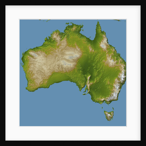
Topographic Imaged of the Australian Continent and Tasmania
Anonymous
Map bounded by Bayside Ave., Myrtle Ave., Mitchell Ave., Hildreth Pl., Broadway; Including Murray St., 13th St., 14th St., 15th...
Anonymous
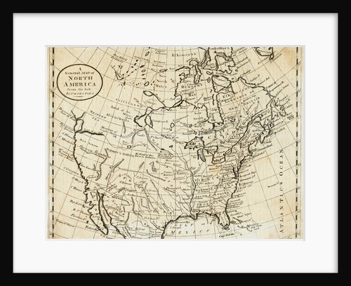
Map of North America
Anonymous
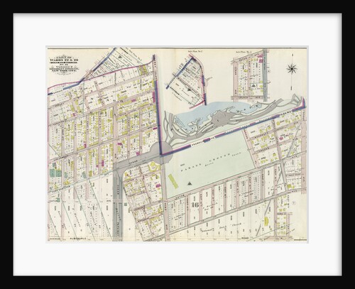
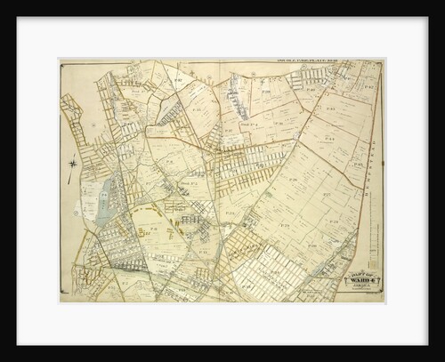
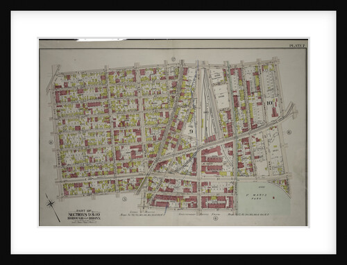
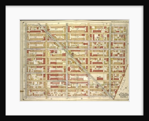
Part of Wards 22 & 29. Land Map Section, No. 16. Volume 2, Brooklyn Borough, New York City
Anonymous
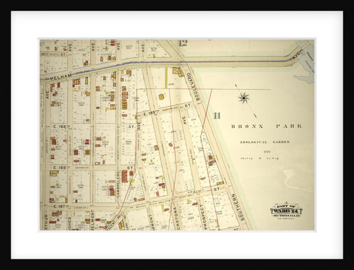
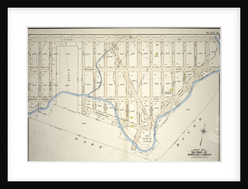
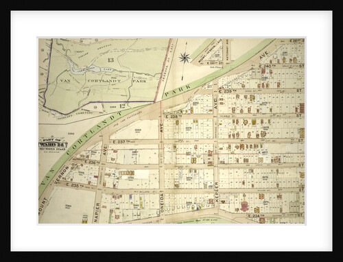
Part of Ward 24, Section 11. Bounded by Pelham Avenue Bronx Park, Southern Boulevard, E. 185th Street, Cambreleng Avenue, Crescent...
Anonymous
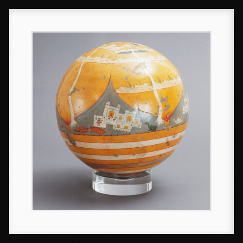
Terrestrial Globe. Orissa, India, 19th century
Unknown
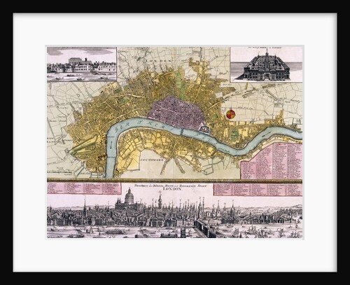
Map of the City of London
Anonymous
The Geography lesson, 1880
Eleuterio Pagliano
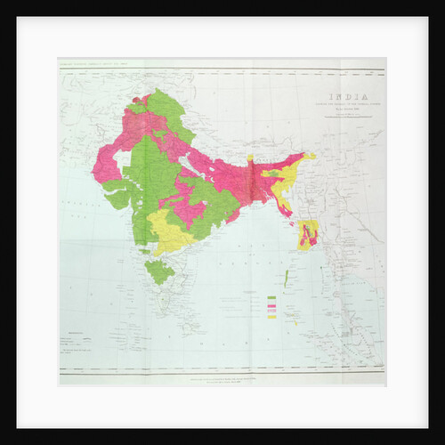
Map of India, showing the progress of the Imperial Surveys
English School
Map bounded by Bowery Road, Jackson Ave., Newtown PL., Hunter PL., 10th St., 9th St., 8th St., 7th St., 6th...
Anonymous
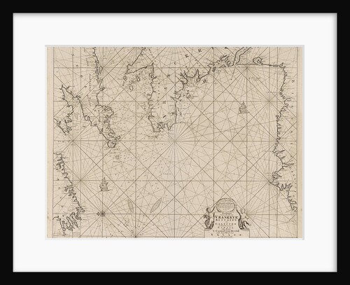
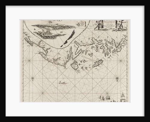
Sea chart of part of the coast of Ireland, England
France and Spain
Escuintla, Guatemala
Anonymous
Map of Alexandria
Joris Hoefnagel
Geographic Map of the Azores, 1587
Portuguese School
Map bounded by Dikeman St., Dwight St; Including Eire Basin, Upper Bay, New York
Anonymous
Borough of the Bronx. Bounded by Viele Avenue, Edgewater Road and Coster Street, New York
Anonymous
Map bounded by Manhattan Ave. Late Union Place, Commercial St., Oakland St., Greenpoint St., Franklin St., Clay St., Dupoint St;...
Anonymous
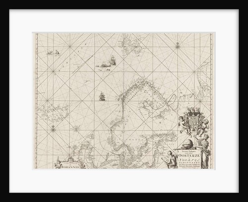
Sea chart of the Baltic and North Sea
Anonymous
Map bounded by South St., Country Road, Old Country Road, Jamaica Plank Road; Including Boundary Line Of City Of New...
Anonymous
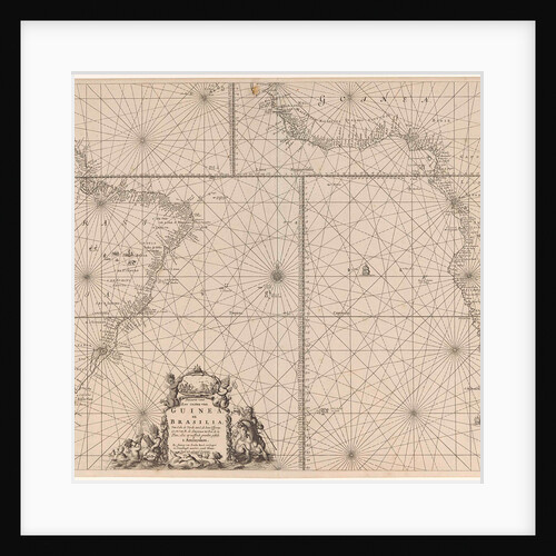
Sea chart of the southern part of the Atlantic coasts of Africa and Brazil
unknown
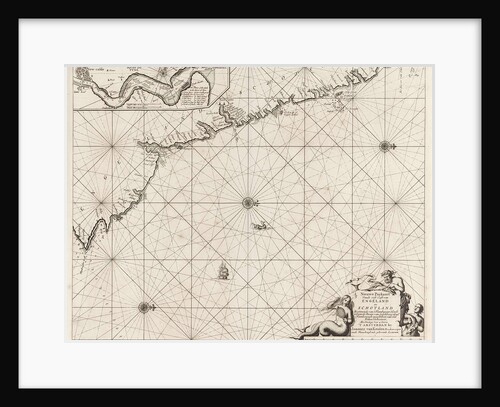
Sea chart of part of the northeast coast of England and part of Scotland
unknown
Sea chart of part of the coast of Finnmark
Anonymous
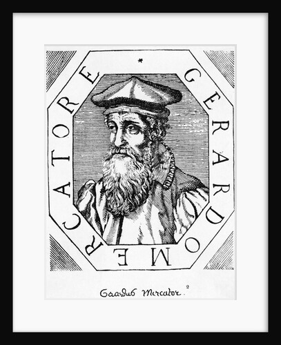
Flemish Geographer Gerhardus Mercator
Anonymous
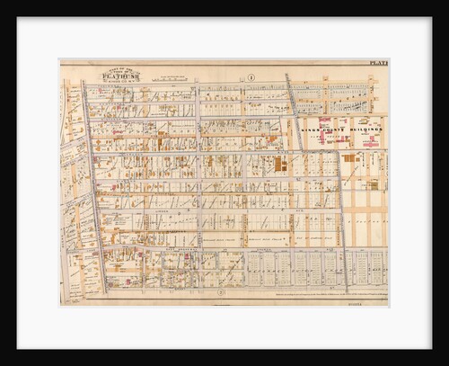
Bounded by Fenimore Street, Kingston Avenue, Winthrop Street, E. 39th Street, Linden Avenue, E. 40th Street, Grant Street, Flatbush Avenue,...
Anonymous
Borough of the Bronx. Bounded by E. 156th Street, Trinity Avenue, E. 149th Street, St Anns Avenue, E. 147th Street,...
Anonymous
Map bound by Atlantic Ave., Clinton St., Harrison St., East River; Including Pacific St., Amity St., Congress St., Verandan Pl.,...
Anonymous
View of London from the south
Hugue Picart
Map bounded by Kent Ave., Be Kalb Ave; Including Waverly Ave., Flushing Ave., New York
Anonymous
Map bounded by E. 25th St., East River, E. 14th St., 2nd Ave., New York
Anonymous
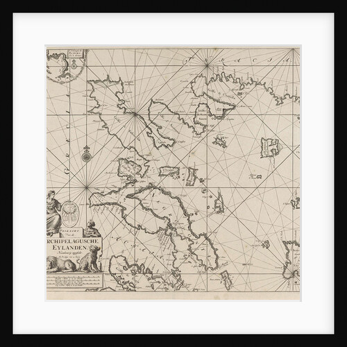
Sea chart of the western part of the Aegean part of the coast of Greece
Anonymous
Map bounded by Stanhope St., St.Nicholas Ave., Boundary Line Borough of Brooklyn and Queens; Including Palmetto St., Central Ave., New...
Anonymous
Atlas of the borough of the Bronx, city of New York, by and under the supervision of Hugo Ullitz
Anonymous
1
2
3
…
28
Next »
Recently viewed
Clear history