☰ Menu
Images
Products
Log in
Basket:
0
items
Popular
Subjects
Artists
Collections
Art prints
Frames
Canvases
Postcards
Gift cards
Jamaica plank road posters & prints
Showing 1 to 36 of 354
Search these images +
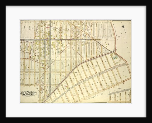
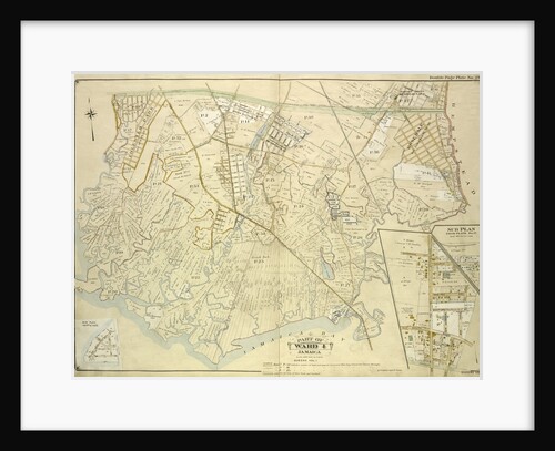
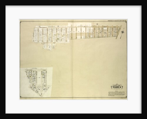
Map bounded by South St., Country Road, Old Country Road, Jamaica Plank Road; Including Boundary Line Of City Of New...
Anonymous
Map bounded by Jericho Turnpike, Hempstead and Jamaica Plank Road, First Ave., Queens Boulevard, 2nd Ave., 3rd Ave., 4th Ave.,...
Anonymous
Map bounded by Rockaway Plank road, Three Mile Mill Road, Old South Road; Including Smith St., Sidney St., Lewis St.,...
Anonymous
Map bounded by Merrick Road, Cumberland St., Carmen PL., Highview PL., Highview Ave., South St; Including Merrick Plank Road, Hobson...
Anonymous
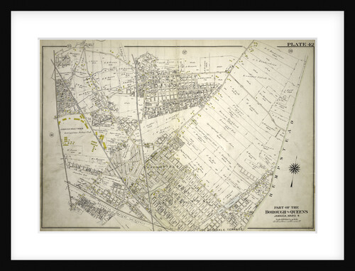
Bounded by Chichester Ave., Claremont Ave., Queens Blvd., Hempstead and Jamaica Plank Rd., W. Whittier St., Wertland Ave., Queens Court...
Anonymous
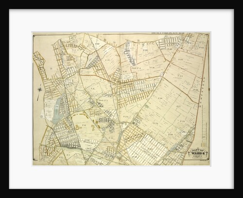
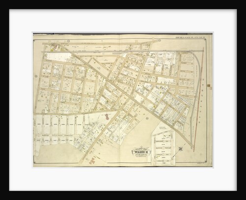
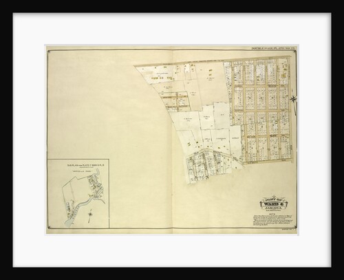
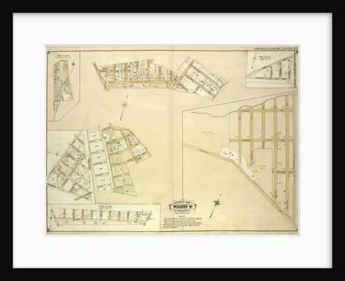
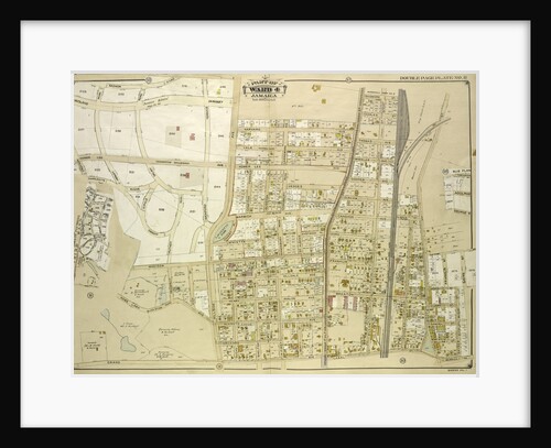
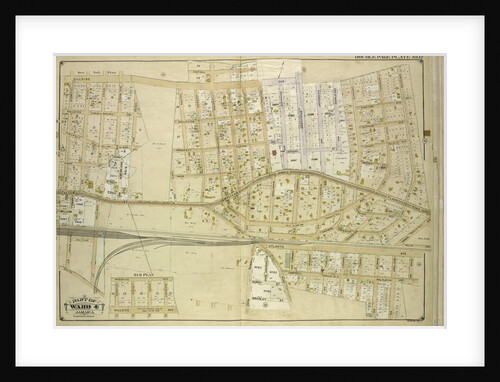
Jamaica
Anonymous
Map bounded by Borough of Brooklyn, Elderst Lane, Drew Ave., Center Ave., Snedeker Ave., Rockaway Plank Road, Dakota Ave., Shaw...
Anonymous
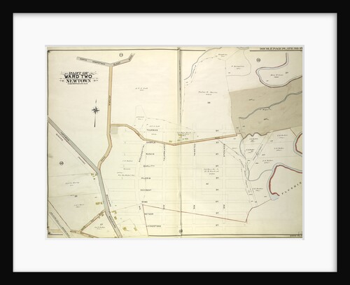
Map bounded by Newtown Road, Whitepot Road, Cottage Ave., New York
Anonymous
Bounded by New York and Rockaway Beach, Ocean Avenue, Freeland Avenue, Flushing Woodhaven Avenue, Sutter Avenue, Cedar Lane, Conduit, Ruby...
Anonymous
Map bounded by Flushing Creek, Old Town of Jamaica and Newtown, Boundary Line between Jamaica and Newtown, Dry Harbor Road,...
Anonymous
Map bounded by LibertyAve., Road to Landing, Whitelaw Ave., Arion St
Anonymous
Map bounded by Flushing Plank Road, Peartree Summit Ave., Meadow St., Apple St., Grand Ave. Roosevelt St., Lake St., Park...
Anonymous
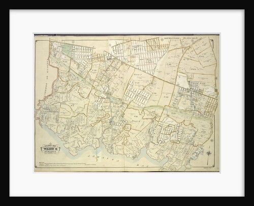
Bounded by Central Avenue, Springfield, Laurelton, Rosedale Terrace Springfield Road, Springfield Park, High View Park, Higbie Park, Higbie Avenue, Farmers...
Anonymous
Map bounded by Liberty Ave., Rockaway Turnpike, Mile Hill Road; Including Corn Fill Creek, Spring Creek, New York
Anonymous
Map bounded by Jamaica Ave., Old Bowery Bay Road, Woodside Ave., Middleburg Ave., Van Buren St., Lowery St; Including Bragaw...
Anonymous
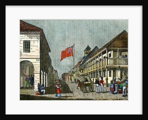
Junction of Harbour Street and King Street, Kingston, Jamaica
Anonymous
Map bounded by Grand Ave., Black Stump Road, Charlecote, Croydon Jamaica Estates Road, Edgerton Blvd., Doncaster Blvd., Henley Road, Midland...
Anonymous
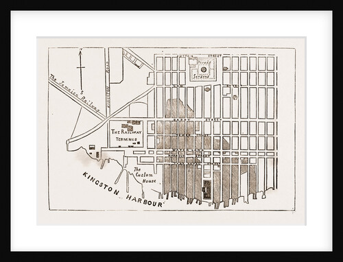
Plan Of Kingston, Jamaica
Anonymous
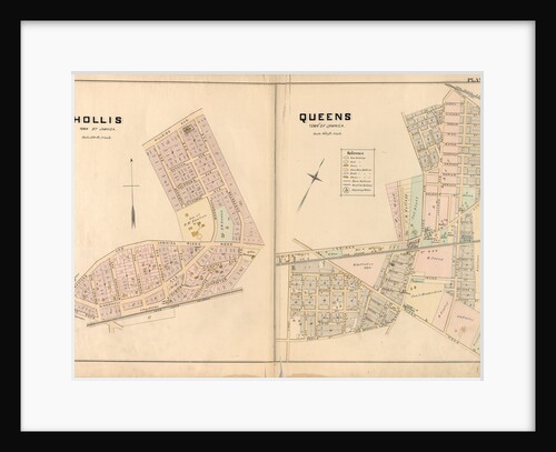
Hollis, Town of Jamaica. - Queens, Town of Jamaica, New York
Anonymous
Map bounded by north Hempstead Plank Road, Livingstone St; Including Hoffman Boulevard, White Pot Road, Astoria Road, New York
Anonymous
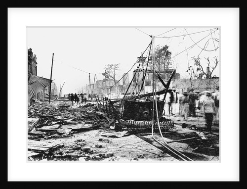
Earthquake damage and a burnt car, King Street, Kingston, Jamaica
Anonymous
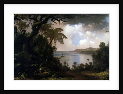
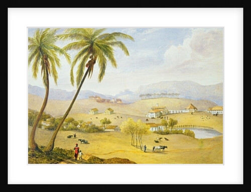
Jamaica, View from Fern-Tree Walk, 1887
Martin Johnson Heade
Map bounded by Pueblo Ave., Mc. Laughlin, Flushing Road, Boulevard, Epsom Course, Palermo Ave., Santiago Ave., Cato Ave., Palo Alto,...
Anonymous
Map bounded by Atlantic Ave., Jefferson Ave., Briggs Ave., Johnson Ave., Lefferts Ave., Chichester Ave., Broadway, Belmont Ave., Liberty Ave.,...
Anonymous
Map bounded by Foothill Ave., Hillside Ave., Columbus Ave., Lincoln Ave., Grant Ave., Max Weber Ave., Cozine Ave., Belleview Ave.,...
Anonymous
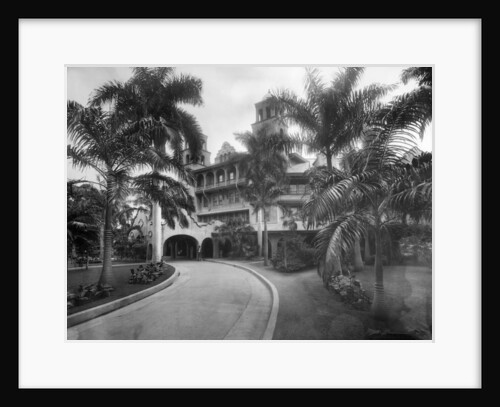
Myrtle Bank Hotel, Kingston, Jamaica
Anonymous
Haughton Court, Hanover, Jamaica, c.1820
James Hakewill
Map bounded by Conduit Long Island R.R., Boundary Line Of The City of New York; Including Hook Canal Creek, Jamaica...
Anonymous
Map bounded by Metropolis Ave., Mill St., Vansicklen Ave., Sutter Ave., Chestnut St; Including Metropolis Ave., Grant Ave., Rockaway Plank...
Anonymous
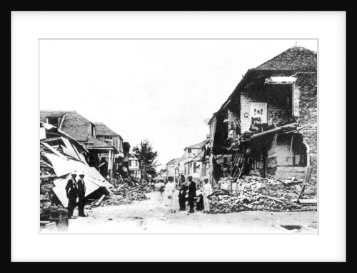
Earthquake damage, Duke Street, Kingston, Jamaica
Anonymous
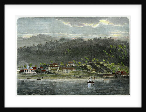
The town of Morant, Morant Bay, Jamaica
Anonymous
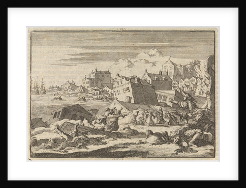
Earthquake in Jamaica where the city Port Royal is destroyed, 1615
Pieter van der Aa I
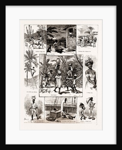
Life In Jamaica, 1886
Anonymous
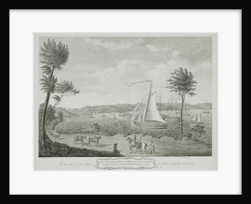
A View of the Town and Harbour of Montego Bay, in the Parish of St. James, Jamaica, taken from the...
English School
Hazeldean Kingston Jamaica 1891
Anonymous
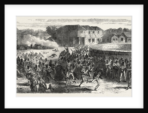
The Riots in Jamaica: Dispersing a Mob, 1865
Anonymous
1
2
3
…
10
Next »
Recently viewed
Clear history