☰ Menu
Images
Products
Log in
Basket:
0
items
Popular
Subjects
Artists
Collections
Art prints
Frames
Canvases
Postcards
Gift cards
Long island posters & prints
Showing 1 to 36 of 318
Search these images +
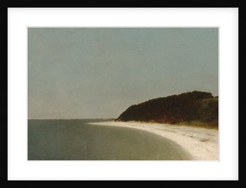
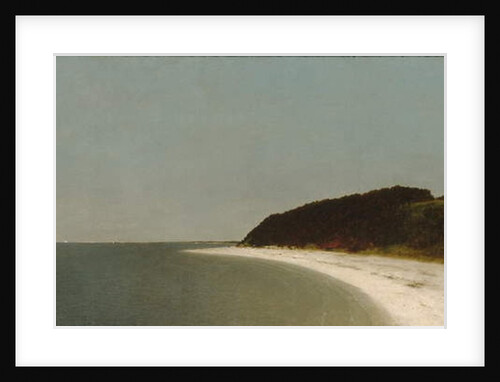
Eaton's Neck, Long Island, 1872
John Frederick Kensett
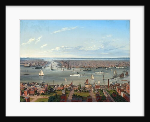
New York seen from Long Island, 1854
Anonymous
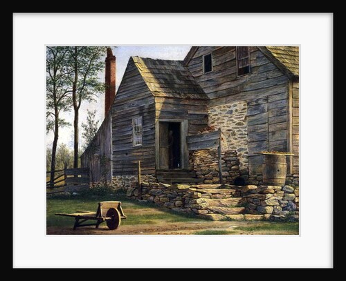
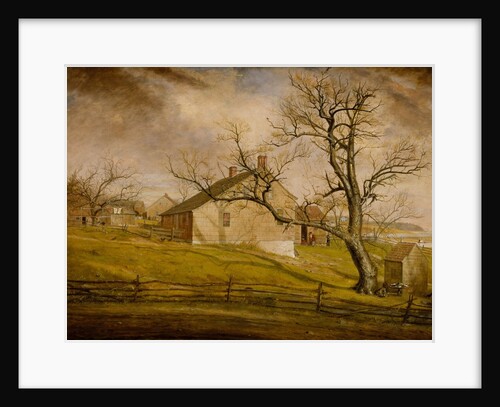
A Long Island Homestead
William M Davis
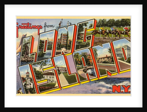
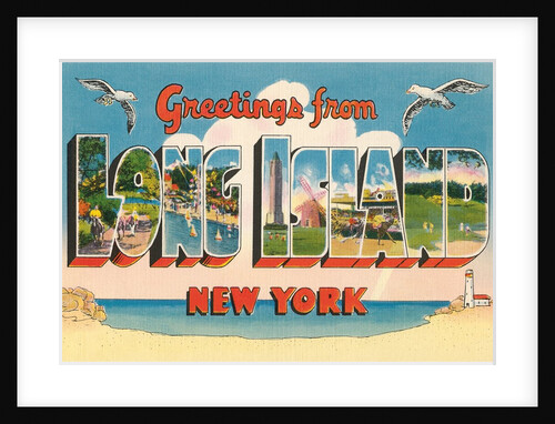
Greetings from Long Island, New York
Anonymous
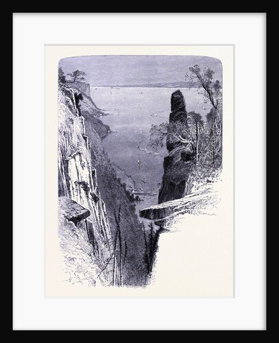
The Eastern Part of Long Island the Palisades
Anonymous
Long Island Farmhouses, 1862-63
William Sidney Mount
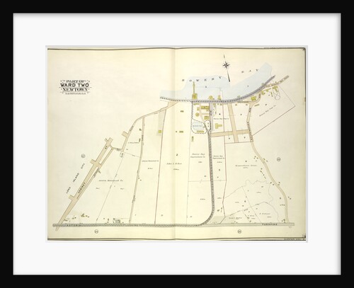
Map bounded by Long Island City, Cabinet St., Bowery Bay Road, Shore Road; Including Old Bowery Bay Road, Kouvenhoven Ave.,...
Anonymous
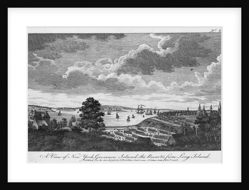
A View of New York, Governors Island, the River from Long Island
Anonymous
Map bounded by Harold Ave., Middleburg Ave; Including Bragaw St., Lowery St., Van Buren St., Van Pelt St; Part of...
Anonymous
Long Island Farmhouses, 1862-63
William Sidney Mount
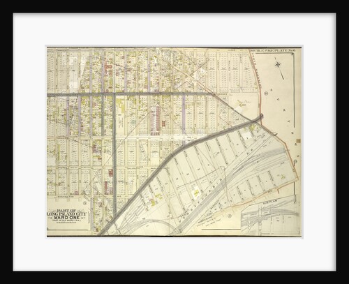
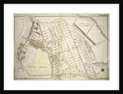
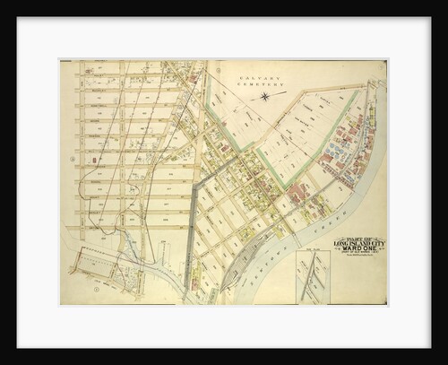
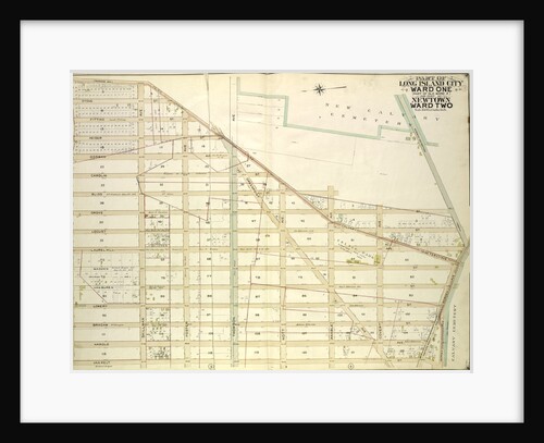
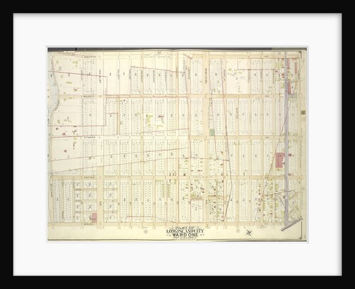
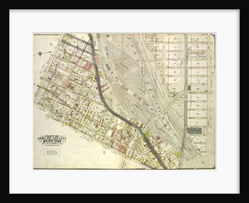
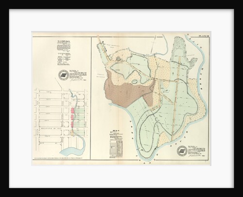
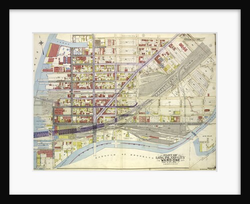
Part of the Borough of Queens, Long Island City, Ward 1, New York
Anonymous
Greetings from Long Island, New York
Anonymous
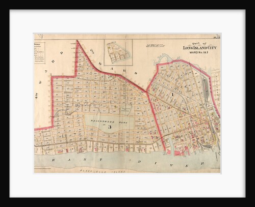
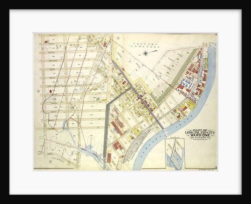
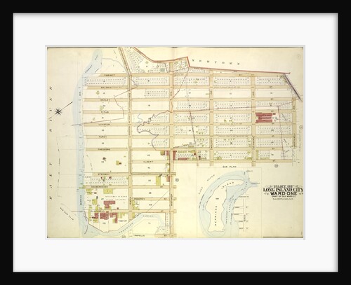
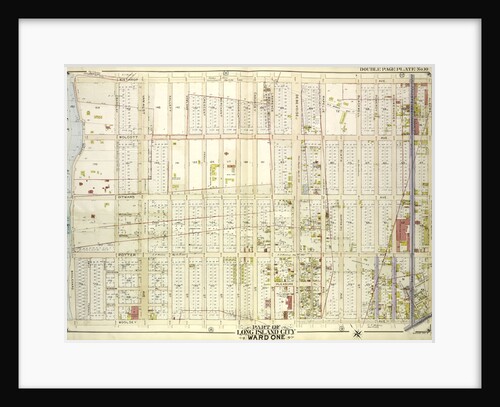
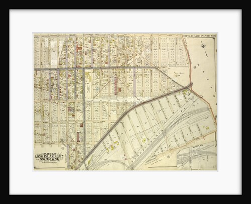
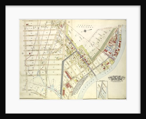
Part of Long Island City, Ward No. 1 & 3, New York
Anonymous
Map bounded by Van Pelt St., Greenpoint Ave., Hunters Point Ave., Borden Ave., Bradlay Ave; Including Newtown Creek, Water St.,...
Anonymous
Long Island Seen From Orbit
Anonymous
Junction of Parkways on Long Island
Anonymous
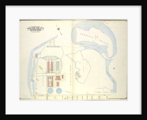
Map bounded by Water St., Marsh St., Proposed Canal; Part of Long Island City Ward One Part of Old Wards...
Anonymous
A Fishing Party Off Long Island, 1860
Junius Brutus Stearns
Map bounded by Winthrop Ave., Van Alst Ave., Debevoise Ave., Rapelje Ave; Including Boulevard, Barclay St., Hallet St., Howland St.,...
Anonymous
Map bounded by Woodside Ave., Celtic Ave. Highway to Calvary Cemetery, Hunters Point Ave; Including Borden Ave., New York
Anonymous
Map bounded by Old Bowery Bay Road, Flushing Ave., Potter Ave
Anonymous
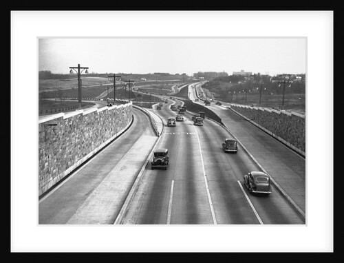
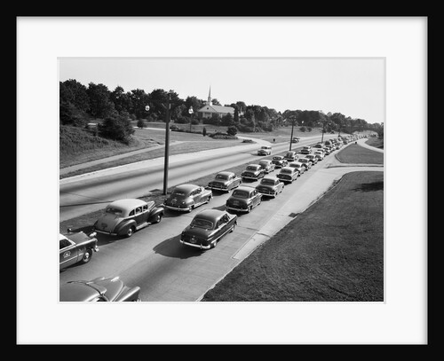
Traffic on a Long Island Parkway
Anonymous
Map bounded by Winthrop Ave
Anonymous
Eaton's Neck, Long Island, 1872
John Frederick Kensett
Map bounded by Boulevard, Winthrop Ave., Wolcott Ave., Ditmars Ave., Potter Ave., Woolsey Ave., Flushing Ave., Nassau Ave., Frankfort Ave.,...
Anonymous
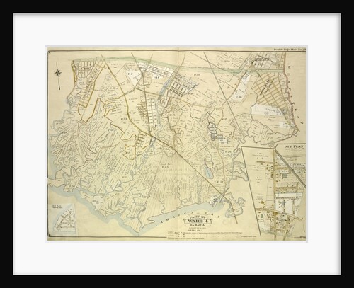
Map bounded by Conduit Long Island R.R., Boundary Line Of The City of New York; Including Hook Canal Creek, Jamaica...
Anonymous
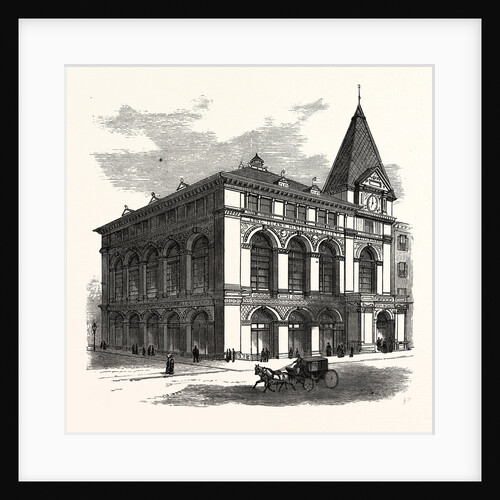
New Building of the Long Island Historical Society at Brooklyn to Be Opened January 4th
Anonymous
Map bounded by Washington Ave., Webster Ave., Freeman Ave., Rapelje Ave., Beebe Ave., Payntar Ave., Wilbur Ave., Hunter Ave., Jackson...
Anonymous
Map bounded by Middleburg Ave., Woodside Ave., Celtic Highway to Calvary Cemetery Ave., Bushwick and Newtown Turnpike, New York
Anonymous
Map bounded by Jamaica Ave., North Wood Side, Middleburg Ave., Laurel Hill Ave., Madden St., Van Buren St., Lowery St.,...
Anonymous
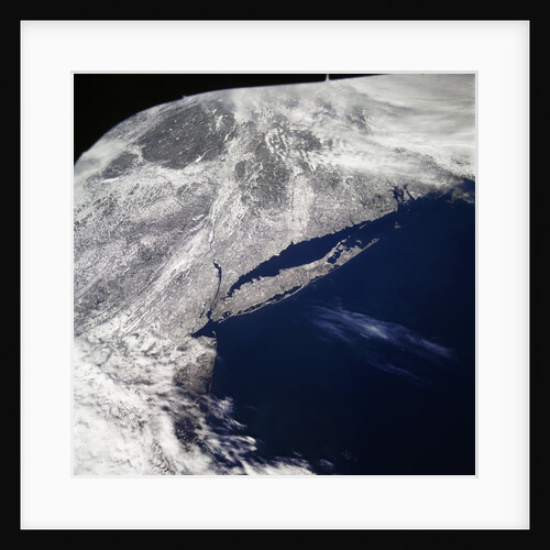
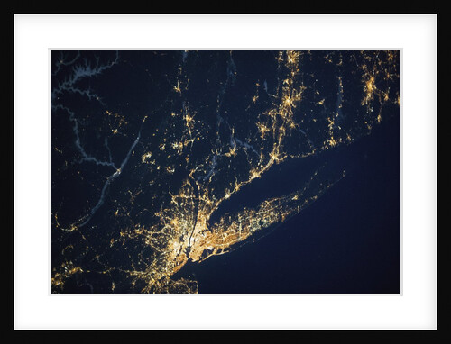
New York City and Long Island seen from the International Space Station
Anonymous
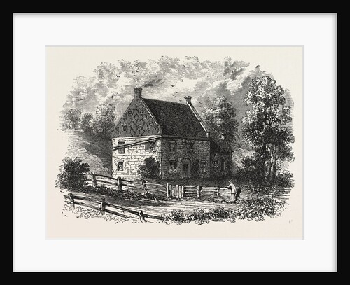
Old Dutch House, Long Island, New York
Anonymous
Bounded by Hunt Point Road North Place, Bronx River and Long Island Sound, New York
Anonymous
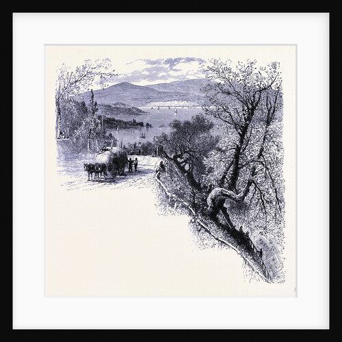
The Eastern Part of Long Island Seen from Peekskill
Anonymous
Map bounded by Van Pelt St., Greenpoint Ave., Hunters Point Ave., Borden Ave., Howard St., Spring St., Preston St; Including...
Anonymous
Map bounded by Pier St., River St., Front St., Newtown Creek; Part of Long Island City Ward One Part of...
Anonymous
1
2
3
…
9
Next »
Recently viewed
Clear history