☰ Menu
Images
Products
Log in
Basket:
0
items
Popular
Subjects
Artists
Collections
Art prints
Frames
Canvases
Postcards
Gift cards
Navigation map posters & prints
Showing 1 to 36 of 1000
Search these images +
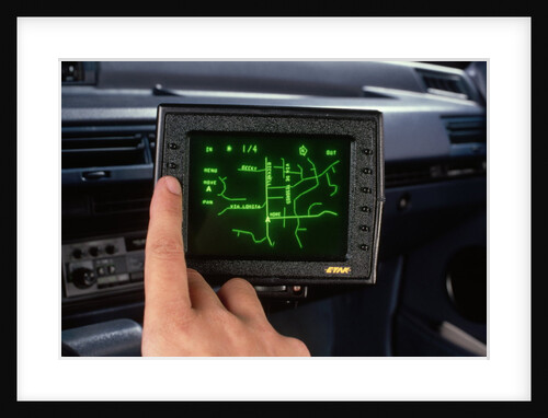
Etak Electronic Navigation System
Anonymous
Map bounded by Atlantic Ave., Napier Ave., Ocean Ave., Hopkinton Ave., Woodhaven Ave., Flushing Ave., Grafton Ave., Hatch Ave., Shattuck...
Anonymous
Map bound by Huron St., Oakland St., Calyer St., East River; Including India St., Java St., Kent St., Green Point...
Anonymous
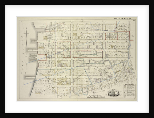
Map bounded by Bowery, Rivington Street, Ludlow Street, Canal Street; Including Chrystie Street, Forsyth Street, Eldridge Street, Allen Street, Orchard...
Anonymous
Map of Anglesey
Anonymous
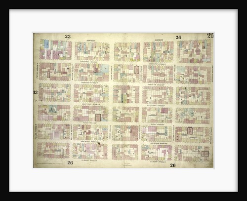
Map bounded by Elm Street, Canal Street, Mott Street, Park Street, Mulberry Street, Chatham Street, Pearl Street; Including Centre Street,...
Anonymous
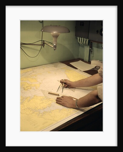
1960s Male Hands Using Nautical Navigation Tools Compass Map Chart Charting A Course
Anonymous
Ferdinand Magellan (c1480-c1521), Portugese navigator
Unknown
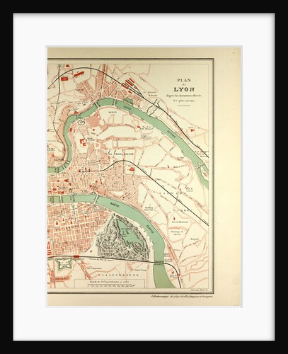
Map of Lyon
Anonymous
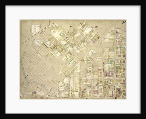
Map bounded by Atlantic Ave., Rockaway Ave., East New York Ave; IncludingSt. Johns PL. Douglass St., Ralph Ave., New York
Anonymous
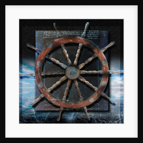
World Map and Ship's Wheel
Anonymous
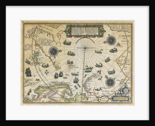
Map of Willem Barentsz Third Voyage, 1598
Cornelis Claesz
The Aire and Calder Navigation, Leeds, Yorkshire, 1828
J Shury
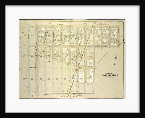
Map bounded by Borough of Brooklyn, Elderst Lane, Drew Ave., Center Ave., Snedeker Ave., Rockaway Plank Road, Dakota Ave., Shaw...
Anonymous
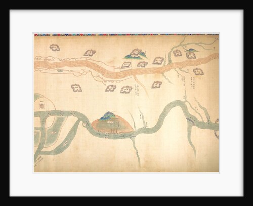
Map of the Grand Canal from Beijing to the Yangzi River, late 18th or early 19th century
Unknown
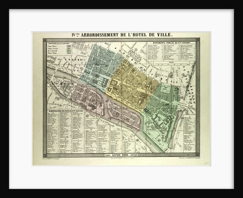
Map of the 4th Arrondissement De L'Hôtel De Ville Paris France
Anonymous
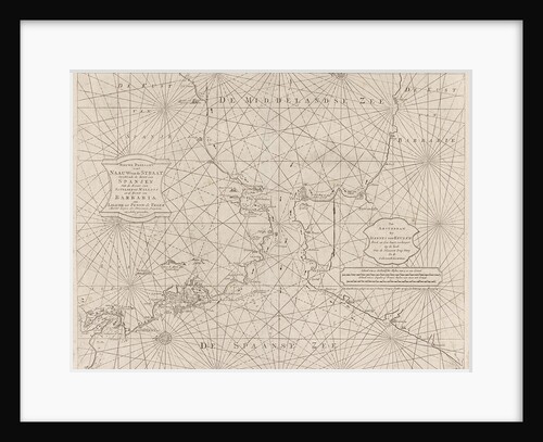
Sea chart of the Strait of Gibraltar
Johannes van Keulen II
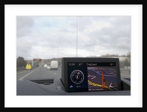
Satellite navigation system in Alfa Romeo Giulietta 2011
Unknown
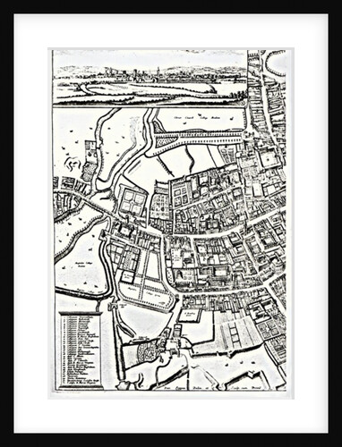
Loggan's map of Oxford, Eastern Sheet
David Loggan
North Pole total ozone maps with meteorological chart, March 1979
NASA
Map of the River Thames from London Bridge to Woolwich
Anonymous
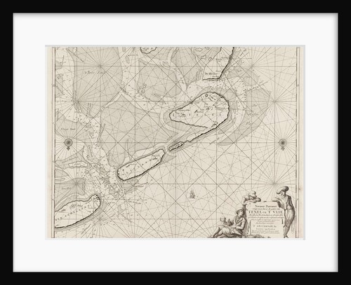
Sea chart of the Wadden Sea from Den Helder to Terschelling
Anonymous
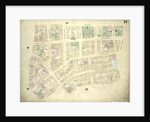
Map bounded by Leonard St., Orchard St., 5th St., Loniner St., Van Pelt St
Anonymous
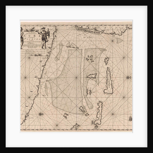
Sea chart of part of southeastern Florida and northeast of Cuba
Johannes van Keulen I
Egypt and the Red Sea
Calopodio da Candia
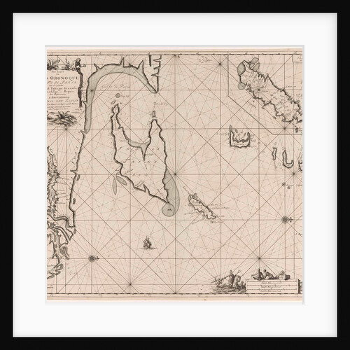
Sea chart of the Gulf of Paria to the mouth of the Orinoco river, Orinoquia, Venezuela
Johannes van Keulen I
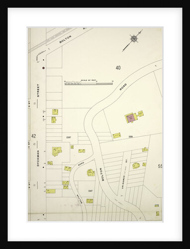
Map bounded by Bolton Rd., Prescott Ave., Dyckman St., New York
Anonymous
Sea chart of the Bristol Channel
Johannes van Keulen I
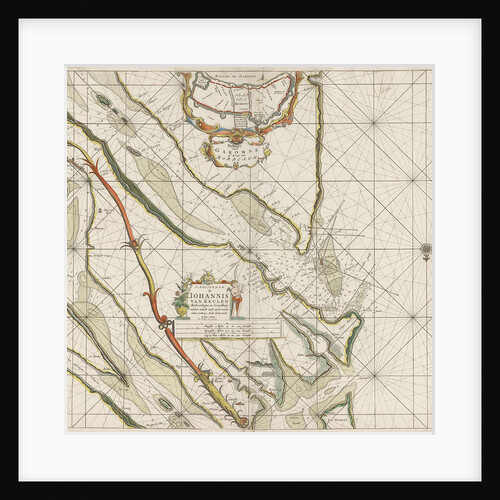
Sea chart of the Garonne, France
Anonymous
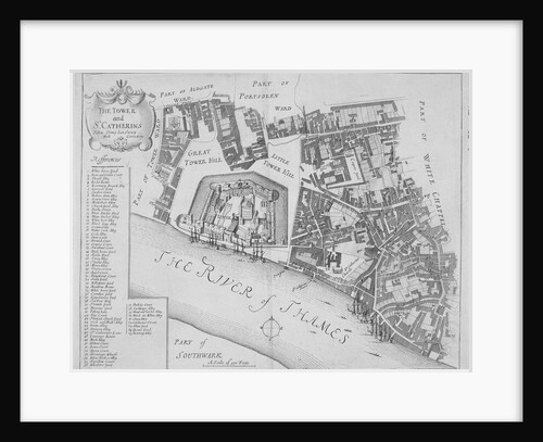
Map of the area around the Tower of London and St Katharine by the Tower, Stepney, London
Anonymous
Map bounded by Tilden Ave., Ralph Ave., Beverley Road Avenue B; Including E. 57th St., Avenue D, E. 48th St.,...
Anonymous
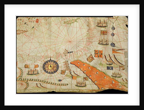
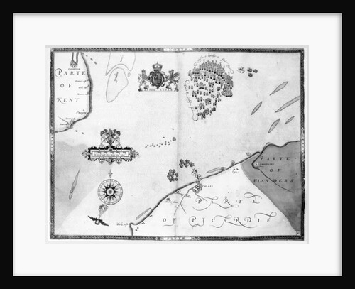
Map No.10 showing the route of the Armada fleet
Robert Adams
Map of St. Germain
Anonymous
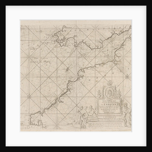
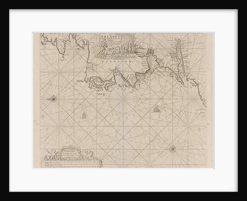
Sea chart of a portion of the west coast of Ireland
Johannes van Keulen I
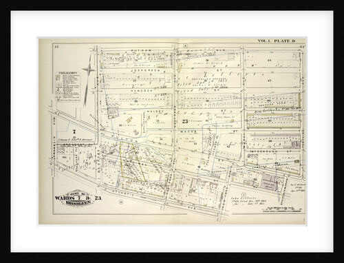
Map bounded by Putnam Ave., Tompkins Ave., Brooklyn Ave., New York Ave., Atlantic Ave., Franklin Ave., Brevoort Pl., Bedford Ave;...
Anonymous
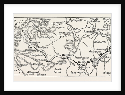
Map of the Course of the Coquet
Anonymous
1
2
3
…
28
Next »
Recently viewed
Clear history