☰ Menu
Images
Products
Log in
Basket:
0
items
Popular
Subjects
Artists
Collections
Art prints
Frames
Canvases
Postcards
Gift cards
Newtown ave posters & prints
Showing 1 to 36 of 821
Search these images +
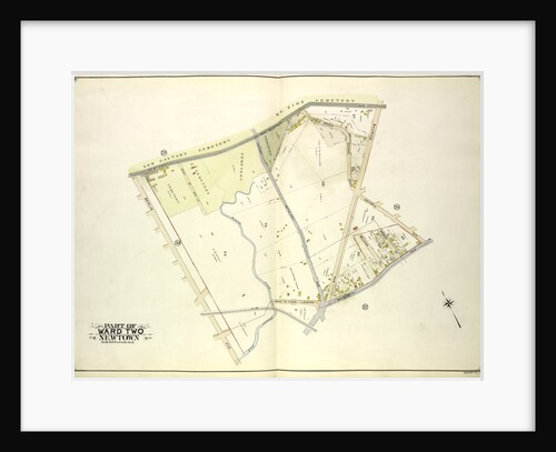
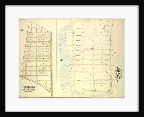
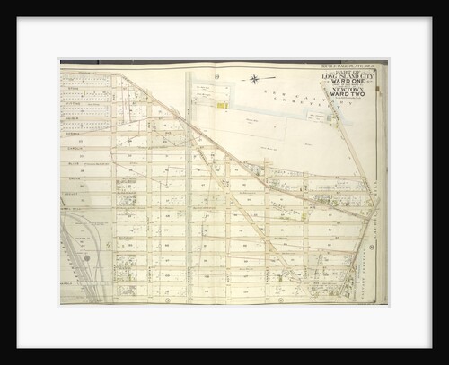
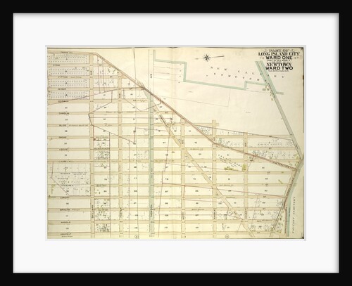
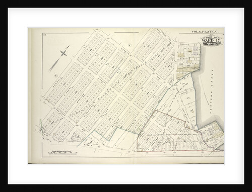
Map bounded by Newtown Ave., Covert Ave. Betts Ave., Old Brook School Road, Maurice Ave; Including Astoria Ave., Maspeth Ave.,...
Anonymous
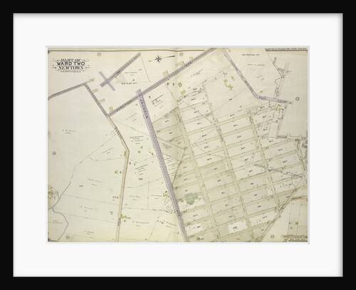
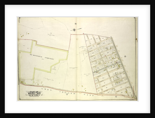
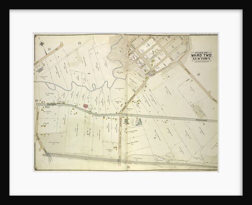
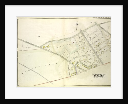
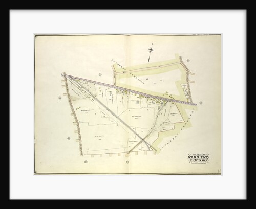
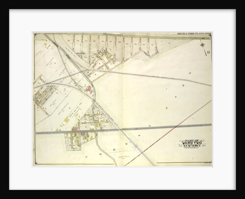
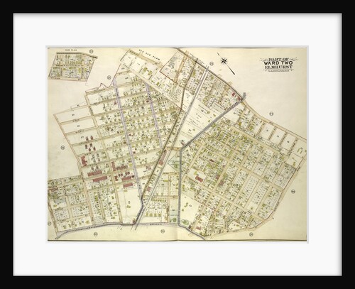
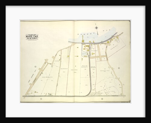
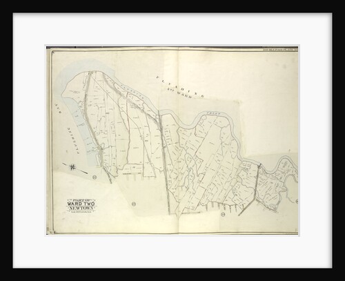
Map bounded by Flushing and Newtown Road; Including Junction Ave; Part of Ward Two Newtown; Old Bowery Road, Old Junction...
Anonymous
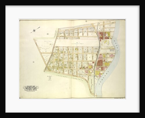
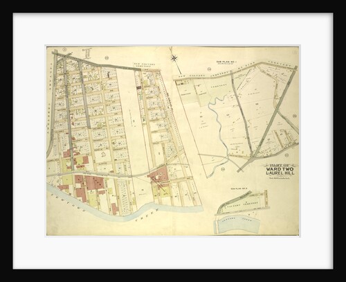
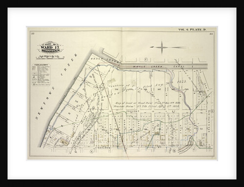
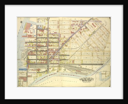
Map bounded by Berlin Ave., Newtown Creek, Laurel Hill Boulevard; Including Newtown Ave., Old Brook School Road, Newtown Turnpike, New...
Anonymous
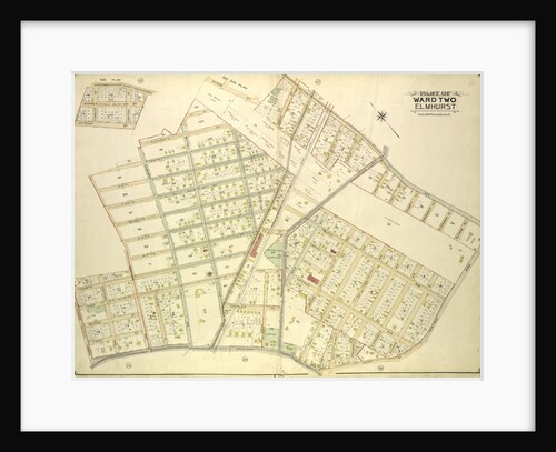
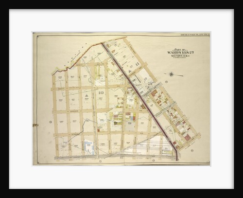
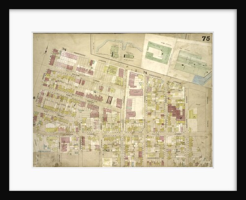
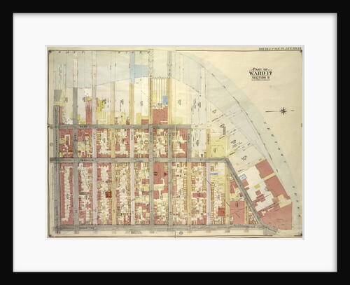
Map bounded by Division St., Junction Ave., Newtown Road, Court St., Broadway, Astoria and Flushing Turnpike, Orchard Ave; Including 12th...
Anonymous
Map bounded by Newtown Ave., Maurice Ave., Old., New York
Anonymous
Map bounded by Newtown Creek, Troutman St; Including Irving Ave., Varick Ave., Stagg St., New York
Anonymous
Map bounded by Hunter PL., Charlotte Ave., Newtown PL; Including Jackson Ave., Bowery Bay Road, Astoria and Flushing Turnpike, New...
Anonymous
Map bounded by Bowery Road, Jackson Ave., Newtown PL., Hunter PL., 10th St., 9th St., 8th St., 7th St., 6th...
Anonymous
Map bounded by Court St., Marlowe Ave., Romolus St., Otis Ave., Rehan PL; Including North Hempstead Plank Road, Astoria Road,...
Anonymous
Map bounded by Meeker Ave., Scott Ave., Newtown Creek, Newel St., Meserole Ave., Franklin St., Greenpoint Ave., Milton St., Noble...
Anonymous
Map bounded by Union Turnpike, Hoffman Boulevard, Lefferts Ave., Muller Ave; Including Augustin Ave, Newtown Road, Boundary line between Jamaica...
Anonymous
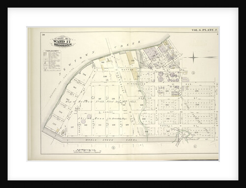
Map bounded by Newtown Creek, Vandam St; Including Norman Ave., Humboldt St., Whale Creek Canal, New York
Anonymous
Map bound by Newtown Creek, Charlick St., Bridgewater St., Meserole Ave., Kingsland Ave., Norman Ave., Humboldt St., Whale Creek Canal;...
Anonymous
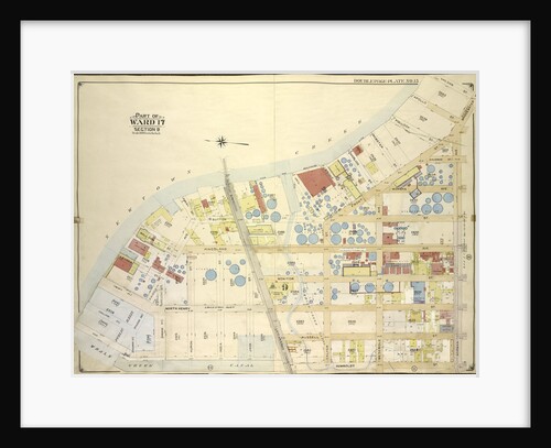
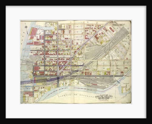
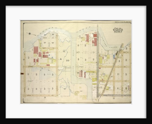
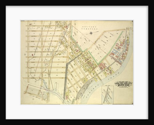
Map bounded by Divison St., Vernon Ave., 12th St., Ely Ave., Homson Ave., Jackson Ave., Nott Ave., Creek Ave., Dutch...
Anonymous
Map bounded by Orient Ave., Olive St., Maspeth Ave., Newtown Creek, Haussman St., Webster St., Jockson St., Wright St., Broom...
Anonymous
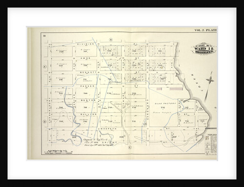
Map bound by Division Pl., Newtown Creek, Orient St., Vandervoort Ave; Including Amos St., Bennett St., Parker St., Benton St.,...
Anonymous
Map bound by Meeker Ave., Newtown Creek, Division Pl., Vandervoort Ave; Including Townsend St
Anonymous
Map bounded by East River, Newtown Creek; Including Manhattan Ave., Greenpoint Ave., New York
Anonymous
Map bounded by Mt. Olivet Ave., Way Ave., Juniper Ave; Including Metropolitan Ave., Fresh Pond Road, New York
Anonymous
Map bounded by Metropolitan Ave. Williams Burg Turnpike, Ward Boundary line between Newtown and Jamaica, Myrtle Ave., Trotting Course Lane,...
Anonymous
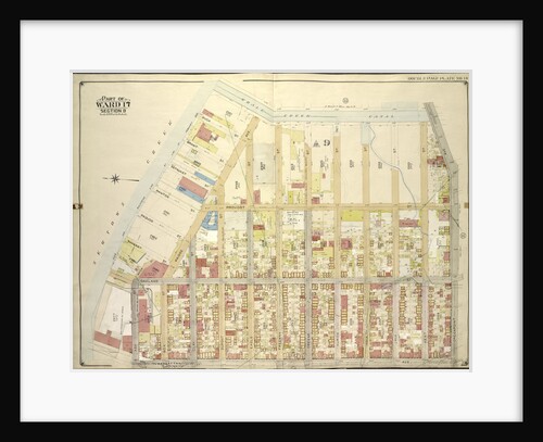
Map bounded by Woodside Ave., Broadway, Shell Road Newtown and Bushwick Turnpike, Thomson Ave., Maurice Ave., Manilla St; Including Calamus...
Anonymous
Map bound by Whale Creek Canal, Green Point Ave., Oakland St., Newtown Creek; Including Duck St., Brant St., Setauket St.,...
Anonymous
Map bounded by Roosevelt Ave., Division St., Junction Ave., Newtown Road, New York
Anonymous
Map bounded by Newtown Creek, Stagg St; Including Varick Ave., Grand St., Bennett St., New York
Anonymous
Map bounded by Whale Creek Canal, Greenpoint Ave; IncludingManhattan Ave., Ash St., Newtown Creek, New York
Anonymous
Map bounded by Van Pelt St., Greenpoint Ave., Hunters Point Ave., Borden Ave., Bradlay Ave; Including Newtown Creek, Water St.,...
Anonymous
Map bounded by Woodside Ave., Celtic Ave. Highway to Calvary Cemetery, Thomson Ave; Including Greenpoint Ave., Bushwick., New York
Anonymous
Map bounded by Long Island City, Cabinet St., Bowery Bay Road, Shore Road; Including Old Bowery Bay Road, Kouvenhoven Ave.,...
Anonymous
Map bounded by Woodside Ave., Celtic Ave. Highway to Calvary Cemetery, Hunters Point Ave; Including Borden Ave., New York
Anonymous
Map bounded by Division St., Vernon Ave., 12th St., Ely Ave., Jackson Ave., Thomson Ave., Nott Ave., Creek St., Dutch...
Anonymous
Map bound by Norman Ave. Kingsland Ave., Meserole Ave., Charlick St., Newtown Creek, Meeker Ave., Van Pelt Ave., N. Henry...
Anonymous
Map bounded by Flushing Bay, Flushing Creek, Mill Creek, Corona Hempstead Plank Road, Longview St., Fairview St., Home St., Orchard...
Anonymous
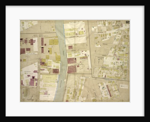
Map bounded by Norman Ave., Bridgewater St., Vandam St., Newtown Creek Including Stewart St., Lombardy St., Engert Ave. van Pelt...
Anonymous
Map bounded by Middleburg Ave., Woodside Ave., Celtic Highway to Calvary Cemetery Ave., Bushwick and Newtown Turnpike, New York
Anonymous
Map bounded by Meeker Ave., Newtown Creek, Bennett St; IncludingMorgan Ave., Lombardy St., Stewart Ave., New York
Anonymous
Map bounded by Bell St., Pink St., Blue St., Bay St., Maspeth Ave., East Williamsburgh, Newtown Creek, Franklyn St., Kent...
Anonymous
1
2
3
…
23
Next »
Recently viewed
Clear history