☰ Menu
Images
Products
Log in
Basket:
0
items
Popular
Subjects
Artists
Collections
Art prints
Frames
Canvases
Postcards
Gift cards
Part of ward 17 & 18 posters & prints
Showing 1 to 36 of 850
Search these images +
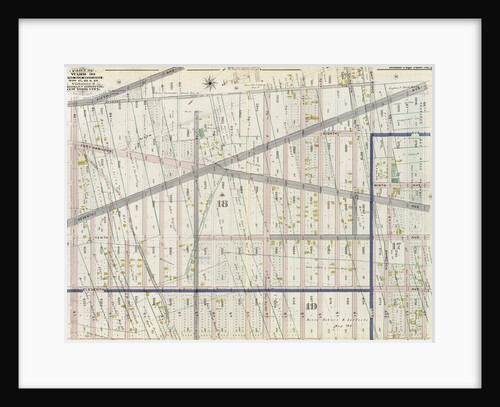
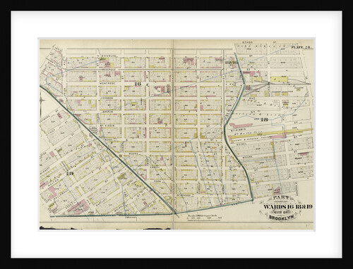
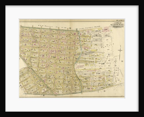
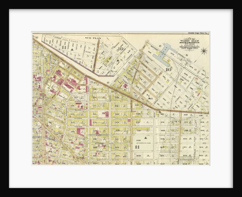
Part of Wards 15, 17 & 18. Brooklyn, N.Y
Anonymous
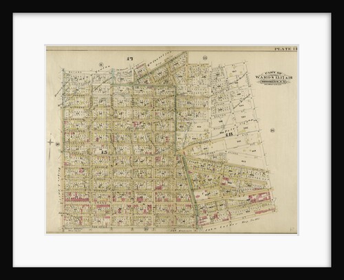
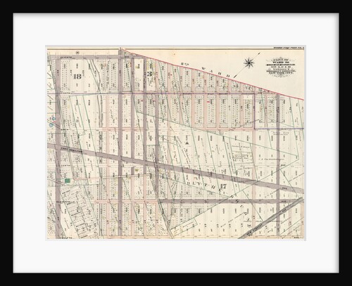
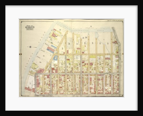
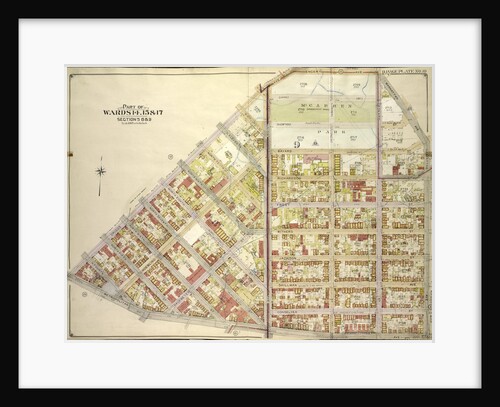
Part of Wards 17 & 18. City of Brooklyn, New York
Anonymous
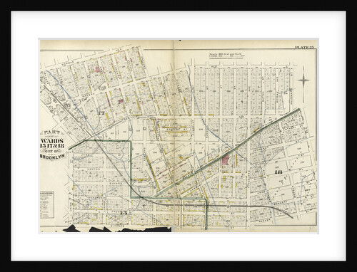
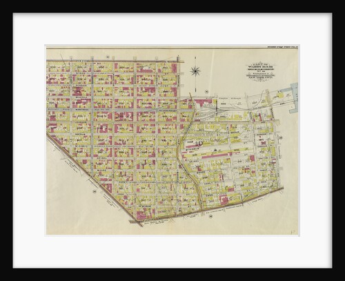
Part of Wards 15, 17, &18. City of Brooklyn, New York
Anonymous
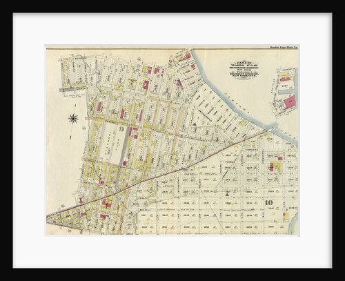
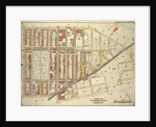
Part of Wards 17 & 18. Land Map Sections, No. 9 & 10, Volume 1, Brooklyn Borough, New York City
Anonymous
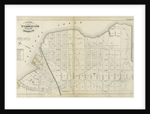
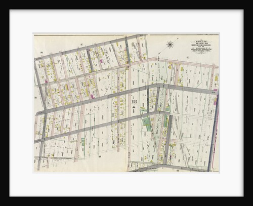
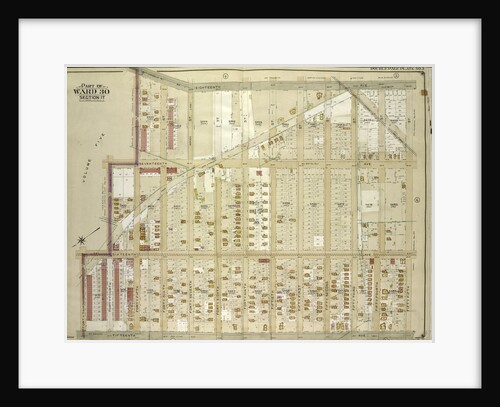
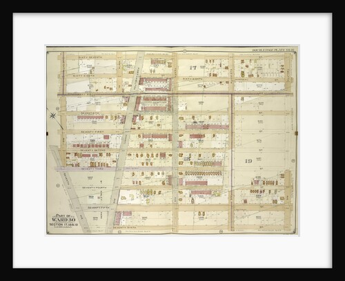
Part of Ward 30, Land Map Sections, Nos. 17, 18 & 19. Volume 2, Brooklyn Borough, New York City
Anonymous
Part of Ward 30, Land Map Sections, Nos. 3, 17 & 18, Volume 2, Brooklyn Borough, New York City
Anonymous
Map bounded by Norman Ave., Bridgewater St., Vandam St., Newtown Creek Including Stewart St., Lombardy St., Engert Ave. van Pelt...
Anonymous
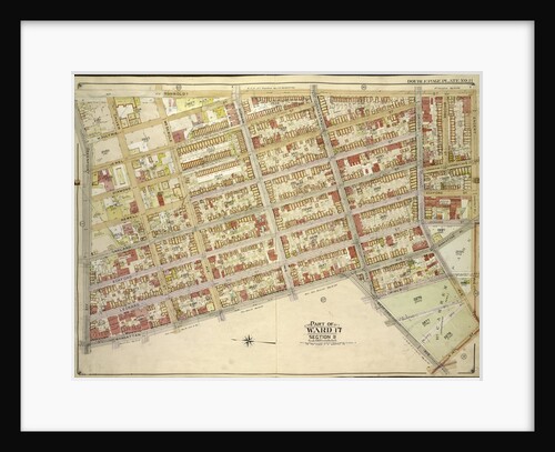
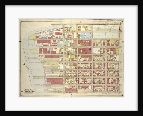
Part of Ward 17, New York City
Anonymous
Part of Wards 29 & 30, Land Map Sections, Nos. 3, 16 & 17, Volume 2, Brooklyn Borough, New York...
Anonymous
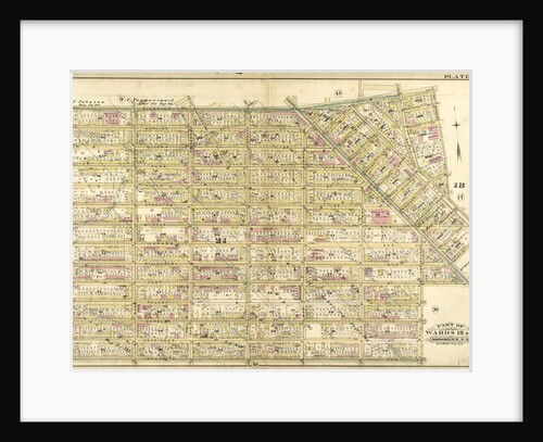
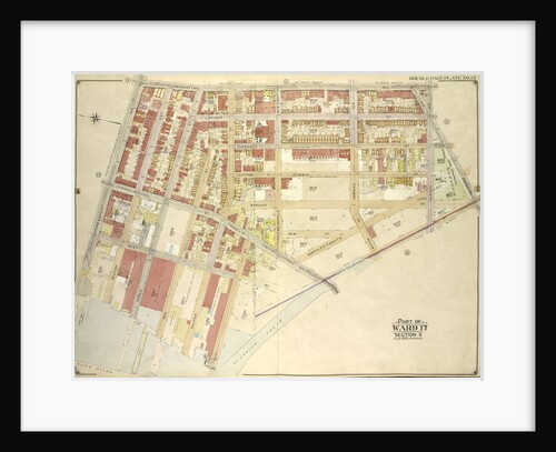
Part of Ward 17. City of Brooklyn, New York
Anonymous
Part of Ward 18. Brooklyn, N.Y
Anonymous
Map bounded by 62nd St., 22nd Ave; Including 70th St., 18th Ave., New York
Anonymous
Part of Wards 16, 18 & 19. City of Brooklyn, New York
Anonymous
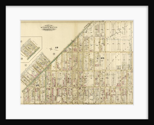
Part of Wards 18, 21 & 25. Brooklyn, N.Y
Anonymous
Part of Ward 30, Land Map Section, No. 18. Volume 2, Brooklyn Borough, New York City
Anonymous
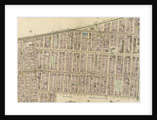
Map bounded by Humboldtdt St., Engert Ave., Bedford Ave; IncludingManhattan Ave., Greenpoint Ave., Calyer St., Meserole Ave., New York
Anonymous
Map bounded by Whale Creek Canal, Greenpoint Ave; IncludingManhattan Ave., Ash St., Newtown Creek, New York
Anonymous
Part of Wards 16, 18., & 19. Brooklyn, N.Y
Anonymous
Map bounded by 18th Ave., 55th St., 15th Ave; Including 43rd St., 16th Ave., 44th St., 45th St., New York
Anonymous
Part of Wards 18 & 21. Brooklyn, N.Y
Anonymous
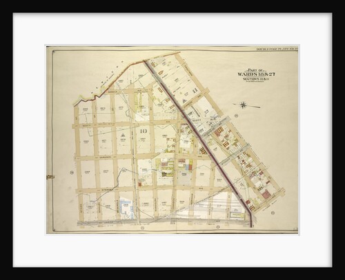
Part of Wards 18 & 27. Land Map Sections, Nos. 18 & 27. Volume 1, Brooklyn Borough, New York City
Anonymous
Map bounded by Engert Ave., Manhattan Ave., Metropolitan Ave; Including Driggs Ave., New York
Anonymous
Part of Wards 16 & 18. Land Map Section, No. 10, Volume 1, Brooklyn Borough, New York City
Anonymous
Map bounded by 67th St., 12th Ave., 76th St; Including 7th Ave., 8th Ave., New York
Anonymous
Map bounded by North Fourteenth St., Driggs Ave., North Fifth St., Including East River, Bushwick Greek, New York
Anonymous
Map bounded by Newtown Creek, Troutman St; Including Irving Ave., Varick Ave., Stagg St., New York
Anonymous
Map bounded by Manhattan Ave., Bedford Ave., North Fourteenth St; IncludingBushwick Creek, East River, Greenpoint Ave., New York
Anonymous
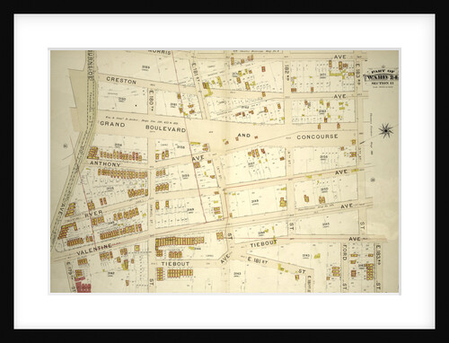
Part of Ward 24, Section 11. Bounded by Morris Avenue, E. 183rd Street, Webster Avenue, E. 179th Street, Valentine Avenue...
Anonymous
Map bounded by Hoyt Ave., Emily Terrace, Edward St., Barclay St., Vanalst Ave., Woolsey Ave., De Bevoise Ave. Bradford St.,...
Anonymous
Part of Ward 24, Sections 9&11. Bounded by Nelson Avenue, Featherbed Lane, E. 174th Street, Walton Avenue, Elliot Place, Jemorem...
Anonymous
Map bounded by East River, Newtown Creek; Including Manhattan Ave., Greenpoint Ave., New York
Anonymous
Map bounded by 8th Ave., 72nd St; Including 5th Ave., 60th St., New York
Anonymous
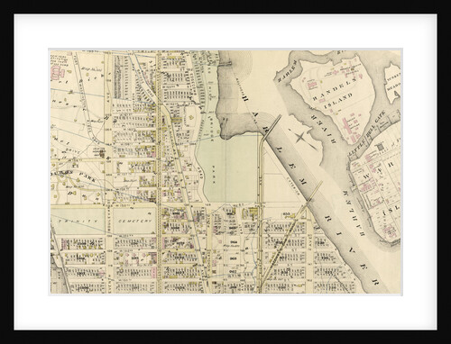
Part of Ward 12, New York City
Anonymous
Map bounded by 15th Ave., 42nd St., New Utrecht Ave., 12th Ave; Including 40th St., 13th Ave., 41st St., 42nd...
Anonymous
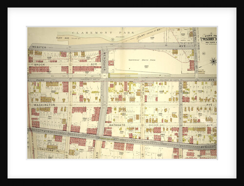
Part of Ward 24, Section 11. Bounded by Webster Avenue, 173rd Street, Park Avenue, E. 174th Street, Fulton Avenue and...
Anonymous
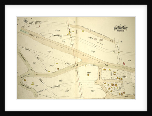
Part of Ward 24, Section 11. Bounded by Montgomery Avenue, E. 177th Street, Aqueduct Avenue, Grand Avenue, Harrison Avenue and...
Anonymous
1
2
3
…
24
Next »
Recently viewed
Clear history