☰ Menu
Images
Products
Log in
Basket:
0
items
Popular
Subjects
Artists
Collections
Art prints
Frames
Canvases
Postcards
Gift cards
Part of ward 17 city of brooklyn posters & prints
Showing 1 to 36 of 496
Search these images +
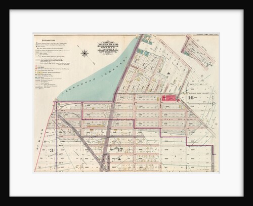
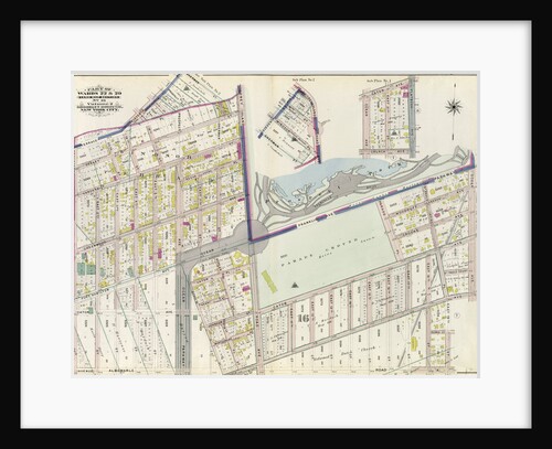
Part of Wards 29 & 30, Land Map Sections, Nos. 3, 16 & 17, Volume 2, Brooklyn Borough, New York...
Anonymous
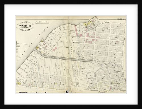
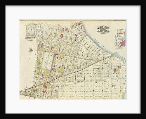
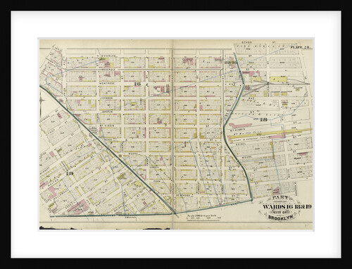
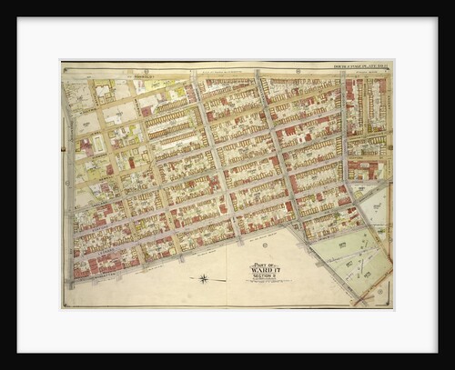
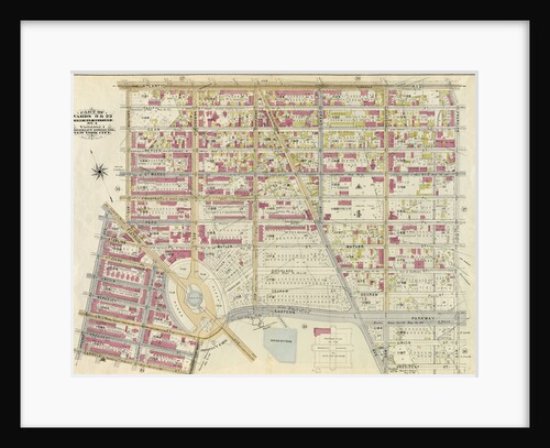
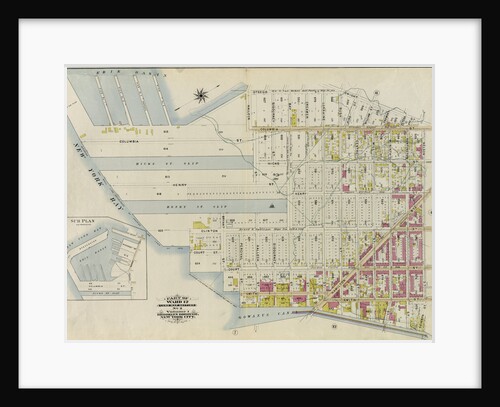
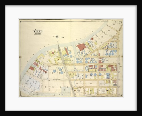
Part of Ward 17. City of Brooklyn, New York
Anonymous
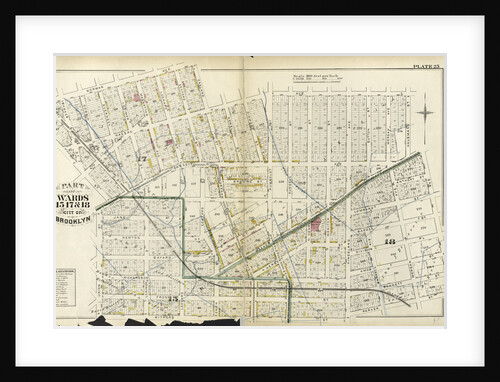
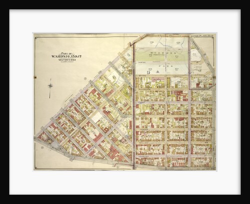
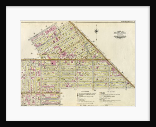
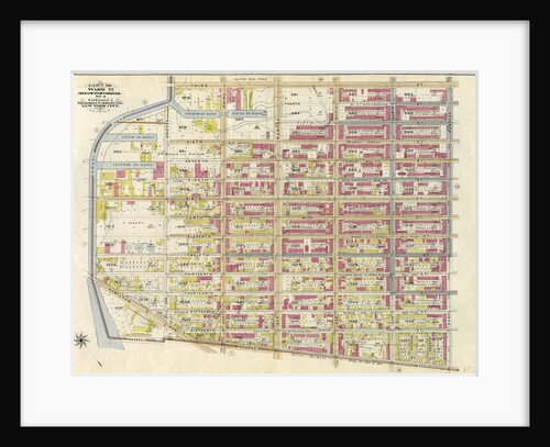
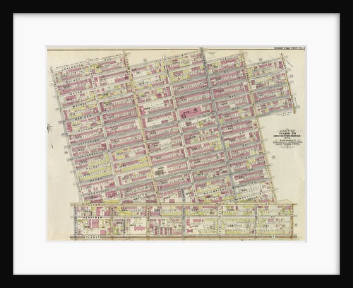
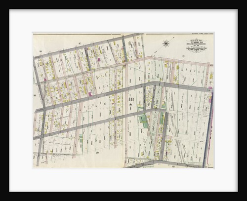
Part of Wards 15, 17, &18. City of Brooklyn, New York
Anonymous
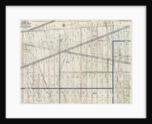
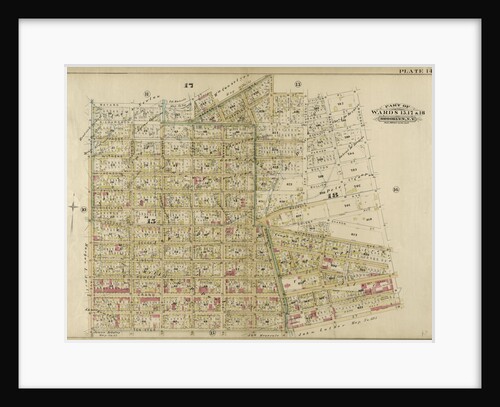
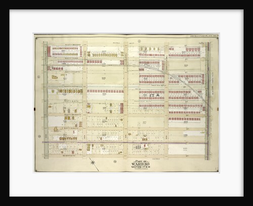
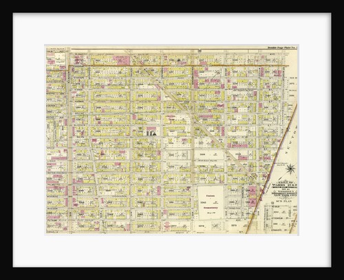
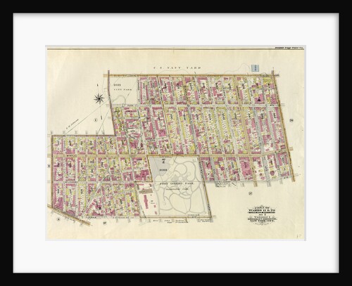
Part of Wards 17 & 18. City of Brooklyn, New York
Anonymous
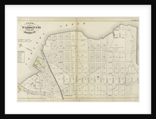
Part of Wards 17 & 18. Land Map Sections, No. 9 & 10, Volume 1, Brooklyn Borough, New York City
Anonymous
Part of Ward 30, Land Map Sections, Nos. 17, 18 & 19. Volume 2, Brooklyn Borough, New York City
Anonymous
Map bounded by 18th Ave., 67th St; Including 15th Ave., 55th St., New York
Anonymous
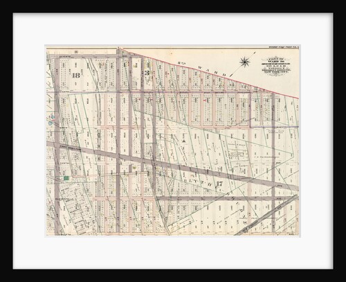
Part of Ward 17, New York City
Anonymous
Part of Ward 30, Land Map Sections, Nos. 3, 17 & 18, Volume 2, Brooklyn Borough, New York City
Anonymous
Map bounded by Engert Ave., Manhattan Ave., Metropolitan Ave; Including Driggs Ave., New York
Anonymous
Part of Wards 15, 17 & 18. Brooklyn, N.Y
Anonymous
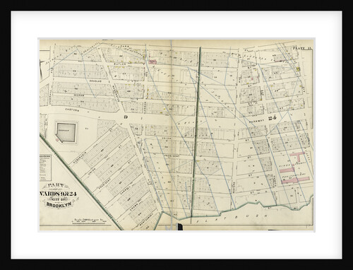
Part of Wards 9 & 24. City of Brooklyn, New York
Anonymous
Part of Wards 16, 18 & 19. City of Brooklyn, New York
Anonymous
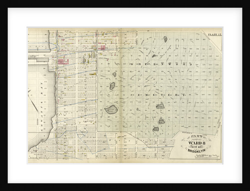
Part of Ward 8 City of Brooklyn, New York
Anonymous
Map bounded by 15th Ave., 42nd St., New Utrecht Ave., 12th Ave; Including 40th St., 13th Ave., 41st St., 42nd...
Anonymous
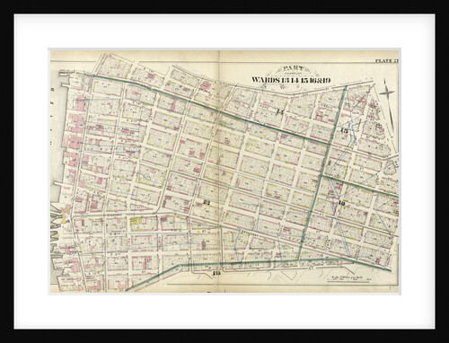
Part of Wards 13, 14, 15, 16 & 19 City of Brooklyn, New York
Anonymous
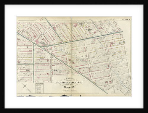
Part of Wards 3, 9, 10, 11, 20 & 22. City of Brooklyn, New York
Anonymous
Part of Wards 19 & 21. Land Map Sections, No. 6 & 8, Volume 1, Brooklyn Borough, New York City
Anonymous
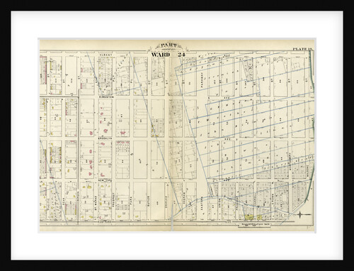
Part of Ward 24. City of Brooklyn, New York
Anonymous
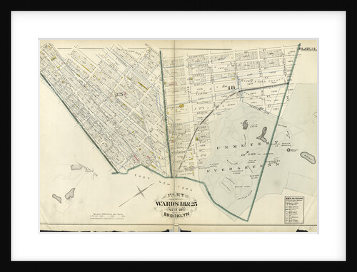
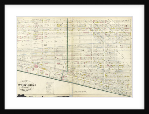
Part of Wards 23 & 25. City of Brooklyn, New York
Anonymous
Map bounded by Humboldtdt St., Engert Ave., Bedford Ave; IncludingManhattan Ave., Greenpoint Ave., Calyer St., Meserole Ave., New York
Anonymous
Part of Wards 22 & 29. Land Map Section, No. 16. Volume 2, Brooklyn Borough, New York City
Anonymous
Part of Wards 9, 22 . Land Map Section, No. 4, Volume 1, Brooklyn Borough, New York City
Anonymous
Part of Ward 22. Land Map Section, No. 4, Volume 1, Brooklyn Borough, New York City
Anonymous
Map bounded by 62nd St., 22nd Ave; Including 70th St., 18th Ave., New York
Anonymous
Part of Ward 12. Land Map Section, No. 2, Volume 1, Brooklyn Borough, New York City
Anonymous
Part of Ward 23. Land Map Section, No. 6, Volume 1, Brooklyn Borough, New York City
Anonymous
Part of Wards 27 & 28. Land Map Section, No. 11, Volume 1, Brooklyn Borough, New York City
Anonymous
Part of Wards 23 & 25. City of Brooklyn, New York
Anonymous
Part of Ward 29. Land Map Sections, Nos. 15, & 16. Volume 2, Brooklyn Borough, New York City
Anonymous
Part of Wards 7, 20, 21& 23. City of Brooklyn, New York
Anonymous
Part of Wards 6,10 & 12. Land Map Section, No. 2, Volume 1, Brooklyn Borough, New York City
Anonymous
Part of Ward 29. Land Map Sections, Nos. 5, 12, & 15. Volume 2, Brooklyn Borough, New York City
Anonymous
Map bounded by Newtown Creek, Vandam St; Including Norman Ave., Humboldt St., Whale Creek Canal, New York
Anonymous
Part of Ward 30, Land Map Section, No. 18. Volume 2, Brooklyn Borough, New York City
Anonymous
Part of Wards 11 & 20. Land Map Section, No. 7, Volume 1, Brooklyn Borough, New York City
Anonymous
1
2
3
…
14
Next »
Recently viewed
Clear history