☰ Menu
Images
Products
Log in
Basket:
0
items
Popular
Subjects
Artists
Collections
Art prints
Frames
Canvases
Postcards
Gift cards
Part of ward 26 brooklyn posters & prints
Showing 1 to 36 of 620
Search these images +
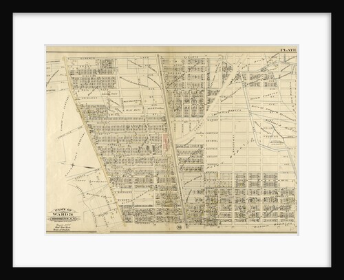
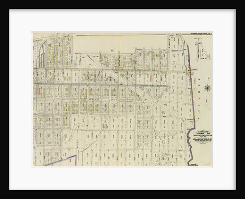
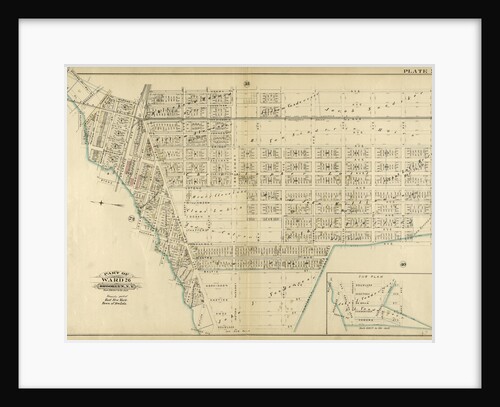
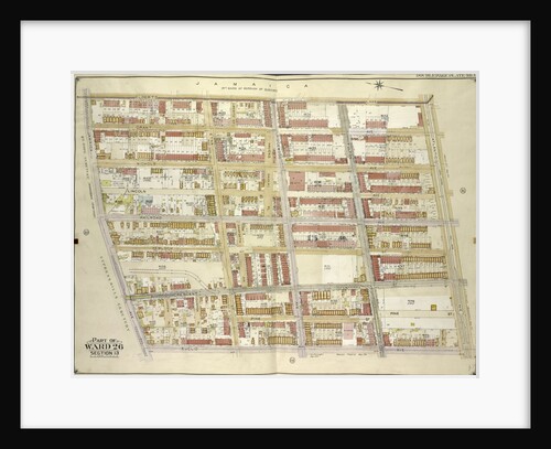
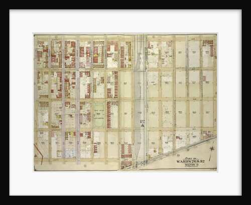
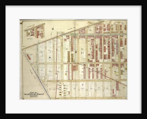
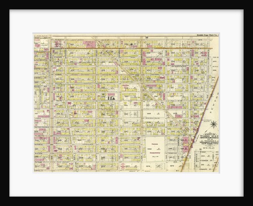
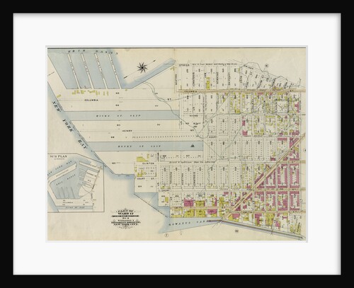
Part of Ward 26. Brooklyn, N.Y
Anonymous
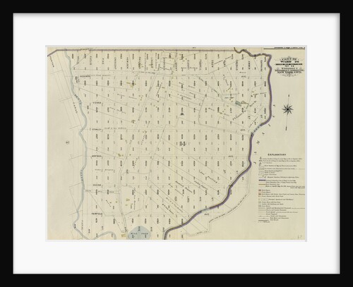
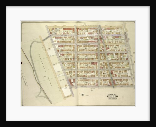
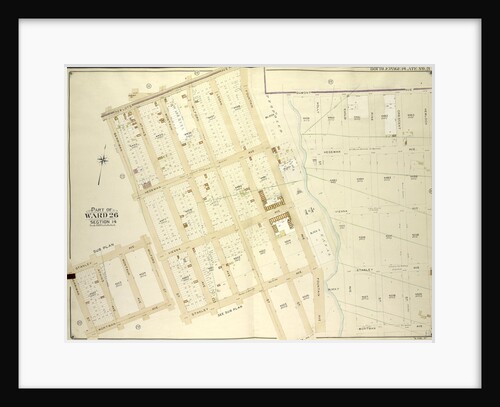
Part of Ward 26. Land Map Section, No. 14. Volume 1, Brooklyn Borough, New York City
Anonymous
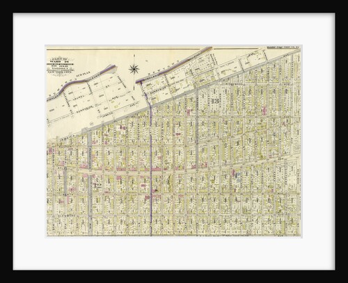
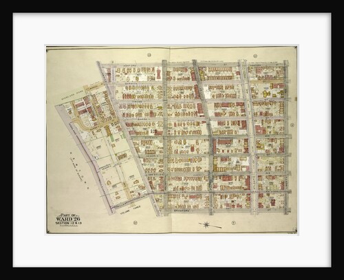
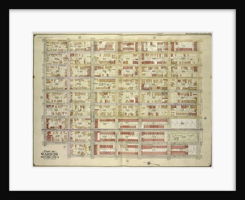
Part of Ward 26. Land Map Sections, Nos. 12 & 13. Volume 1, Brooklyn Borough, New York City
Anonymous
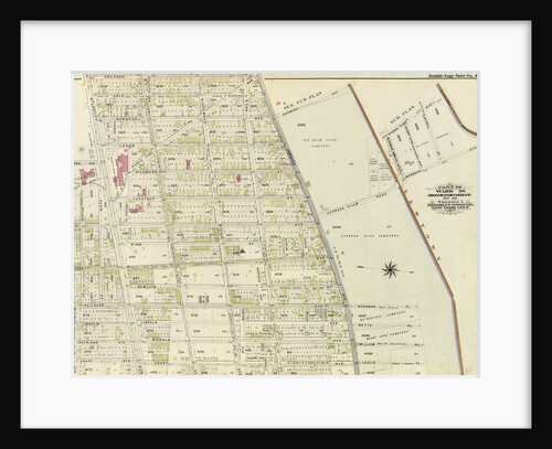
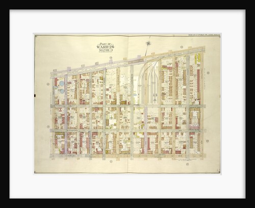
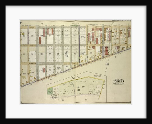
Part of Ward 26. Land Map Section, No. 13. Volume 1, Brooklyn Borough, New York City
Anonymous
Part of Ward 26. Land Map Section, No. 13. Volume 1, Brooklyn Borough, New York City
Anonymous
Part of Ward 26. Land Map Section, No. 14. Volume 1, Brooklyn Borough, New York City
Anonymous
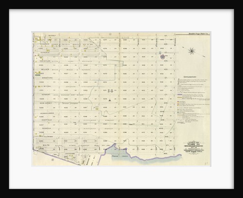
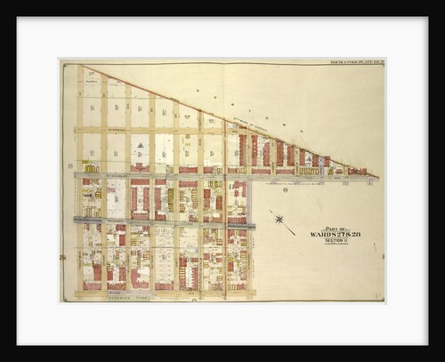
Part of Ward 26. Brooklyn, N.Y
Anonymous
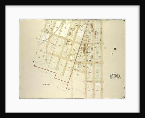
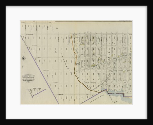
Map bounded by Newlots Ave., Alabama Ave., Stanley Ave; Including Fresh Creek, E. 107th St., Powell St., New York
Anonymous
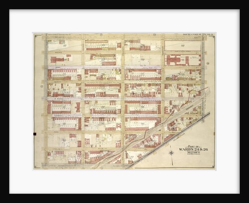
Part of Wards 26 & 32. Land Map Section, No. 12, Volume 1, Brooklyn Borough, New York City
Anonymous
Map bounded by Hale Ave., Atlantic Ave., Ashford St; Including Jamaica Ave., Warwick St., Sunnyside Ave., New York
Anonymous
Map bounded by Atlantic Ave., Fountain Ave; Including Pitkin Ave., Ashford St., New York
Anonymous
Map bounded by Powell St., Dumont Ave; Including Bristol St., East New York Ave., New York
Anonymous
Map bounded by Ashford St., Liberty Ave., Bradford St., Jamaica Ave; Including Miller Ave., Highland Blvd., Warwick St., New York
Anonymous
Map bounded by Elderts Lane, Atlantic Ave; Including Euclid Ave., Jamaica Ave., New York
Anonymous
Map bounded by Newlots Ave., Berriman St; Including Stanley Ave., Henorix St., New York
Anonymous
Map bounded by Ashford St., Dumont Ave., Wyona St; Including Glenmore Ave., Bradford St., Liberty Ave., New York
Anonymous
Map bounded by Atlantic Ave., Rockaway Ave., East New York Ave; IncludingSt. Johns PL. Douglass St., Ralph Ave., New York
Anonymous
Map bounded by Stanley A., New York
Anonymous
Map bounded by Dumont Ave., Georgia Ave., New Lots Ave; Including Lott Ave., Thatford St., New York
Anonymous
Map bounded by Boundary Line of the Borough of Brooklyn and Queens, Elderts Lane, New York
Anonymous
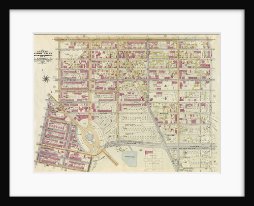
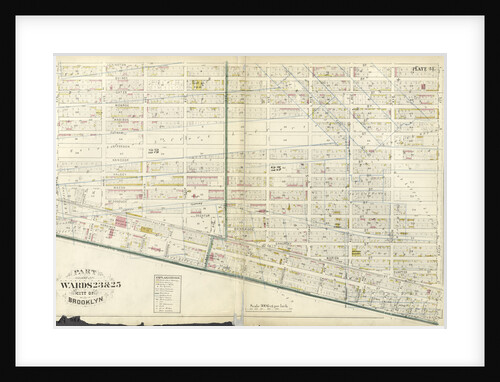
Part of Ward 24 & 25. Brooklyn, N.Y
Anonymous
Map bounded by Tilden Ave., Canarsie Ave., E. 37th St; Including Avenue D, E. 26th St., Prospect St., New York
Anonymous
Map bounded by Boundry Line of Borough of Brooklyn and Queens, Ralph St., St.Nicholas Ave; Including Stanhope St., Irving Ave.,...
Anonymous
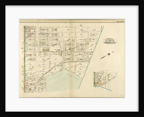
Part of Ward 23. Land Map Section, No. 6, Volume 1, Brooklyn Borough, New York City
Anonymous
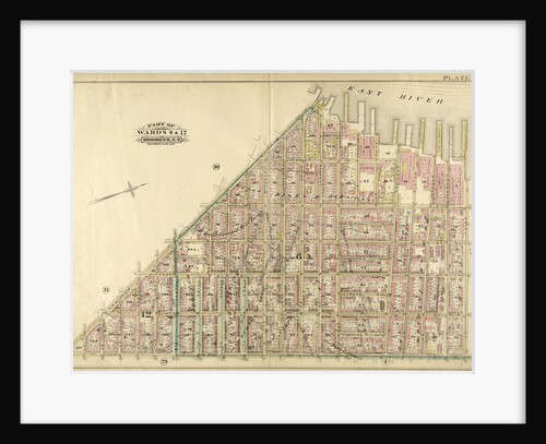
Part of Wards 6 & 12. Brooklyn, N.Y
Anonymous
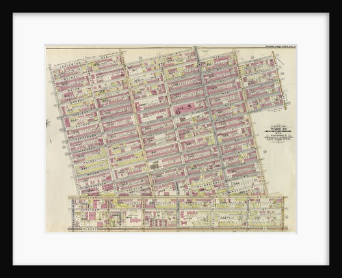
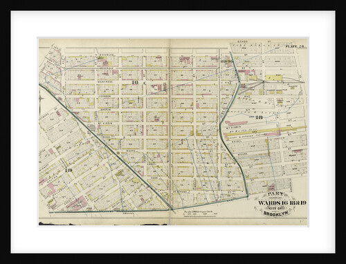
Part of Wards 16, 18 & 19. City of Brooklyn, New York
Anonymous
Map bounded by East New York Ave., Bris., New York
Anonymous
Part of Ward 18. Brooklyn, N.Y
Anonymous
Part of Wards 9, 22 . Land Map Section, No. 4, Volume 1, Brooklyn Borough, New York City
Anonymous
Part of Wards 9 & 24. City of Brooklyn, New York
Anonymous
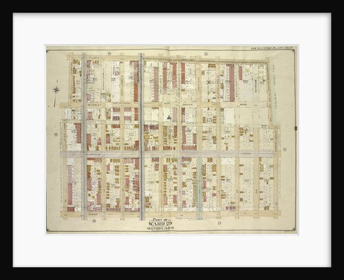
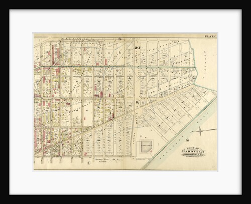
Part of Wards 27 & 28. Land Map Section, No. 11, Volume 1, Brooklyn Borough, New York City
Anonymous
Part of Ward 22. Land Map Section, No. 4, Volume 1, Brooklyn Borough, New York City
Anonymous
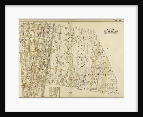
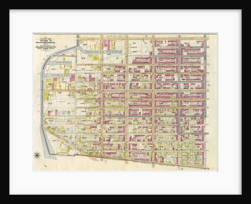
Part of Wards 23 & 25. City of Brooklyn, New York
Anonymous
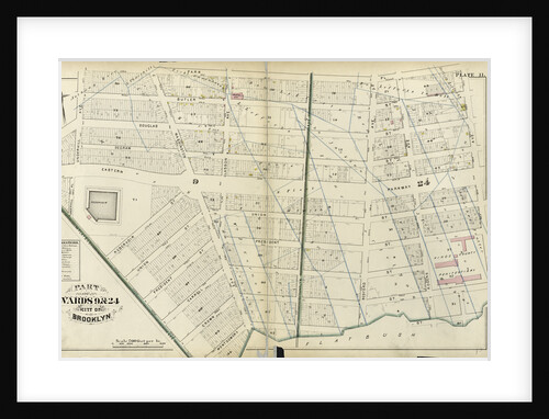
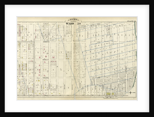
Part of Ward 24. City of Brooklyn, New York
Anonymous
Part of Ward 12. Land Map Section, No. 2, Volume 1, Brooklyn Borough, New York City
Anonymous
Part of Wards 9 & 24. Brooklyn, N.Y
Anonymous
1
2
3
…
18
Next »
Recently viewed
Clear history