☰ Menu
Images
Products
Log in
Basket:
0
items
Popular
Subjects
Artists
Collections
Art prints
Frames
Canvases
Postcards
Gift cards
Portolan chart posters & prints
Showing 1 to 36 of 1000
Search these images +
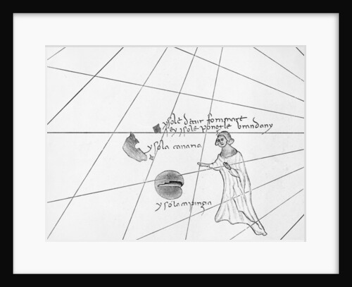
Saint Brendan, from a C19th copy of the Pizzigani portolan, 1367
Domenico and Francesco (after) Pizzigano
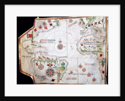
Nautical chart, 1558
Anonymous
Nautical chart of the Mediterranean Sea and the Black Sea, 1440s
Pere Rossell
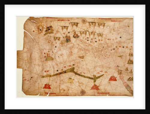
Nautical chart of the Mediterranean Sea, 1508
Anonymous
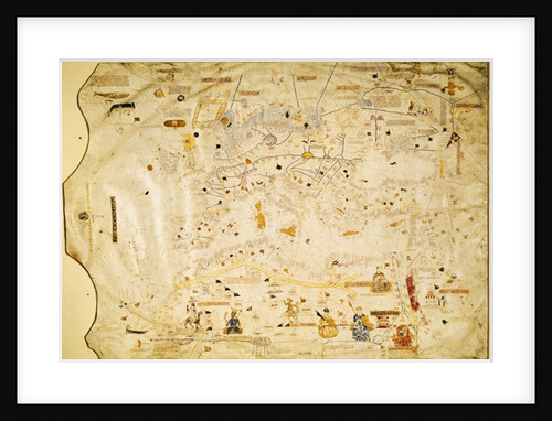
Map of Charles V, Map of Mecia de Viladestes, a portulan of Europe and North Africa, 1413
Spanish School
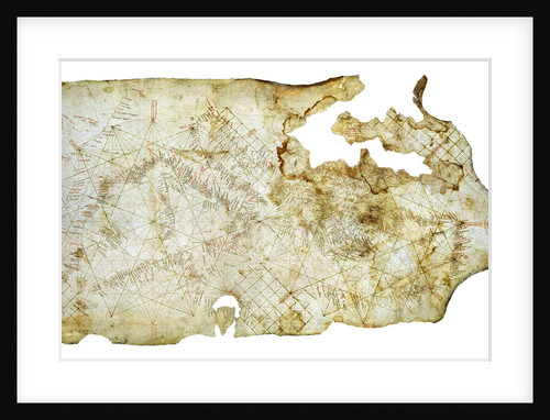
Carta Pisana, ca 1275-1300
Anonymous master
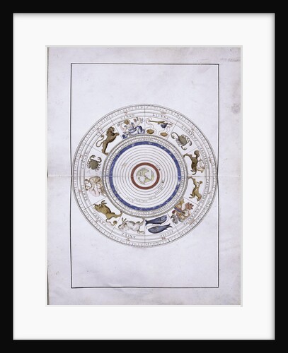
Zodiac as spheres with the earth in the center
Battista Agnese
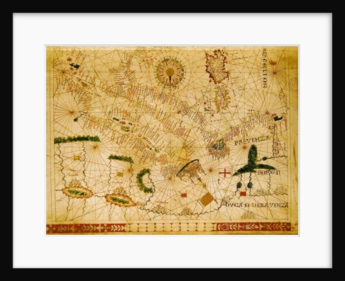
Provence and Italy
Giovanni Xenodocus da Corfu
The Selden Map of China
Chinese Master
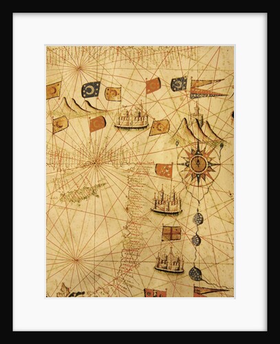
The Coast of Turkey and Cyprus
Calopodio da Candia
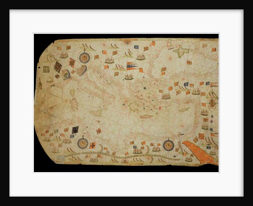
The entire Mediterranean Basin
Calopodio da Candia
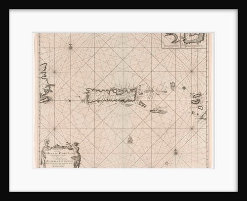
Sea chart of Puerto Rico
Johannes van Keulen I
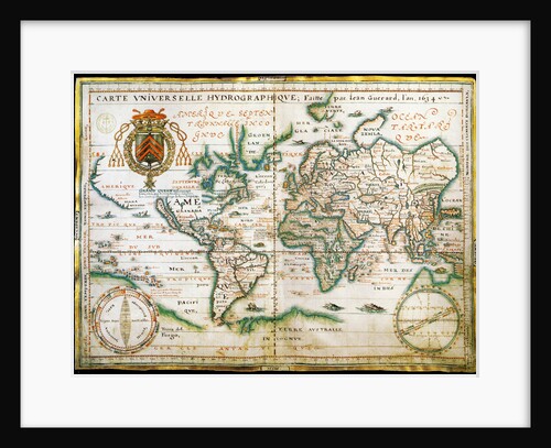
Nautical world map. (Australia is suggested but still unknown territory and, California is shown as
Anonymous
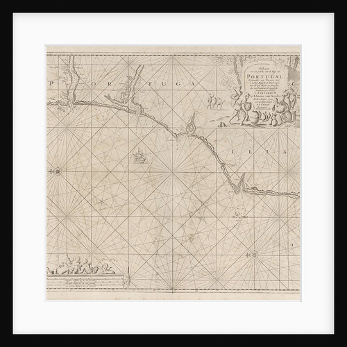
Sea chart of a portion of the south coast of Portugal
Johannes van Keulen I
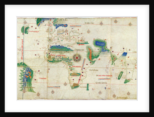
The Cantino planisphere, 1502
Anonymous master
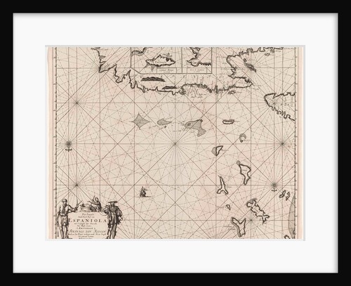
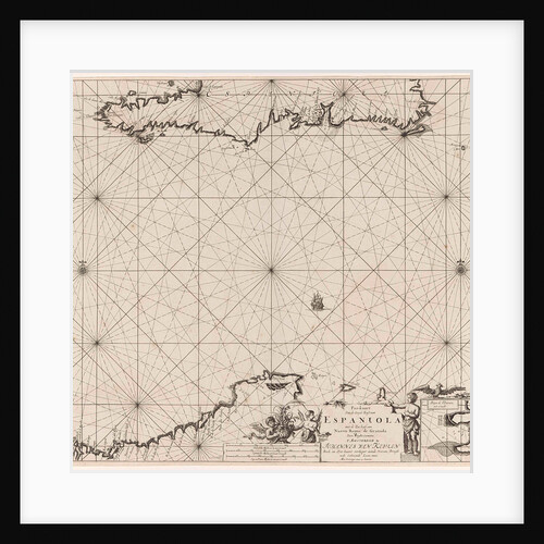
Sea chart of the north coast of Hispaniola, with two insert cards
Johannes van Keulen I
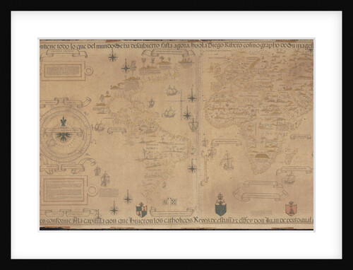
World Map (Propoganda), 1529
Diogo Ribeiro
Astrological table of Cancer
Italian School
Sea chart of the Strait of Gibraltar
Anonymous
The Port of La Valletta
Italian School
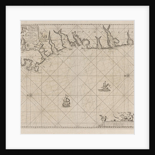
Sea chart of part of the south coast of Portugal
Johannes van Keulen I
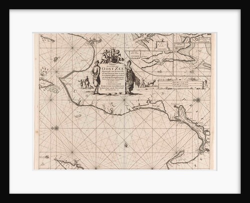
Sea chart of a portion of the Baltic coast of Poland and Latvia
unknown
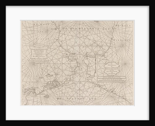
Sea chart of the Strait of Gibraltar
Johannes van Keulen II
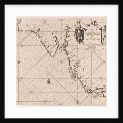
Sea chart of part of the coast of Suriname and Guyana
Johannes van Keulen I
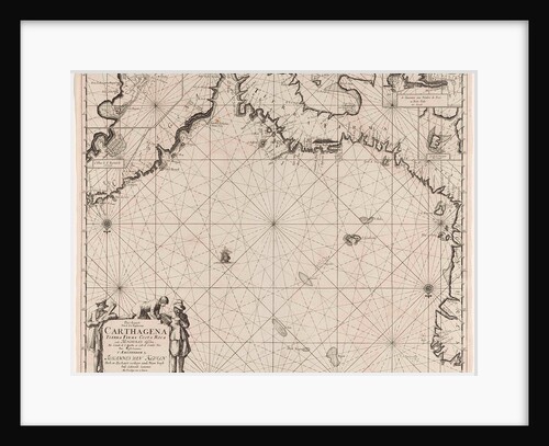
Sea chart of the coasts of Colombia, Panama, Costa Rica and Honduras, with an inset map of Cartagena
Johannes van Keulen I
Chart of the Island and Port of Cape Frio
John Frederick Fitzgerald De Roos
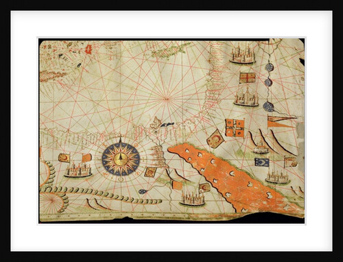
Egypt and the Red Sea
Calopodio da Candia
Detail of Copy of a Catalan Map of Europe and North Africa, presented to Charles V of France in 1381
Abraham Cresques
Provence and Northern Italy
Giovanni Xenodocus da Corfu
Chart of the cove showing the wreck of H.M.S.Thetis
John Frederick Fitzgerald De Roos
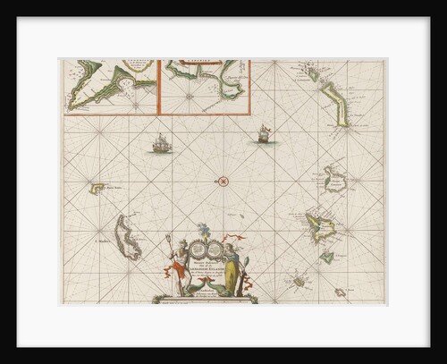
Sea chart of the Canary Islands
Anonymous
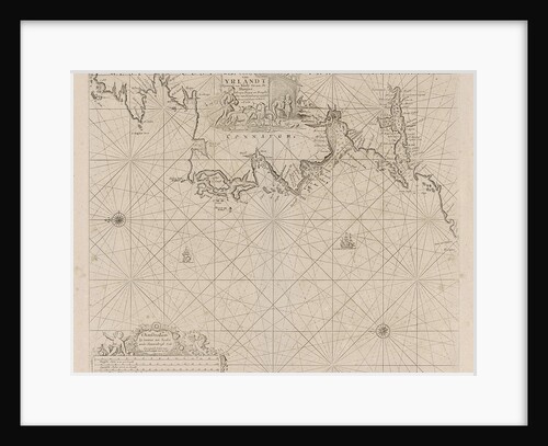
Sea chart of a portion of the west coast of Ireland
Johannes van Keulen I
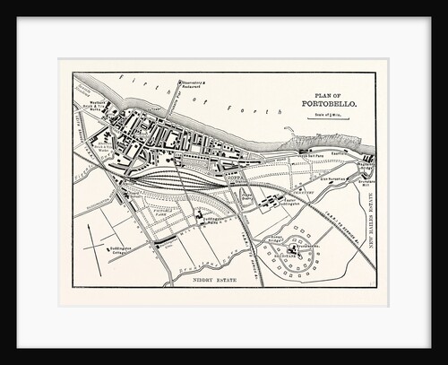
Plan of Portobello
Anonymous
Venezuela and Curacao and Aruba
Anonymous
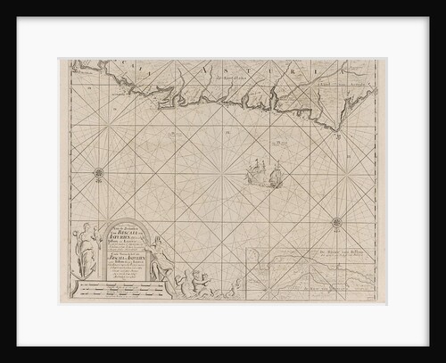
Sea chart of a portion of the Bay of Biscay in Bilbao
Johannes van Keulen II
The Atlantic coasts of Europe and the Western Mediterranean
Pietro Giovanni Prunes
1
2
3
…
28
Next »
Recently viewed
Clear history