☰ Menu
Images
Products
Log in
Basket:
0
items
Popular
Subjects
Artists
Collections
Art prints
Frames
Canvases
Postcards
Gift cards
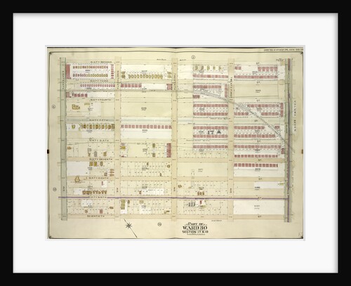
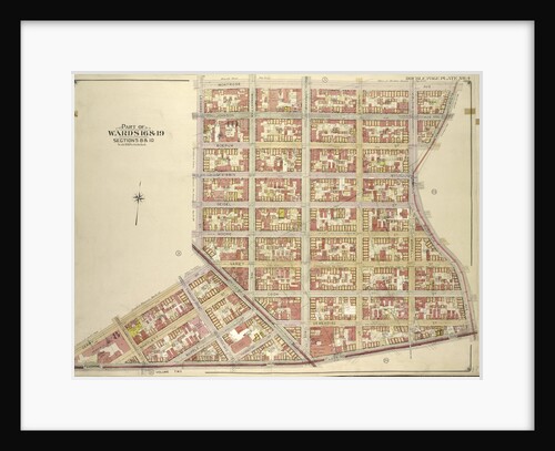
Sections 17 & 19 posters & prints
Showing 1 to 36 of 389
Search these images +
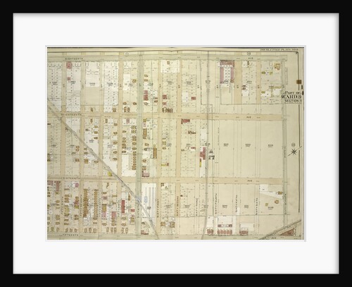
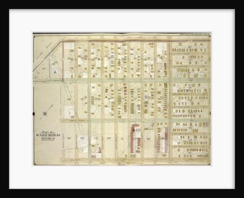
Map bounded by 62nd St., 22nd Ave; Including 70th St., 18th Ave., New York
Anonymous
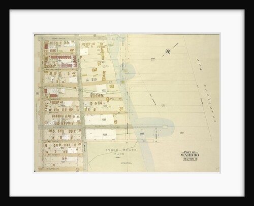
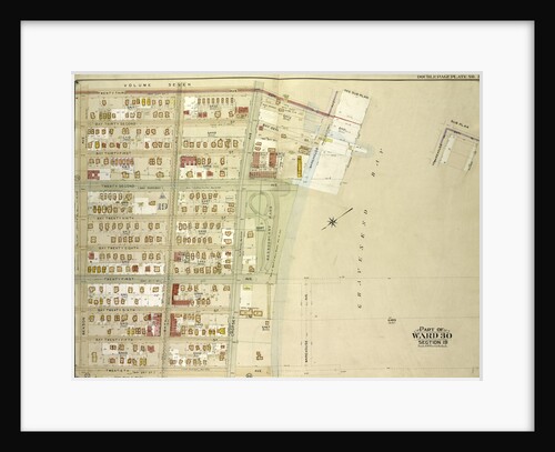
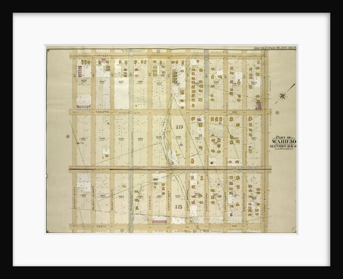
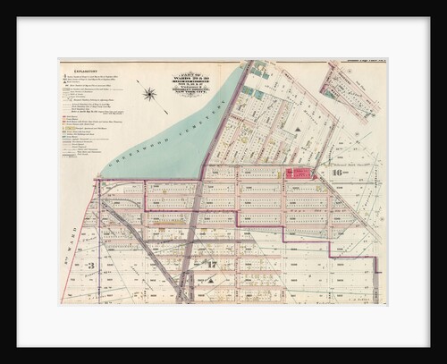
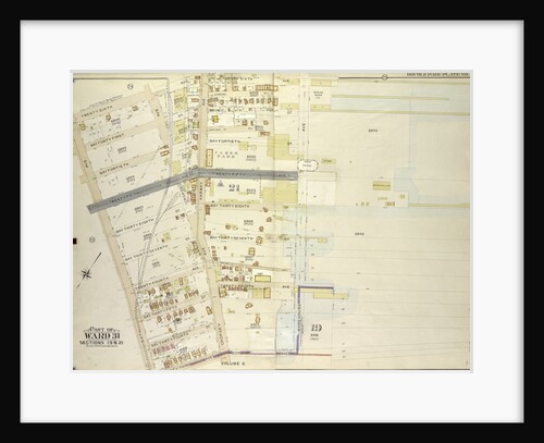
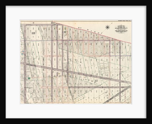
Part of Ward 30, Land Map Sections, Nos. 17, 18 & 19. Volume 2, Brooklyn Borough, New York City
Anonymous
Map bounded by 15th Ave., 76th St; Including 12th Ave., 64th St., New York
Anonymous
Map bounded by 18th Ave., 68th St; Including 15th Ave., 67th St., New York
Anonymous
Map bounded by 67th St., 12th Ave., 76th St; Including 7th Ave., 8th Ave., New York
Anonymous
Map bounded by 20th Ave., Warehouse Ave., 17th Ave., Rutherford Pl., Benson Ave., New York
Anonymous
Map bounded by Ocean Parkway, Avenue L, Avenue M, West St; Including 58th St., Avenue K., New York
Anonymous
Map bounded by 18th Ave., 67th St; Including 15th Ave., 55th St., New York
Anonymous
Map bounded by 76th St., 15th Ave., 78th St., 17th Ave; Including New Utrecht Ave., 83rd St., 13th Ave., New...
Anonymous
Map bounded by 20th Ave., Benson Ave., Ruthrford Pl; Including 17th Ave., New Utrech Ave., 78th St., New York
Anonymous
Map bounded by 12th Ave., 49th St., 9th Ave; Including 37th St., 10th Ave., 39th St., New York
Anonymous
Map bounded by 17th Ave., Warehouse Ave., Sharp Ave; Including Bay Eighth St., Cropsey Ave., 14th Ave., Bath Ave., New...
Anonymous
Map bounded by 23rd Ave., Benson Ave., 20th Ave., 28th St; Including 22nd Ave., Avenue P, Stillwell Ave., New York
Anonymous
Map bounded by 23rd Ave., Warehouse Ave., 20th Ave., Benson Ave., New York
Anonymous
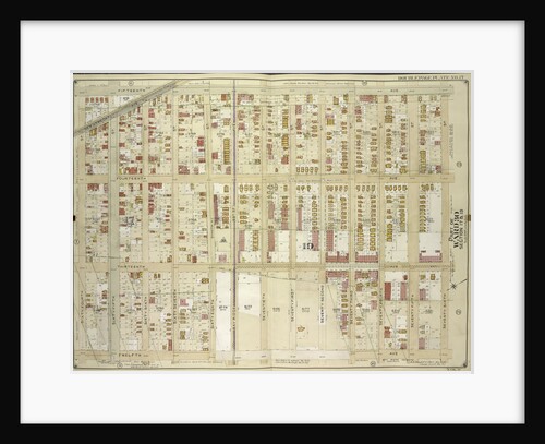
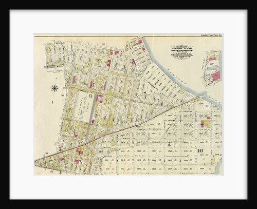
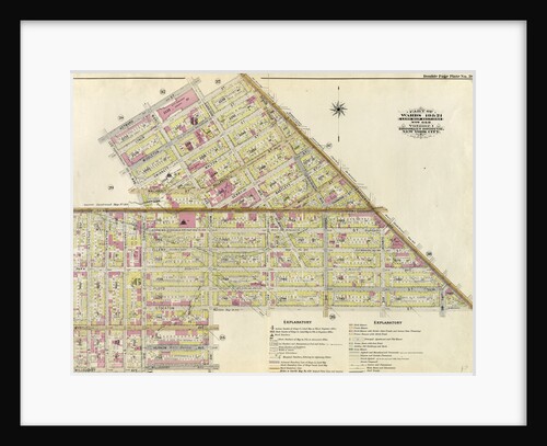
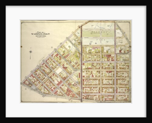
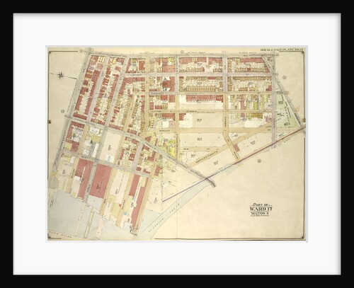
Part of Wards 17 & 18. Land Map Sections, No. 9 & 10, Volume 1, Brooklyn Borough, New York City
Anonymous
Map bounded by 49th St., 12th Ave; Including 58th St., 8th Ave., New York
Anonymous
Map bounded by 13th Ave., 86th St; Including 10th Ave., 76th St., New York
Anonymous
Map bounded by 70th St., 22nd Ave; Including 78th St., 18th Ave., New York
Anonymous
Map bounded by 18th Ave., 55th St., 15th Ave; Including 43rd St., 16th Ave., 44th St., 45th St., New York
Anonymous
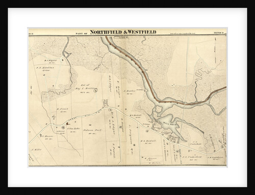
Section 19. Staten Island, 1874, New York
Anonymous
Map bounded by 15th Ave., 42nd St., New Utrecht Ave., 12th Ave; Including 40th St., 13th Ave., 41st St., 42nd...
Anonymous
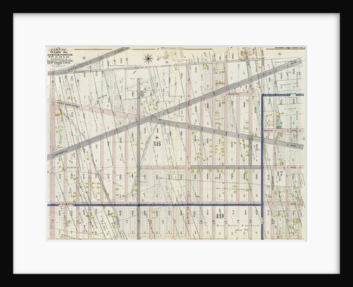
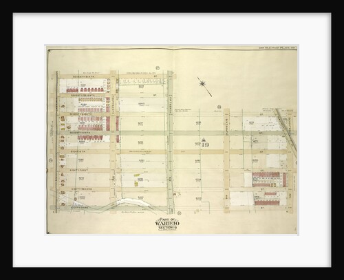
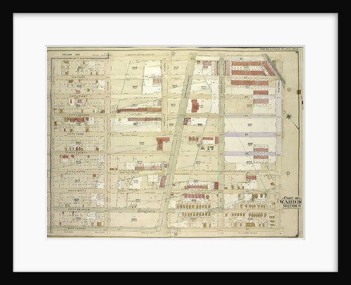
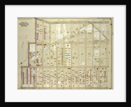
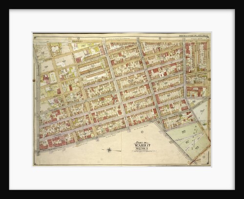
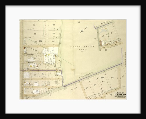
Part of Wards 29 & 30, Land Map Sections, Nos. 3, 16 & 17, Volume 2, Brooklyn Borough, New York...
Anonymous
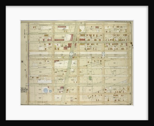
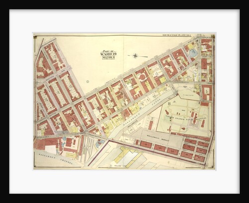
Part of Wards 19 & 21. Land Map Sections, No. 6 & 8, Volume 1, Brooklyn Borough, New York City
Anonymous
Map bounded by 58th St., 12th Ave; Including 67th St., 8th Ave., New York
Anonymous
Map bounded by Humboldtdt St., Engert Ave., Bedford Ave; IncludingManhattan Ave., Greenpoint Ave., Calyer St., Meserole Ave., New York
Anonymous
Map bounded by Engert Ave., Manhattan Ave., Metropolitan Ave; Including Driggs Ave., New York
Anonymous
Map bounded by 26th Ave., Warehouse Ave; Including 23rd Ave., Bath Ave., New York
Anonymous
Map bounded by 7th Ave., 102nd St., Battery Ave., New York
Anonymous
Map bounded by Lee Ave., Taylor St., Wythe Ave., Franklin Ave., Flushing Ave., Washington Ave., Wallabout Channel, Division Ave., New...
Anonymous
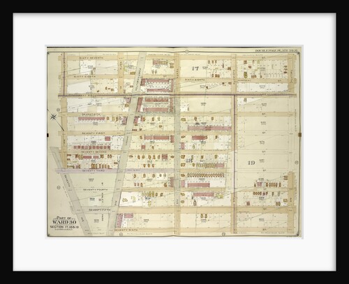
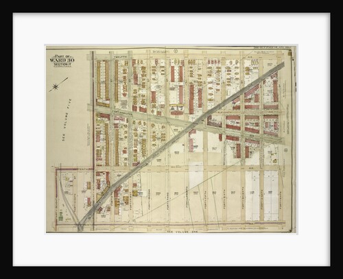
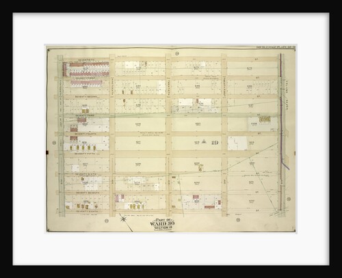
Part of Ward 30, Land Map Sections, Nos. 3, 17 & 18, Volume 2, Brooklyn Borough, New York City
Anonymous
Map bounded by Manhattan Ave., Bedford Ave., North Fourteenth St; IncludingBushwick Creek, East River, Greenpoint Ave., New York
Anonymous
Map bounded by Newtown Creek, Vandam St; Including Norman Ave., Humboldt St., Whale Creek Canal, New York
Anonymous
Map bounded by East River, Newtown Creek; Including Manhattan Ave., Greenpoint Ave., New York
Anonymous
Sections
Edmond Fierlants
Map bounded by Montrose Ave., Bushwick Ave., Flushing Ave; Including Gerry St., Broadway
Anonymous
Longitudinal section of St Paul's Cathedral, City of London
Anonymous
1
2
3
…
11
Next »
Recently viewed
Clear history