☰ Menu
Images
Products
Log in
Basket:
0
items
Popular
Subjects
Artists
Collections
Art prints
Frames
Canvases
Postcards
Gift cards
Topographic map posters & prints
Showing 1 to 36 of 41
Search these images +
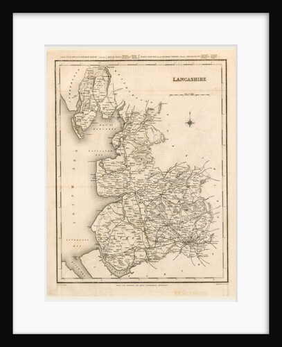
A Topographical Dictionary of England, Lancashire, map
Anonymous
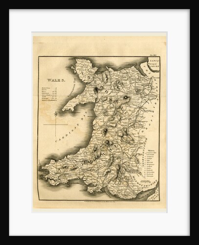
A Topographical Dictionary of the United Kingdom, Wales map
Anonymous
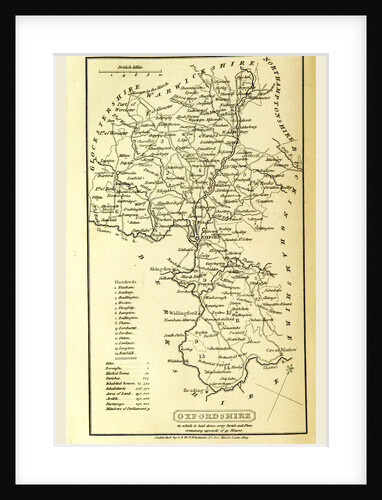
Oxfordshire, map, A Topographical Dictionary of the United Kingdom
Anonymous
Nottinghamshire, map, A Topographical Dictionary of the United Kingdom
Anonymous
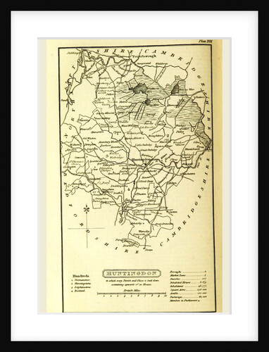
Huntingdon map, A Topographical Dictionary of the United Kingdom, UK
Anonymous
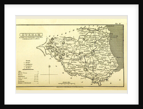
A Topographical Dictionary of the United Kingdom, Durham map, UK
Anonymous
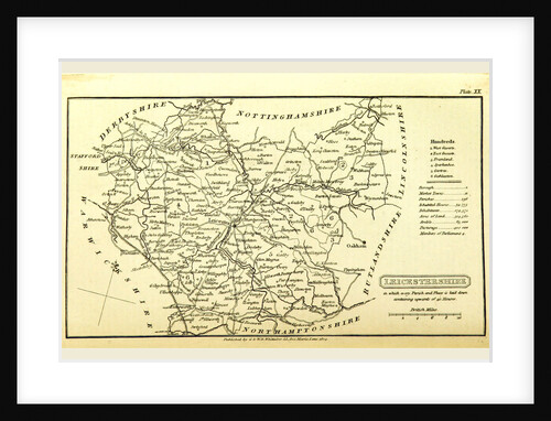
A Topographical Dictionary of the United Kingdom, Leicestershire map, UK
Anonymous
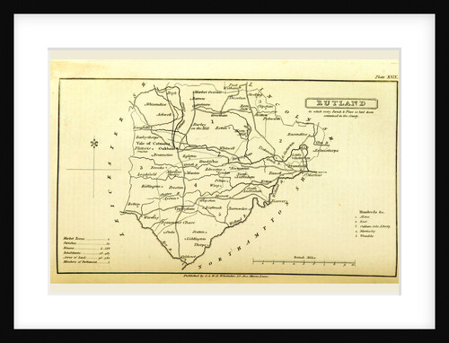
A Topographical Dictionary of the United Kingdom, Rutland map, UK
Anonymous
Scotland, map 1824, A Topographical Dictionary of the United Kingdom
Anonymous
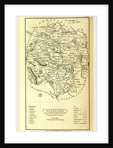
Hereford map, A Topographical Dictionary of the United Kingdom, UK
Anonymous
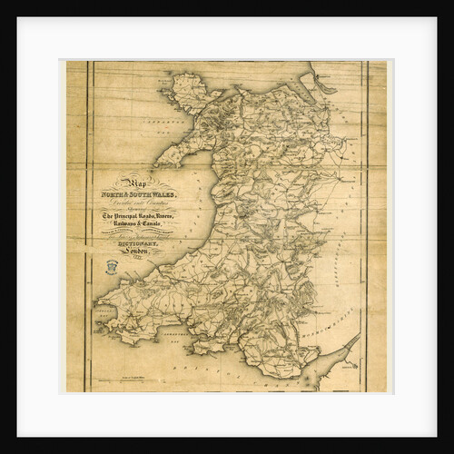
A Topographical Dictionary of Wales, map of North and South Wales
Anonymous
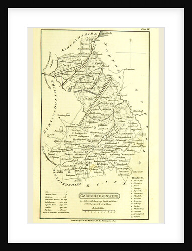
Cambridgeshire map, A Topographical Dictionary of the United Kingdom, UK
Anonymous
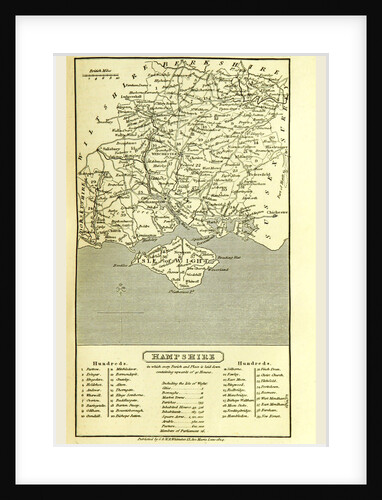
Hampshire, map 1824, A Topographical Dictionary of the United Kingdom, UK
Anonymous
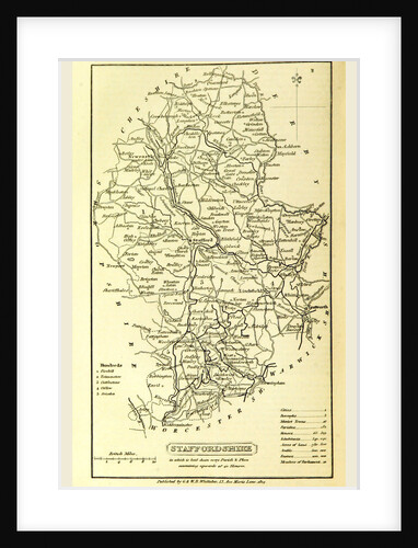
Staffordshire, map 1824, A Topographical Dictionary of the United Kingdom, UK
Anonymous
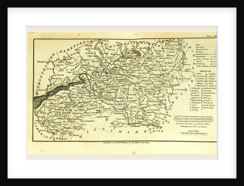
A Topographical Dictionary of the United Kingdom, Glocestershire map, Gloucestershire, UK
Anonymous
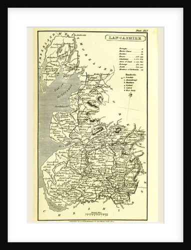
Lancashire map 1824, A Topographical Dictionary of the United Kingdom, UK
Anonymous
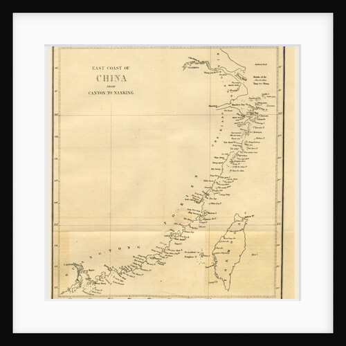
Topographical Map of the East coast of China from Canton to Nanking
Anonymous
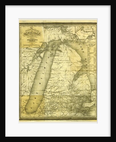
Map, History of Michigan, 1839, civil and topographical, in a compendious form
Anonymous
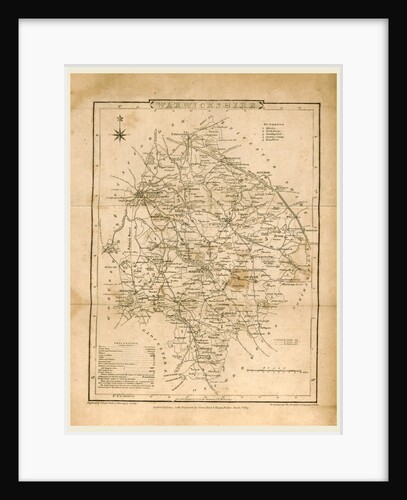
A Topographical and Historical Description of the County of Warwick illustrated with sixteen engravings and a map
Anonymous
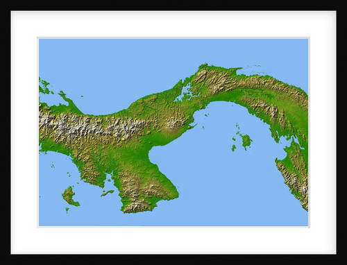
Topographic Image of Panama
Anonymous
Topographic Plan in the Shape of a Fan
Unknown
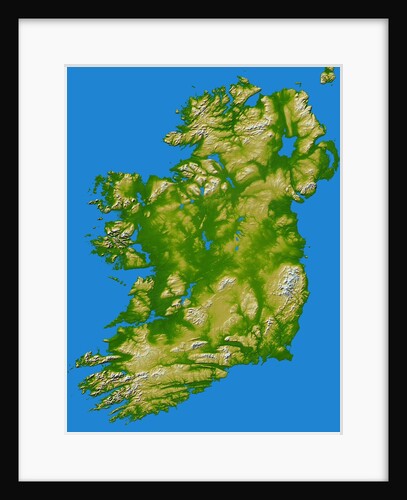
Topographic Image of Ireland
Anonymous
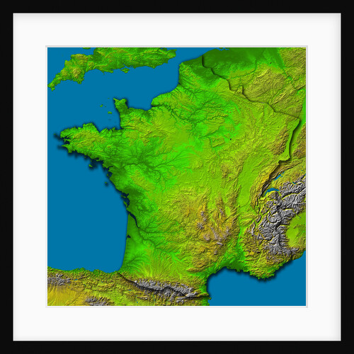
Topographic Image of France
Anonymous
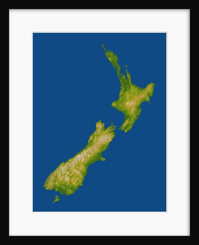
Topographic Image of New Zealand
Anonymous
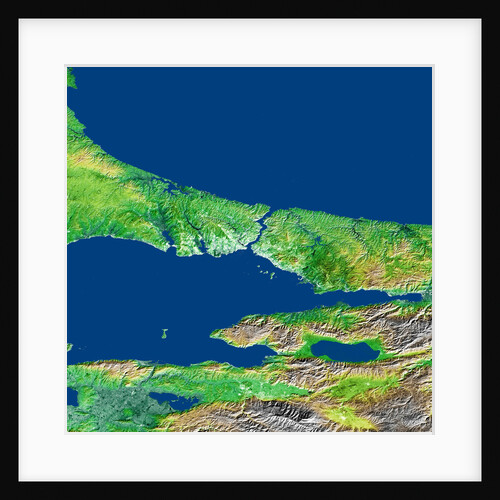
Topographic Image of the Bosporus in Turkey
Anonymous
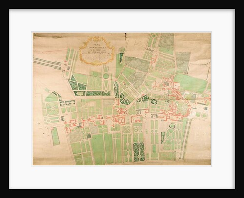
N/11/Seine/87 Topographical Map and Survey of the Village of Issy, 1740
Bernard Borde
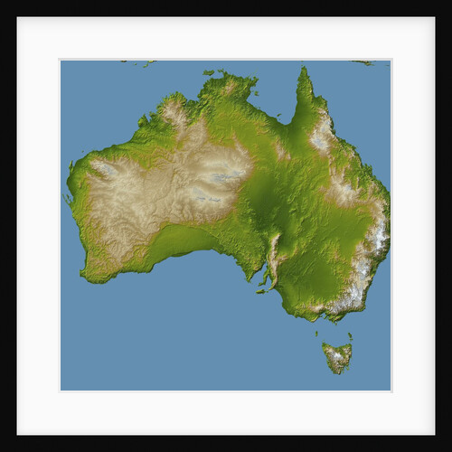
Topographic Imaged of the Australian Continent and Tasmania
Anonymous
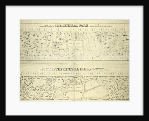
Map of the lands included in the Central Park, from a topographical survey, June 17th, 1856; Also: Plan for the...
Anonymous
Topographic View of the Countryside around the Plain of Arezzo and the Val di Chiana, Early16th cen
Leonardo da Vinci
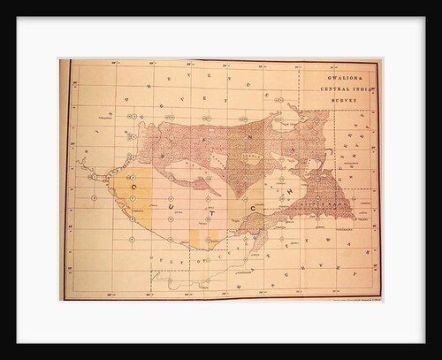
Index Chart of the Cutch Topographical Survey by the Trigonometrical Branch, Survey of India, Dehra Dun, November, 1883
English School
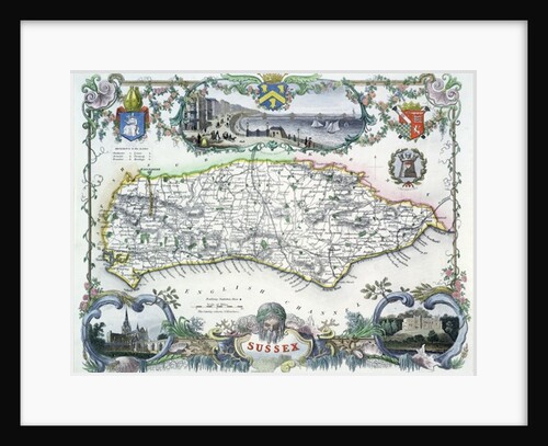
Sussex
Anonymous
'The explanatory print' [to 'A balloon prospect...']
William Angus
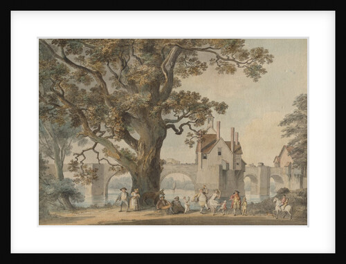
Bridgenorth, Shropshire, c. 1790
Anonymous
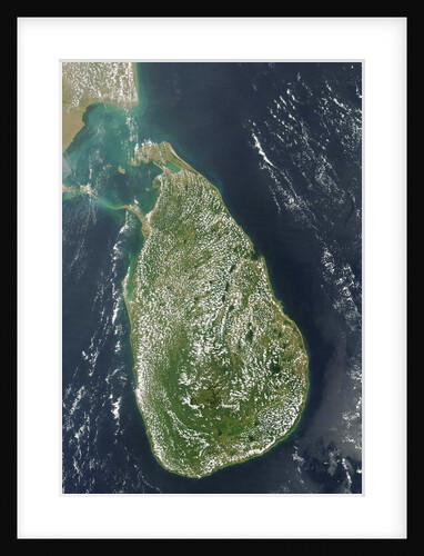
Satellite view of Sri Lanka
Anonymous
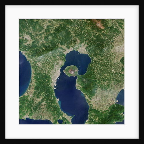
Satellite View of Sakura-jima Volcano in Japan
Anonymous
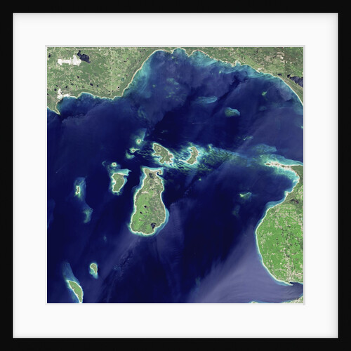
Satellite View of Beaver Island, Lake Michigan
Anonymous
1
2
Next »
Recently viewed
Clear history


!['The explanatory print' [to 'A balloon prospect...'] by William Angus](https://previews.magnoliabox.com/royalsociety/flat/rs-10230/GLOBAL-CFPM-18X24_black_500.jpg)