☰ Menu
Images
Products
Log in
Basket:
0
items
Popular
Subjects
Artists
Collections
Art prints
Frames
Canvases
Postcards
Gift cards
Agas map posters & prints
Showing 1 to 36 of 1000
Search these images +
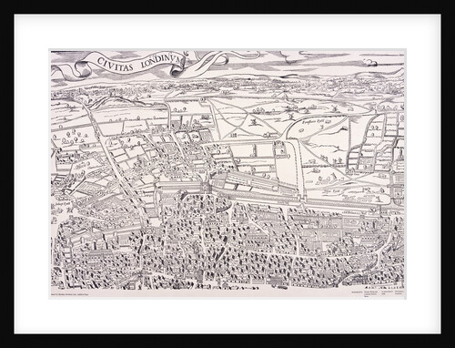
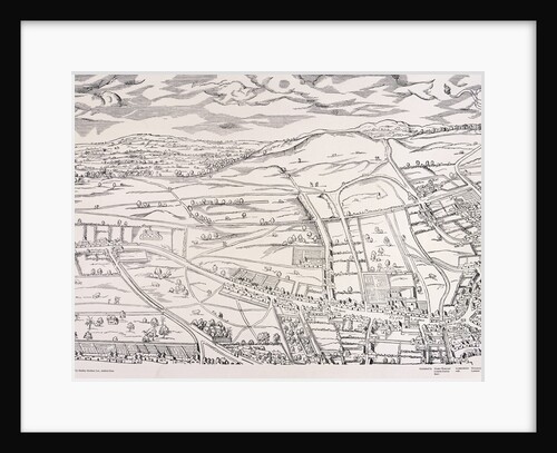
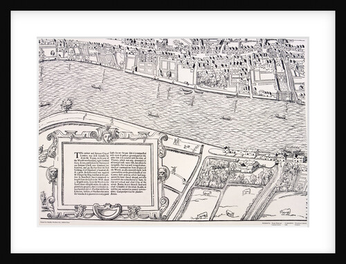
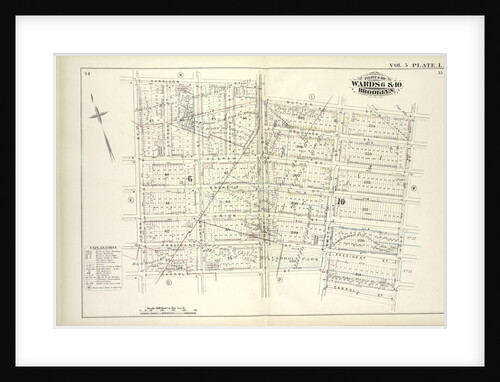
Agas' Map of London
Anonymous
Agas' Map of London
Anonymous
Agas' Map of London
Anonymous
Agas' Map of London
Anonymous
Agas' Map of London
Anonymous
Agas' Map of London
Anonymous
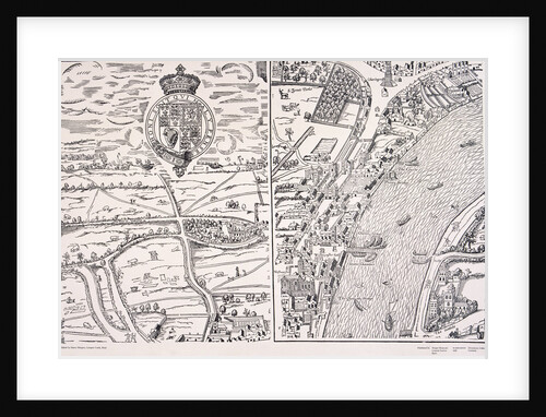
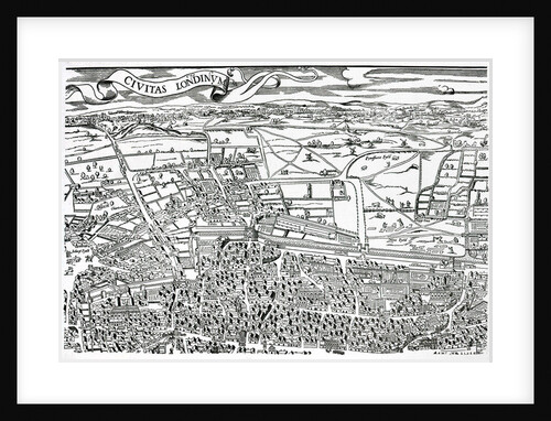
Detail of London Wall East of Smithfield from Civitas Londinium
Ralph Agas
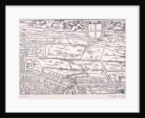
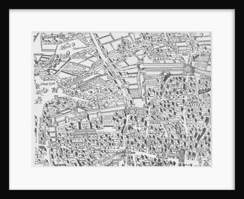
Detail of London North of the city from Civitas Londinium
Ralph Agas
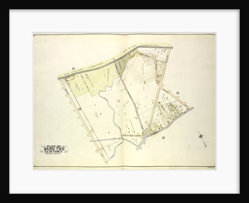
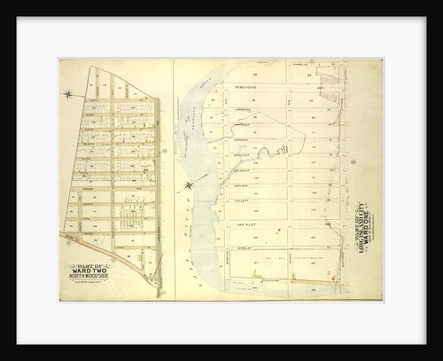
Map bounded by Newtown Ave., Covert Ave. Betts Ave., Old Brook School Road, Maurice Ave; Including Astoria Ave., Maspeth Ave.,...
Anonymous
Map bounded by Metropolis Ave., Mill St., Vansicklen Ave., Sutter Ave., Chestnut St; Including Metropolis Ave., Grant Ave., Rockaway Plank...
Anonymous
Map bounded by Engert Ave. Van Pelt Ave., Morgan Ave; Including Maspeth Ave., Skillman Ave., Manhattan Ave., New York
Anonymous
Map bounded by Webster Ave., Freeman Ave., Vernon Ave., Payntar Ave., Beebe Ave., Wilbur Ave., Harris Ave., Jackson Ave., Nott...
Anonymous
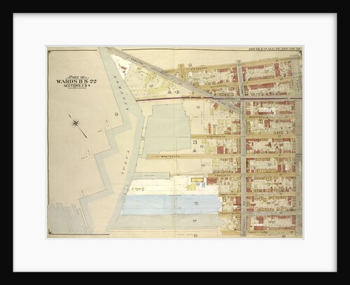
Map bounded by Atlantic Ave., Napier Ave., Ocean Ave., Hopkinton Ave., Woodhaven Ave., Flushing Ave., Grafton Ave., Hatch Ave., Shattuck...
Anonymous
Map bounded by Fifth Ave., Sixth Ave., Seventh Ave., Eighth Ave., East Eighth Ave., East Ninth Ave., E. 10th Ave.,...
Anonymous
Map bounded by Bowery Road, Jackson Ave., Newtown PL., Hunter PL., 10th St., 9th St., 8th St., 7th St., 6th...
Anonymous
Map bounded by South St., Country Road, Old Country Road, Jamaica Plank Road; Including Boundary Line Of City Of New...
Anonymous
Map bounded by Newlots Ave., Berriman St; Including Stanley Ave., Henorix St., New York
Anonymous
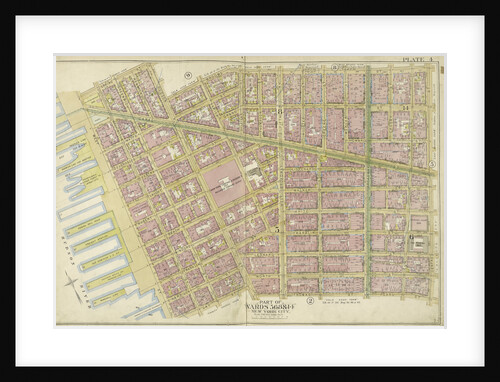
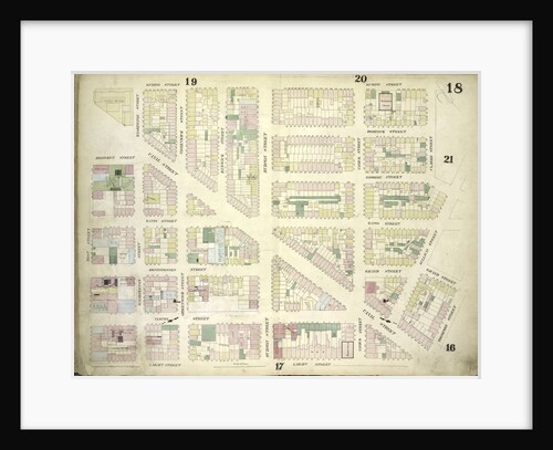
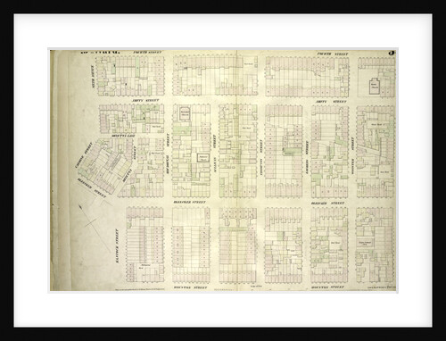
Map bounded by Spring St., Broome St., Centre St., Pearl St
Anonymous
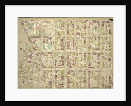
Map bounded by Keap St. late 10th St., South 4th St., South 3rd St., South 2nd St., South 1st St.,...
Anonymous
Map bounded by Flushing Plank Road, Peartree Summit Ave., Meadow St., Apple St., Grand Ave. Roosevelt St., Lake St., Park...
Anonymous
Map bounded by Flatbush Ave., Albemarle Road Avenue A, Rugby Road E. 14th St; Including Caton Ave. Johnson Ave., Parade...
Anonymous
Map bounded by E. 27th St., Avenue W; Including E. 18th St., Avenue S., New York
Anonymous
Map bounded by Engert Ave., Manhattan Ave., Metropolitan Ave; Including Driggs Ave., New York
Anonymous
Map bounded by Spring Street, Clarke Street, Sullivan Street, Grand Street, Thompson Street, Laight Street, West Street; Including Canal Street,...
Anonymous
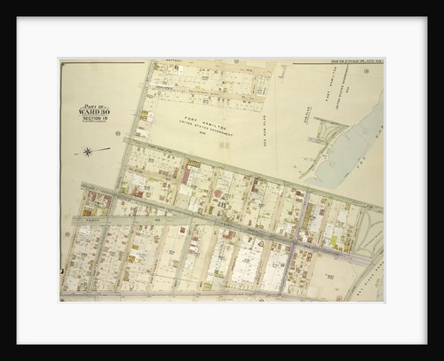
Map bounded by Fort Hamilton Ave., New York
Anonymous
Map bounded by Hamilton Ave., 15th St., 4th Ave; Including23rd St., Gowanus Canal., New York
Anonymous
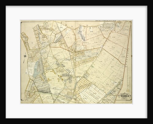
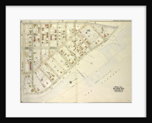
Atlas of the borough of the Bronx, city of New York, by and under the supervision of Hugo Ullitz
Anonymous
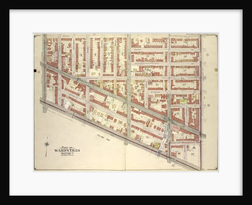
Map bounded by Gates Ave., Bedford Ave; Including Atlantic Ave., Washington Ave., New York
Anonymous
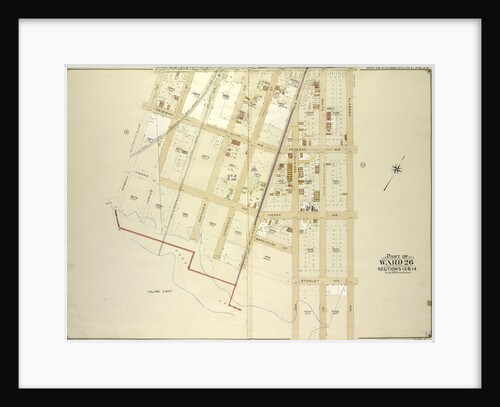
Map bounded by 3rd Ave., Bay Ridge Parkway; Including 91st St., New York
Anonymous
Map bounded by Newlots Ave., Alabama Ave., Stanley Ave; Including Fresh Creek, E. 107th St., Powell St., New York
Anonymous
Map bounded by Atlantic Ave., Franklin Ave; Including Sterling PL., Underhill Ave., New York
Anonymous
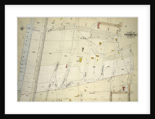
Map bounded by 14th Ave., 11th Ave., Ave. A, Ave. B, Ave. C, Lane, Penn Ave., Willets Point Road, Whitestone...
Anonymous
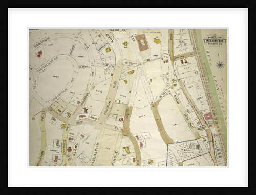
Atlas of the borough of the Bronx, city of New York, by and under the supervision of Hugo Ullitz
Anonymous
Map bound by Harrison St., Court St., Butler St., Hoyt St., Carroll St., Smith St., Henry St; Including Degraw St.,...
Anonymous
Map bounded by West 4th Street, East 4th Street, Green Street, Houston Street, Hancock Street, Bleecker Street, Carmine Street, Sixth...
Anonymous
Map bounded by E 27th St., Avenue S; Including E. 18th St., Avenue O., New York
Anonymous
1
2
3
…
28
Next »
Recently viewed
Clear history