☰ Menu
Images
Products
Log in
Basket:
0
items
Popular
Subjects
Artists
Collections
Art prints
Frames
Canvases
Postcards
Gift cards
Cartography posters & prints
Showing 1 to 36 of 1000
Search these images +
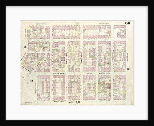
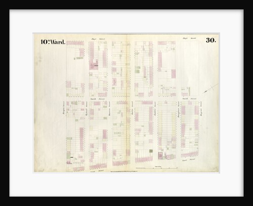
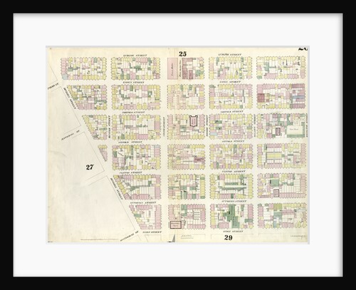
Map bounded by 4th Street, Green Street, Houston Street, Hancock Street, Bleeker Street, Carmine Street, Sixth Avenue. 1857
Anonymous
Use of the magnetic compass in map making, 1643
Unknown
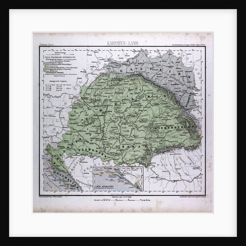
Carpathian Mountains, Karpaten, Karpaty, antique map 1869
Th. von Liechtenstern and Henry Lange
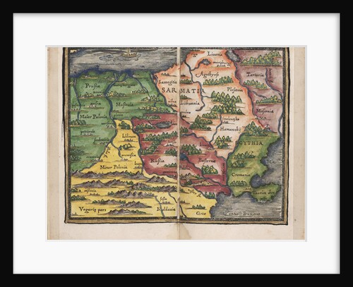
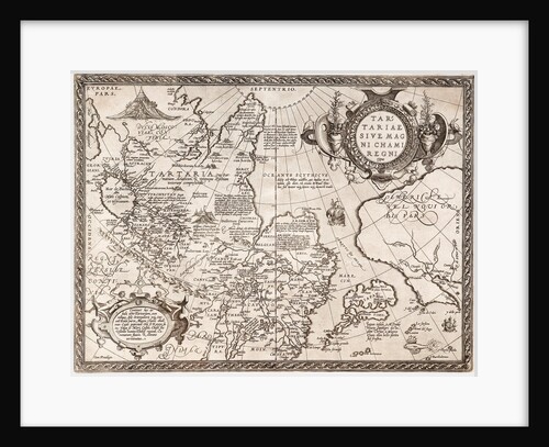
Map of Sarmatia
Johannes Honterus
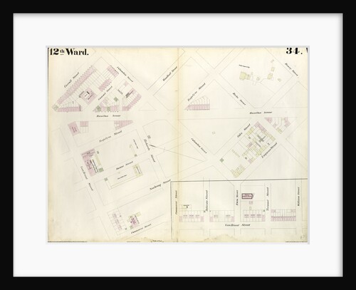
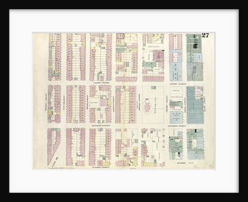
Map bounded by Carroll Street, Columbia Street, Rapelye Street, Henry Street, Luquer Street, Commerce Street, Richards Street
Anonymous
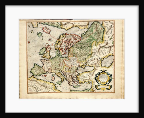
Atlas sive Cosmographicae Meditationes de Fabrica Mundi et Fabricati Fugura (Europe: Livonia, Russia
Gerardus Mercator
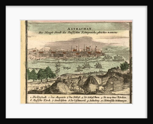
Map of Astrakhan, 1762
Anonymous
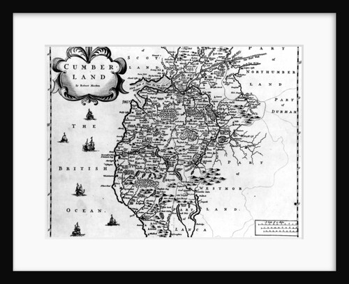
Map of Cumberland, c.1695
Robert Morden
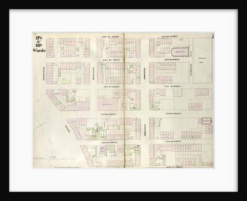
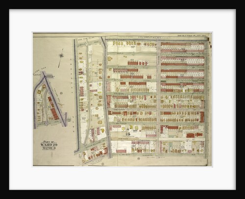
Map bounded by East 17th Street, Second Avenue, East 12th Street, Bowery, Fourth Avenue. 1852, 1854
Anonymous
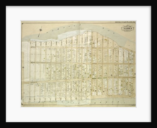
Map bounded by Park Ave., Southampton Ave., Ostend Ave., Dover Ave., Brighton Ave., Essex Ave., Norfolk Ave., Oxford Ave., Henley...
Anonymous
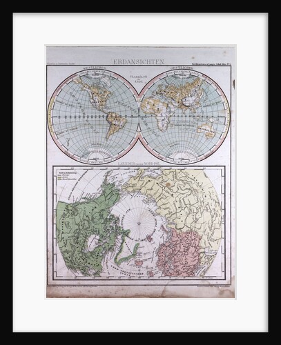
Earth Map, antique map 1869
Th. von Liechtenstern and Henry Lange
Map of Russia
Abraham Ortelius
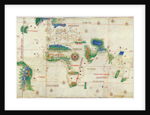
The Cantino planisphere, 1502
Anonymous master
Map bounded by 9th Street, Fourth Avenue, 4th Street, University Place. 1857
Anonymous
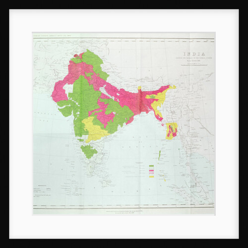
Map of India, showing the progress of the Imperial Surveys
English School
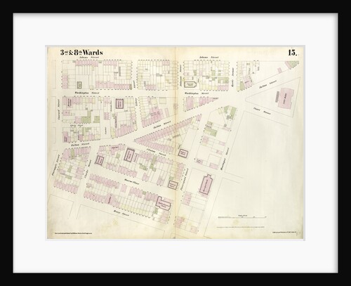
Map bounded by Pineapple Street, Fulton Avenue, Concord Street, Adams Street, Willoughby Street, Court Street, Montague Street, Henry Street. 1855
Anonymous
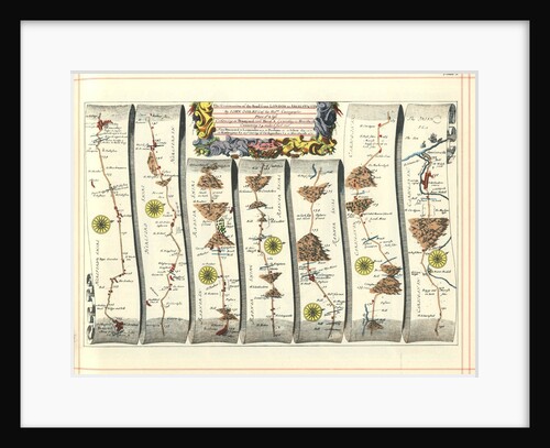
Britannia Atlas: The Continuation of the Road from London to Aberystwyth, 1675
John Ogilby
Reiner Gemma Frisius, Dutch astronomer, geographer, cartographer and mathematician, 1539
Unknown
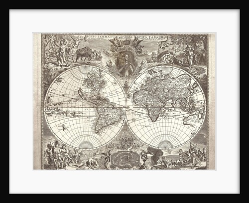
Double hemisphere map of the World, 1713
Vasily Anufrievich Kiprianov
Map bounded by Bergen Steet, Hoyt Street, Degraw Street, Court Street. 1855
Anonymous
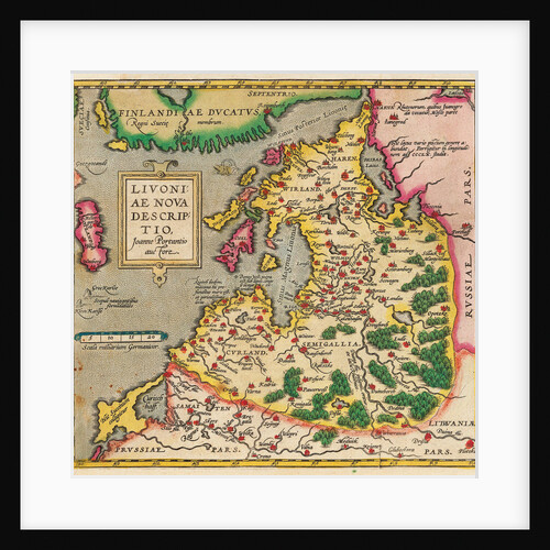
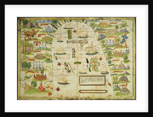
Livonia Map, Livoniae Nova Descriptio, 1573-1578
Anonymous master
Geological map of London and the surrounding area
T Walsh
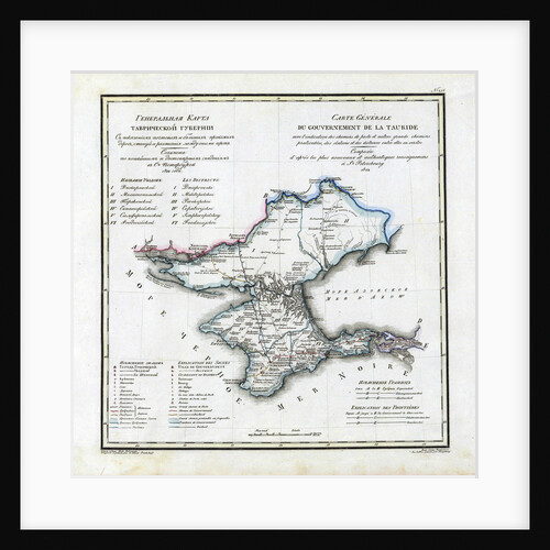
Map of Taurida Governorate, 1822
Vasily Petrovich Pyadyshev
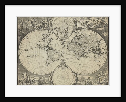
Orbis terrarum nova et accuratissima tabula, ca 1690
Nicolaes Visscher
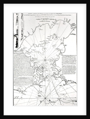
Plan of the Bay and Harbour of Rio de Janeiro on the coast of Brazil, 1794
French School
Map bounded by Division Street, Montgomery Street, South Street, Rutgers Street. 1857
Anonymous
Map of the China sea, from a facsimile of the 'Miller Atlas' by Pedro and Jorge Reinel, and Lopo Homem,...
Anonymous
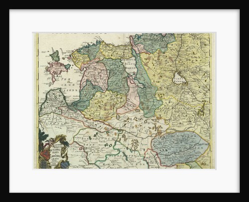
Map of Estonia and Livonia, 1745
Anonymous master
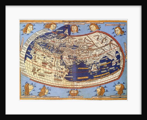
Ptolemy World map, 1467
Anonymous
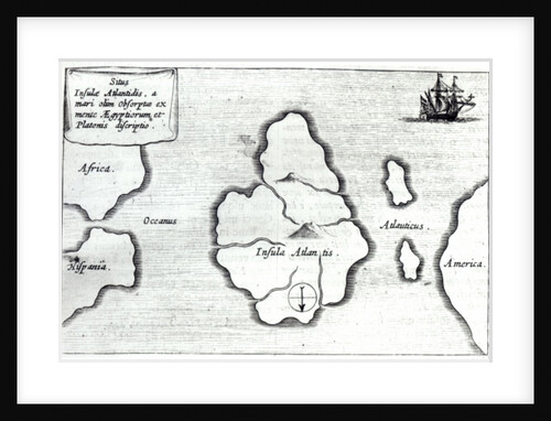
Map of Atlantis
Athanasius Kircher
Map bounded by Rivington Street, Ridge Street, Division Street, Canal Street, Ludlow Street. 1857
Anonymous
Map bounded by Flatbush Ave., Lincoln Road, Ocean Ave., New York
Anonymous
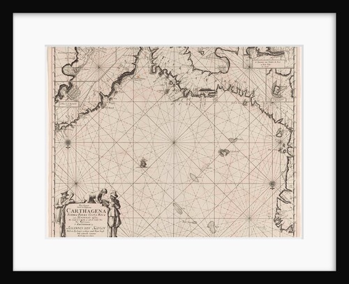
Sea chart of the coasts of Colombia, Panama, Costa Rica and Honduras, with an inset map of Cartagena
Johannes van Keulen I
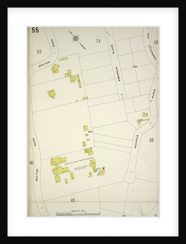
Map bounded by Bolton Rd., Nicholas Place, New York
Anonymous
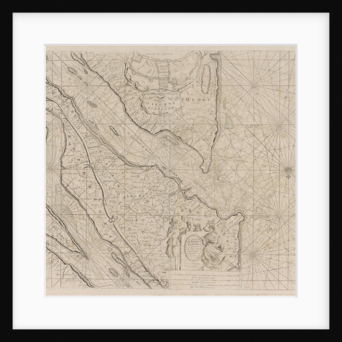
Sea chart of the River Gironde to Bordeaux
Johannes van Keulen I
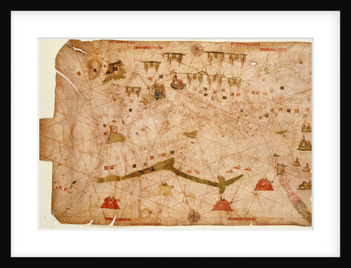
Nautical chart of the Mediterranean Sea, 1508
Anonymous
1
2
3
…
28
Next »
Recently viewed
Clear history