☰ Menu
Images
Products
Log in
Basket:
0
items
Popular
Subjects
Artists
Collections
Art prints
Frames
Canvases
Postcards
Gift cards
City map posters & prints
Showing 1 to 36 of 1000
Search these images +
Chicago City Map Showing Section of Terrible Fire
Anonymous
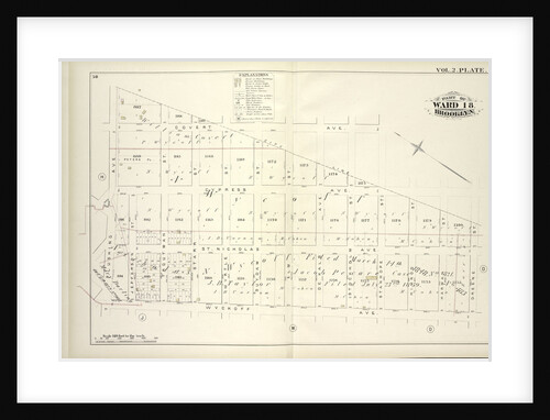
Map bound by City Line, Greene St., Wyckoff Ave., Flushing Ave; Including Covert Ave., Cypress Ave., St. Nicholas Ave., Jefferson...
Anonymous
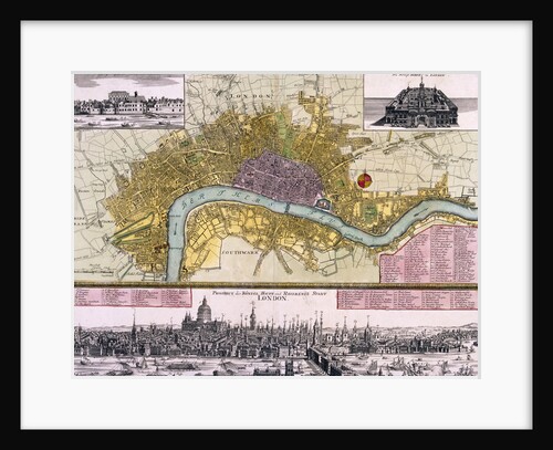
Map of Westminster, the City of London, Southwark, the Thames and surrounding areas
Anonymous
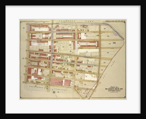
Map bounded by 15th St., Coney Island Road, Old City Line, 11th Ave; IncludingTerrace PL., Gravesend Ave., 12th St., 8th...
Anonymous
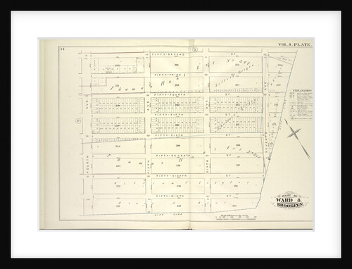
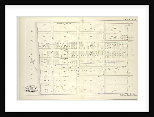
Map bound by Fifty-Second St., City Line, Fourth Ave; Including Fifty-Third St., Fifty-Fourth St., Fifty-Fifth St., Fifty-Sixth St., Fifty-Seventh St.,...
Anonymous
Map of the City of London
Anonymous
Map bound by Prospect Pl., Hopkinson Ave., City Line, Buffalo Ave; Including Ralph Ave., Howard Ave., Saratoga Ave., Park Pl.,...
Anonymous
Map of Aldgate Ward, City of London
RW Seale
Map bound by Forty-Fourth St., City Line, Fifty-Second St., Fourth Ave; Including Forty-Fifth St., Forty-Sixth St., Forty-Seventh St., Forty-Eighth St.,...
Anonymous
Early Map of Mexico City
Anonymous
Map of the City of London, Southwark and part of Westminster
Franz Hogenberg
Map bound by Orient Ave., City Line, Meadow St., Canal, Vandervoort Ave; Including Calhoun St., Dickinson St., Mill St., Grand...
Anonymous
Map bound by Magnolia St., City Line, Weirfield St., Central Ave; Including Palmetto St., Woodbine St., Ivy St
Anonymous
Map bound by Herkimer St., Rockaway Ave., Fulton St., Truxton St., City Line, Prospect Pl., Hopkinson Ave; Including Atlantic Ave.,...
Anonymous
Map bound by Fifty-Second, Fourth Ave., City Line, Gowanus Bay; Including Fifty-Third St., Fifty-Fourth St., Fifty-Fifth St., Fifty-Sixth St., Fifty-Seventh...
Anonymous
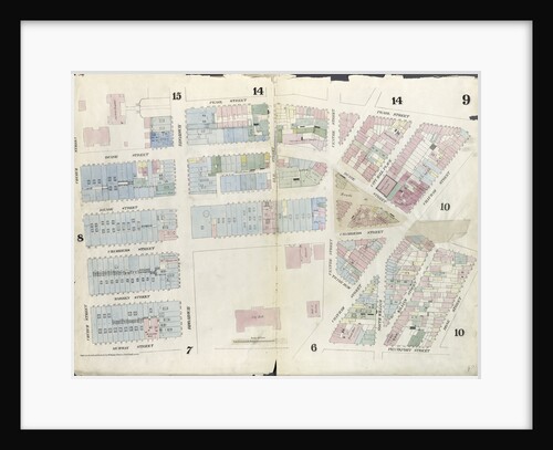
Map bounded by Pearl Street, Chatham Street, Duane Street, Rose Street, Frankfort Street, City Hall Square, Murray Street, Church Street....
Anonymous
Map bound by City Line, Cemetery Lane, Central Ave., Weirfield; Including Irving Ave., Knickerbocker Ave., Hamburg St., Margaretta St., Eldert...
Anonymous
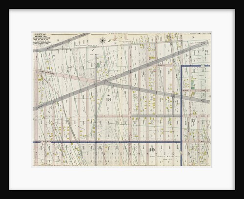
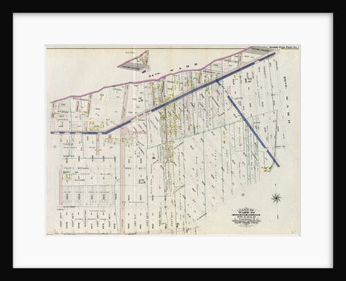
Part of Ward 30, Land Map Sections, Nos. 17, 18 & 19. Volume 2, Brooklyn Borough, New York City
Anonymous
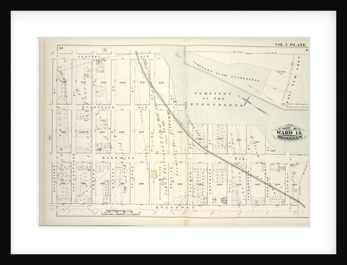
Map bound by Central Ave., Cemetery of the Evergreens, City Line, Broadway, Schaeffer St; Including Evergreen Ave., Bushwick Ave., Van...
Anonymous
Map bounded by Winthrop Ave., Van Alst Ave., Debevoise Ave., Rapelje Ave; Including Boulevard, Barclay St., Hallet St., Howland St.,...
Anonymous
MS HM 2182 The Forbidden City in Peking, from a collection of maps made during a Vietnamese embassy to China
School Vietnamese
Map bounded by South St., Country Road, Old Country Road, Jamaica Plank Road; Including Boundary Line Of City Of New...
Anonymous
Map bounded by Harold Ave., Middleburg Ave; Including Bragaw St., Lowery St., Van Buren St., Van Pelt St; Part of...
Anonymous
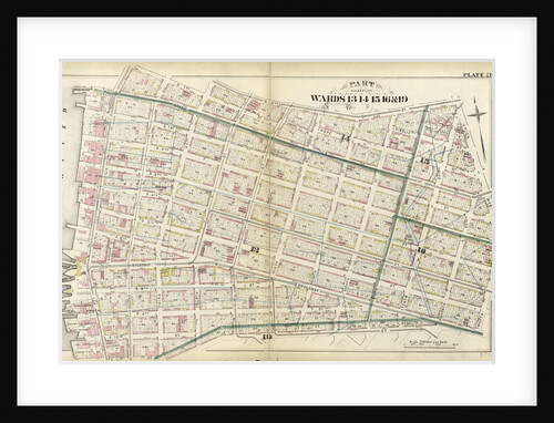
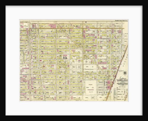
Part of Wards 13, 14, 15, 16 & 19 City of Brooklyn, New York
Anonymous
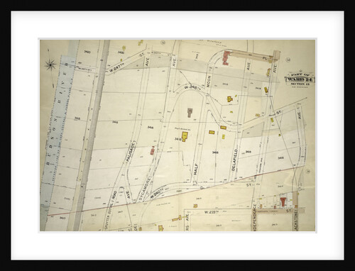
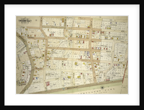
Atlas of the borough of the Bronx, city of New York, by and under the supervision of Hugo Ullitz
Anonymous
Atlas of the borough of the Bronx, city of New York, by and under the supervision of Hugo Ullitz
Anonymous
Atlas of the borough of the Bronx, city of New York, by and under the supervision of Hugo Ullitz
Anonymous
Map bounded by Winthrop Ave
Anonymous
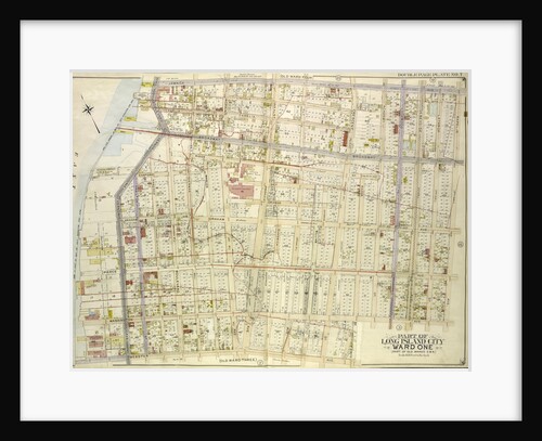
Map bounded by Van Pelt St., Greenpoint Ave., Hunters Point Ave., Borden Ave., Bradlay Ave; Including Newtown Creek, Water St.,...
Anonymous
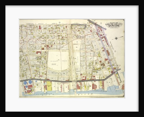
Map bounded by Jamaica Ave., Rapelje Ave. 4th Ave; Including Washington Ave., Webster Ave., East Channel, New York
Anonymous
Part of Wards 19 & 21. Land Map Sections, No. 6 & 8, Volume 1, Brooklyn Borough, New York City
Anonymous
Part of Ward 29. Land Map Sections, Nos. 5, 12, & 15. Volume 2, Brooklyn Borough, New York City
Anonymous
Map bounded by Webster Ave., Freeman Ave., Vernon Ave., Payntar Ave., Beebe Ave., Wilbur Ave., Harris Ave., Jackson Ave., Nott...
Anonymous
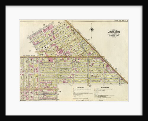
Part of Wards 27 & 28. Land Map Section, No. 11, Volume 1, Brooklyn Borough, New York City
Anonymous
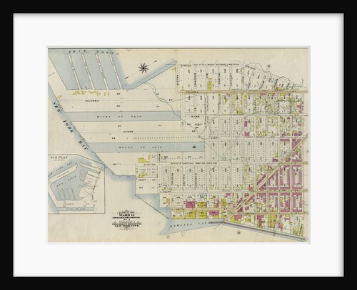
Part of Ward 12. Land Map Section, No. 2, Volume 1, Brooklyn Borough, New York City
Anonymous
Map bounded by Washington Ave., Webster Ave., Freeman Ave., Rapelje Ave., Beebe Ave., Payntar Ave., Wilbur Ave., Hunter Ave., Jackson...
Anonymous
1
2
3
…
28
Next »
Recently viewed
Clear history