☰ Menu
Images
Products
Log in
Basket:
0
items
Popular
Subjects
Artists
Collections
Art prints
Frames
Canvases
Postcards
Gift cards
Great britain map posters & prints
Showing 1 to 36 of 1000
Search these images +
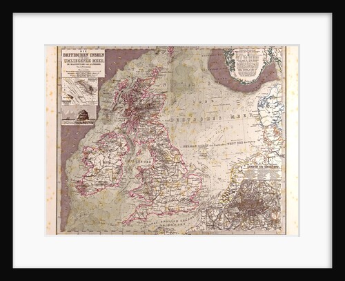
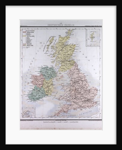
Great Britain Map 1875
Anonymous
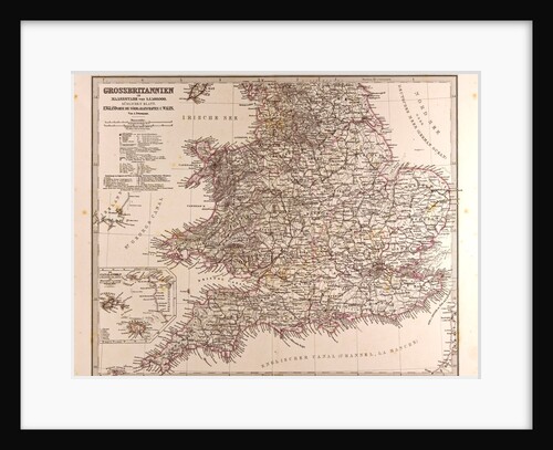
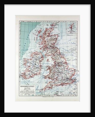
Great Britain Map 1872
Anonymous
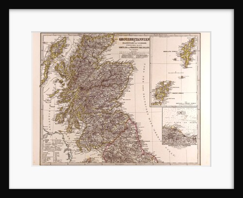
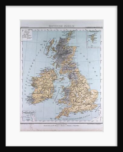
Great Britain Map Scotland 1872
Anonymous
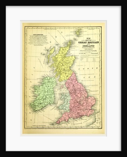
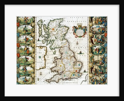
Map of Great Britain and Ireland
Anonymous
Great Britain and Ireland, antique map 1869
Th. von Liechtenstern and Henry Lange
Map of Great Britain and Ireland 1899
Anonymous
Great Britain and Ireland, antique map 1869
Th. von Liechtenstern and Henry Lange
Map of the Kingdom of Great Britain and Ireland, 1610
Jodocus Hondius
Map of Great Britain Surveyed by John Speed and Engraved by Jocodus Hondius
Anonymous
Map of Great Britain, France and Spain, 1473
Grazioso Benincasa
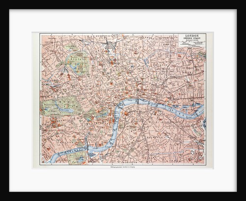
Map of the Centre of London Great Britain 1899
Anonymous
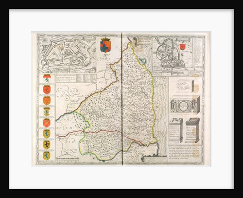
Map of Northumberland
John Speed
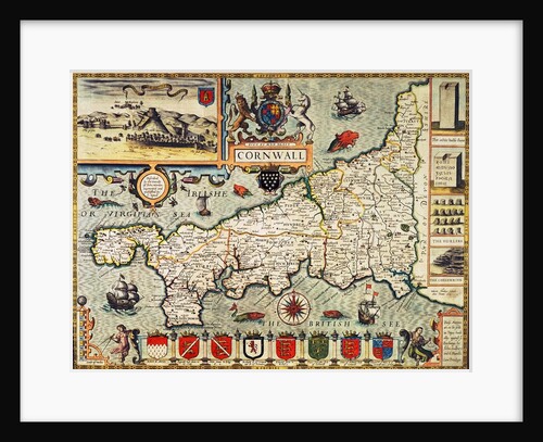
Map of Cornwall from the 'Theatre of the Empire of Great Britain', pub. in London by George Humble, 1627 edition
John Speed
Map of Britain, 1631
English School
Delineation of the Strata of England and Wales with a Part of Scotland (The first geological map of
William Smith
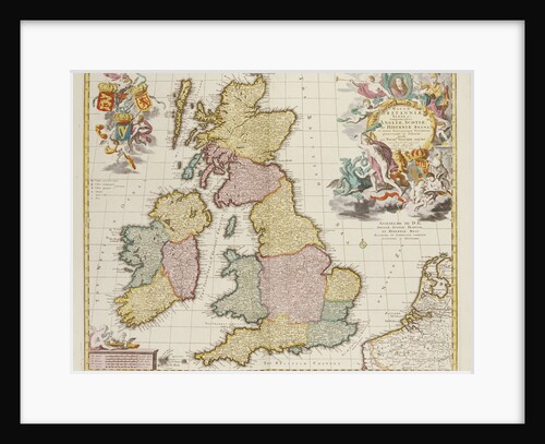
Britanniae Tabula
Pieter Schenk
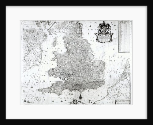
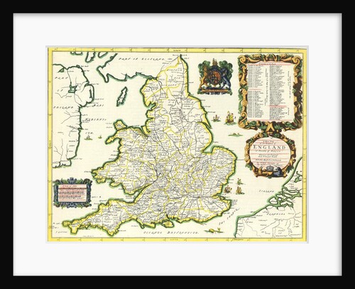
A New Map of the Kingdom of England and the Principalitie of Wales, 1669
William Berry
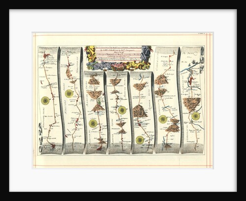
Britannia Atlas: The Continuation of the Road from London to Aberystwyth, 1675
John Ogilby
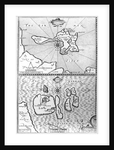
Maps of Holy Island and Farne Island, Northumberland
John Speed
The Bishoprick and City of Durham
John Speed
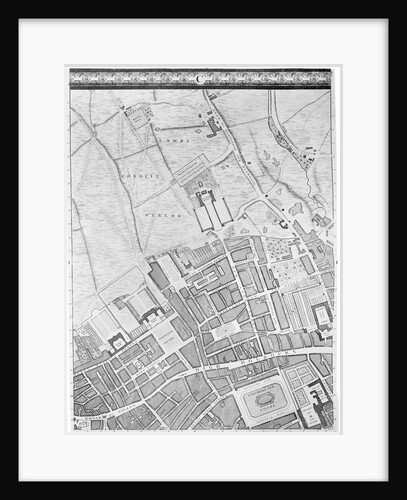
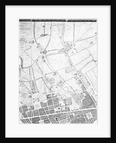
A Map of Bloomsbury and Holborn, London, 1746
John Rocque
Map of Britain in 658, produced by Stanford's Geographical Establishment
School English
Islands of Ireland and Great Britain in Northern Europe
Anonymous
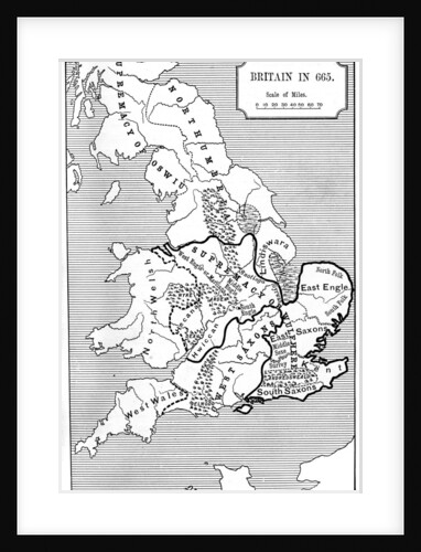
Map of Britain in 665
Anonymous
Britannia Atlas, 1675
John Ogilby
A map of New England and New York from John Speed's Theatre of the Empire of Great Britain, 1676
John Speed
A Map of the West End and Soho, London, 1746
John Rocque
John Bull and his Friends. A Serio-Comic Map of Europe
Fred W. Rose
Map of London
Anonymous
Map showing the extent of the damage caused by the Great Fire of London
Wenceslaus Hollar
Map of London
Johannes de Ram
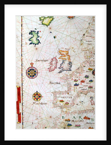
The British Isles, Iberia and Northwest Africa, detail from a world atlas, 1565
Diego Homem
Map of the European Russia, 1721
Anonymous
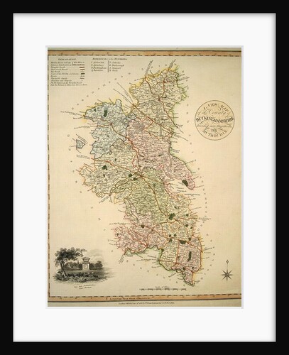
A New Map of the County of Buckinghamshire, 1816
English School
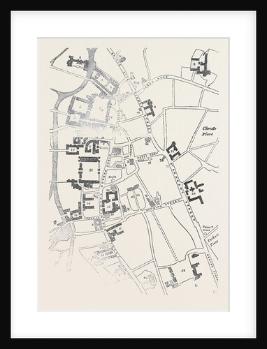
Plan of Cambridge, Great Britain
Anonymous
The West Ridinge of Yorkeshyre, engraved by Jodocus Hondius from John Speed's 'Theatre of the Empire of Great Britain', 1611-12
John (after) Speed
1
2
3
…
28
Next »
Recently viewed
Clear history