☰ Menu
Images
Products
Log in
Basket:
0
items
Popular
Subjects
Artists
Collections
Art prints
Frames
Canvases
Postcards
Gift cards
Map by richard norwood posters & prints
Showing 1 to 36 of 566
Search these images +
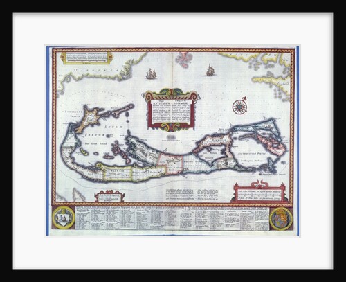
Map of Bermuda
School English
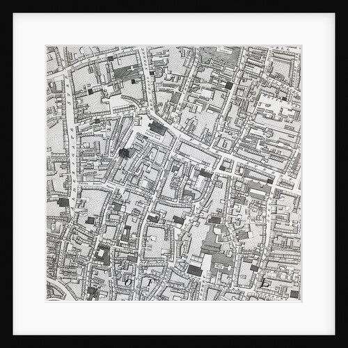
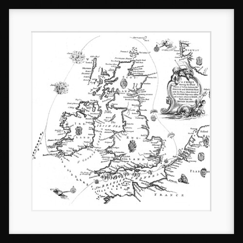
Street map of London around Guildhall, c.1795
Richard Horwood
Map bounded by Spring St., Broome St., Centre St., Pearl St
Anonymous
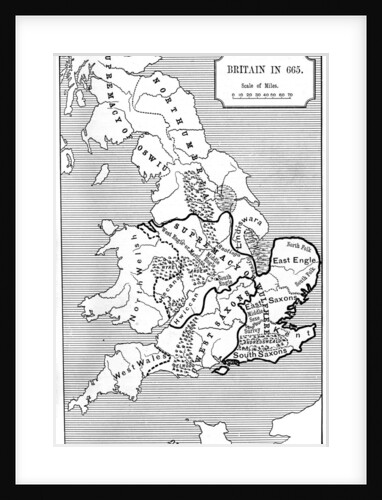
Map of Britain in 665
Anonymous
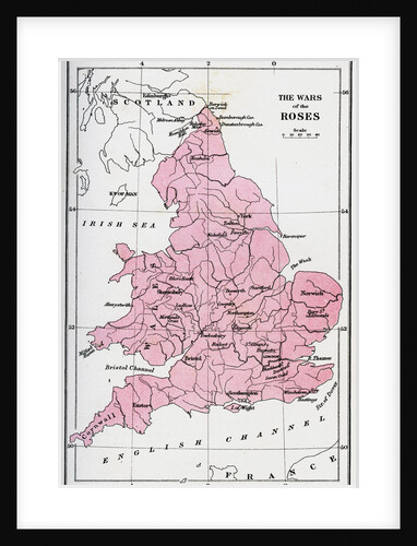
Map of the Wars of the Roses
Anonymous
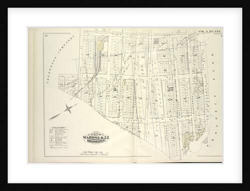
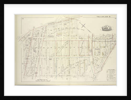
Map bound by Ninth Ave., Prospect Park, City Line, Greenwood Cemetery; Including Howard Pl., Fuller Pl., Tenth Ave., Eleventh Ave.,...
Anonymous
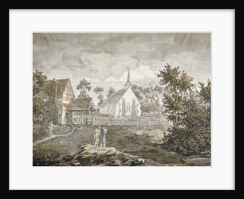
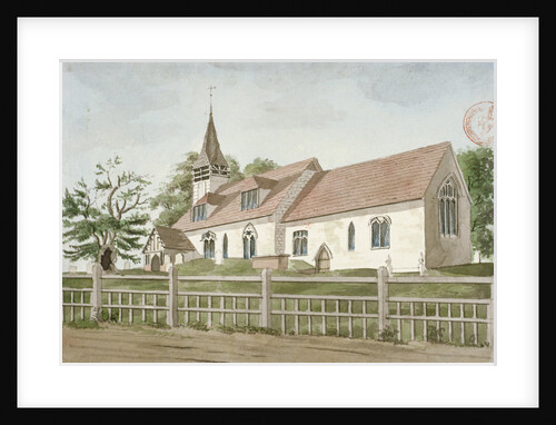
North-west view of the church of St Mary, Norwood, Middlesex
Anonymous
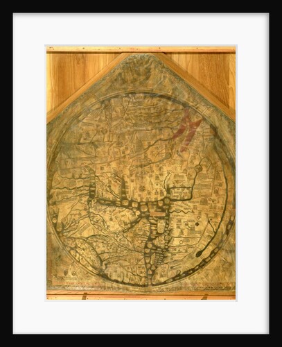
Hereford Mappa Mundi, c.1290
Richard of Haldingham
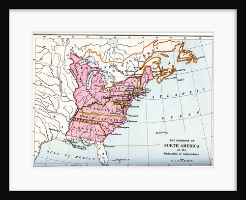
The colonies of North America at the declaration of independence
Anonymous
Chart of the Spanish Armada's course
Anonymous
Map bounded by The Strand; Cornell Ave., Clinton Ave., Mott Ave; Including Central Ave., Bay Ave., Fulton Ave., Rochester Ave.,...
Anonymous
Church of St Mary, Norwood, Middlesex
Anonymous
Nottinghamshire, map, A Topographical Dictionary of the United Kingdom
Anonymous
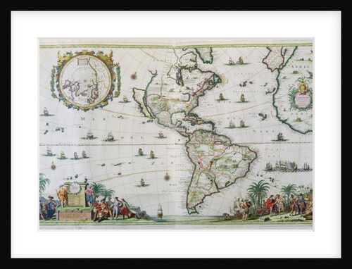
America, plate 84
Nicolaes the Younger Visscher
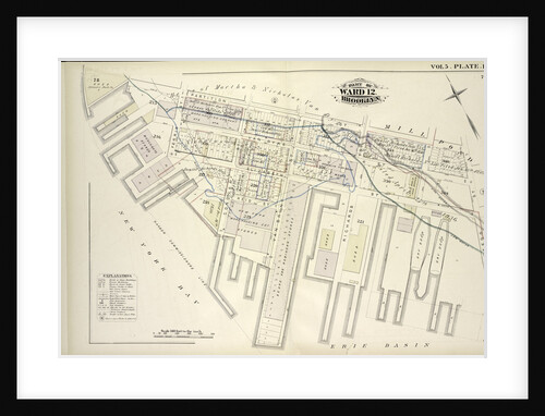
Map bound by Partition St., Otsego St., Erie Basin, New York Bay; Including Van Dyke St., Elizabeth St., Reid St.,...
Anonymous
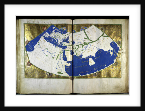
Geographia by Ptolemy, ca 1454
Anonymous master
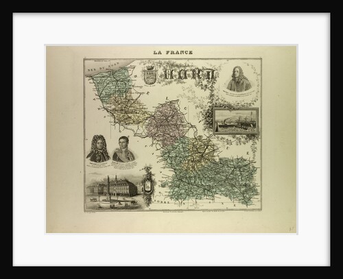
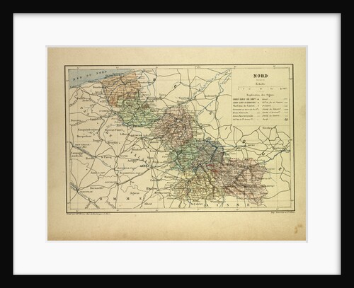
Map of the North West of France 1896
Anonymous
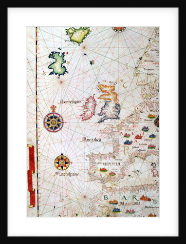
The British Isles, Iberia and Northwest Africa, detail from a world atlas, 1565
Diego Homem
Consulting Room, Norwood School treatment centre, London, 1911
Unknown
Car maintenance
Peter Stone
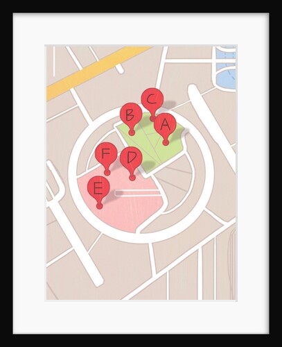
Restaurant map, 2014
A.Richard Allen
Bounded by W. 214th Street, Columbus Avenue Harlem River, W. 208th Street, Amsterdam Avenue, Ishan Street and Broadway, New York
Anonymous
Bounded by Cathedral Parkway, Amsterdam Avenue, W. 105th Street and Hudson River - Riverside Park Riverside Drive, New York
Anonymous
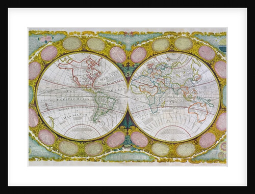
A New and Correct Map of the World, 1770-97
Robert Wilkinson
Map bounded by Madison St., Broadway, Decatur St., Ralph Ave; Including Putman St., Jefferson St., Hancock St., Halsey St., Macon...
Anonymous
Map bound by Broadway, Middleton St., Harrison Ave., Flushing Ave., Lee Ave., Keap St; Including Marcy Ave., Hooper St., Hewes...
Anonymous
Map of the North West of France
Anonymous
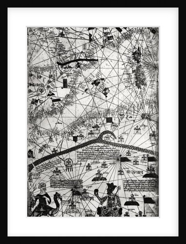
Detail from the Catalan Atlas, 1375
Abraham Cresques
The Woodman Inn, Upper Norwood, London
Anonymous
Map bounded by 11th Ave., 10th Ave., 7th Ave., 6th Ave., Linden Ave., 5th Ave., Simths Lane, 4th Ave., Lawrence...
Anonymous
Bounded by Flushing Avenue, Nostrand Avenue, De Kalb Avenue and Clinton Avenue, New York
Anonymous
Map bounded by Pueblo Ave., Mc. Laughlin, Flushing Road, Boulevard, Epsom Course, Palermo Ave., Santiago Ave., Cato Ave., Palo Alto,...
Anonymous
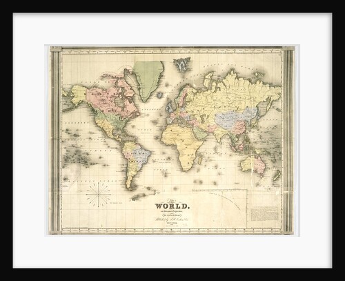
The world on Mercator's projection, 1840
David Burr
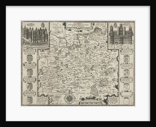
Map of Surrey
Anonymous
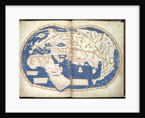
Map of the world, c. 1490
Henricus Martellus Germanus
The waiting room, Norwood School treatment centre, London, 1911
Unknown
1
2
3
…
16
Next »
Recently viewed
Clear history