☰ Menu
Images
Products
Log in
Basket:
0
items
Popular
Subjects
Artists
Collections
Art prints
Frames
Canvases
Postcards
Gift cards
Nautical chart posters & prints
Showing 1 to 36 of 1000
Search these images +
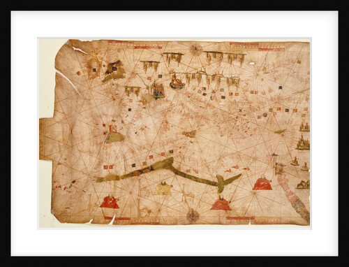
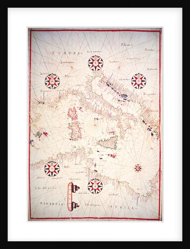
Nautical chart of the Mediterranean Sea, 1508
Anonymous
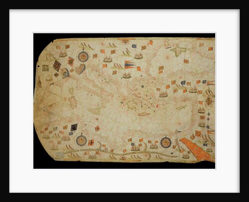
Nautical chart of the Mediterranean Sea and the Black Sea, 1440s
Pere Rossell
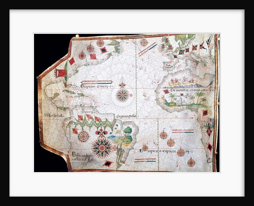
Nautical chart, 1558
Anonymous
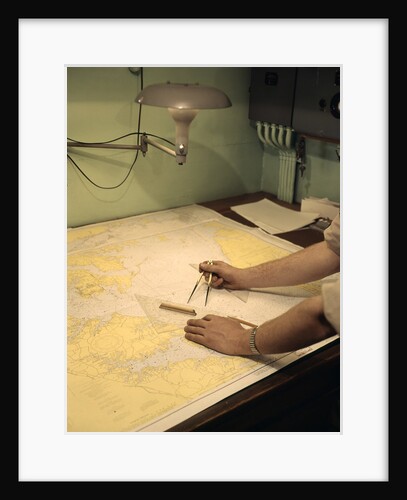
1960s Male Hands Using Nautical Navigation Tools Compass Map Chart Charting A Course
Anonymous
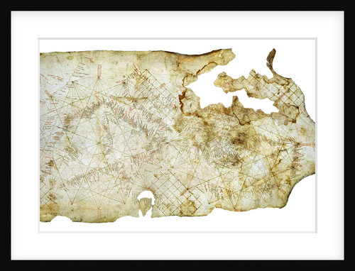
Carta Pisana, ca 1275-1300
Anonymous master
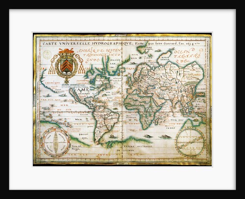
Nautical world map. (Australia is suggested but still unknown territory and, California is shown as
Anonymous
The entire Mediterranean Basin
Calopodio da Candia
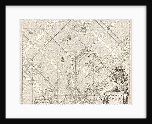
Sea chart of the Baltic and North Sea
Anonymous
Sea chart of the south coast of Cuba and Jamaica
Johannes van Keulen I
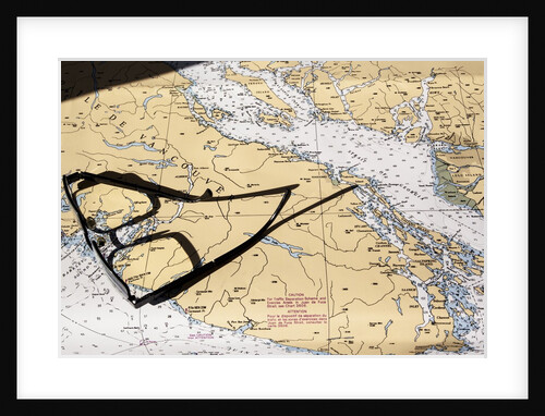
Marine Charts, BC, Canada
Anonymous
Sea chart of the coast of French Guiana
Johannes van Keulen I
Chart of the cove showing the wreck of H.M.S.Thetis
John Frederick Fitzgerald De Roos
Print of ship diagrams and nautical tools
Anonymous
Sea chart of the coast of Ireland, Scotland, England and France
Johannes van Keulen I
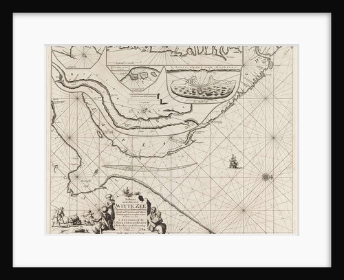
Sea chart of part of the coast of the Kola peninsula in Russia
unknown
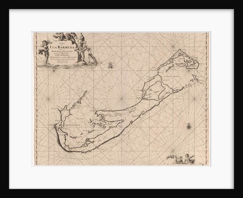
Sea chart of Bermuda
Johannes van Keulen I
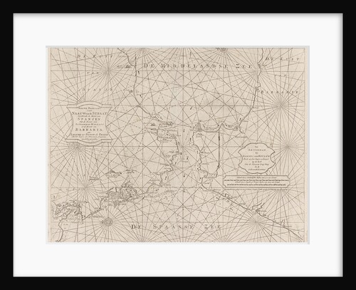
Sea chart of the Strait of Gibraltar
Johannes van Keulen II
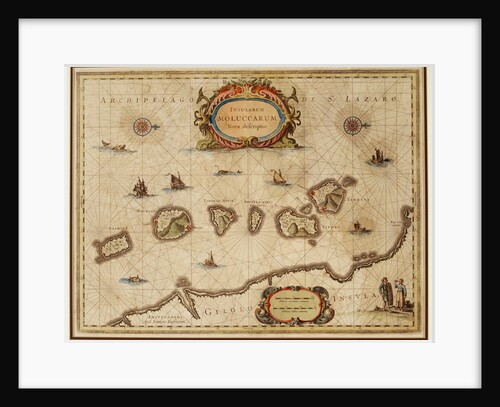
Map of the Moluccas
Anonymous
Sea chart of part of the coast of Brazil in the Most Holy Bay
Johannes van Keulen I
India and Malaysia
Battista Agnese
Sea chart of part of the south coast of Brittany
Anonymous
Sea chart of a portion of the Bay of Biscay in Bilbao
Johannes van Keulen II
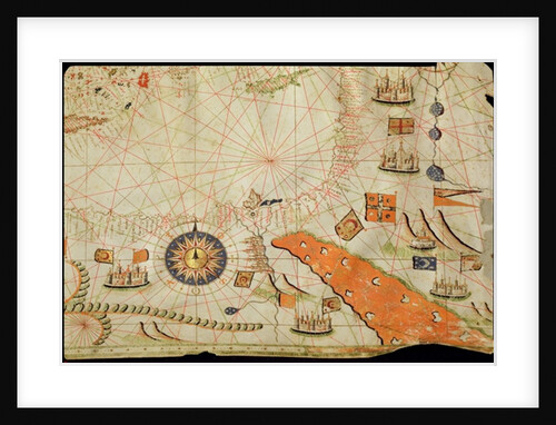
Egypt and the Red Sea
Calopodio da Candia
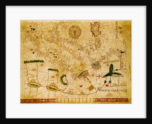
Provence and Italy
Giovanni Xenodocus da Corfu
Vellum Chart of Italy and Central Mediterranean
Oliva
The New World
Battista Agnese
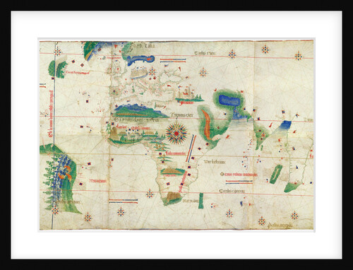
The Cantino planisphere, 1502
Anonymous master
The Selden Map of China
Chinese Master
Portrait of David Vlugh
Egbert van den Hoof
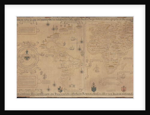
World Map (Propoganda), 1529
Diogo Ribeiro
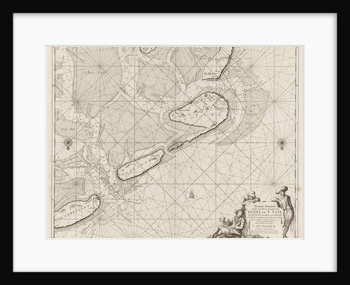
Sea chart of the Wadden Sea from Den Helder to Terschelling
Anonymous
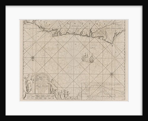
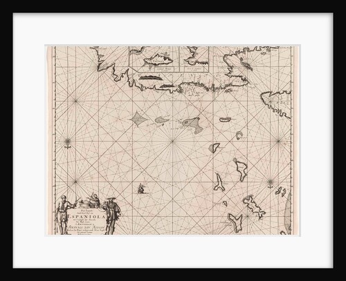
Sea chart of the north coast of Hispaniola, with two insert cards
Johannes van Keulen I
The Kingdoms of England and Scotland
Battista Agnese
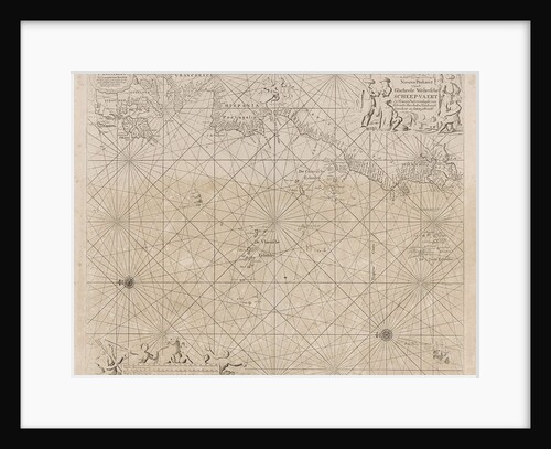
Sea chart of the Atlantic Ocean to the west coast of Europe and parts of Africa
unknown
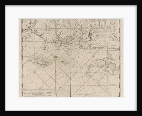
Sea chart of the coast of France between the island of Groix and the municipality of La Baule-Escoublac
Johannes van Keulen I
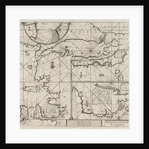
Sea chart of the northeastern part of the Aegean Sea, the Sea of Marmara and the Bosphorus
Anonymous
1
2
3
…
28
Next »
Recently viewed
Clear history