☰ Menu
Images
Products
Log in
Basket:
0
items
Popular
Subjects
Artists
Collections
Art prints
Frames
Canvases
Postcards
Gift cards
North-eastern boundary claimed posters & prints
Showing 1 to 32 of 32
Search these images +
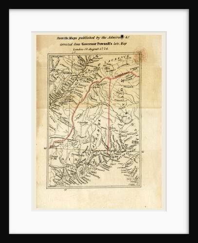
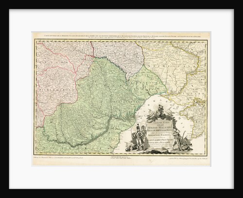
The right of the United States of America to the North-Eastern boundary claimed by them, map
Anonymous
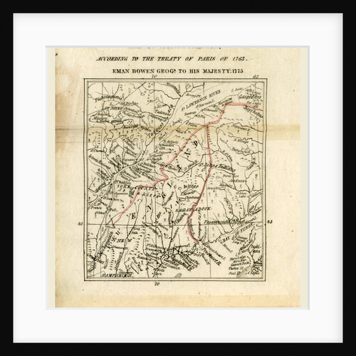
Map of North America, The right of the United States of America to the North-Eastern boundary claimed by them
Anonymous
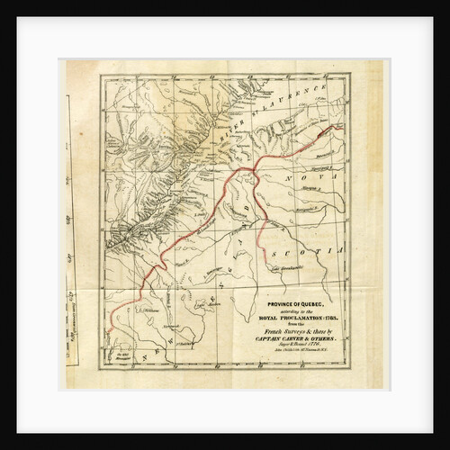
Quebec 1776, The right of the United States of America to the North-Eastern boundary claimed by them
Anonymous
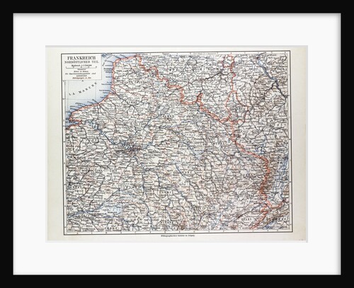
Map of the North Eastern Part of France 1899
Anonymous
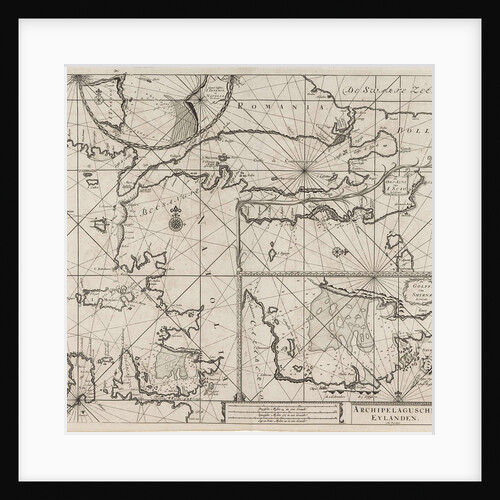
Sea chart of the northeastern part of the Aegean Sea, the Sea of Marmara and the Bosphorus
Anonymous
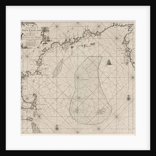
The North-East Passage Map of the Route Taken by the Nordenskjold Expedition
Anonymous
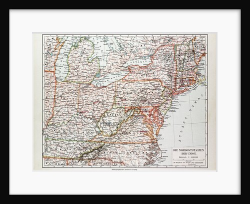
Map of the North East of the United States of America 1899
Anonymous
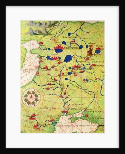
Detail from Europe and Central Asia
Battista Agnese
Map of Europe with the shift of borders in the course of the Russo-Turkish War, c. 1789
Anonymous
The Boundary Line Between the United States and Canada
Anonymous
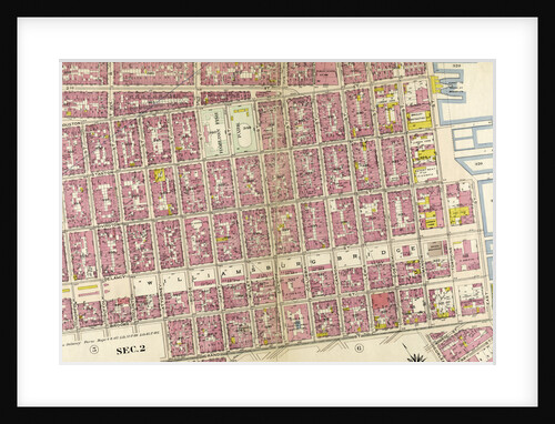
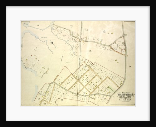
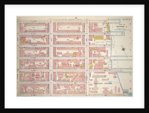
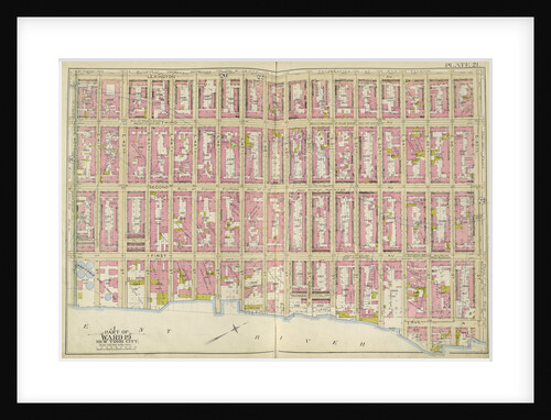
Bounded by E. 3rd Street, East River, Piers 60-64 Tompkins Street, East River, Piers 55-60 East Street, Water Street, Corlears...
Anonymous
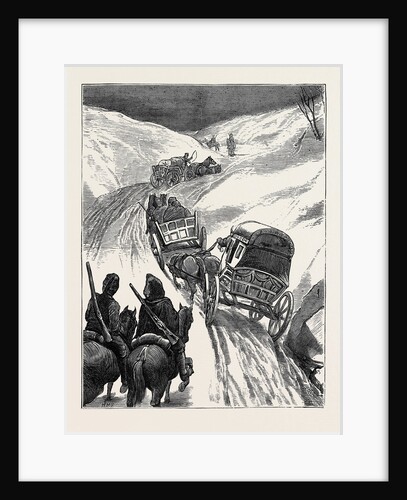
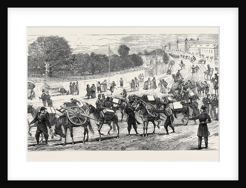
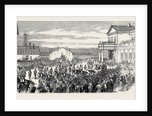
The War in the East: The Red Cross Society: Homeward Bound
Anonymous
The Eastern Question Port Sigri in Mitylene Falsely Reported to Have Been Occupied by a British Force
Anonymous
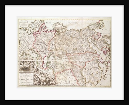
Russia, c.1725
French School
Map bounded by Boundary Line of City of New York, New York
Anonymous
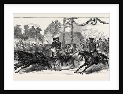
The War in the East: The Czar Passing Through the Triumphal Arch, Plojesti
Anonymous
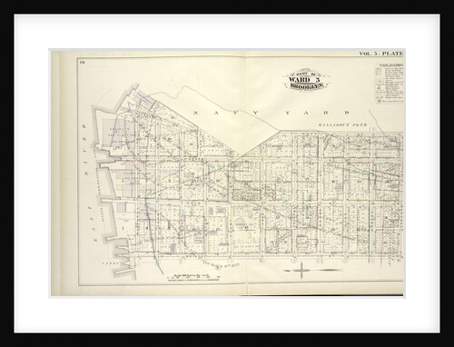
Map bound by U.S. Navy Yard, Concord St., Bridge St., East River; Including Little St., Navy St., Old Bridge RD,...
Anonymous
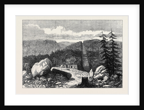
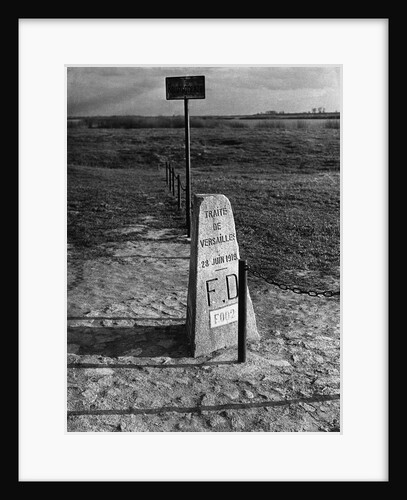
Boundary Marker, 1919
Anonymous
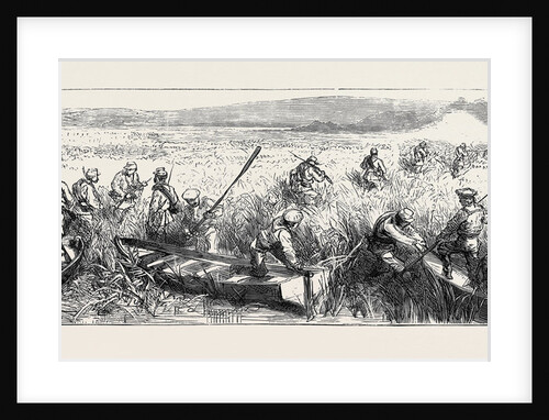
The War in the East, with the Russians on the Danube: A Picket Skirmish in the Dobrudscha, Near Galatz
Anonymous
The War in the East: Departure from Constantinople of a Turkish Mountain Battery for the Defence of the Balkans
Anonymous
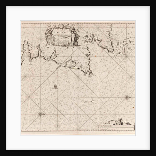
Sea chart of part of north east coast of Scotland and the Orkney Islands
Anonymous
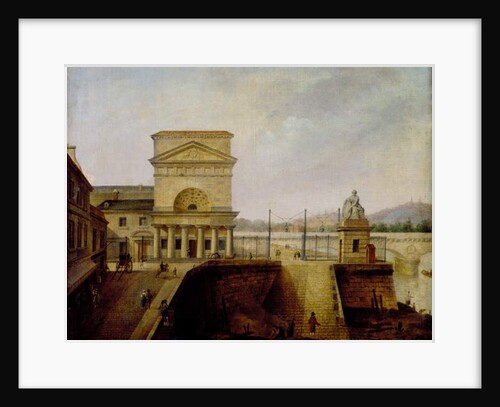
Normandy Barrier, near to the Iena Bridge, before 1860
French School
Bounded by E. 32nd Street, East River Piers First Avenue, E. 26th Street and Third Avenue, New York
Anonymous
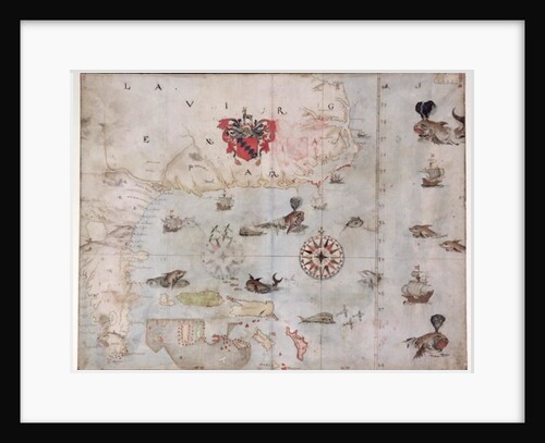
Map of Eastern North America: Florida to Chesapeake Bay
John White
Sea chart of part of the east coast of the United States USA and Canada
Johannes van Keulen I
The War in the East: View of Varna, on the Black Sea
Anonymous
Map bounded by East 32nd Street, East River, East 26th Street, Second Avenue. 1857
Anonymous
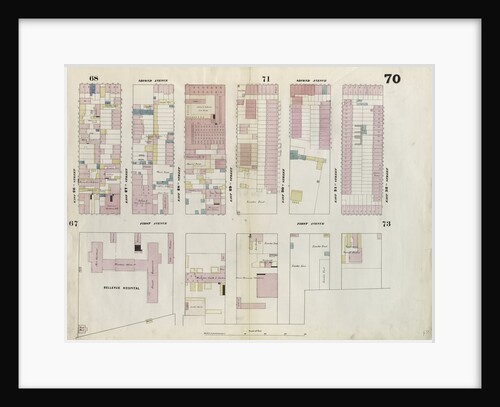
Map bounded by Lexington Ave., E. 57th St., East River, E. 40th St., New York
Anonymous
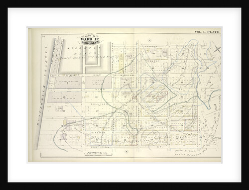
Map bound by Atlantic Basin, Verona St., Columbia St., Otsego St., Partition St., Buttermilk Channel; Including Tremont St., Clinton Wharf
Anonymous
The War in the East, Arrival at Bucharest of the Grand Duke Nicholas, Commander-in-Chief of the Russian Forces
Anonymous
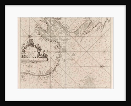
Sea chart of the east coast of England, with the mouth of the Humber
Anonymous
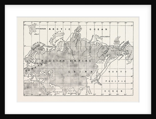
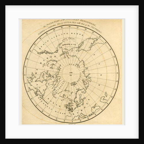
Map Northern Hemisphere 1824
Anonymous
Recently viewed
Clear history