☰ Menu
Images
Products
Log in
Basket:
0
items
Popular
Subjects
Artists
Collections
Art prints
Frames
Canvases
Postcards
Gift cards
Part of ward 27 posters & prints
Showing 1 to 36 of 701
Search these images +
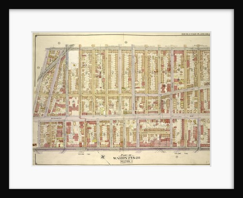
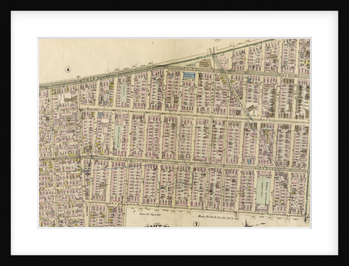
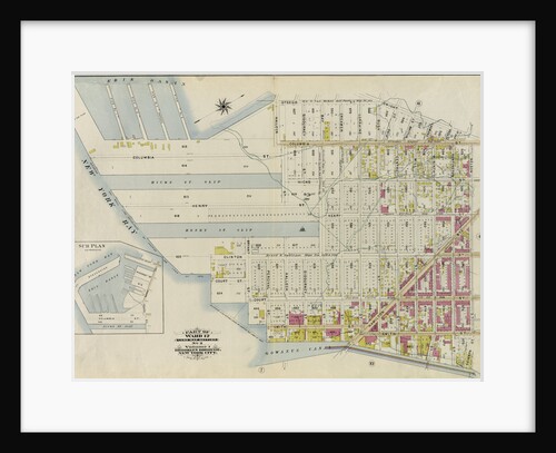
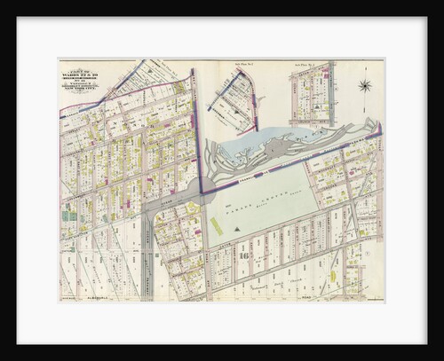
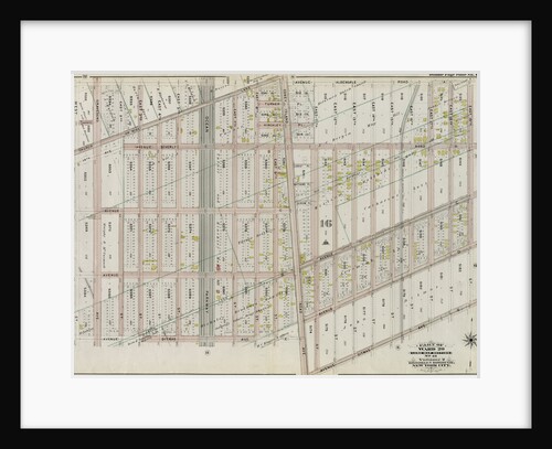
Part of Wards 27 & 28. Land Map Section, No. 11, Volume 1, Brooklyn Borough, New York City
Anonymous
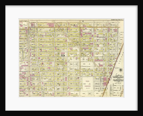
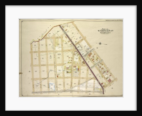
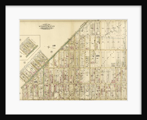
Part of Wards 18 & 27. Land Map Sections, Nos. 18 & 27. Volume 1, Brooklyn Borough, New York City
Anonymous
Map bounded by Boundry Line of Borough of Brooklyn and Queens, Ralph St., St.Nicholas Ave; Including Stanhope St., Irving Ave.,...
Anonymous
Map bounded by Central Ave., Palmetto St; Including Broadway, Lawton St., Hart St., New York
Anonymous
Map bounded by Newtown Creek, Troutman St; Including Irving Ave., Varick Ave., Stagg St., New York
Anonymous
Map bounded by 75th St., Ridge Blvd; Including 83rd St., Bay Ridge Parkway, New York
Anonymous
Map bounded by Albany Ave., East New York Ave. Old Earl St; IncludingNew York Ave., St. Johns PL. Douglass St.,...
Anonymous
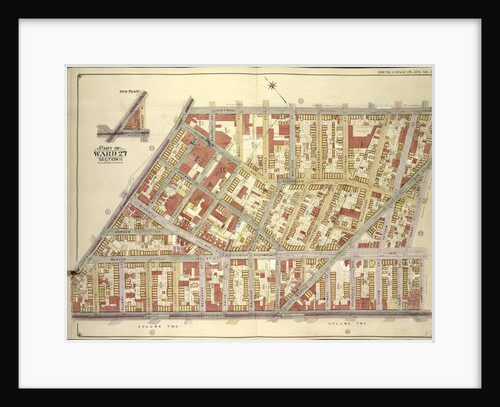
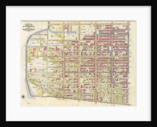
Part of Ward 17, New York City
Anonymous
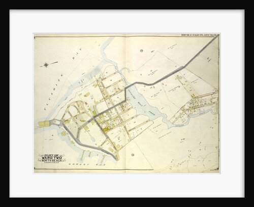
Map bounded by Flushing Ave., Broadway, Sumner Pl., New York
Anonymous
A ward at Orchard House, Claybury Hospital, Woodford Bridge, London, 1937
Unknown
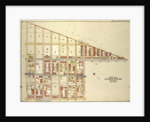
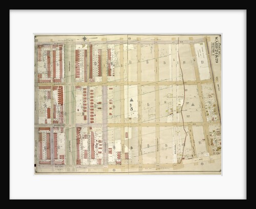
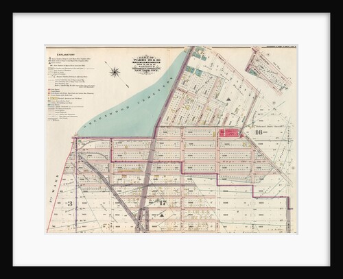
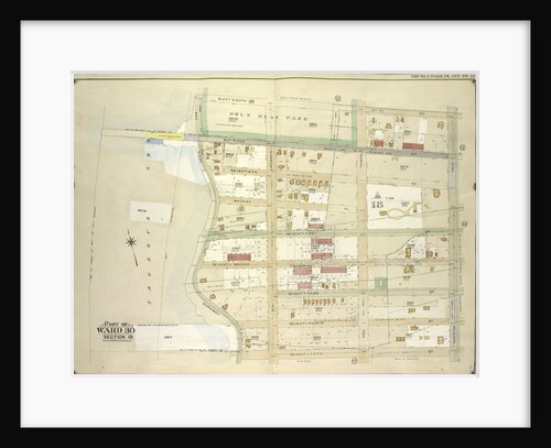
Part of Wards 29 & 30, Land Map Sections, Nos. 3, 16 & 17, Volume 2, Brooklyn Borough, New York...
Anonymous
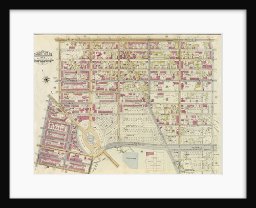
Part of Ward 12, New York City
Anonymous
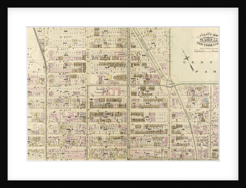
Part of Ward 22, New York City
Anonymous
Part of Wards 9, 22 . Land Map Section, No. 4, Volume 1, Brooklyn Borough, New York City
Anonymous
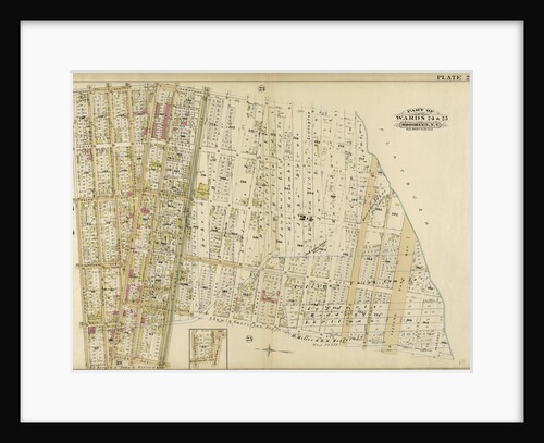
Part of Ward 24 & 25. Brooklyn, N.Y
Anonymous
Part of Ward 12, New York City
Anonymous
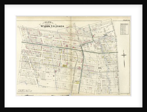
Part of Wards 7, 9, 23 & 24, New York
Anonymous
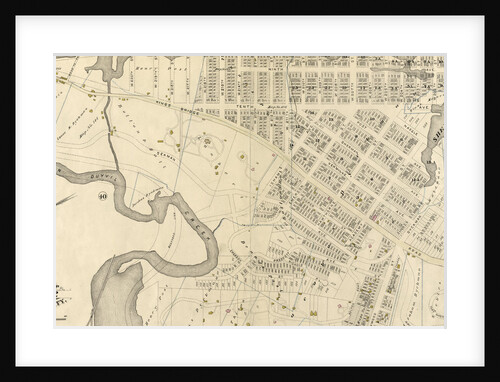
Map bounded by Middleburg Ave., Woodside Ave., Celtic Highway to Calvary Cemetery Ave., Bushwick and Newtown Turnpike, New York
Anonymous
Part of Ward 22, New York City
Anonymous
Part of Ward 12. Land Map Section, No. 2, Volume 1, Brooklyn Borough, New York City
Anonymous
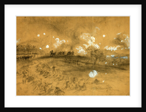
Part of Ward's line, Kershaw attacking
Alfred R Waud
Part of Ward 22. Land Map Section, No. 4, Volume 1, Brooklyn Borough, New York City
Anonymous
Part of Wards 22 & 29. Land Map Section, No. 16. Volume 2, Brooklyn Borough, New York City
Anonymous
Map bounded by 68th St., Ridge Blvd; Including 75th St., Bay Ridge Parkway, New York
Anonymous
Part of Wards 18, 21 & 25. Brooklyn, N.Y
Anonymous
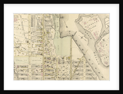
Map bounded by W. 32nd St., Atlantic Ocean, Beach 40th St; Including Surf Ave., Seagate Ave., Bay View Ave., Gravesend...
Anonymous
Part of Ward 12, New York City
Anonymous
Part of Ward 12, New York City
Anonymous
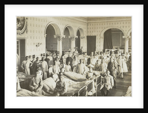
Ward of a military hospital
Anonymous
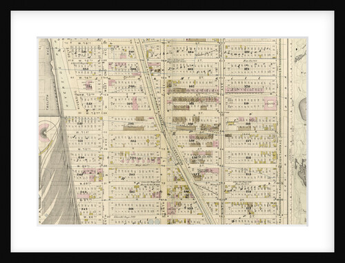
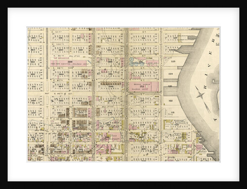
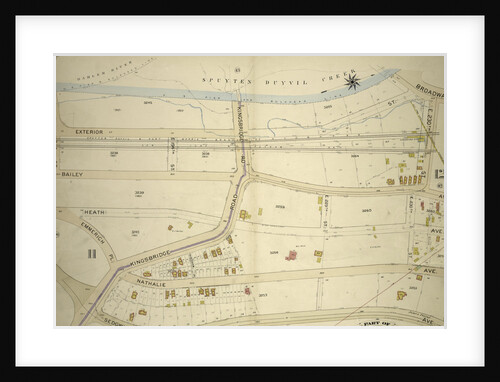
Part of Ward 24, Sections 11&12. Bounded by Broadway, E. 230th Street, Bailey Avenue, Boston Avenue, Sedgwick Avenue, Kingsbridge Rpad....
Anonymous
Map bounded by Morris Greek, Caugeway, Vanwycks Lane, North Boulevard, Avenue G, Avenue F, Avenue D, Avenue C, East Boulevard,...
Anonymous
Part of Wards 6 & 12. Brooklyn, N.Y
Anonymous
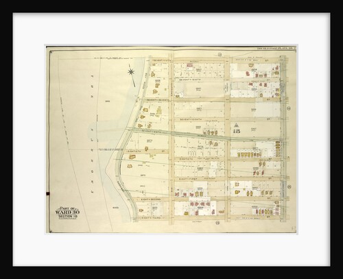
Part of Ward 29. Land Map Section, No. 16. Volume 2, Brooklyn Borough, New York City
Anonymous
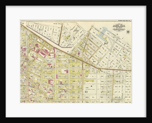
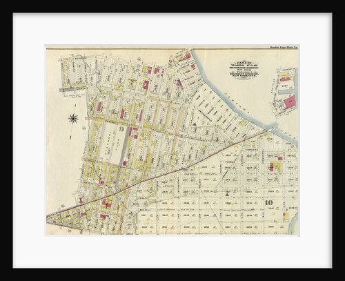
Part of Wards 17 & 18. Land Map Sections, No. 9 & 10, Volume 1, Brooklyn Borough, New York City
Anonymous
Map bounded by Flushing Bay, Beach St., Jackson Creek, Old Bowery Road, Astoria and Flushing Turnpike; Including Bowery Bay, Grand...
Anonymous
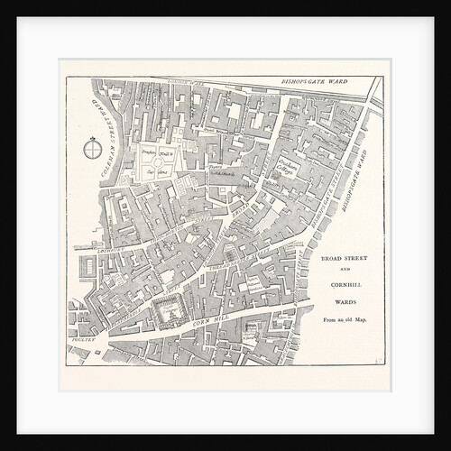
Broad Street and Cornhill Wards from a Map of 1750 London
Anonymous
1
2
3
…
20
Next »
Recently viewed
Clear history