☰ Menu
Images
Products
Log in
Basket:
0
items
Popular
Subjects
Artists
Collections
Art prints
Frames
Canvases
Postcards
Gift cards
Part of ward 29 land map sections posters & prints
Showing 1 to 36 of 326
Search these images +
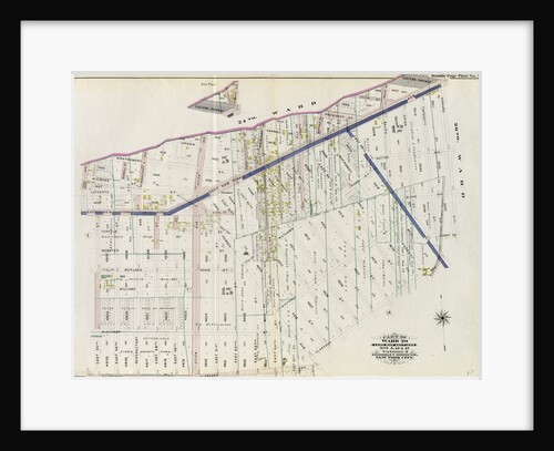
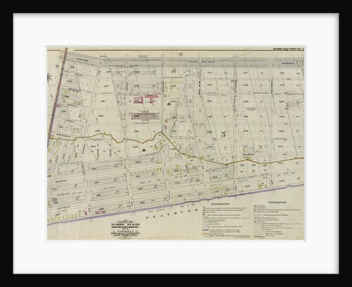
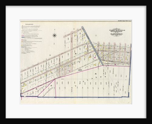
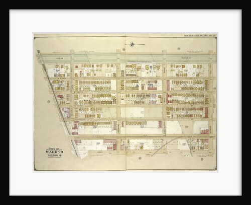
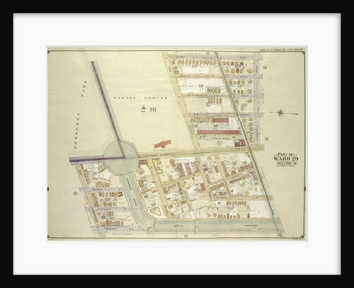
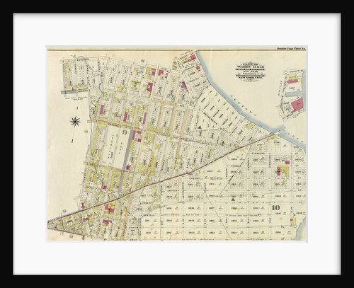
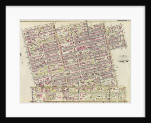
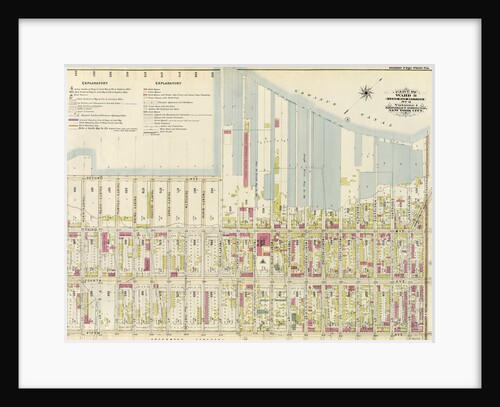
Part of Ward 29. Land Map Sections, Nos. 5, 12, & 15. Volume 2, Brooklyn Borough, New York City
Anonymous
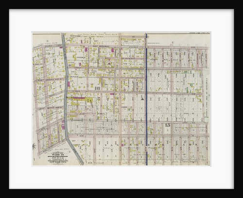
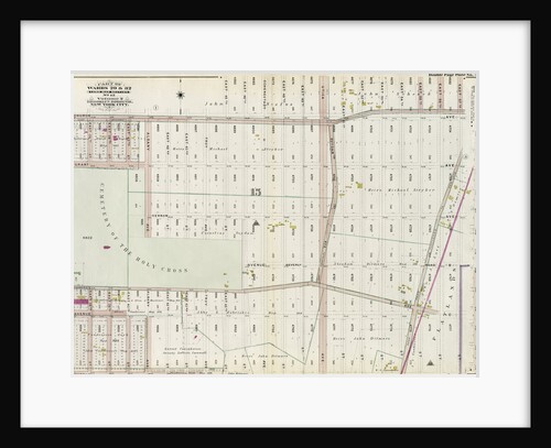
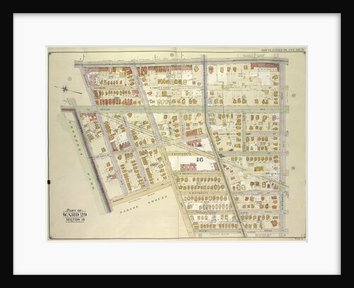
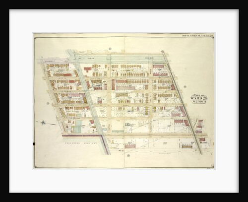
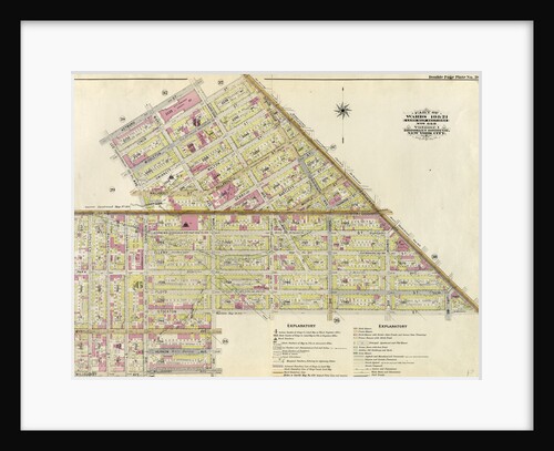
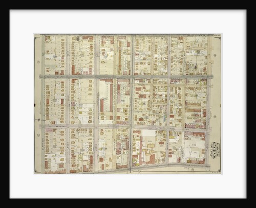
Part of Ward 29. Land Map Sections, Nos. 15, & 16. Volume 2, Brooklyn Borough, New York City
Anonymous
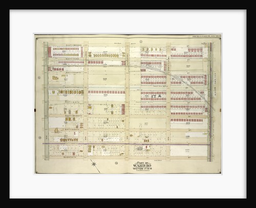
Part of Wards 29 & 30, Land Map Sections, Nos. 3, 16 & 17, Volume 2, Brooklyn Borough, New York...
Anonymous
Part of Wards 22 & 29. Land Map Section, No. 16. Volume 2, Brooklyn Borough, New York City
Anonymous
Part of Wards 24 & 29. Land Map Section, No. 5, Volume 1, Brooklyn Borough, New York City
Anonymous
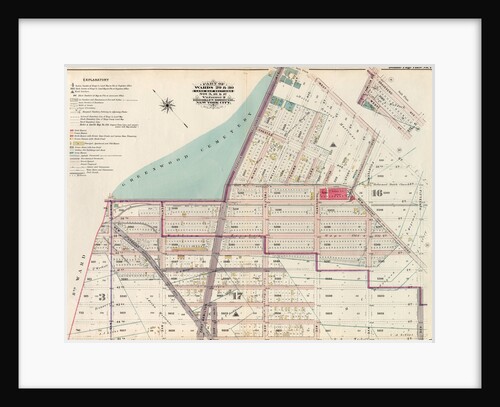
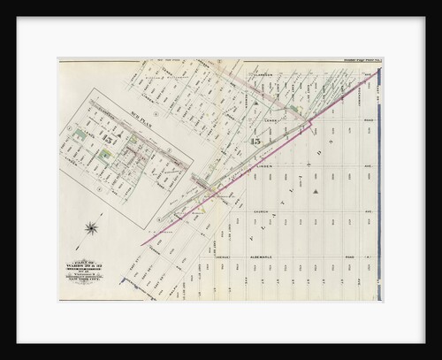
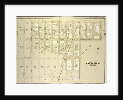
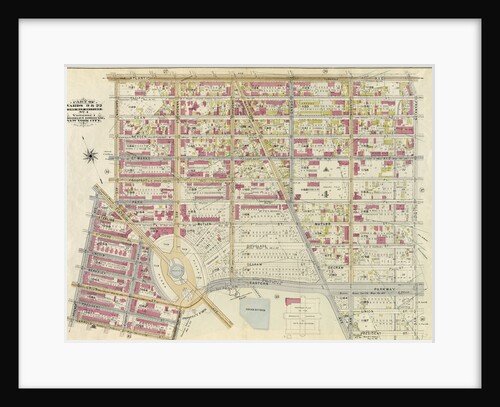
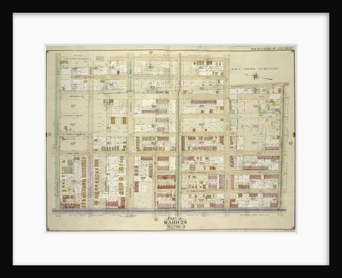
Part of Wards 29 & 32, Land Map Section, No. 15. Volume 2, Brooklyn Borough, New York City
Anonymous
Part of Wards 29 & 32, Land Map Section, No. 15. Volume 2, Brooklyn Borough, New York City
Anonymous
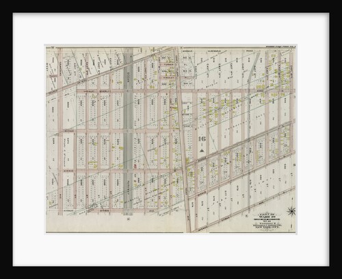
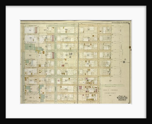
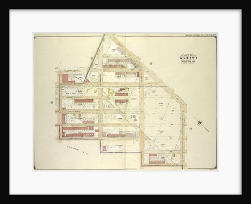
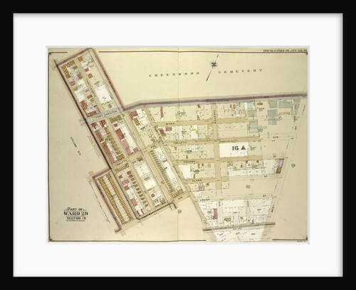
Part of Ward 29. Land Map Section, No. 16. Volume 2, Brooklyn Borough, New York City
Anonymous
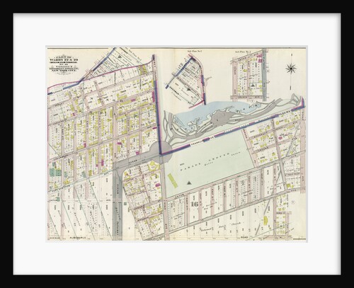
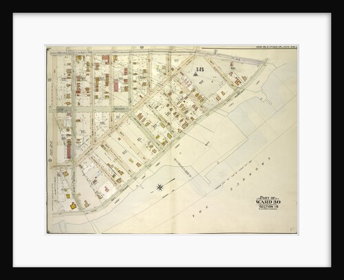
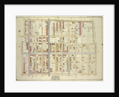
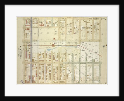
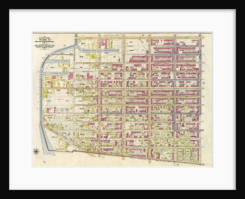
Part of Wards 29, 30, 31 & 32, Land Map Section, No. 16. Volume 2, Brooklyn Borough, New York City
Anonymous
Map bounded by Argyle Road, Cortelyou Road, Ocean Parkway; Including Church Lane, Albemarle Road., New York
Anonymous
Map bounded by Flatbush Ave., Albemarle Road Avenue A, Rugby Road E. 14th St; Including Caton Ave. Johnson Ave., Parade...
Anonymous
Map bounded by Tilden Ave., Ralph Ave., Beverley Road Avenue B; Including E. 57th St., Avenue D, E. 48th St.,...
Anonymous
Map bounded by 3rd Ave., Bay Ridge Parkway; Including 91st St., New York
Anonymous
Map bounded byOcean Parkway, Ditmas Ave; Including West St., Church Lane., New York
Anonymous
Map bounded by Ocean Parkway, Church Lane, West St., Fort Hamilton Ave; Including Gravesend Ave., Greenwood Ave., Prospect Ave., New...
Anonymous
Map bounded by Schenectady Ave., Tilden Ave. Vernon Ave; Including Snyder Ave., E. 38th St., Clarkson Ave., New York
Anonymous
Map bounded by Tilden Ave., Canarsie Ave., E. 37th St; Including Avenue D, E. 26th St., Prospect St., New York
Anonymous
Map bounded by Rugby Road E. 14th St., Albemarle Road Avenue A, Church Ave., Church Lane, Ocean Parkway; Including Prospect...
Anonymous
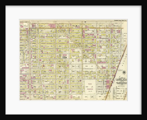
Part of Wards 19 & 21. Land Map Sections, No. 6 & 8, Volume 1, Brooklyn Borough, New York City
Anonymous
Map bounded by West St., 16th Ave., 43rd St., 42nd St; Including 41st St., 13th Ave., 36th St., Church Lane,...
Anonymous
Map bounded by Avenue D, E. 40th St; Including Glenwood Road, E. 29th St., New York
Anonymous
Part of Wards 17 & 18. Land Map Sections, No. 9 & 10, Volume 1, Brooklyn Borough, New York City
Anonymous
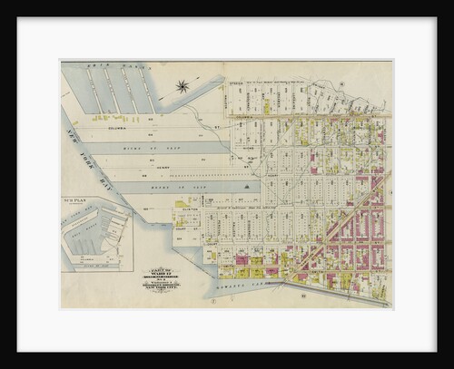
Part of Ward 12. Land Map Section, No. 2, Volume 1, Brooklyn Borough, New York City
Anonymous
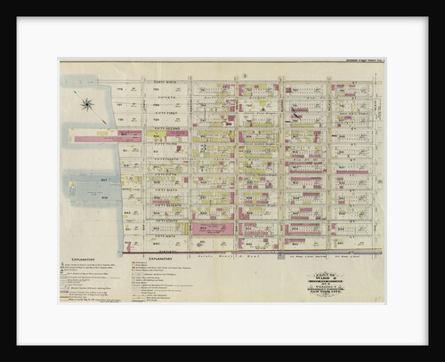
Part of Wards 27 & 28. Land Map Section, No. 11, Volume 1, Brooklyn Borough, New York City
Anonymous
Part of Wards 9, 22 . Land Map Section, No. 4, Volume 1, Brooklyn Borough, New York City
Anonymous
Part of Ward 23. Land Map Section, No. 6, Volume 1, Brooklyn Borough, New York City
Anonymous
Map bounded by 37th Ave. Franklin Blvd., West St., 14th Ave., 36th St; Including 13th Ave., 14th St., 39th St.,...
Anonymous
Map bounded by Nostrand Ave., Tilden Ave. Vernon Ave; Including Flatbush Ave., Clarkson Ave., New York
Anonymous
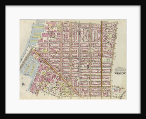
Part of Wards 6,10 & 12. Land Map Section, No. 2, Volume 1, Brooklyn Borough, New York City
Anonymous
Map bounded by 62nd St., 22nd Ave; Including 70th St., 18th Ave., New York
Anonymous
Part of Ward 22. Land Map Section, No. 4, Volume 1, Brooklyn Borough, New York City
Anonymous
Map bounded by Remsen Ave., E. 57t., New York
Anonymous
Part of Ward 8. Land Map Section, No. 3, Volume 1, Brooklyn Borough, New York City
Anonymous
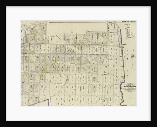
Part of Ward 26. Land Map Section, No. 13. Volume 1, Brooklyn Borough, New York City
Anonymous
Part of Ward 8. Land Map Section, No. 3, Volume 1, Brooklyn Borough, New York City
Anonymous
Map bounded by E. 38th St., Canarsie Ave., Tilden Ave. Vernon Ave; Including Nostrand Ave., Clarkson Ave., New York
Anonymous
1
2
3
…
10
Next »
Recently viewed
Clear history