☰ Menu
Images
Products
Log in
Basket:
0
items
Popular
Subjects
Artists
Collections
Art prints
Frames
Canvases
Postcards
Gift cards
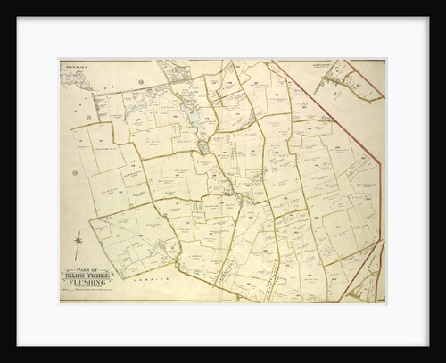
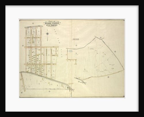
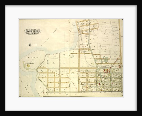
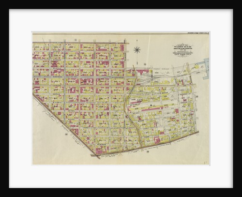
Part of ward three sub plan no 1 posters & prints
Showing 1 to 36 of 442
Search these images +
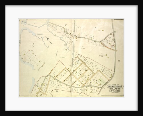
Map bounded by Little Neck Bay, New York
Anonymous
Map bounded by Rockaway Plank road, Three Mile Mill Road, Old South Road; Including Smith St., Sidney St., Lewis St.,...
Anonymous
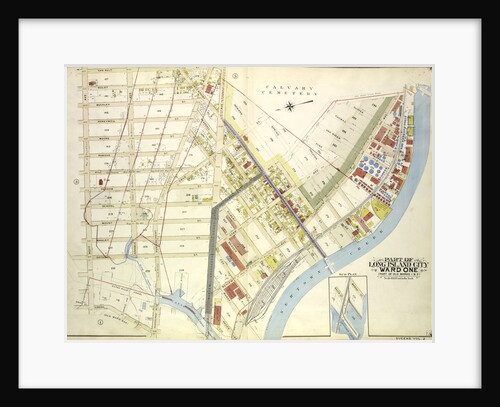
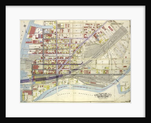
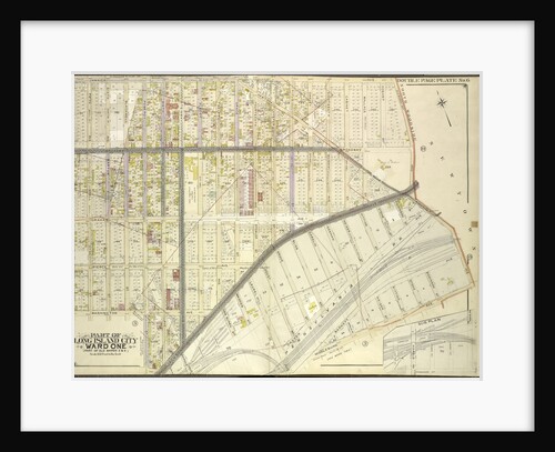
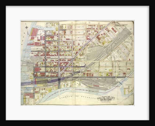
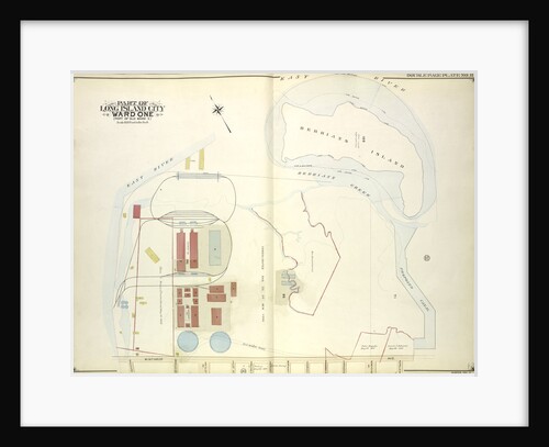
Map bounded by Water St., Marsh St., Proposed Canal; Part of Long Island City Ward One Part of Old Wards...
Anonymous
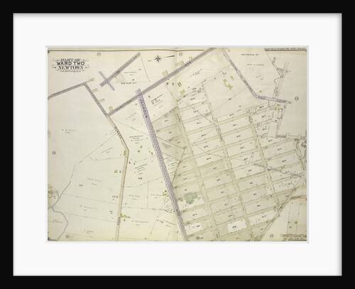
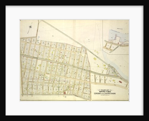
Map bounded by Flushing and Newtown Road; Including Junction Ave; Part of Ward Two Newtown; Old Bowery Road, Old Junction...
Anonymous
Map bounded by Old Bowery Road, Flushing and Astoria Road, Coddington PL; Including Park Ave., Lent St., Flushing Turnpike, Junction...
Anonymous
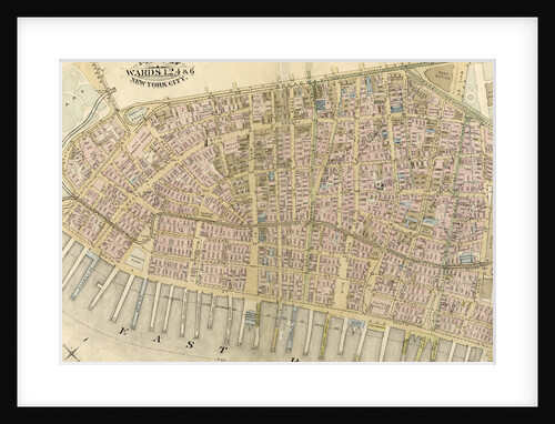
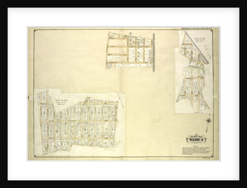
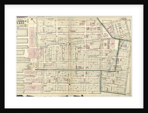
Part of Wards 1,2,4 & 6, New York City
Anonymous
Map bounded by Terrace Ave., Ocean View Ave., K., New York
Anonymous
Map bounded by Pier St., River St., Front St., Newtown Creek; Part of Long Island City Ward One Part of...
Anonymous
Map bounded by Boundry line of borough of Brooklyn and Queens, Schaeffer St., Kinckerbocker Ave; Including Palmetto St., Myrtle Ave;...
Anonymous
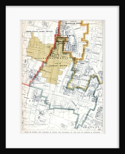
Plan of the Wards and Parishes in Which the Guildhall of the City of London is Situated
Anonymous
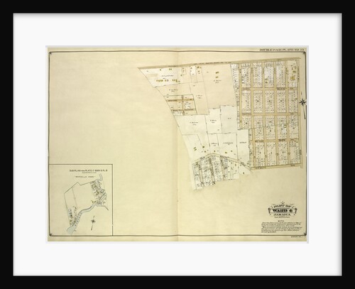
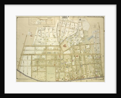
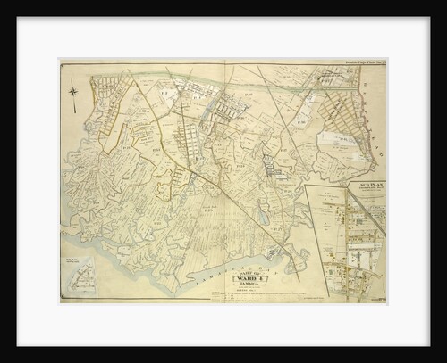
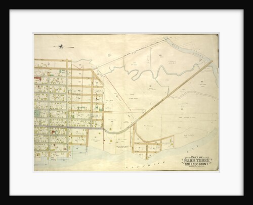
Map bounded by Conduit Long Island R.R., Boundary Line Of The City of New York; Including Hook Canal Creek, Jamaica...
Anonymous
Map bounded by Metropolis Ave., Mill St., Vansicklen Ave., Sutter Ave., Chestnut St; Including Metropolis Ave., Grant Ave., Rockaway Plank...
Anonymous
Map bounded by New York and Rockaway Beach R.R., Road to Remsens Landing, New York
Anonymous
Map bounded by Norman Ave., Bridgewater St., Vandam St., Newtown Creek Including Stewart St., Lombardy St., Engert Ave. van Pelt...
Anonymous
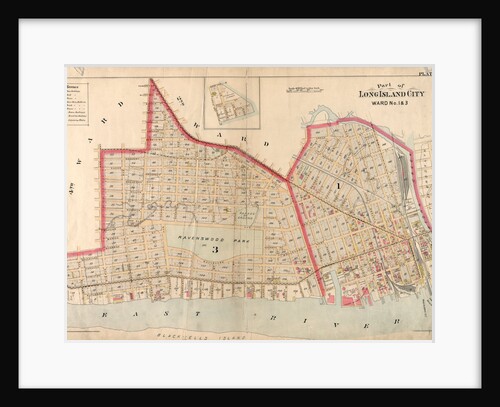
Part of Long Island City, Ward No. 1 & 3, New York
Anonymous
Map bounded by Bayside Ave., Myrtle Ave., Mitchell Ave., Hildreth Pl., Broadway; Including Murray St., 13th St., 14th St., 15th...
Anonymous
Map bounded by Harold Ave., Middleburg Ave; Including Bragaw St., Lowery St., Van Buren St., Van Pelt St; Part of...
Anonymous
Map bounded by Boundary Line of City of New York, New York
Anonymous
Map bounded by W. 32nd St., Atlantic Ocean, Beach 40th St; Including Surf Ave., Seagate Ave., Bay View Ave., Gravesend...
Anonymous
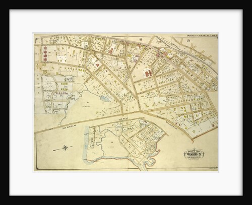
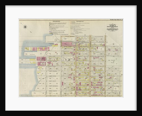
Part of Wards 1, 3, 4, & 6. City of Brooklyn, New York
Anonymous
Map bounded by Remsen Ave., E. 57t., New York
Anonymous
Map bounded by Highland Blvd., Mil., New York
Anonymous
Map bounded by Divison St., Vernon Ave., 12th St., Ely Ave., Homson Ave., Jackson Ave., Nott Ave., Creek Ave., Dutch...
Anonymous
Map bounded by Jarvis Lane, Oak St., New York
Anonymous
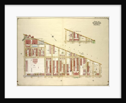
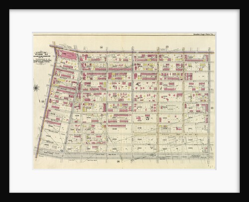
Part of Ward 24. Land Map Section, No. 5, Volume 1, Brooklyn Borough, New York City
Anonymous
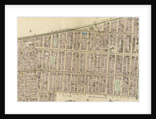
Map bounded by Fifth Ave., Sixth Ave., Seventh Ave., Eighth Ave., East Eighth Ave., East Ninth Ave., E. 10th Ave.,...
Anonymous
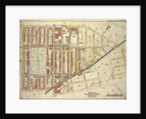
Part of Ward 17, New York City
Anonymous
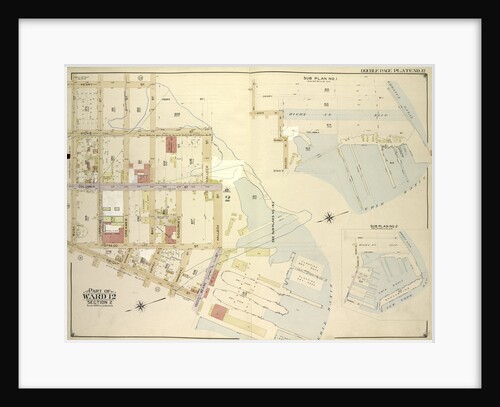
Part of Ward 12, New York City
Anonymous
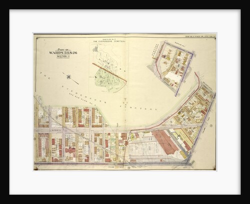
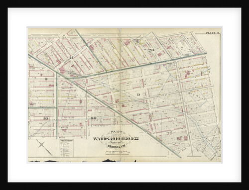
Part of Wards 3, 9, 10, 11, 20 & 22. City of Brooklyn, New York
Anonymous
Map bounded by 14th Ave., Haggertys Lane, 11th Ave., Clinton Pl., Cryders Lane, 10th Ave., 9th Ave., 8th Ave., 7th...
Anonymous
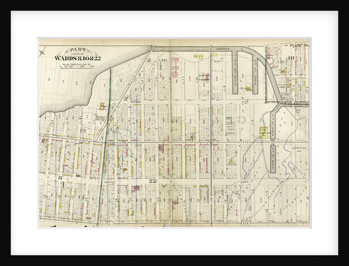
Part of Wards 8, 10, & 22, New York
Anonymous
Map bounded by East River, Berrians Island, Berrians Creek, Proposed Canal, Rapelje Ave., Debevoise Ave., Lawrence St., chauncey St., Goodric.,...
Anonymous
Map bounded by Morris Greek, Caugeway, Vanwycks Lane, North Boulevard, Avenue G, Avenue F, Avenue D, Avenue C, East Boulevard,...
Anonymous
Map bounded by Bay St., New York
Anonymous
Part of Ward 8. Land Map Section, No. 3, Volume 1, Brooklyn Borough, New York City
Anonymous
Part of Wards 16 & 18. Land Map Section, No. 10, Volume 1, Brooklyn Borough, New York City
Anonymous
1
2
3
…
13
Next »
Recently viewed
Clear history