☰ Menu
Images
Products
Log in
Basket:
0
items
Popular
Subjects
Artists
Collections
Art prints
Frames
Canvases
Postcards
Gift cards
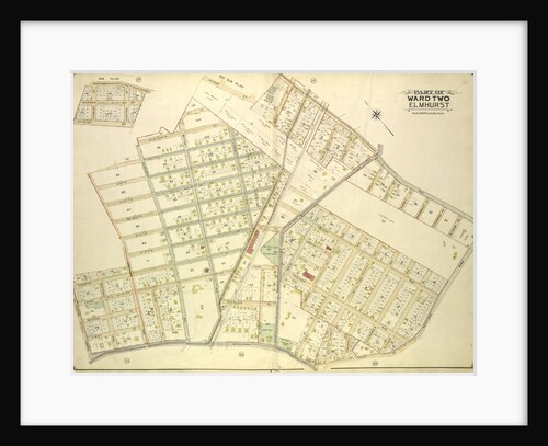
Part of ward two north beach posters & prints
Showing 1 to 36 of 305
Search these images +
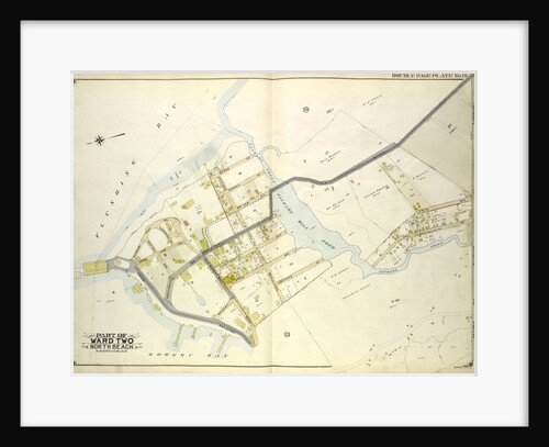
Map bounded by Flushing Bay, Beach St., Jackson Creek, Old Bowery Road, Astoria and Flushing Turnpike; Including Bowery Bay, Grand...
Anonymous
Map bounded by Court St., Marlowe Ave., Romolus St., Otis Ave., Rehan PL; Including North Hempstead Plank Road, Astoria Road,...
Anonymous
Map bounded by north Hempstead Plank Road, Livingstone St; Including Hoffman Boulevard, White Pot Road, Astoria Road, New York
Anonymous
Map bounded by Metropolitan Ave. Williams Burg Turnpike, Ward Boundary line between Newtown and Jamaica, Myrtle Ave., Trotting Course Lane,...
Anonymous
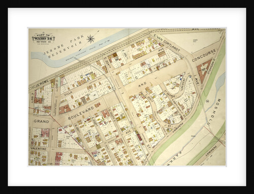
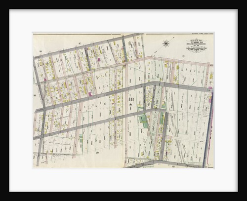
Part of Ward 24, Section 12. Bounded by Jerome Avenue, Mosholu Parkway North, Briggs Avenue and E. 199th Street, New...
Anonymous
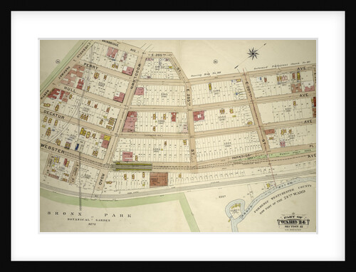
Part of Ward 24, Section 12. Bounded by Bainbridge Avenue, E. 205th Street, Perry Avenue, E. 209th Street, Webster Avenue...
Anonymous
Map bounded by Jamaica Ave., North Wood Side, Middleburg Ave., Laurel Hill Ave., Madden St., Van Buren St., Lowery St.,...
Anonymous
Map bounded by Long Island City, Cabinet St., Bowery Bay Road, Shore Road; Including Old Bowery Bay Road, Kouvenhoven Ave.,...
Anonymous
Map bounded by Division St., Junction Ave., Newtown Road, Court St., Broadway, Astoria and Flushing Turnpike, Orchard Ave; Including 12th...
Anonymous
Map bounded by New York and Rockaway Beach R.R., Road to Remsens Landing, New York
Anonymous
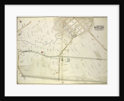
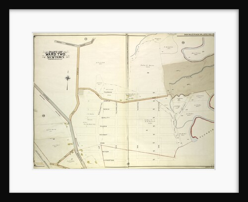
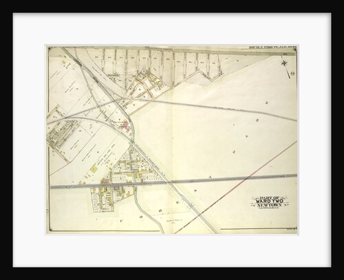
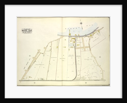
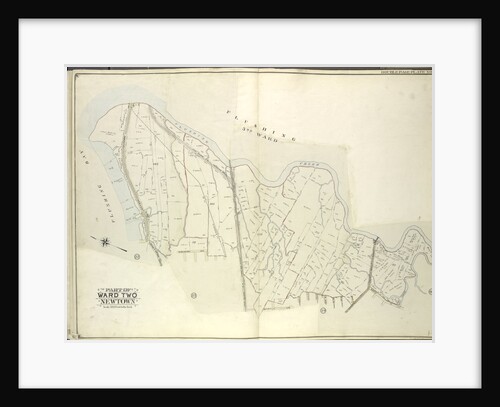
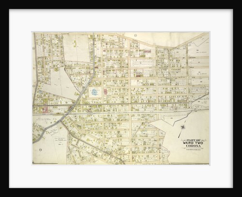
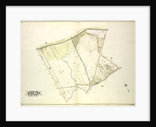
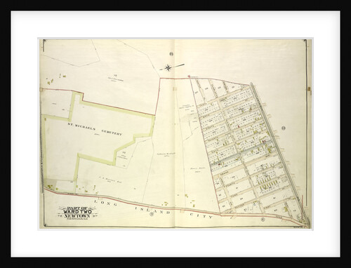
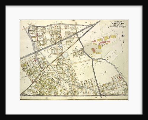
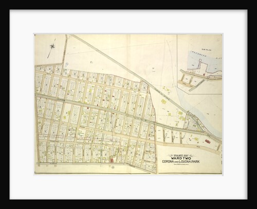
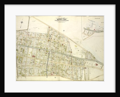
Part of the Borough of Queens, New town, Ward 2, New York
Anonymous
Part of Ward 12. Land Map Section, No. 2, Volume 1, Brooklyn Borough, New York City
Anonymous
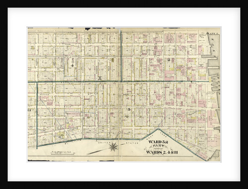
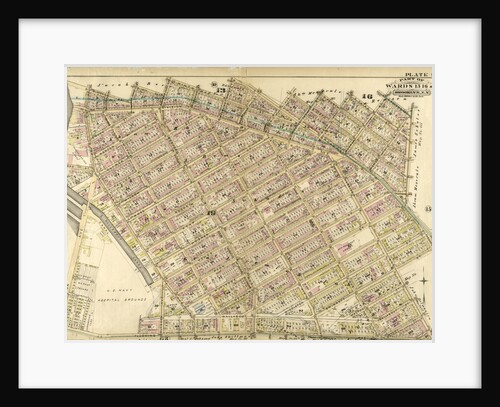
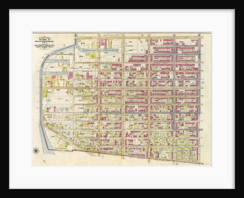
Ward 5 & Part of Wards 2, 4 & 11, New York
Anonymous
Map bounded by Flushing Bay, Flushing Creek, Mill Creek, Corona Hempstead Plank Road, Longview St., Fairview St., Home St., Orchard...
Anonymous
Map bounded by Cooper Ave., Moffatt St., Irving Ave., Boundary line between borough of Queens and Brooklyn, Wyckof Ave., Madison...
Anonymous
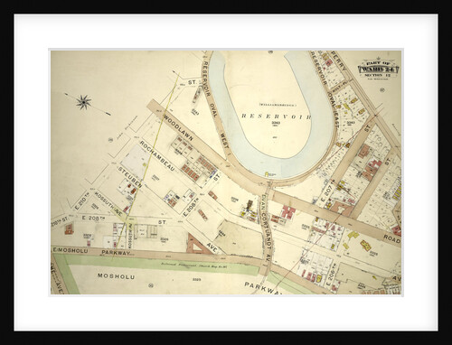
Part of Ward 24, Section 12. Bounded by E. 210th Street, Reservoir Oval West, Perry Avenue, E. 205th Street, Bainbridge...
Anonymous
Map bounded by Flushing Plank Road, Peartree Summit Ave., Meadow St., Apple St., Grand Ave. Roosevelt St., Lake St., Park...
Anonymous
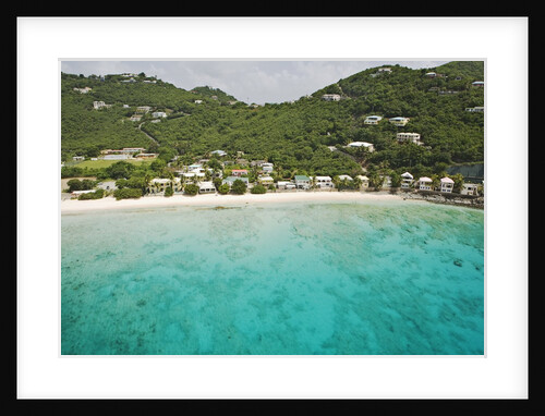
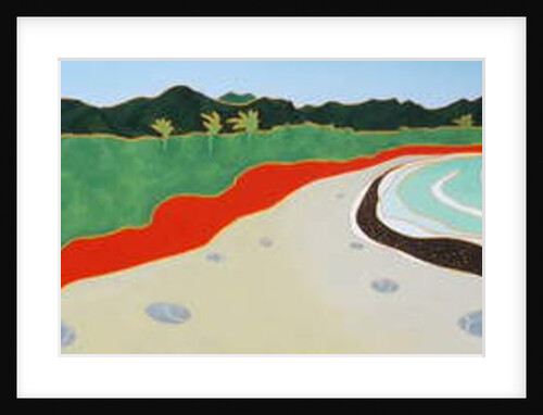
Beach Houses on North Shore of Tortola
Anonymous
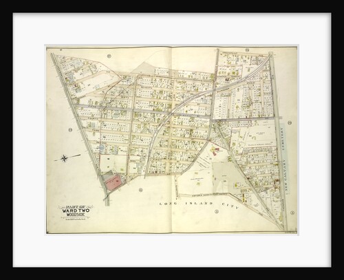
Map bounded by Kelly Ave., Woodside Ave., Greepoint Ave., Thomson Ave; Including Astoria Road Highway to Calvary Cemetery Celtic Ave.,...
Anonymous
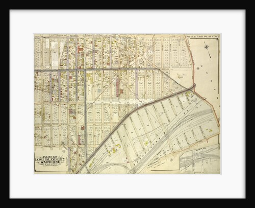
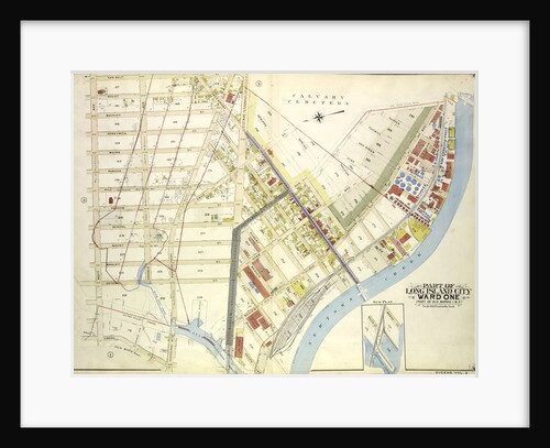
Map bounded by Water St., Marsh St., Proposed Canal; Part of Long Island City Ward One Part of Old Wards...
Anonymous
Map bounded by Newtown Ave., Covert Ave. Betts Ave., Old Brook School Road, Maurice Ave; Including Astoria Ave., Maspeth Ave.,...
Anonymous
Map bounded by Morris Greek, Caugeway, Vanwycks Lane, North Boulevard, Avenue G, Avenue F, Avenue D, Avenue C, East Boulevard,...
Anonymous
Map bounded by Hunter PL., Charlotte Ave., Newtown PL; Including Jackson Ave., Bowery Bay Road, Astoria and Flushing Turnpike, New...
Anonymous
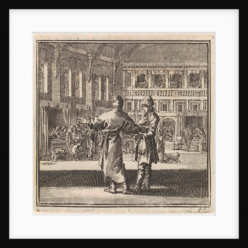
Two men talking in a hospital ward
Pieter Arentsz & Cornelis van der Sys II
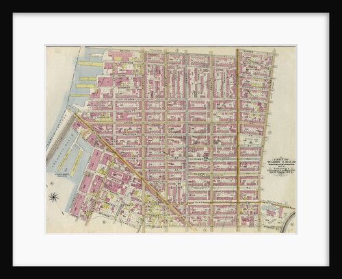
Part of Wards 13, 16 & 19. Brooklyn, N.Y
Anonymous
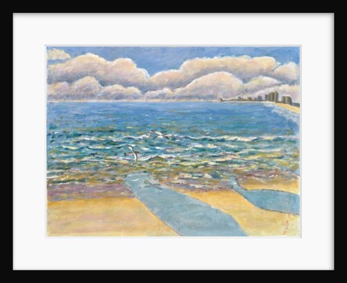
Evening, North Myrtle Beach
Patricia Eyre
Map bounded by Maspeth Ave., Grand St., Flushing Ave., Fresh Pond Road, Including Mount Olivet Ave., Metropolitan Ave., Grarrison Ave.,...
Anonymous
Part of Wards 6,10 & 12. Land Map Section, No. 2, Volume 1, Brooklyn Borough, New York City
Anonymous
Chesil Beach, Winter
Leslie Moffat Ward
Map bounded by Old Bowery Road, Flushing and Astoria Road, Coddington PL; Including Park Ave., Lent St., Flushing Turnpike, Junction...
Anonymous
Part of Wards 29 & 30, Land Map Sections, Nos. 3, 16 & 17, Volume 2, Brooklyn Borough, New York...
Anonymous
Map bounded by Bowery Road, Old Bowery Road, Flushing and Astoria Road, Jackson Ave., Coddington PL; Including Park Ave., Flushing...
Anonymous
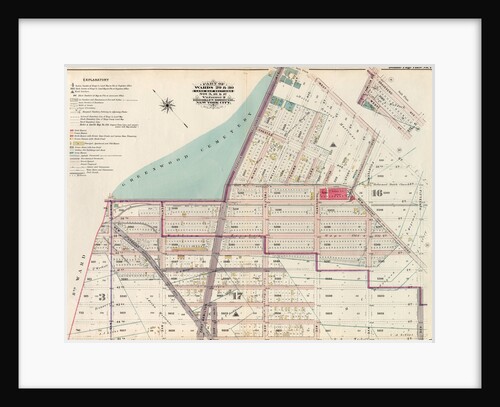
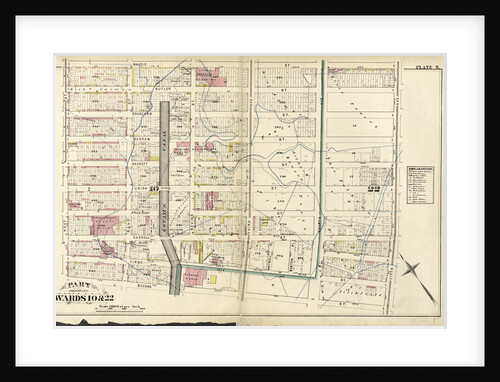
Part of Wards 10 & 22, New York
Anonymous
Part of Ward 30, Land Map Section, No. 18. Volume 2, Brooklyn Borough, New York City
Anonymous
Dulan beach looking north, 2010
Timothy Nathan Joel
Part of Ward 22. Land Map Section, No. 4, Volume 1, Brooklyn Borough, New York City
Anonymous
1
2
3
…
9
Next »
Recently viewed
Clear history