☰ Menu
Images
Products
Log in
Basket:
0
items
Popular
Subjects
Artists
Collections
Art prints
Frames
Canvases
Postcards
Gift cards
Part of wards 15 & 17 posters & prints
Showing 1 to 36 of 434
Search these images +
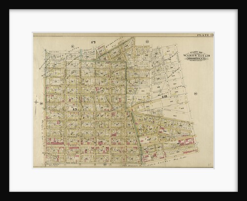
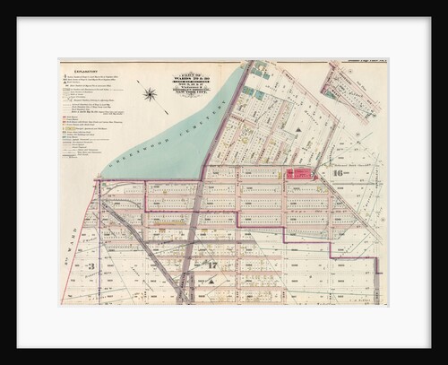
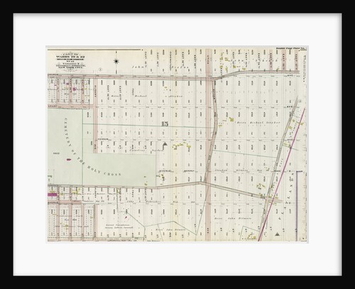
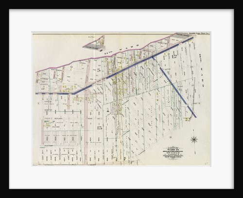
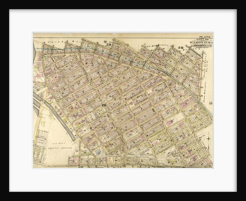
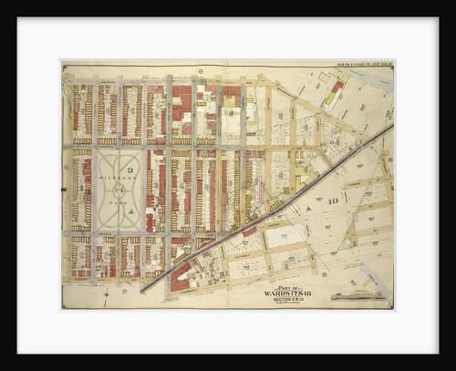
Part of Wards 15, 17 & 18. Brooklyn, N.Y
Anonymous
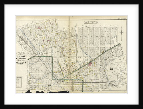
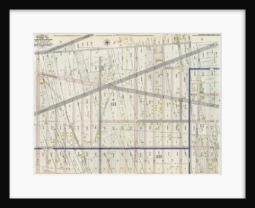
Part of Wards 15, 17, &18. City of Brooklyn, New York
Anonymous
Map bounded by Engert Ave., Manhattan Ave., Metropolitan Ave; Including Driggs Ave., New York
Anonymous
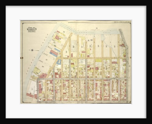
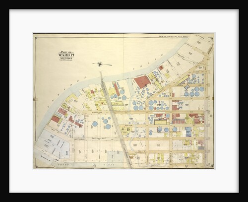
Part of Ward 17, New York City
Anonymous
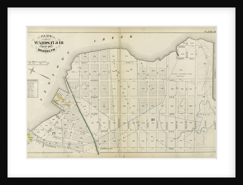
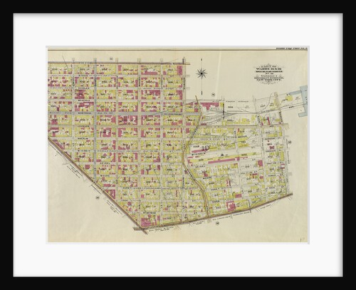
Part of Wards 29 & 30, Land Map Sections, Nos. 3, 16 & 17, Volume 2, Brooklyn Borough, New York...
Anonymous
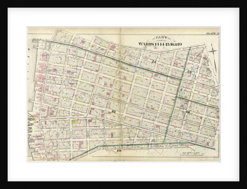
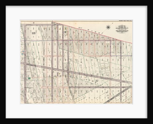
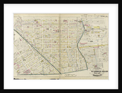
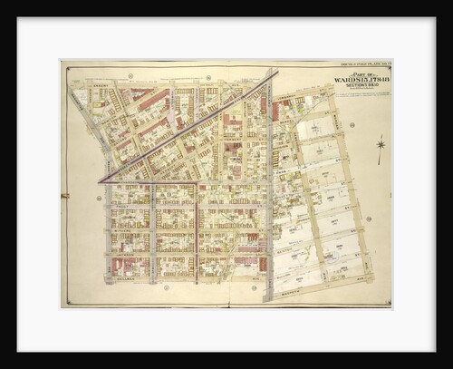
Part of Wards 13, 14, 15, 16 & 19 City of Brooklyn, New York
Anonymous
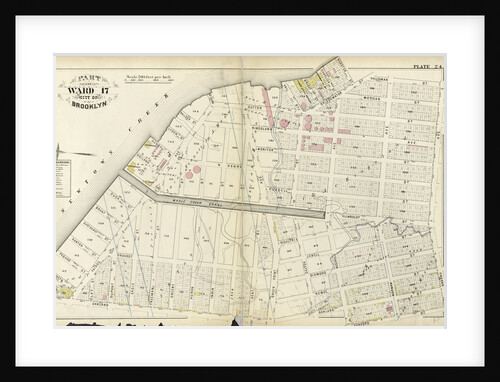
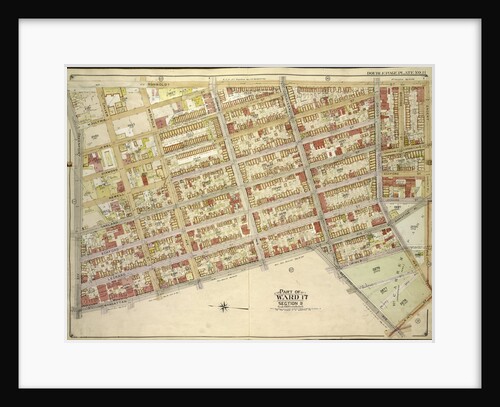
Part of Ward 17. City of Brooklyn, New York
Anonymous
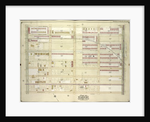
Part of Ward 30, Land Map Sections, Nos. 17, 18 & 19. Volume 2, Brooklyn Borough, New York City
Anonymous
Part of Wards 17 & 18. Land Map Sections, No. 9 & 10, Volume 1, Brooklyn Borough, New York City
Anonymous
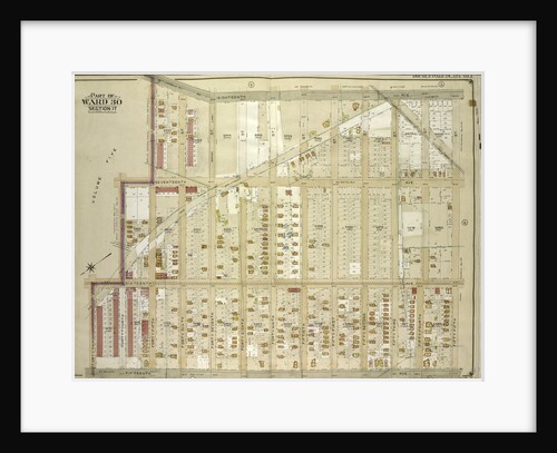
Part of Ward 30, Land Map Sections, Nos. 3, 17 & 18, Volume 2, Brooklyn Borough, New York City
Anonymous
Part of Wards 17 & 18. City of Brooklyn, New York
Anonymous
Part of Ward 29. Land Map Sections, Nos. 15, & 16. Volume 2, Brooklyn Borough, New York City
Anonymous
Map bounded by Whale Creek Canal, Greenpoint Ave; IncludingManhattan Ave., Ash St., Newtown Creek, New York
Anonymous
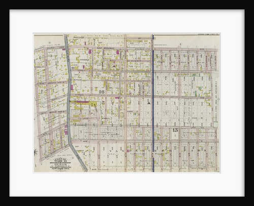
Part of Wards 16, 18 & 19. City of Brooklyn, New York
Anonymous
Part of Wards 29 & 32, Land Map Section, No. 15. Volume 2, Brooklyn Borough, New York City
Anonymous
Map bounded by Humboldtdt St., Engert Ave., Bedford Ave; IncludingManhattan Ave., Greenpoint Ave., Calyer St., Meserole Ave., New York
Anonymous
Part of Ward 29. Land Map Sections, Nos. 5, 12, & 15. Volume 2, Brooklyn Borough, New York City
Anonymous
Map bounded by 62nd St., 22nd Ave; Including 70th St., 18th Ave., New York
Anonymous
Map bounded by 18th Ave., 55th St., 15th Ave; Including 43rd St., 16th Ave., 44th St., 45th St., New York
Anonymous
Map bounded by Newtown Creek, Vandam St; Including Norman Ave., Humboldt St., Whale Creek Canal, New York
Anonymous
Part of Wards 29 & 32, Land Map Section, No. 15. Volume 2, Brooklyn Borough, New York City
Anonymous
Map bounded by North Fourteenth St., Driggs Ave., North Fifth St., Including East River, Bushwick Greek, New York
Anonymous
Broad Street and Cornhill Wards from a Map of 1750 London
Anonymous
Map bounded by Manhattan Ave., Bedford Ave., North Fourteenth St; IncludingBushwick Creek, East River, Greenpoint Ave., New York
Anonymous
Part of Wards 13, 16 & 19. Brooklyn, N.Y
Anonymous
Map bounded by Engert Ave. Van Pelt Ave., Morgan Ave; Including Maspeth Ave., Skillman Ave., Manhattan Ave., New York
Anonymous
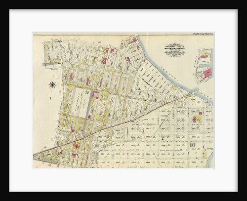
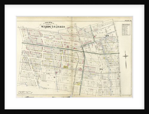
Part of Wards 7, 9, 23 & 24, New York
Anonymous
Part of Wards 16 &20, New York City
Anonymous
Map bounded by Norman Ave., Bridgewater St., Vandam St., Newtown Creek Including Stewart St., Lombardy St., Engert Ave. van Pelt...
Anonymous
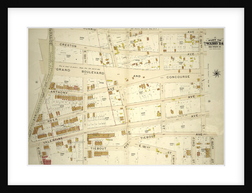
Part of Ward 24, Section 11. Bounded by Morris Avenue, E. 183rd Street, Webster Avenue, E. 179th Street, Valentine Avenue...
Anonymous
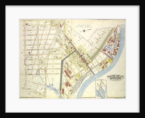
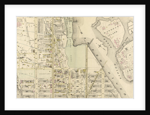
Map bounded by Water St., Marsh St., Proposed Canal; Part of Long Island City Ward One Part of Old Wards...
Anonymous
Part of Wards 16 & 18. Land Map Section, No. 10, Volume 1, Brooklyn Borough, New York City
Anonymous
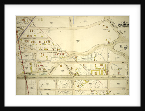
Part of Ward 24, Sections 9&11. Bounded by Nelson Avenue, Featherbed Lane, E. 174th Street, Walton Avenue, Elliot Place, Jemorem...
Anonymous
Part of Ward 12, New York City
Anonymous
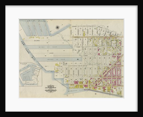
Part of Ward 12. Land Map Section, No. 2, Volume 1, Brooklyn Borough, New York City
Anonymous
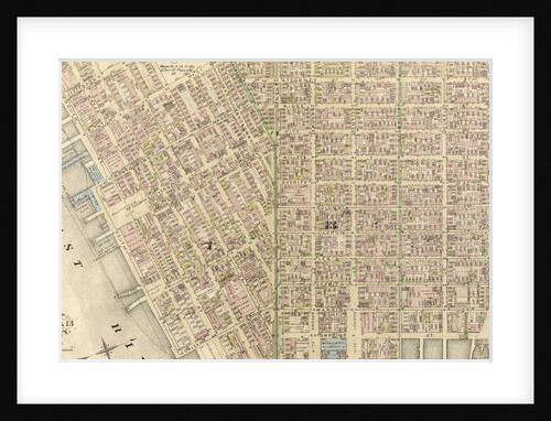
Part of Wards 7, 11 & 13, New York City
Anonymous
1
2
3
…
13
Next »
Recently viewed
Clear history