☰ Menu
Images
Products
Log in
Basket:
0
items
Popular
Subjects
Artists
Collections
Art prints
Frames
Canvases
Postcards
Gift cards
Part of wards 2 & 5 posters & prints
Showing 1 to 36 of 766
Search these images +
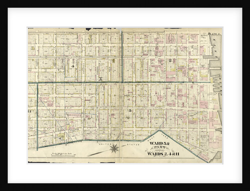
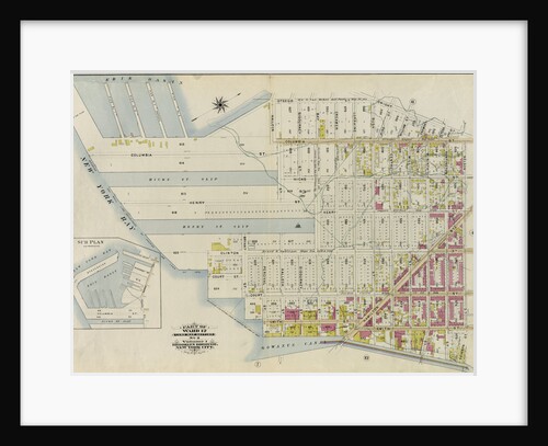
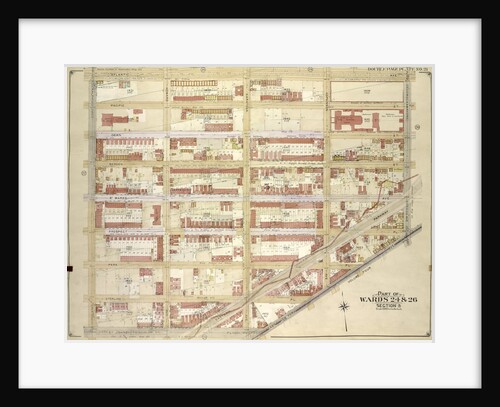
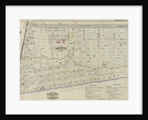
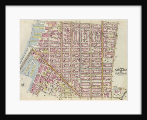
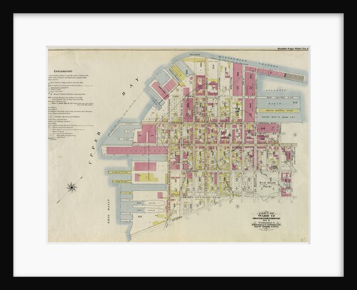
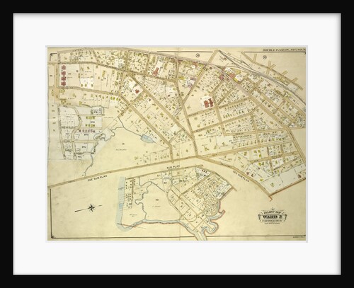
Ward 5 & Part of Wards 2, 4 & 11, New York
Anonymous
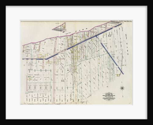
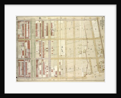
Part of Ward 29. Land Map Sections, Nos. 5, 12, & 15. Volume 2, Brooklyn Borough, New York City
Anonymous
Map bounded by Winthrop Ave
Anonymous
Map bounded by Winthrop Ave., Van Alst Ave., Debevoise Ave., Rapelje Ave; Including Boulevard, Barclay St., Hallet St., Howland St.,...
Anonymous
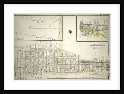
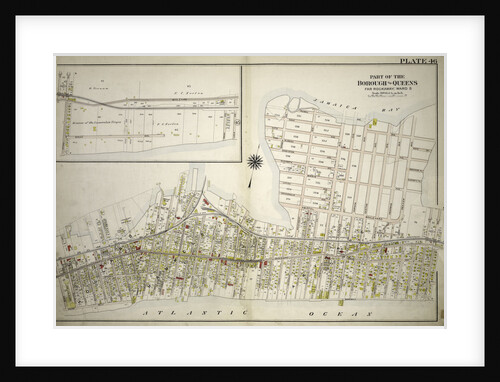
Part of the Borough of Queens, Far Rockaway, Ward 5, New York
Anonymous
Part of Ward 12. Land Map Section, No. 2, Volume 1, Brooklyn Borough, New York City
Anonymous
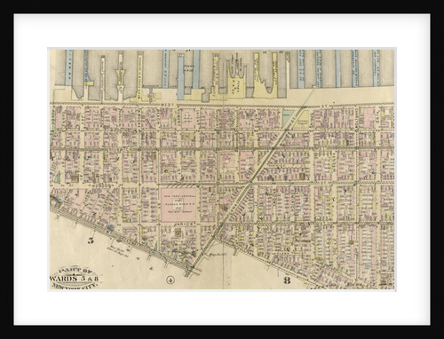
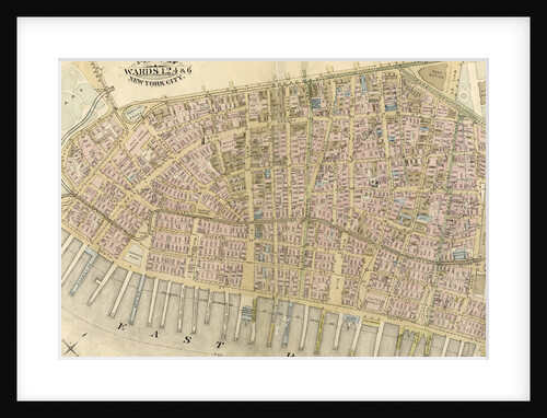
Part of Wards 5 & 8, New York City
Anonymous
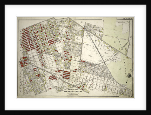
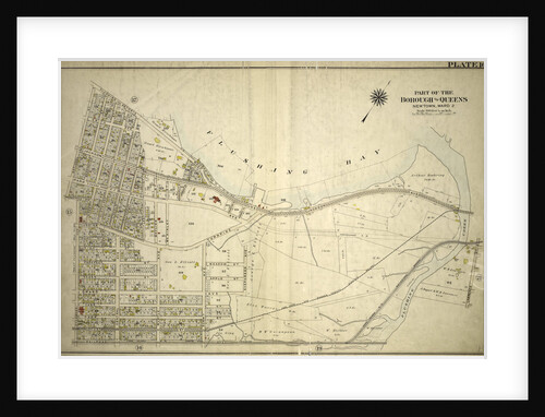
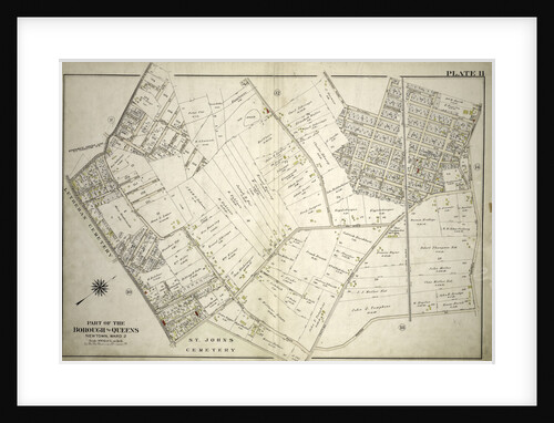
Part of the Borough of Queens, New town, Ward 2, New York
Anonymous
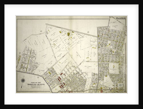
Part of the Borough of Queens, New town, Ward 2, New York
Anonymous
Map bounded by Atlantic Ave., Rockaway Ave., East New York Ave; IncludingSt. Johns PL. Douglass St., Ralph Ave., New York
Anonymous
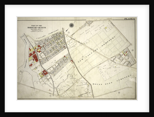
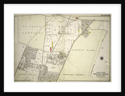
Part of the Borough of Queens, New town, Ward 2, New York
Anonymous
Part of the Borough of Queens, New town, Ward 2, New York
Anonymous
Part of the Borough of Queens, New town, Ward 2, New York
Anonymous
Part of Wards 24 & 29. Land Map Section, No. 5, Volume 1, Brooklyn Borough, New York City
Anonymous
Part of Ward 24. Land Map Section, No. 5, Volume 1, Brooklyn Borough, New York City
Anonymous
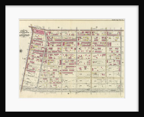
Part of Wards 1,2,4 & 6, New York City
Anonymous
Map bounded by Boulevard, Winthrop Ave., Wolcott Ave., Ditmars Ave., Potter Ave., Woolsey Ave., Flushing Ave., Nassau Ave., Frankfort Ave.,...
Anonymous
Part of the Borough of Queens, New town, Ward 2, New York
Anonymous
Part of Wards 6,10 & 12. Land Map Section, No. 2, Volume 1, Brooklyn Borough, New York City
Anonymous
Map bounded by Albany Ave., East New York Ave. Old Earl St; IncludingNew York Ave., St. Johns PL. Douglass St.,...
Anonymous
Map bounded by Van Pelt St., Greenpoint Ave., Hunters Point Ave., Borden Ave., Howard St., Spring St., Preston St; Including...
Anonymous
Part of Ward 12. Land Map Section, No. 2, Volume 1, Brooklyn Borough, New York City
Anonymous
Map bounded by Broadway, Saratoga Ave; IncludingDecatur St., Patchen Ave., New York
Anonymous
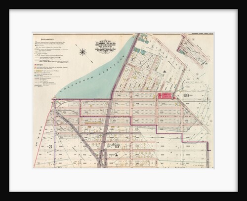
Part of Wards 22 & 29. Land Map Section, No. 16. Volume 2, Brooklyn Borough, New York City
Anonymous
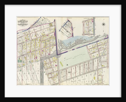
Part of Wards 29 & 30, Land Map Sections, Nos. 3, 16 & 17, Volume 2, Brooklyn Borough, New York...
Anonymous
Part of the Borough of Queens, Far Rockaway, Ward 5, New York
Anonymous
Part of Ward 17, New York City
Anonymous
Map bounded by Atlantic Ave., Clinton St., Degraw St., Sedgwick St., Van Brunt St; Including Baltic St., Warren St., Congress...
Anonymous
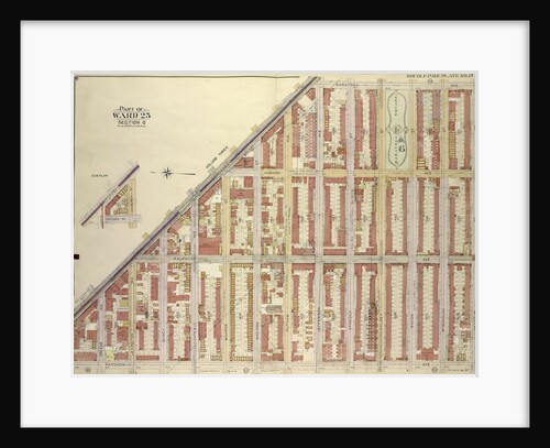
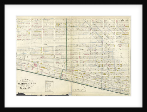
Part of Wards 23 & 25. City of Brooklyn, New York
Anonymous
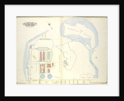
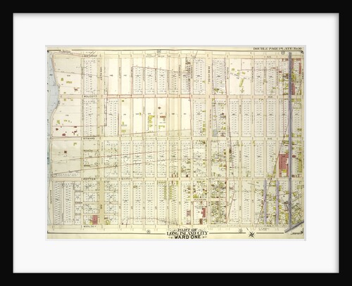
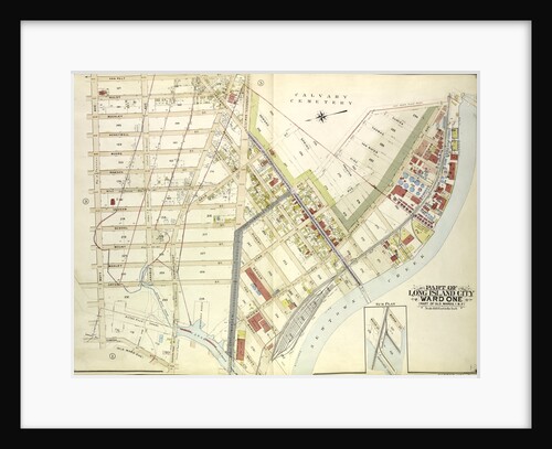
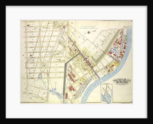
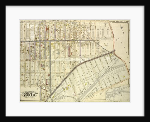
Map bounded by Water St., Marsh St., Proposed Canal; Part of Long Island City Ward One Part of Old Wards...
Anonymous
Map bounded by Atlantic Ave; IncludingRalph Ave., St. Johns PL. Douglass St., Schenectady Ave., New York
Anonymous
Part of Ward 12, New York City
Anonymous
Part of Ward 12, New York City
Anonymous
Map bounded by Jarvis Lane, Oak St., New York
Anonymous
Map bounded by Jamaica Ave., North Wood Side, Middleburg Ave., Laurel Hill Ave., Madden St., Van Buren St., Lowery St.,...
Anonymous
Part of Ward 22, New York City
Anonymous
1
2
3
…
22
Next »
Recently viewed
Clear history