☰ Menu
Images
Products
Log in
Basket:
0
items
Popular
Subjects
Artists
Collections
Art prints
Frames
Canvases
Postcards
Gift cards
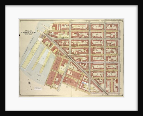
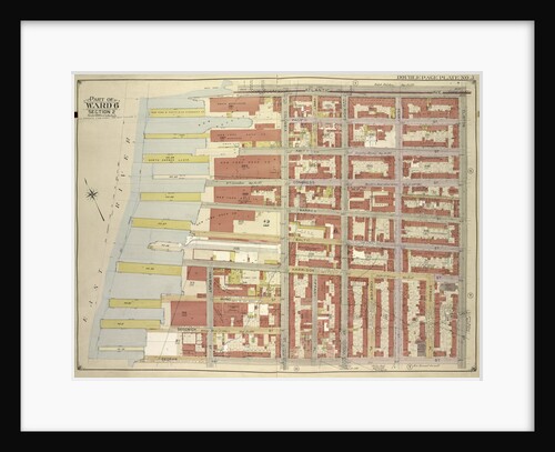
Part of wards 6 & 12 brooklyn posters & prints
Showing 1 to 36 of 402
Search these images +
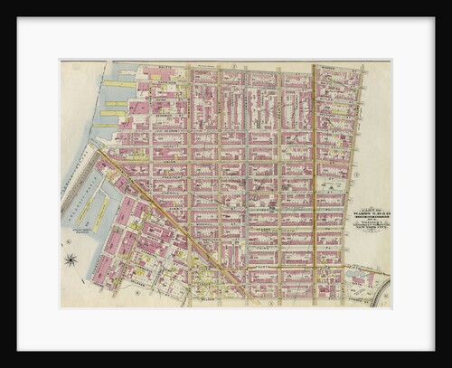
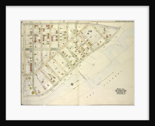
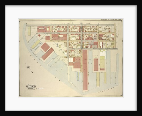
Part of Wards 6,10 & 12. Land Map Section, No. 2, Volume 1, Brooklyn Borough, New York City
Anonymous
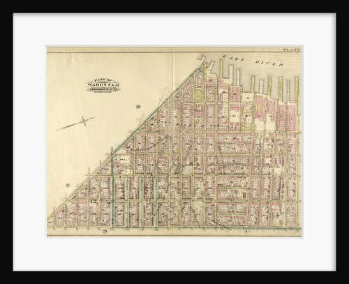
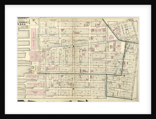
Part of Wards 6 & 12. Brooklyn, N.Y
Anonymous
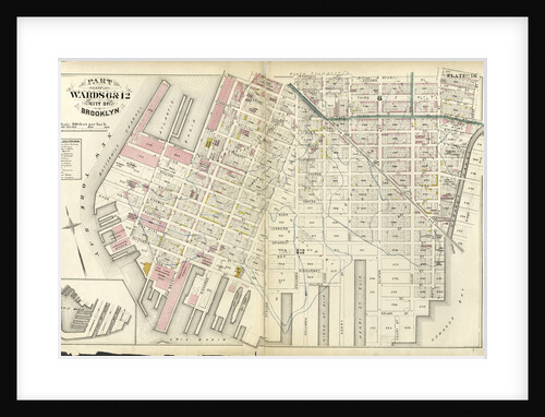
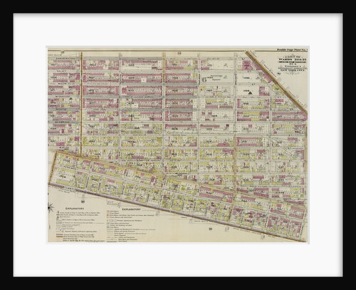
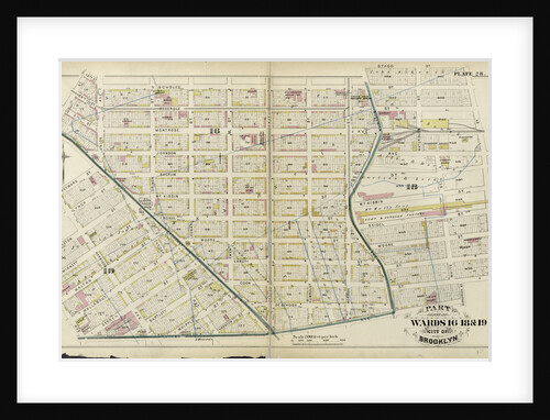
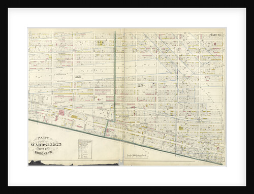
Part of Wards 6 & 12. City of Brooklyn, New York
Anonymous
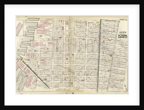
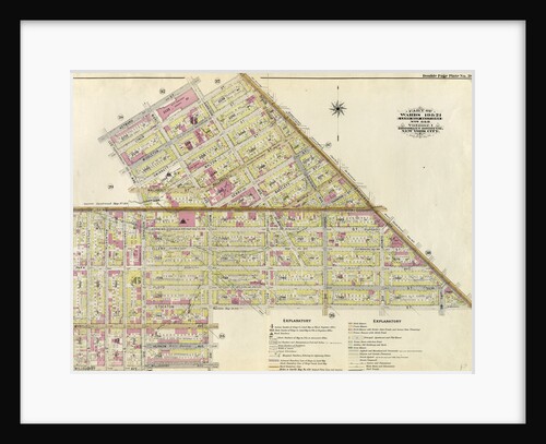
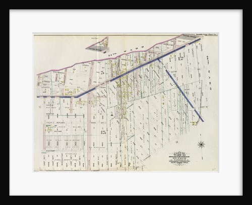
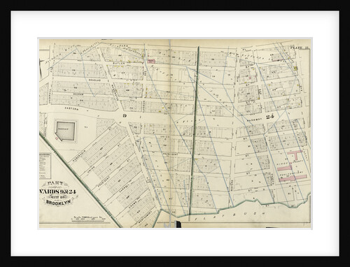
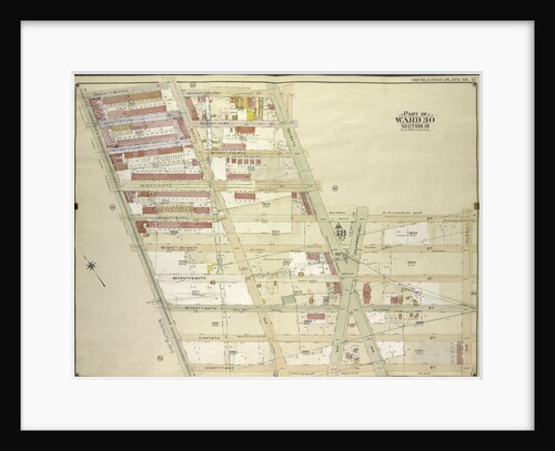
Part of Wards 6, 10, & 12. City of Brooklyn, New York
Anonymous
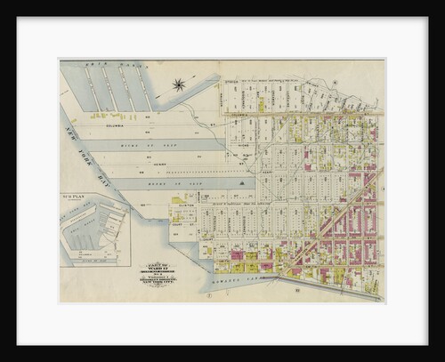
Map bounded by Degraw St., Henry St., Coles St., Seabring St., Van Brunt St., Commerce St; Including Commercial Wharf Conover...
Anonymous
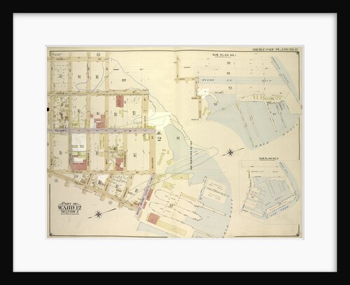
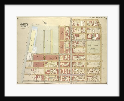
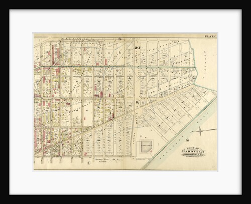
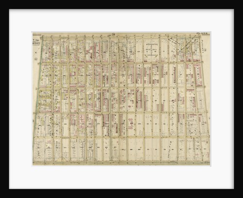
Part of Ward 12. Land Map Section, No. 2, Volume 1, Brooklyn Borough, New York City
Anonymous
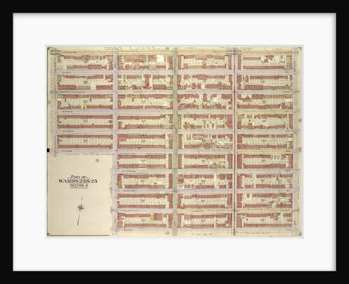
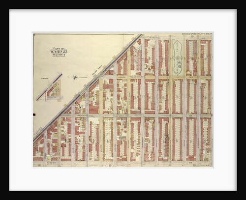
Part of Ward 23. Land Map Section, No. 6, Volume 1, Brooklyn Borough, New York City
Anonymous
Map bounded by Atlantic Ave., Clinton St., Degraw St., Sedgwick St., Van Brunt St; Including Baltic St., Warren St., Congress...
Anonymous
Map bounded by Bay St., New York
Anonymous
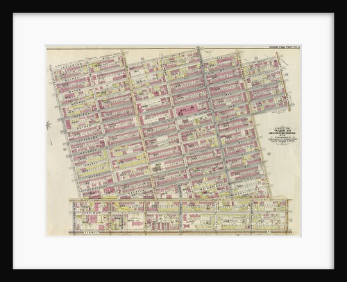
Part of Wards 19 & 21. Land Map Sections, No. 6 & 8, Volume 1, Brooklyn Borough, New York City
Anonymous
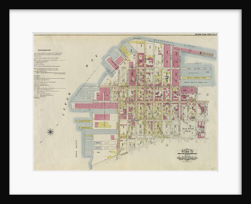
Part of Ward 12. Land Map Section, No. 2, Volume 1, Brooklyn Borough, New York City
Anonymous
Map bounded by Lexington Ave., Patchen Ave., Macon St; IncludingLewis Ave., Putnam Ave., Sumner Ave., New York
Anonymous
Map bounded by Commerce St., Seabring St., Columbia St., Dwight St., Dkeman St; IncludingWolcott St., Sullivan St., King St., Clinton...
Anonymous
Map bounded by 5th Ave., 18th St; Including Ridge Blvd., Bay Ridge Ave., New York
Anonymous
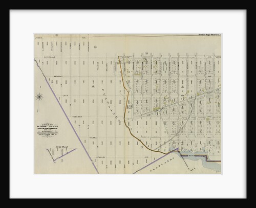
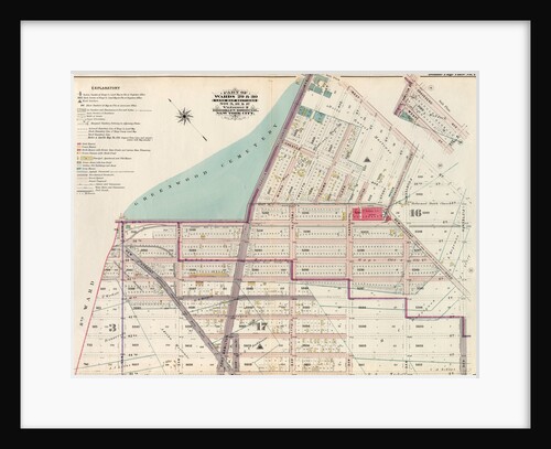
Part of Ward 29. Land Map Sections, Nos. 5, 12, & 15. Volume 2, Brooklyn Borough, New York City
Anonymous
Map bounded by Broadway, Saratoga Ave; IncludingDecatur St., Patchen Ave., New York
Anonymous
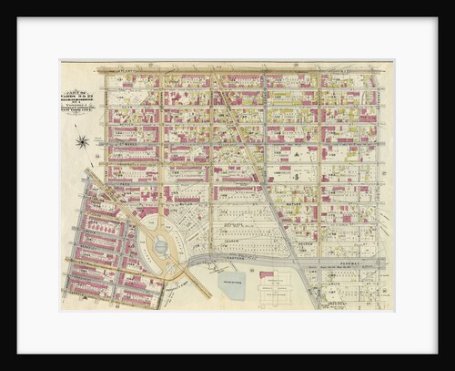
Part of Wards 9 & 24. City of Brooklyn, New York
Anonymous
Map bounded by Flushing Ave., Marcy Ave; IncludingWilloughby Ave., Kent Ave., New York
Anonymous
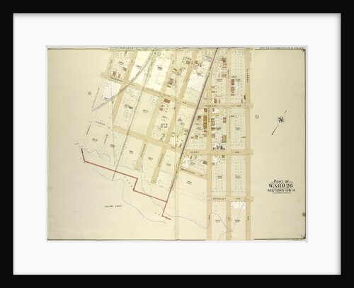
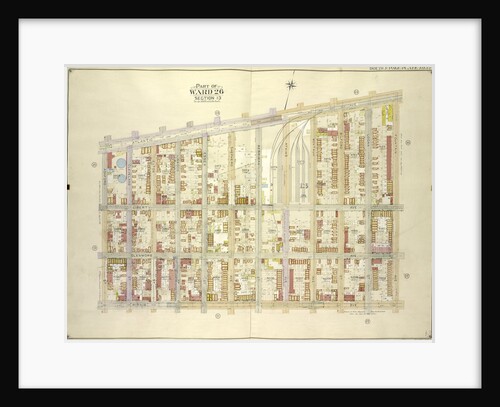
Part of Wards 26 & 32. Land Map Section, No. 12, Volume 1, Brooklyn Borough, New York City
Anonymous
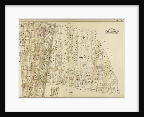
Part of Ward 24 & 25. Brooklyn, N.Y
Anonymous
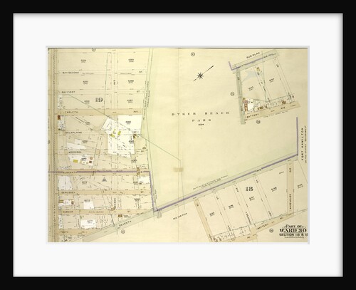
Map bounded by 3rd Ave., Bay Ridge Parkway; Including 91st St., New York
Anonymous
Part of Wards 23 & 25. Land Map Section, No. 6, Volume 1, Brooklyn Borough, New York City
Anonymous
Map bounded by 72nd St., 7th Ave; Including 10th Ave., 81st St., 5th Ave., New York
Anonymous
Map bounded by Newlots Ave., Alabama Ave., Stanley Ave; Including Fresh Creek, E. 107th St., Powell St., New York
Anonymous
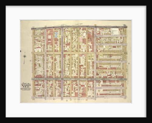
Part of Wards 16, 18 & 19. City of Brooklyn, New York
Anonymous
Part of Wards 9, 22 . Land Map Section, No. 4, Volume 1, Brooklyn Borough, New York City
Anonymous
Map bounded by Atlantic Ave., Fountain Ave; Including Pitkin Ave., Ashford St., New York
Anonymous
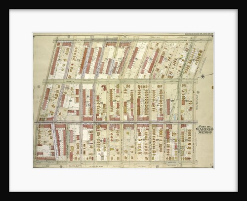
Part of Wards 29 & 30, Land Map Sections, Nos. 3, 16 & 17, Volume 2, Brooklyn Borough, New York...
Anonymous
Part of Wards 23 & 25. City of Brooklyn, New York
Anonymous
Part of Wards 9 & 24. Brooklyn, N.Y
Anonymous
Map bounded by 44th St., 6th Ave., 49th St; Including 5th Ave., 42nd St., 2nd Ave., New York
Anonymous
Map bounded by 7th Ave., 102nd St., Battery Ave., New York
Anonymous
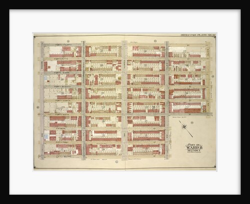
Part of Wards 1, 3, 4, & 6. City of Brooklyn, New York
Anonymous
Part of Ward 22. Brooklyn, N.Y
Anonymous
Map bounded by Powell St., Dumont Ave; Including Bristol St., East New York Ave., New York
Anonymous
Map bounded by Dikeman St., Dwight St; Including Eire Basin, Upper Bay, New York
Anonymous
1
2
3
…
12
Next »
Recently viewed
Clear history