☰ Menu
Images
Products
Log in
Basket:
0
items
Popular
Subjects
Artists
Collections
Art prints
Frames
Canvases
Postcards
Gift cards
Section 16 posters & prints
Showing 1 to 36 of 930
Search these images +
Section 16, New York
Anonymous
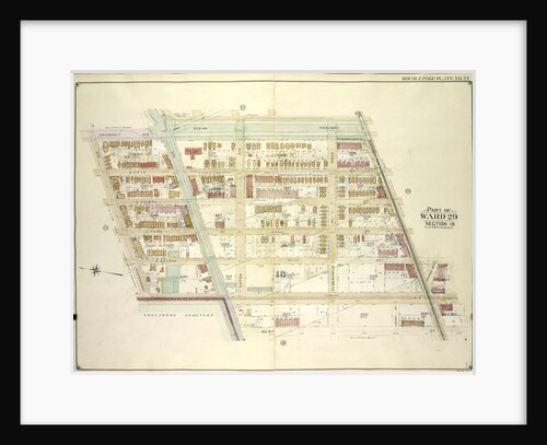
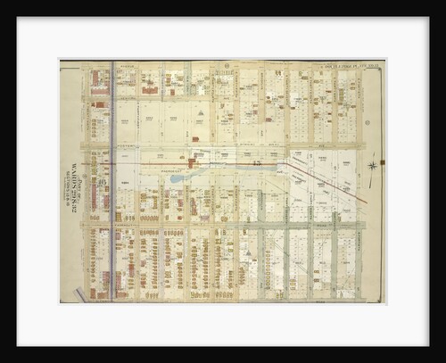
Map bounded by Ocean Parkway, Church Lane, West St., Fort Hamilton Ave; Including Gravesend Ave., Greenwood Ave., Prospect Ave., New...
Anonymous
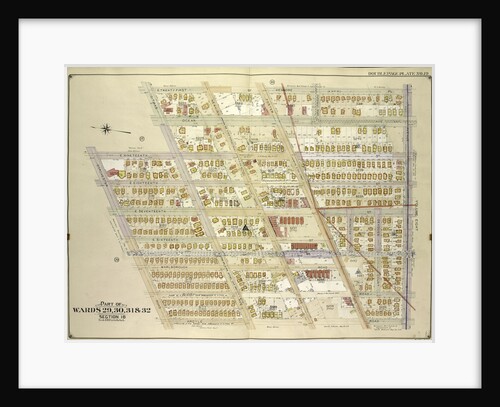
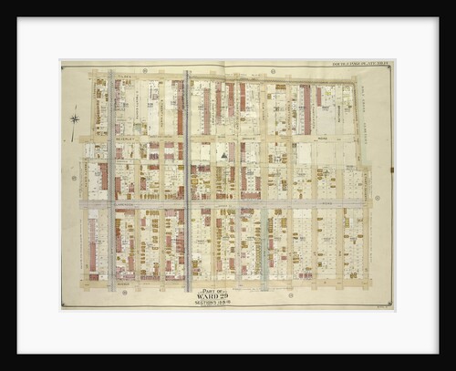
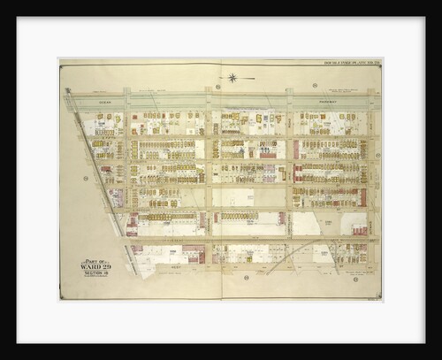
Map bounded by E. 21st St., Kenmore Pl., Avenue G, Argyle Road; Including Dorchester Road, E. 19th St., Ditmas Ave.,...
Anonymous
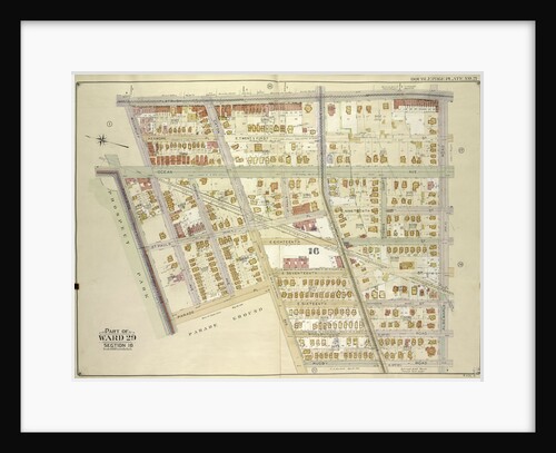
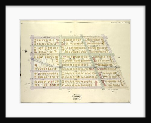
Map bounded by Flatbush Ave., Albemarle Road Avenue A, Rugby Road E. 14th St; Including Caton Ave. Johnson Ave., Parade...
Anonymous
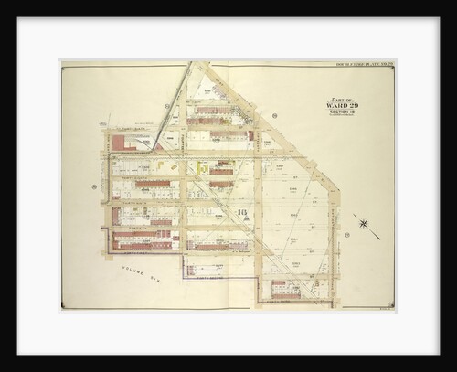
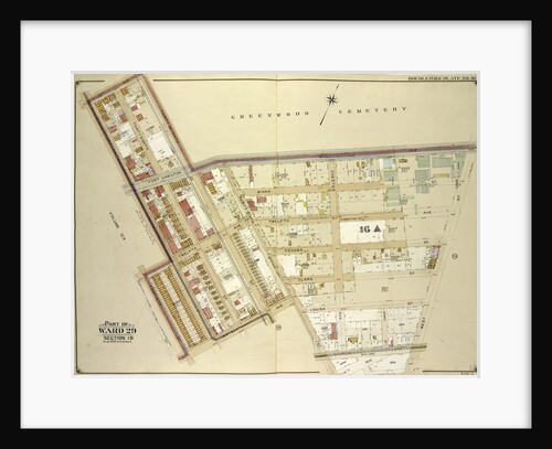
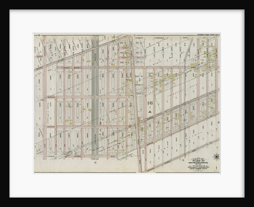
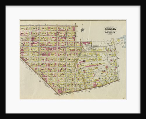
Map bounded by West St., 16th Ave., 43rd St., 42nd St; Including 41st St., 13th Ave., 36th St., Church Lane,...
Anonymous
Map bounded by Tilden Ave., Canarsie Ave., E. 37th St; Including Avenue D, E. 26th St., Prospect St., New York
Anonymous
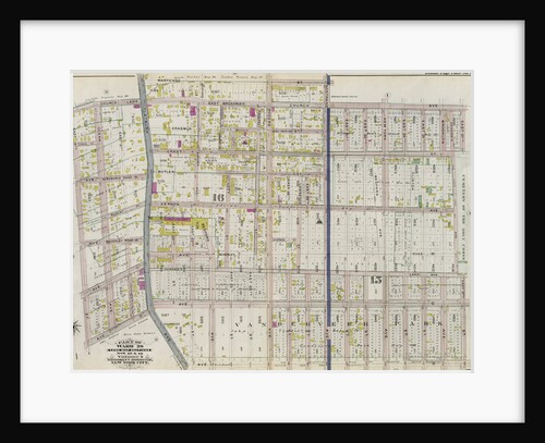
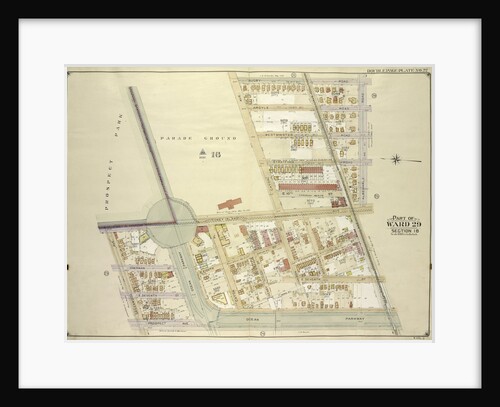
Part of Ward 29. Land Map Sections, Nos. 15, & 16. Volume 2, Brooklyn Borough, New York City
Anonymous
Map bounded by Prospect St., E 26th St., Avenue D, Ditmas Ave. Avenue E; Including E. 19th St., Albemarle Road...
Anonymous
Map bounded by 37th Ave. Franklin Blvd., West St., 14th Ave., 36th St; Including 13th Ave., 14th St., 39th St.,...
Anonymous
Map bounded by Argyle Road, Cortelyou Road, Ocean Parkway; Including Church Lane, Albemarle Road., New York
Anonymous
Map bounded by Nostrand Ave., Tilden Ave. Vernon Ave; Including Flatbush Ave., Clarkson Ave., New York
Anonymous
Map bounded by Rugby Road E. 14th St., Albemarle Road Avenue A, Church Ave., Church Lane, Ocean Parkway; Including Prospect...
Anonymous
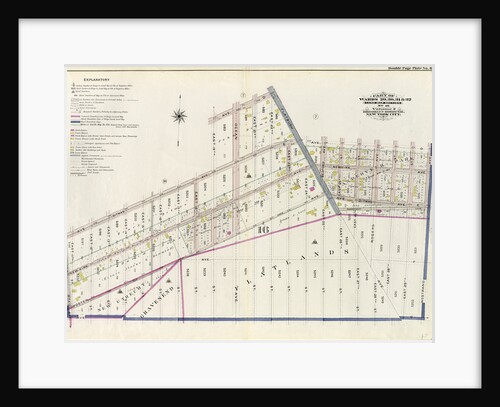
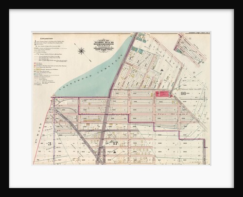
Part of Wards 29, 30, 31 & 32, Land Map Section, No. 16. Volume 2, Brooklyn Borough, New York City
Anonymous
Map bounded by Flatbush Ave., Lincoln Road, Ocean Ave., New York
Anonymous
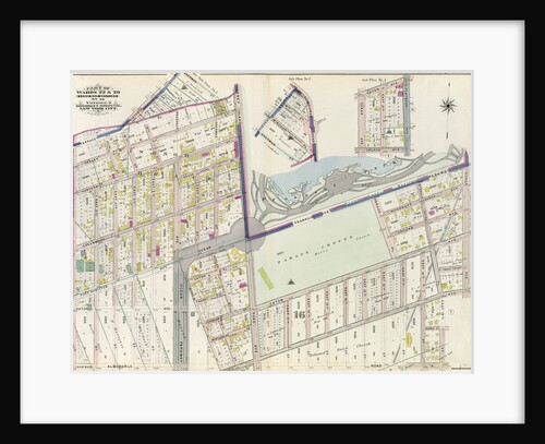
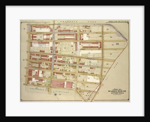
Part of Wards 22 & 29. Land Map Section, No. 16. Volume 2, Brooklyn Borough, New York City
Anonymous
Map bounded by E. 29th St., Avenue G, Kenmore Pl; Including E. 21st St., Ditmas Ave., Avenue D., New York
Anonymous
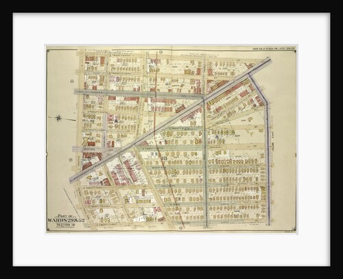
Part of Wards 29 & 30, Land Map Sections, Nos. 3, 16 & 17, Volume 2, Brooklyn Borough, New York...
Anonymous
Map bounded by Avenue D, E. 40th St; Including Glenwood Road, E. 29th St., New York
Anonymous
Map bounded byOcean Parkway, Ditmas Ave; Including West St., Church Lane., New York
Anonymous
Map bounded by E. 19th St., Dorchster Road; Including Argyle Road E. 13th St., Albemarle Road Avenue A., New York
Anonymous
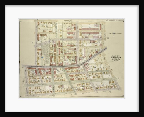
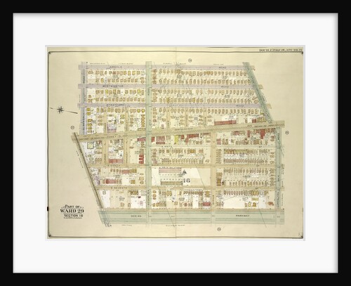
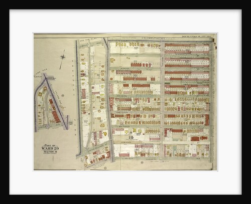
Part of Ward 29. Land Map Section, No. 16. Volume 2, Brooklyn Borough, New York City
Anonymous
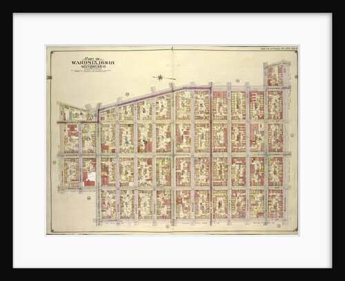
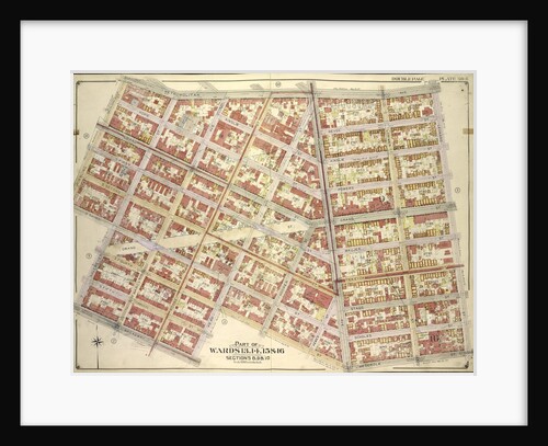
Part of Wards 16 & 18. Land Map Section, No. 10, Volume 1, Brooklyn Borough, New York City
Anonymous
Bounded by W. 105th Street, Central Park West, W. 100th Street and Amsterdam Avenue, New York
Anonymous
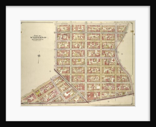
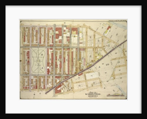
Map bounded by Bushwick Ave., Bushwick PL., Montrose Ave
Anonymous
Fifteen-section icon screen with scenes from the Life of Christ and Saints, 16th century Russian
Anonymous
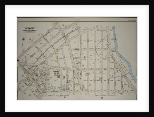
Borough of the Bronx. Bounded by Garrison Avenue, Faile Street, Whitlock Avenue, Southern Boulevard, Longwood Avenue, Garrison Avenue, E. 156th...
Anonymous
Map bounded by Montrose Ave., Bushwick Ave., Flushing Ave; Including Gerry St., Broadway
Anonymous
Map bounded by Marcy Ave., New York
Anonymous
Part of Section 7, New York
Anonymous
Map bounded by 15th St., Coney Island Road, Old City Line, 11th Ave; IncludingTerrace PL., Gravesend Ave., 12th St., 8th...
Anonymous
A Section of a Map of Milan, 1640
Giovanni Battista Bonacina
Map bounded by Metropolitan Ave
Anonymous
Map bounded by Norman Ave., Bridgewater St., Vandam St., Newtown Creek Including Stewart St., Lombardy St., Engert Ave. van Pelt...
Anonymous
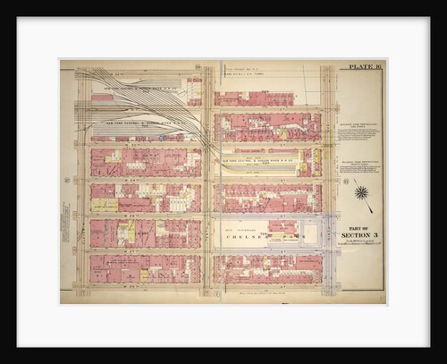
Bounded by W. 32nd Street, Ninth Avenue, W. 26th Street and Eleventh Avenue, New York
Anonymous
Maple viewers. A six-section folding screens, 16th century
Kano Hideyori
Map bounded by Atlantic Ave., Underhill Ave., Sterling PL., St. John PL; IncludingFlatbush Ave., 7th Ave, 6th Ave., New York
Anonymous
1
2
3
…
26
Next »
Recently viewed
Clear history