☰ Menu
Images
Products
Log in
Basket:
0
items
Popular
Subjects
Artists
Collections
Art prints
Frames
Canvases
Postcards
Gift cards
Uk map posters & prints
Showing 1 to 36 of 1000
Search these images +
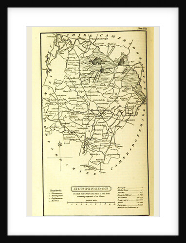
Huntingdon map, A Topographical Dictionary of the United Kingdom, UK
Anonymous
Map Yorkshire UK
Anonymous
Map of Manchester and Salford about 1650, UK
Anonymous
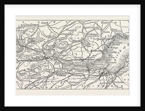
Map of the Forth, UK, Scotland
Anonymous
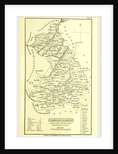
Cambridgeshire map, A Topographical Dictionary of the United Kingdom, UK
Anonymous
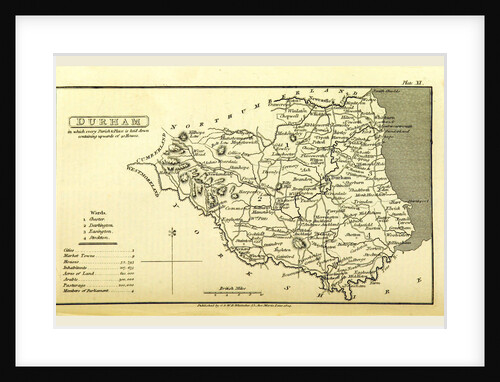
A Topographical Dictionary of the United Kingdom, Durham map, UK
Anonymous
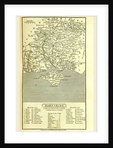
Hampshire, map 1824, A Topographical Dictionary of the United Kingdom, UK
Anonymous
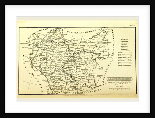
A Topographical Dictionary of the United Kingdom, Leicestershire map, UK
Anonymous
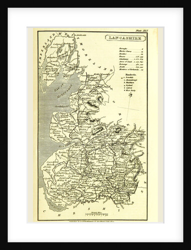
Lancashire map 1824, A Topographical Dictionary of the United Kingdom, UK
Anonymous
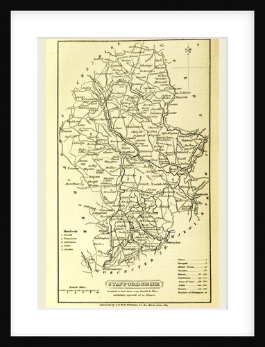
Staffordshire, map 1824, A Topographical Dictionary of the United Kingdom, UK
Anonymous
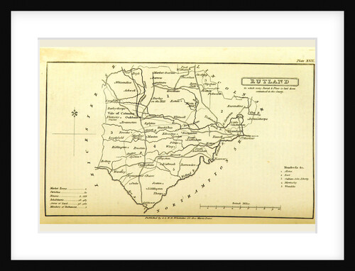
A Topographical Dictionary of the United Kingdom, Rutland map, UK
Anonymous
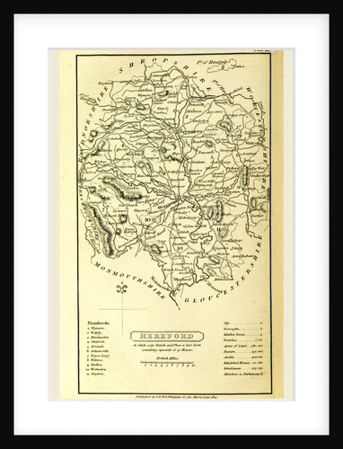
Hereford map, A Topographical Dictionary of the United Kingdom, UK
Anonymous
Map wiltshire, UK
Anonymous
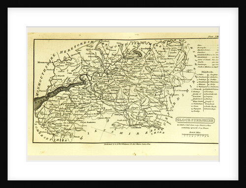
A Topographical Dictionary of the United Kingdom, Glocestershire map, Gloucestershire, UK
Anonymous
Northumberland map, 1824, UK
Anonymous
Map Suffolk UK
Anonymous
Map Westmoreland UK
Anonymous
Tower Street Ward, Map
Anonymous
Map of Brighton,1829, UK
Anonymous
Map of the Course of the Ouse
Anonymous
Map of the Course of the Tyne, a River in the UK
Anonymous
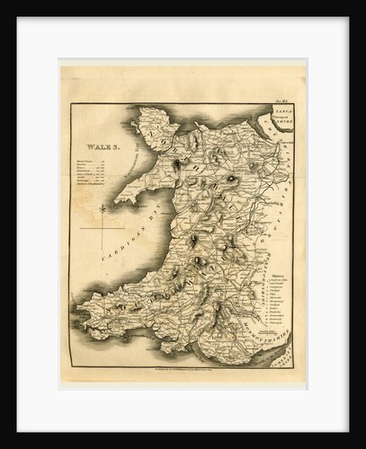
A Topographical Dictionary of the United Kingdom, Wales map
Anonymous
Part of Modern London, Map, Showing the Ancient Wall
Anonymous
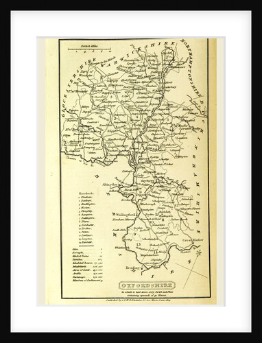
Oxfordshire, map, A Topographical Dictionary of the United Kingdom
Anonymous
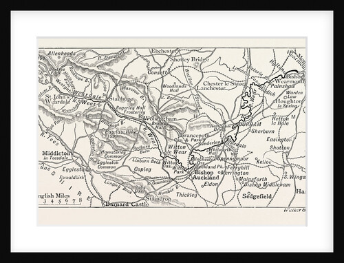
Map of the Course of the Wear, in North East England
Anonymous
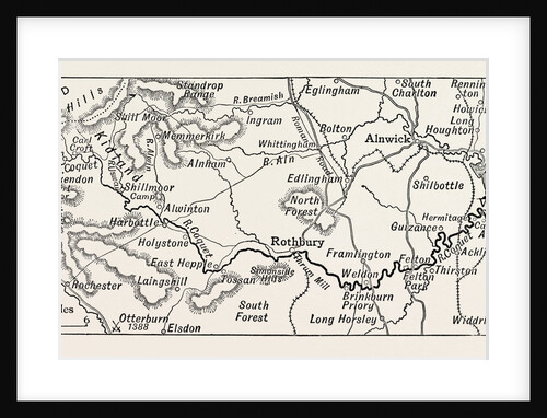
Map of the Course of the Coquet
Anonymous
Nottinghamshire, map, A Topographical Dictionary of the United Kingdom
Anonymous
Map of Battersea & Chelsea, 1748
John Rocque
Scotland, map 1824, A Topographical Dictionary of the United Kingdom
Anonymous
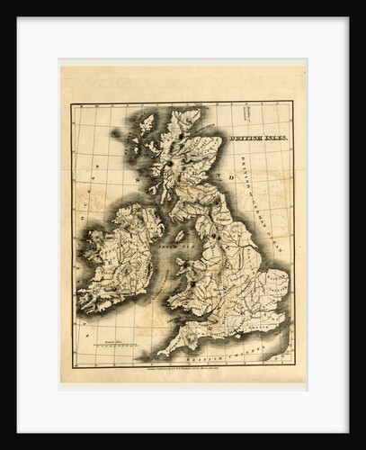
A Topographical Dictionary of the United Kingdom, British Isles
Anonymous
Map of the Battle of Waterloo
Alexander Keith Johnston
Map of the East Anglian Rivers
Anonymous
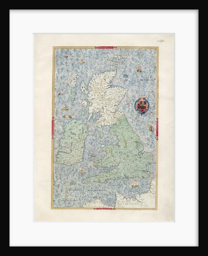
Map of the British Isles
William Bowyer
Moorfields And Its Neighbourhood, From A Map of About 1720, 19th Century
Anonymous
Map of the Highland Dee
Anonymous
Map Up Epping Forest
Anonymous
1
2
3
…
28
Next »
Recently viewed
Clear history