☰ Menu
Images
Products
Log in
Basket:
0
items
Popular
Subjects
Artists
Collections
Art prints
Frames
Canvases
Postcards
Gift cards
Ward one part of old ward 5 posters & prints
Showing 1 to 36 of 490
Search these images +
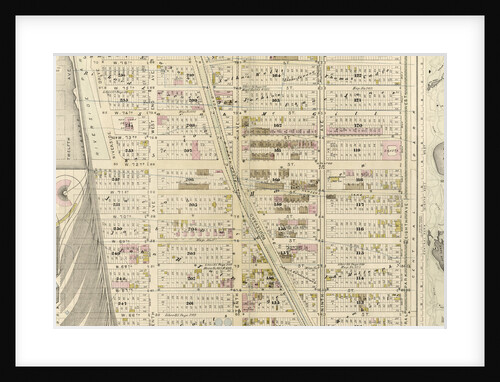
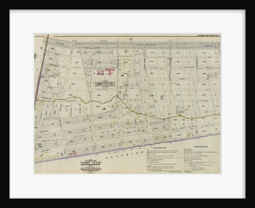
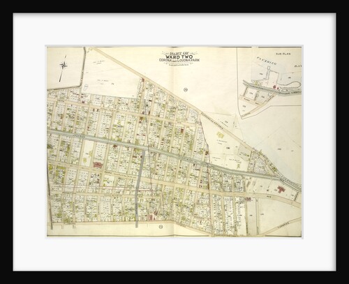
Map bounded by Winthrop Ave
Anonymous
Map bounded by Winthrop Ave., Van Alst Ave., Debevoise Ave., Rapelje Ave; Including Boulevard, Barclay St., Hallet St., Howland St.,...
Anonymous
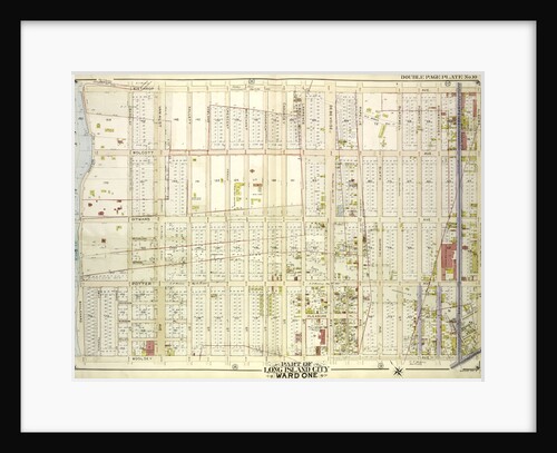
Map bounded by Boulevard, Winthrop Ave., Wolcott Ave., Ditmars Ave., Potter Ave., Woolsey Ave., Flushing Ave., Nassau Ave., Frankfort Ave.,...
Anonymous
Map bounded by Van Pelt St., Greenpoint Ave., Hunters Point Ave., Borden Ave., Howard St., Spring St., Preston St; Including...
Anonymous
Map bounded by Old Bowery Bay Road, Flushing Ave., Potter Ave
Anonymous
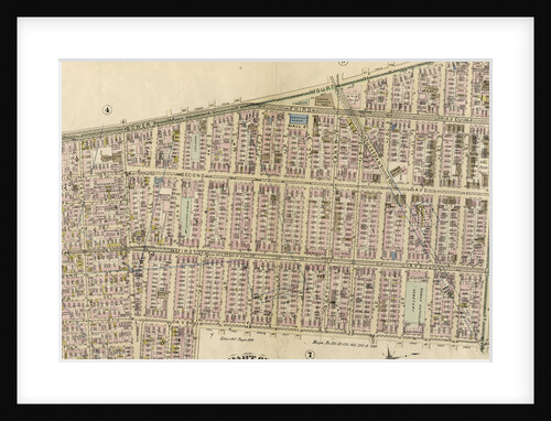
Part of Ward 22, New York City
Anonymous
Part of Ward 12, New York City
Anonymous
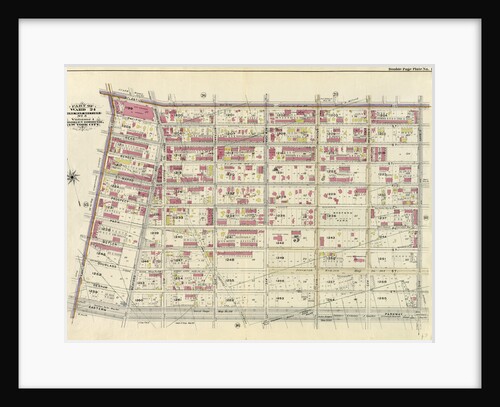
Part of Ward 17, New York City
Anonymous
Part of Ward 12, New York City
Anonymous
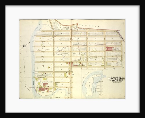
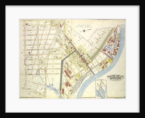
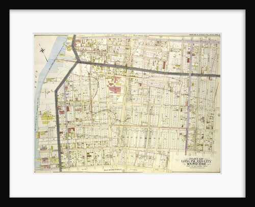
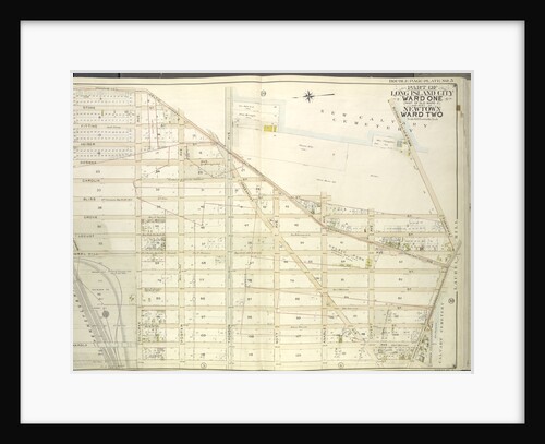
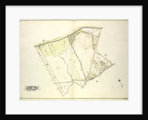
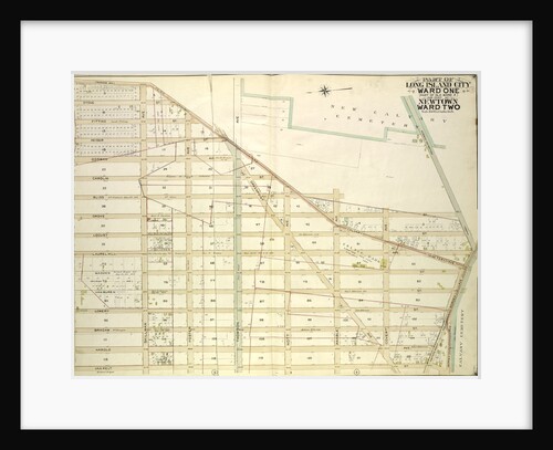
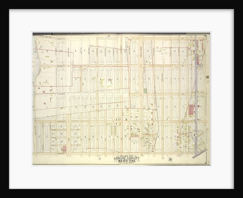
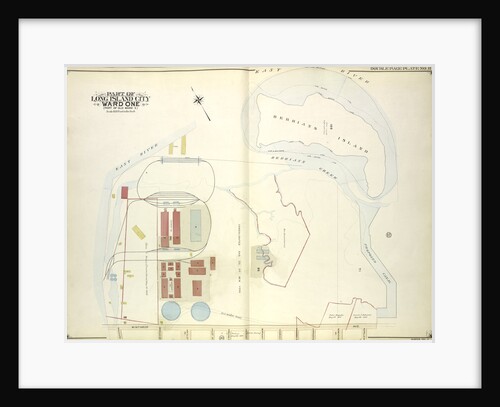
Map bounded by Water St., Marsh St., Proposed Canal; Part of Long Island City Ward One Part of Old Wards...
Anonymous
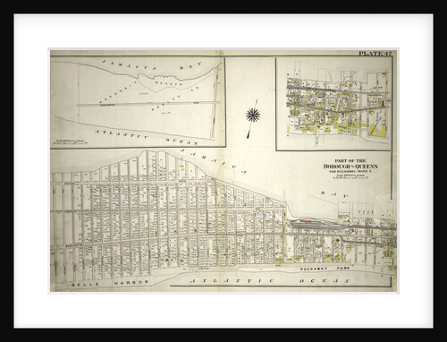
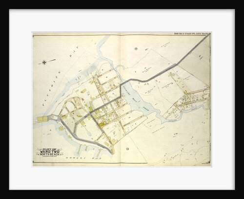
Part of the Borough of Queens, Far Rockaway, Ward 5, New York
Anonymous
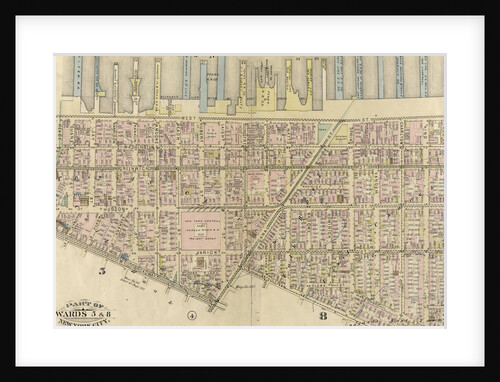
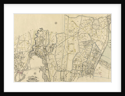
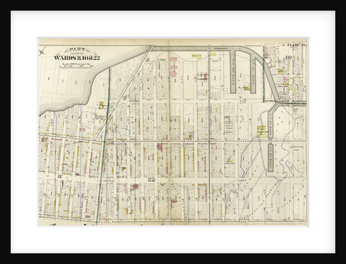
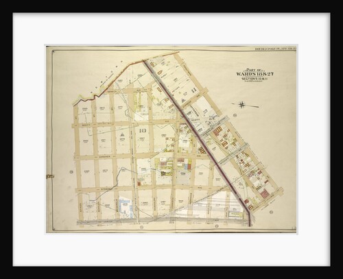
Part of Wards 5 & 8, New York City
Anonymous
Map bounded by Albany Ave., East New York Ave. Old Earl St; IncludingNew York Ave., St. Johns PL. Douglass St.,...
Anonymous
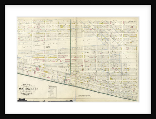
Part of Wards 23 & 25. City of Brooklyn, New York
Anonymous
Part of Ward 23, New York City
Anonymous
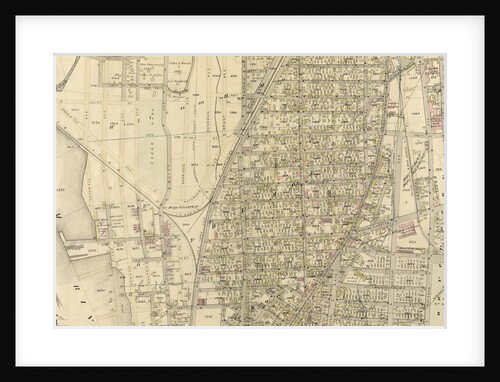
Map bounded by Webster Ave., Washington Ave., Pierce Ave., Graham Ave., Franklyn Ave., Vernon Ave., Broadway, Jamaica Ave., Rapelje Ave.,...
Anonymous
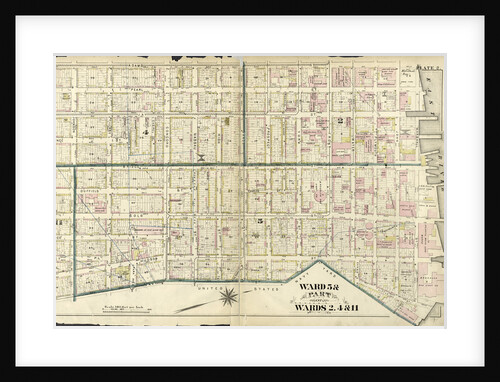
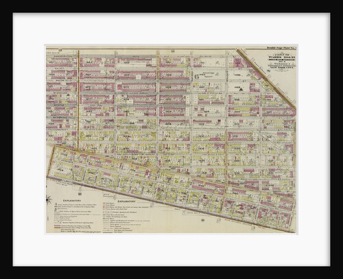
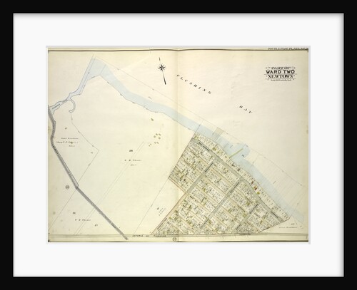
Ward 5 & Part of Wards 2, 4 & 11, New York
Anonymous
Part of Ward 24. Land Map Section, No. 5, Volume 1, Brooklyn Borough, New York City
Anonymous
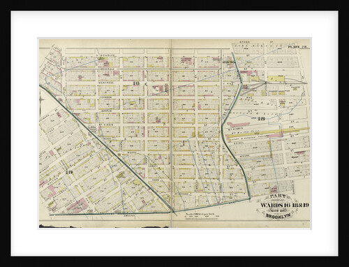
Part of Wards 16, 18 & 19. City of Brooklyn, New York
Anonymous
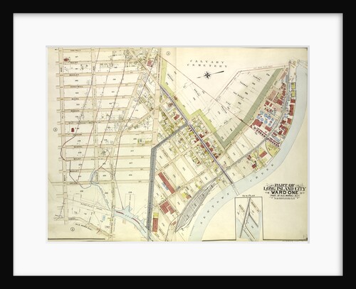
Map bounded by Woodside Ave., Celtic Ave. Highway to Calvary Cemetery, Thomson Ave; Including Greenpoint Ave., Bushwick., New York
Anonymous
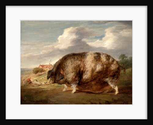
Gloucestershire Old Spot
James Ward
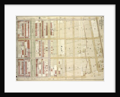
Part of Wards 24 & 29. Land Map Section, No. 5, Volume 1, Brooklyn Borough, New York City
Anonymous
Map bounded by Flushing Bay, Beach St., Jackson Creek, Old Bowery Road, Astoria and Flushing Turnpike; Including Bowery Bay, Grand...
Anonymous
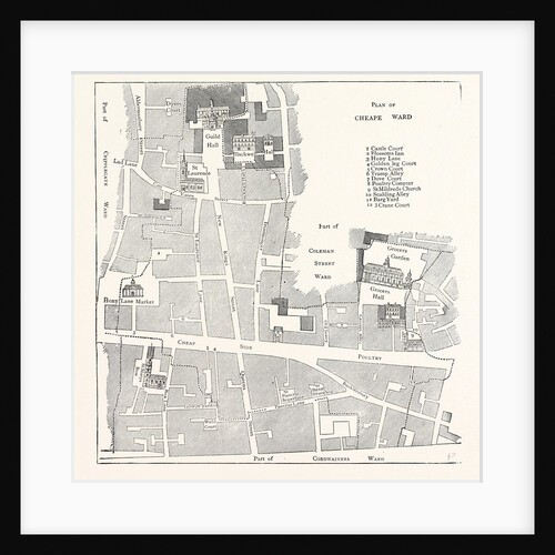
Old Map of the Ward of Cheap About 1750 London
Anonymous
Part of Ward 24, New York City
Anonymous
Map bounded by Bowery Road, Old Bowery Road, Flushing and Astoria Road, Jackson Ave., Coddington PL; Including Park Ave., Flushing...
Anonymous
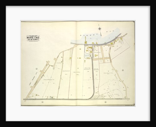
Map bounded by Newtown Ave., Covert Ave. Betts Ave., Old Brook School Road, Maurice Ave; Including Astoria Ave., Maspeth Ave.,...
Anonymous
Map bounded by Woodside Ave., Celtic Ave. Highway to Calvary Cemetery, Hunters Point Ave; Including Borden Ave., New York
Anonymous
Part of Wards 8, 10, & 22, New York
Anonymous
Map bounded by Long Island City, Cabinet St., Bowery Bay Road, Shore Road; Including Old Bowery Bay Road, Kouvenhoven Ave.,...
Anonymous
Map bounded by Newtown Creek, Troutman St; Including Irving Ave., Varick Ave., Stagg St., New York
Anonymous
Map bounded by Winthrop Ave
Anonymous
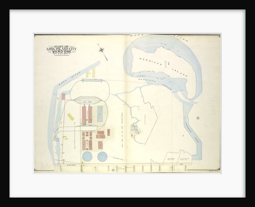
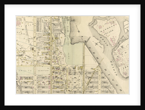
Map bounded by East River, Berrians Island, Berrians Creek, Proposed Canal, Rapelje Ave., Debevoise Ave., Lawrence St., chauncey St., Goodric.,...
Anonymous
Part of Wards 23 & 25. Land Map Section, No. 6, Volume 1, Brooklyn Borough, New York City
Anonymous
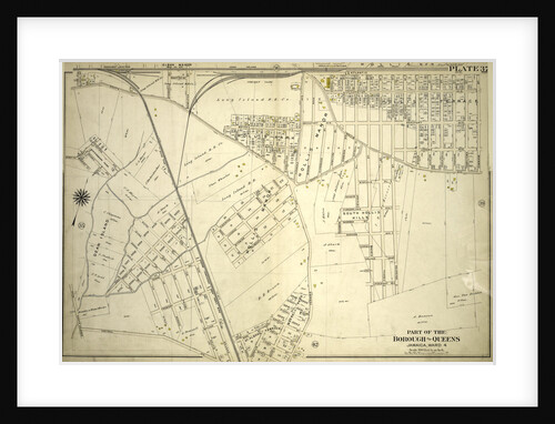
Part of the Borough of Queens, Jamaica, Ward 4, New York
Anonymous
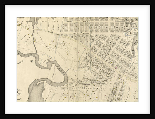
Map bounded by Flushing Bay, Bay Shore Terrace, Harbour PL; Including Sound View PL., Astoria and Flushing Turnpike, Old Bowery...
Anonymous
1
2
3
…
14
Next »
Recently viewed
Clear history