

Sizing information
| Overall size (inc frame) | x cm ( x in) |
| Depth | cm (in) |
| Artwork | x cm ( x in) |
| Border (mount) |
cm
top/bottom
(in)
cm left/right (in) |
| The paper size of our wall art shipped from the US is sized to the nearest inch. | |

Our prints
We use a 200gsm fine art paper and premium branded inks to create the perfect reproduction.
Our expertise and use of high-quality materials means that our print colours are independently verified to last between 100 and 200 years.
Read more about our fine art prints.
Manufactured in the UK, the US and the EU
All products are created to order in our print factories around the globe, and we are the trusted printing partner of many high profile and respected art galleries and museums.
We are proud to have produced over 1 million prints for hundreds of thousands of customers.
Delivery & returns
We print everything to order so delivery times may vary but all unframed prints are despatched within 1–3 days.
Delivery to the UK, EU & US is free when you spend £75. Otherwise, delivery to the UK costs £5 for an unframed print of any size.
We will happily replace your order if everything isn’t 100% perfect.
Product images of Map of William Dampier's circumnavigation of the world, 1703


Product details Map of William Dampier's circumnavigation of the world, 1703
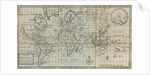
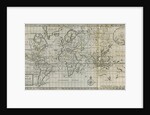
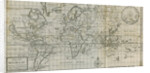
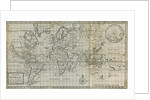
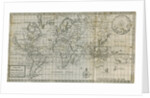
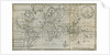
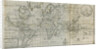
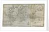
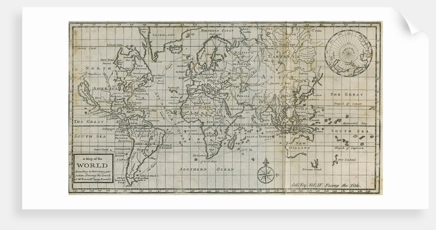
Map of William Dampier's circumnavigation of the world, 1703
Map of the world with an inset projection of the North Pole, upper left. With the track of Dampier's St.George voyage, commencing in 1703 marked by a dotted line. Frontispiece to volume 4 of the book: A collection of voyages..., by William Dampier et.al., 4 volumes, (London, James and John Knapton, 1729). Illustrating A voyage round the world. Being an account of Capt. William Dampier's expedition into the South Seas in the ship St. George. With his various adventures and engagements...by William Funnell. Inscribed: 'A Map of the WORLD According to Marcators projection, Shewing the Course of Mr. Funnells Voyage Round it. Coll: Voy: Vol: IV. Facing the Title.'
Original: copperplate engraving. 1729
- Image ref: RS-9590
- The Royal Society
Find related images
zoom